Rookery Copse

Wood, Forest in Dorset

England

Rookery Copse

Benchmark on cottage, Alton Pancras Ordnance Survey benchmark on cottage in Alton Pancras, described on database at <span class="nowrap"><a title="http://www.bench-marks.org.uk/bm69121" rel="nofollow ugc noopener" href="http://www.bench-marks.org.uk/bm69121">Link</a><img style="margin-left:2px;" alt="External link" title="External link - shift click to open in new window" src="https://s1.geograph.org.uk/img/external.png" width="10" height="10"/></span>.
Benchmark on cottage, Alton Pancras Credit: Becky Williamson

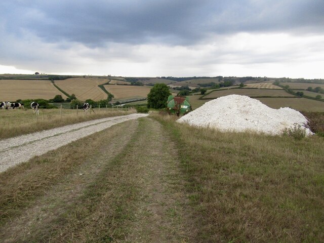
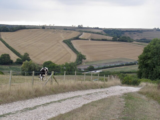
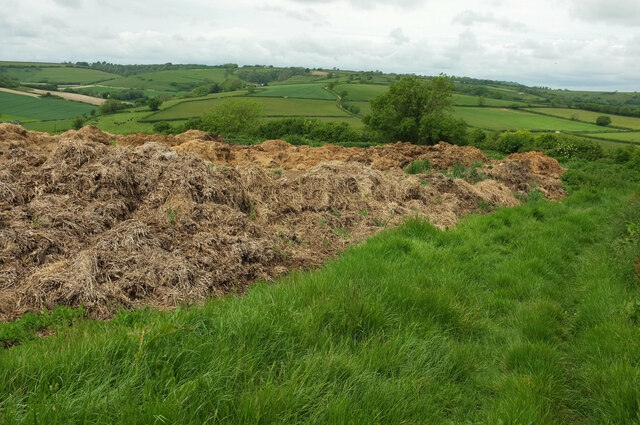
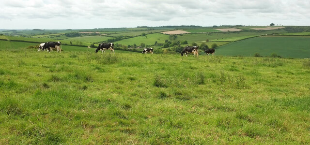
Rookery Copse is a picturesque woodland located in the county of Dorset, England. Covering an area of approximately 50 acres, it is a charming and tranquil natural space that attracts visitors from both near and far. The copse is situated on the outskirts of the small village of Rookery, nestled between rolling hills and meandering streams.

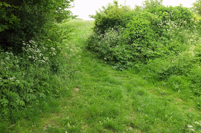
The woodland is predominantly composed of native deciduous trees such as oak, beech, and birch, creating a diverse and vibrant ecosystem. The trees form a dense canopy that provides shade and shelter for a variety of flora and fauna, including bluebells, foxgloves, and woodpeckers.

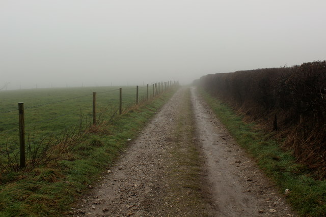
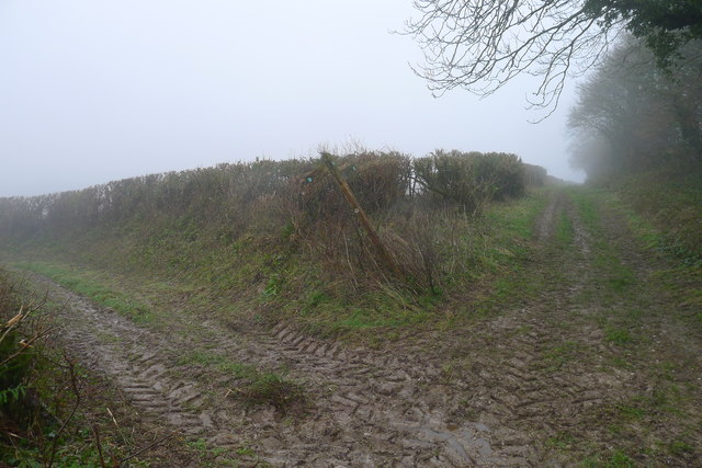
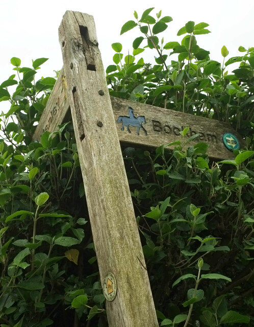
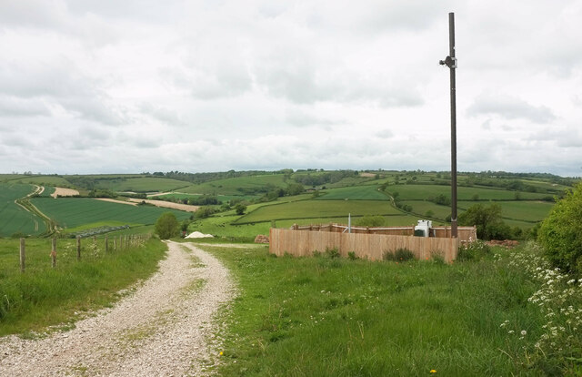
A network of well-maintained footpaths winds through the copse, allowing visitors to explore its beauty at their own pace. These paths lead to several enchanting clearings, where visitors can rest and immerse themselves in the tranquil atmosphere of the woodland. The copse is also home to a small pond, which adds to its natural charm and provides a habitat for dragonflies, frogs, and other aquatic creatures.

Rookery Copse is not only a haven for nature enthusiasts but also a popular destination for those seeking outdoor activities. The woodland offers excellent opportunities for walking, jogging, and birdwatching, with several strategically placed benches and bird hides for observation.

The copse is managed by the local council, ensuring its conservation and preservation for future generations to enjoy. Whether it is the vibrant colors of spring, the lush greenery of summer, or the golden hues of autumn, Rookery Copse offers a captivating experience for all who visit.

If you have any feedback on the listing, please let us know in the comments section below.

Rookery Copse Images

Images are sourced within 2km of 50.824518/-2.4454316 or Grid Reference ST6802. Thanks to Geograph Open Source API. All images are credited.

Benchmark on cottage, Alton Pancras Ordnance Survey benchmark on cottage in Alton Pancras, described on database at <span class="nowrap"><a title="http://www.bench-marks.org.uk/bm69121" rel="nofollow ugc noopener" href="http://www.bench-marks.org.uk/bm69121">Link</a><img style="margin-left:2px;" alt="External link" title="External link - shift click to open in new window" src="https://s1.geograph.org.uk/img/external.png" width="10" height="10"/></span>.
Benchmark on cottage, Alton Pancras
Ordnance Survey benchmark on cottage in Alton Pancras, described on database at LinkExternal link.
Wessex Ridgeway on the Western Flanks of Church Hill A misty scene on the chalk ridge of Church Hill
Wessex Ridgeway on the Western Flanks of Church Hill
A misty scene on the chalk ridge of Church Hill
Stall waste dumped on Church Hill Hopefully for later dispersal on the land, without leaching of nitrates into the underlying chalk
Stall waste dumped on Church Hill
Hopefully for later dispersal on the land, without leaching of nitrates into the underlying chalk
The Hardy Way to Henley (left) and White Way (ahead) Neither of them the Wessex Ridgeway path I'm trying to follow
The Hardy Way to Henley (left) and White Way (ahead)
Neither of them the Wessex Ridgeway path I'm trying to follow
A pile of chalk On the descent of Ball Hill/Church Hill above Barcombe Farm.
A pile of chalk
On the descent of Ball Hill/Church Hill above Barcombe Farm.
Road off Church Hill
Penny Farthing Wood A wood at the head of a combe, seen looking left from <a href="https://www.geograph.org.uk/photo/7540971">ST6803 : Farmland around Holcombe Dairy</a>, with obvious overlap.
Penny Farthing Wood
A wood at the head of a combe, seen looking left from ST6803 : Farmland around Holcombe Dairy, with obvious overlap.
Crowthorne Lane Note how much more overgrown the green lane has become uphill of the gateway from where <a href="https://www.geograph.org.uk/photo/7584621">ST6903 : Field by Hardy Way</a> was taken. The Hardy Way continues to follow footpath S10 31.
Crowthorne Lane
Note how much more overgrown the green lane has become uphill of the gateway from where ST6903 : Field by Hardy Way was taken. The Hardy Way continues to follow footpath S10 31.
Crowthorne Lane The Hardy Way and footpath S10 31 follow the green lane around a couple of bends down towards Henley, some of which can be seen in the distance.
Crowthorne Lane
The Hardy Way and footpath S10 31 follow the green lane around a couple of bends down towards Henley, some of which can be seen in the distance.
Waymarks, Hardy Way The lower waymark containing the usual yellow arrow has the following around the edge: "Countryside Activity Trail - Picture Trek". The arm of the signpost pointing towards Bookham has a Wessex Ridgeway waymark but contains a footprint instead of the Wessex wyvern, and my map doesn't show the ridgeway LDP going that way. And is that the Hardy Way waymark at the end of the Henley arm? If so, it's well hidden.
Waymarks, Hardy Way
The lower waymark containing the usual yellow arrow has the following around the edge: "Countryside Activity Trail - Picture Trek". The arm of the signpost pointing towards Bookham has a Wessex Ridgeway waymark but contains a footprint instead of the Wessex wyvern, and my map doesn't show the ridgeway LDP going that way. And is that the Hardy Way waymark at the end of the Henley arm? If so, it's well hidden.
Wessex Ridgeway towards Alton Pancras The LDP follows bridleway S5 1, through a hedge at the same junction where <a href="https://www.geograph.org.uk/photo/7584998">ST7003 : Waymarks, Hardy Way</a> was taken.
Wessex Ridgeway towards Alton Pancras
The LDP follows bridleway S5 1, through a hedge at the same junction where ST7003 : Waymarks, Hardy Way was taken.
Manure heap by the Hardy Way Doubtless a sight and smell familiar to the novelist, this expansive heap fills the triangular corner of a field on Church Hill bounded by bridleways.
Manure heap by the Hardy Way
Doubtless a sight and smell familiar to the novelist, this expansive heap fills the triangular corner of a field on Church Hill bounded by bridleways.
Bridleway junction, Church Hill On the right, the Hardy Way and the Wessex Ridgeway follow bridleway S5 2 by the hedge. Those on the Wessex Ridgeway could use bridleway S5 3 on the left, and safe a few metres, although the mapped course keeps to the right of the track, taking you through the manure heap seen in <a href="https://www.geograph.org.uk/photo/7585173">ST7003 : Manure heap by the Hardy Way</a> - and you need to leave the track to follow bridleway S5 1 through the hedge to pass the large tree. I should be able to tell you what the equipment and pole within the fence are all about, but I have no idea.
Bridleway junction, Church Hill
On the right, the Hardy Way and the Wessex Ridgeway follow bridleway S5 2 by the hedge. Those on the Wessex Ridgeway could use bridleway S5 3 on the left, and safe a few metres, although the mapped course keeps to the right of the track, taking you through the manure heap seen in ST7003 : Manure heap by the Hardy Way - and you need to leave the track to follow bridleway S5 1 through the hedge to pass the large tree. I should be able to tell you what the equipment and pole within the fence are all about, but I have no idea.
Cattle on Church Hill From the Hardy Way and the Wessex Ridgeway, with a view over the Piddle valley, in which sits Barcombe Farm.
Cattle on Church Hill
From the Hardy Way and the Wessex Ridgeway, with a view over the Piddle valley, in which sits Barcombe Farm.
Barcombe A view from the Hardy Way after it diverges from the Wessex Ridgeway at <a href="https://www.geograph.org.uk/photo/7585289">ST7003 : Barn on Church Hill</a>. Since Barcombe Farm is at the mouth of this combe where it meets the Piddle valley, I have christened it, with unwarranted confidence, Barcombe. On the left is Penny Farthing Wood.
Barcombe
A view from the Hardy Way after it diverges from the Wessex Ridgeway at ST7003 : Barn on Church Hill. Since Barcombe Farm is at the mouth of this combe where it meets the Piddle valley, I have christened it, with unwarranted confidence, Barcombe. On the left is Penny Farthing Wood.
Piddle valley around Barcombe Farm Seen from the Hardy Way past Penny Farthing Wood (left).
Piddle valley around Barcombe Farm
Seen from the Hardy Way past Penny Farthing Wood (left).
Alton Pancras, River Piddle Looking downstream. The Piddle, a chalk stream, flows into Poole Harbour near Wareham.
Alton Pancras, River Piddle
Looking downstream. The Piddle, a chalk stream, flows into Poole Harbour near Wareham.
Tumulus This series of lumps are marked on O.S. maps. According to the information sign in the village these are burial mounds and date from 1500-2500 bc.
Tumulus
This series of lumps are marked on O.S. maps. According to the information sign in the village these are burial mounds and date from 1500-2500 bc.
Show me another place!

Rookery Copse is located at Grid Ref: ST6802 (Lat: 50.824518, Lng: -2.4454316)

Unitary Authority: Dorset

Police Authority: Dorset

What 3 Words

///head.frizz.storybook. Near Charminster, Dorset

Related Wikis

Alton Pancras

Alton Pancras is a small village and civil parish in Dorset, England. In the 2011 census the civil parish had a population of 175. The village church is...

Watts Hill

Watts Hill is a hill in the Dorset Downs and one of the highest in the county of Dorset, England. The height of the summit is variously recorded as 261...

Woolford's Water

Woolford's Water is a village in Dorset, England.

Bookham Knoll

Bookham Knoll is a rounded hill, 211 metres (692 ft) high, about 1 kilometre southeast of the village of Buckland Newton in the county of Dorset in southern...

Cerne Abbas Giant

The Cerne Abbas Giant is a hill figure near the village of Cerne Abbas in Dorset, England. 55 metres (180 ft) high, it depicts a standing nude male with...

Buckland Newton

Buckland Newton is a village and civil parish in Dorset, England. It is situated beneath the scarp slope of the Dorset Downs, 7+1⁄2 miles (12.1 km) south...

Buckland Newton Hundred

Buckland Newton Hundred was a hundred in the county of Dorset, England, containing the following parishes: Buckland Newton Glanvilles Wootton Mappowder...

Cerne Abbey

Cerne Abbey was a Benedictine monastery founded in 987 in the town now called Cerne Abbas, Dorset, by Æthelmær the Stout. == History == The abbey was founded...

Have you been to Rookery Copse?

Leave your review of Rookery Copse below (or comments, questions and feedback).