Penny Grove

Wood, Forest in Gloucestershire Stroud

England

Penny Grove

Berkeley Castle -  game larder This is where the game shot on the estate and meat were stored in the open air.
Berkeley Castle - game larder Credit: Sarah Smith

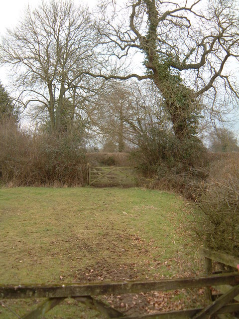
Penny Grove is a charming village located in the county of Gloucestershire, England. Situated amidst a picturesque wood and forest landscape, it offers residents and visitors a serene and idyllic setting to enjoy. The village is renowned for its natural beauty, with an abundance of trees and greenery, making it an appealing destination for nature enthusiasts and those seeking a peaceful retreat.

The wood surrounding Penny Grove is known for its diverse range of tree species, including oak, beech, and chestnut, which create a stunning canopy of foliage throughout the year. The forest, located nearby, provides ample opportunities for leisurely walks and exploration, with numerous well-maintained trails and paths to discover.

Penny Grove itself is a small and close-knit community, with a population of approximately 500 residents. The village offers a range of amenities to cater to the needs of its inhabitants, including a local grocery store, a post office, and a quaint village pub. The residents take pride in maintaining the village's traditional charm, with many of the buildings featuring classic Cotswold stone architecture.

Visitors to Penny Grove can also enjoy the nearby attractions, such as the historic market town of Tetbury and the stunning Westonbirt Arboretum, renowned for its collection of rare and exotic trees. The village is well-connected, with easy access to major road networks, making it a convenient base for exploring the wider Gloucestershire area.

In summary, Penny Grove is a hidden gem in Gloucestershire, offering a peaceful and natural environment, a close-knit community, and easy access to the region's attractions.

If you have any feedback on the listing, please let us know in the comments section below.
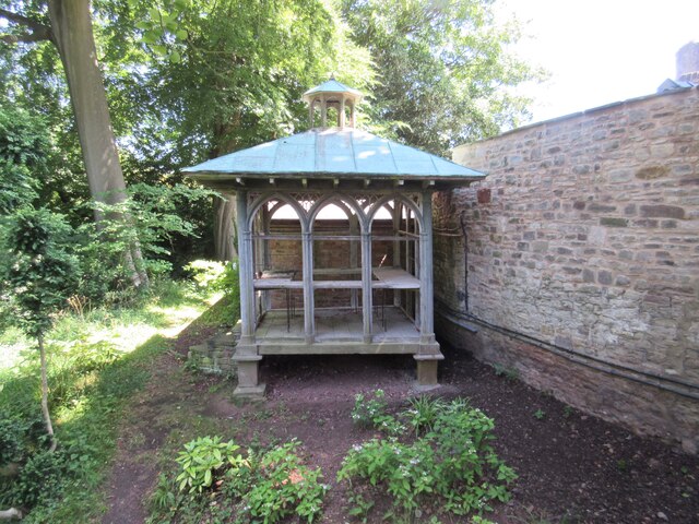
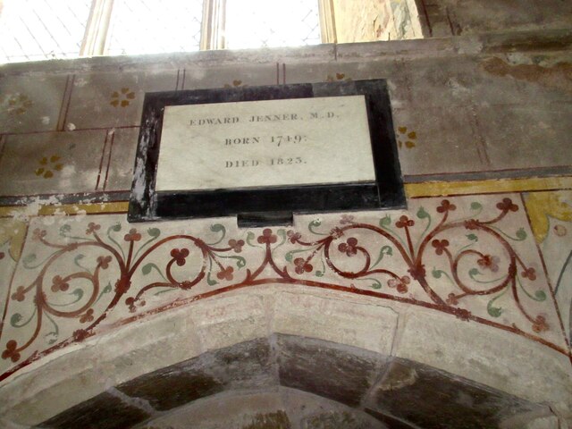
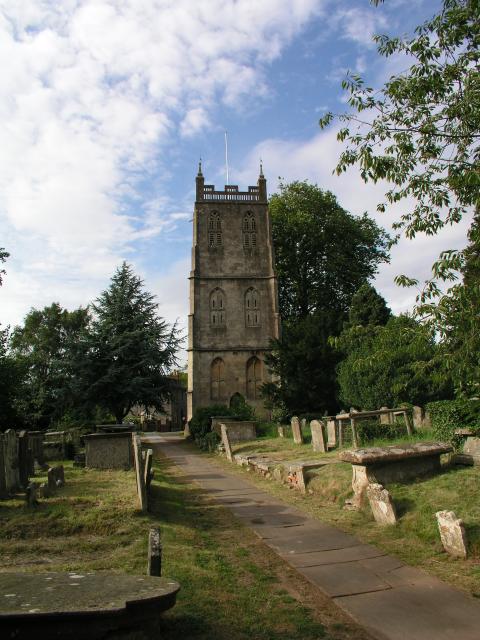
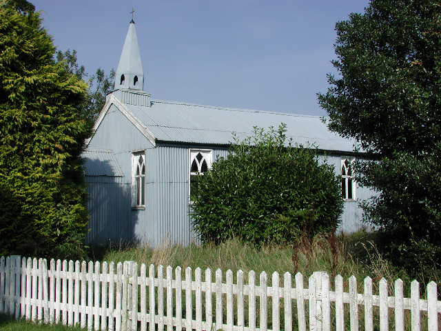
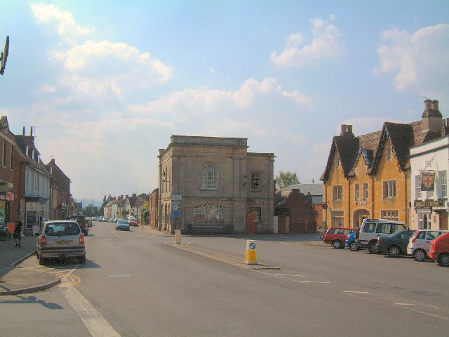
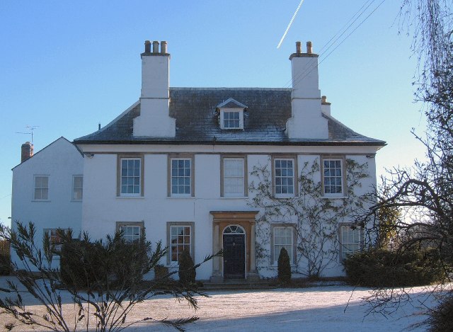
Penny Grove Images

Images are sourced within 2km of 51.706678/-2.4541769 or Grid Reference SO6800. Thanks to Geograph Open Source API. All images are credited.

Berkeley Castle -  game larder This is where the game shot on the estate and meat were stored in the open air.
Berkeley Castle - game larder
This is where the game shot on the estate and meat were stored in the open air.
St Mary's Church Berkeley - Berkeley tomb This is the tomb of Thomas the 8th Lord Berkeley (died 1361) and his second wife Katherine.  Thomas was one of two custodians of Edward II when he was imprisoned at Berkeley Castle.  While he was absent from the Castle the King was murdered.  Thomas was summoned in front of a jury for the murder but was acquitted.
St Mary's Church Berkeley - Berkeley tomb
This is the tomb of Thomas the 8th Lord Berkeley (died 1361) and his second wife Katherine. Thomas was one of two custodians of Edward II when he was imprisoned at Berkeley Castle. While he was absent from the Castle the King was murdered. Thomas was summoned in front of a jury for the murder but was acquitted.
St Mary's Church Berkeley -  Memorial On the south wall of the church is a memorial to Dr Edward Jenner, who became famous for his spread of vaccination against smallpox, although the less well-known Benjamin Jesty, a farmer of Yetminster, Dorset, was experimenting with his smallpox vaccinating about 20 years earlier <a href="https://www.geograph.org.uk/photo/4514647">ST5910 : Benjamin Jesty blue plaque, Yetminster</a> and <a href="https://www.geograph.org.uk/photo/1500913">SY9777 : The grave of Benjamin Jesty - Worth Matravers</a>.
St Mary's Church Berkeley - Memorial
On the south wall of the church is a memorial to Dr Edward Jenner, who became famous for his spread of vaccination against smallpox, although the less well-known Benjamin Jesty, a farmer of Yetminster, Dorset, was experimenting with his smallpox vaccinating about 20 years earlier ST5910 : Benjamin Jesty blue plaque, Yetminster and SY9777 : The grave of Benjamin Jesty - Worth Matravers.
Berkeley Church The detached bell-tower dates from 1753AD. The church is dedicated to St Mary the Virgin.
Berkeley Church
The detached bell-tower dates from 1753AD. The church is dedicated to St Mary the Virgin.
Breadstone (Glos) St Michael's Church Scheduled for demolition after closure in 2000, the church still lingered on in March 2005.
Breadstone (Glos) St Michael's Church
Scheduled for demolition after closure in 2000, the church still lingered on in March 2005.
Berkeley: the Market Place & Town Hall Although only the size of a small village, Berkeley is actually a town with a Mayor and Town Council. The hub of the community is the Market Place.
Berkeley: the Market Place & Town Hall
Although only the size of a small village, Berkeley is actually a town with a Mayor and Town Council. The hub of the community is the Market Place.
Winter morning at the Jenner Museum The home of Dr Edward Jenner, where he successfully experimented with vaccination to prevent smallpox
Winter morning at the Jenner Museum
The home of Dr Edward Jenner, where he successfully experimented with vaccination to prevent smallpox
Green Lane This public footpath crosses the square diagonally from north-west to south-east. This view is as the path leaves the road in the top north-western corner of the square, just south of Halmore and heads south-east to Breadstone.
Green Lane
This public footpath crosses the square diagonally from north-west to south-east. This view is as the path leaves the road in the top north-western corner of the square, just south of Halmore and heads south-east to Breadstone.
Oakhunger Lane Allotments, Hook Street Berkeley's allotments are in the hamlet of Hook Street, half a mile west of the town centre. This view is looking south, over the allotments towards the ridge of the mediaeval Whitcliff Deer Park. The Pylons carried electricity from the nearby (de-commissioned) Berkeley Nuclear Power Station.
Oakhunger Lane Allotments, Hook Street
Berkeley's allotments are in the hamlet of Hook Street, half a mile west of the town centre. This view is looking south, over the allotments towards the ridge of the mediaeval Whitcliff Deer Park. The Pylons carried electricity from the nearby (de-commissioned) Berkeley Nuclear Power Station.
Berkeley Vale Park A Mobile Homes park at Hook Street, Berkeley, looking east.
Berkeley Vale Park
A Mobile Homes park at Hook Street, Berkeley, looking east.
Toll house, Berkeley Heath
The Chantry It was here that Edward Jenner who discovered the principles of vaccination resided for the later part of his life.  His work and discoveries ultimately the total eradication of Smallpox from the world in 1979 . Today the building houses an excellent museum dedicated to his life's work.
The Chantry
It was here that Edward Jenner who discovered the principles of vaccination resided for the later part of his life. His work and discoveries ultimately the total eradication of Smallpox from the world in 1979 . Today the building houses an excellent museum dedicated to his life's work.
Postbox at the entrance to Berkeley Castle
Jenner Museum
Jenner Museum
Jenner Museum sign
Jenner Museum sign
Berkeley church tower
Union Chapel and Town Hall, Berkeley These two buildings are at the eastern end of Salter Street where it meets the Market Place. The chapel is dated 1835 <span class="nowrap"><a title="http://www.imagesofengland.org.uk/Details/Default.aspx?id=413932&mode=adv" rel="nofollow ugc noopener" href="http://www.imagesofengland.org.uk/Details/Default.aspx?id=413932&mode=adv">Link</a><img style="margin-left:2px;" alt="External link" title="External link - shift click to open in new window" src="https://s1.geograph.org.uk/img/external.png" width="10" height="10"/></span> . The early C19 town hall has a rusticated ground floor with "elaborately glazed windows" <span class="nowrap"><a title="http://www.imagesofengland.org.uk/details/default.aspx?id=413931" rel="nofollow ugc noopener" href="http://www.imagesofengland.org.uk/details/default.aspx?id=413931">Link</a><img style="margin-left:2px;" alt="External link" title="External link - shift click to open in new window" src="https://s1.geograph.org.uk/img/external.png" width="10" height="10"/></span> .
Union Chapel and Town Hall, Berkeley
These two buildings are at the eastern end of Salter Street where it meets the Market Place. The chapel is dated 1835 LinkExternal link . The early C19 town hall has a rusticated ground floor with "elaborately glazed windows" LinkExternal link .
Salter Street, Berkeley A row of listed early C19 cottages, most with their brick painted, on the north side of the street, which is widening towards a little green at the junction with Stock Lane.
Salter Street, Berkeley
A row of listed early C19 cottages, most with their brick painted, on the north side of the street, which is widening towards a little green at the junction with Stock Lane.
Show me another place!

Penny Grove is located at Grid Ref: SO6800 (Lat: 51.706678, Lng: -2.4541769)

Administrative County: Gloucestershire

District: Stroud

Police Authority: Gloucestershire

What 3 Words

///lighters.listed.starred. Near Berkeley, Gloucestershire

Related Wikis

Berkeley railway station

Berkeley railway station served the town of Berkeley in Gloucestershire, England. The station was on the Sharpness Branch Line, part of the Midland Railway...

Hamfallow

Hamfallow is a civil parish in the district of Stroud, Gloucestershire. There is no village centre, the parish consists of farms and hamlets such as Abwell...

Berkeley Town Hall

Berkeley Town Hall is a municipal building in Salter Street, Berkeley, Gloucestershire, England. The structure, which is now used as a community events...

Berkeley, Gloucestershire

Berkeley ( BARK-lee) is a market town and civil parish in the Stroud District in Gloucestershire, England. It lies in the Vale of Berkeley between the...

St Mary's Church, Berkeley

The Church of St Mary the Virgin is an Anglican church in Berkeley, Gloucestershire, England, and in the Diocese of Gloucester. The building is Grade I...

Berkeley Castle

Berkeley Castle ( BARK-lee; historically sometimes spelled as Berkley Castle or Barkley Castle) is a castle in the town of Berkeley, Gloucestershire, United...

Sharpness railway station

Sharpness railway station served the village and docks of Sharpness in Gloucestershire, England from 1875 to 1964. == History == The station was on the...

Sharpness

Sharpness ( sharp-NESS) is an English port in Gloucestershire, one of the most inland in Britain, and eighth largest in the South West England region....

Nearby Amenities

Located within 500m of 51.706678,-2.4541769
Barrier: stile
Lat/Long: 51.7103206/-2.4520828
Barrier: stile
Lat/Long: 51.7096234/-2.455175
Bus Stop
Vale of Berkeley College
Naptan AtcoCode: 1600GL369
Naptan Bearing: S
Naptan CommonName: Vale of Berkeley College
Naptan NaptanCode: gloamadt
Naptan Street: Berkeley Rd
Naptan Verified: no
Source: naptan_import
Lat/Long: 51.7085324/-2.4603344
Bus Stop
Vale of Berkeley College
Naptan AtcoCode: 1600GL370
Naptan Bearing: N
Naptan CommonName: Vale of Berkeley College
Naptan Indicator: Opp
Naptan NaptanCode: gloamadg
Naptan Street: Berkeley Rd
Naptan Verified: no
Source: naptan_import
Lat/Long: 51.7086753/-2.4605819
Bus Stop
Abwell
Naptan AtcoCode: 1600GLS895
Naptan Bearing: S
Naptan CommonName: Abwell
Naptan NaptanCode: gloamajp
Naptan Street: Berkeley Rd
Naptan Verified: no
Source: naptan_import
Lat/Long: 51.7057492/-2.4592787
Bus Stop
Abwell
Naptan AtcoCode: 1600GLS896
Naptan Bearing: N
Naptan CommonName: Abwell
Naptan Indicator: Opp
Naptan NaptanCode: gloamajm
Naptan Street: Berkeley Rd
Naptan Verified: no
Source: naptan_import
Lat/Long: 51.7056052/-2.4593062
Power: tower
Source: bing
Lat/Long: 51.7026205/-2.4549115
Power: tower
Source: bing
Lat/Long: 51.7051701/-2.4475391
Power: tower
Source: bing
Lat/Long: 51.7032251/-2.450892
Barrier: stile
Lat/Long: 51.7110023/-2.4541035
Barrier: stile
Lat/Long: 51.7107834/-2.4549083
Abwell
Place: hamlet
Lat/Long: 51.7054032/-2.4595801
Power: pole
Lat/Long: 51.7092728/-2.4512681
Power: pole
Lat/Long: 51.7083736/-2.4524188
Power: pole
Lat/Long: 51.7081276/-2.45343
Power: pole
Lat/Long: 51.7077154/-2.4551198
Power: pole
Lat/Long: 51.7064655/-2.4562678
Power: pole
Lat/Long: 51.7051025/-2.4574372
Power: pole
Lat/Long: 51.7045573/-2.4586201
Power: pole
Lat/Long: 51.70418/-2.4594516
The data included in this document is from www.openstreetmap.org. The data is made available under ODbL.

Have you been to Penny Grove?

Leave your review of Penny Grove below (or comments, questions and feedback).