Flaxley Woods

Wood, Forest in Gloucestershire Forest of Dean

England

Flaxley Woods

St Anthony's Well Image of the historic well in woodland North-west of Flaxley.
St Anthony's Well Credit: Clint Mann

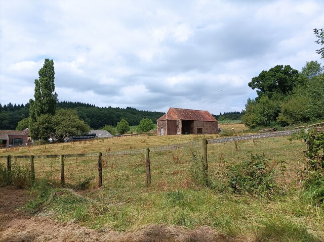
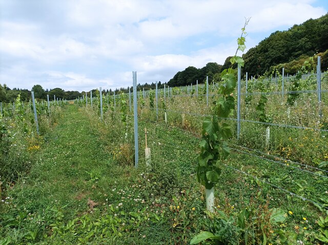
Flaxley Woods is a picturesque woodland situated in the county of Gloucestershire, England. Covering an area of approximately 100 acres, it is a beautiful and diverse natural habitat that offers a tranquil retreat for nature enthusiasts and outdoor adventurers alike.

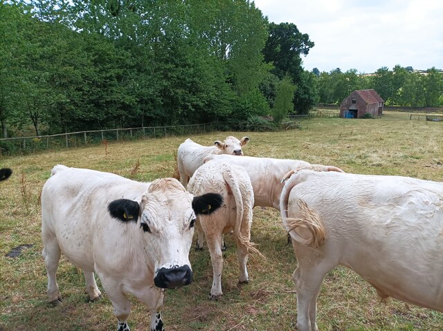
The woods are primarily composed of broadleaf trees, with a mix of oak, beech, and ash being the dominant species. This creates a rich and vibrant canopy that provides shelter and sustenance for a wide variety of flora and fauna. Rare and protected species, such as the lesser-spotted woodpecker and the pearl-bordered fritillary butterfly, can be found within the woods, making it a haven for wildlife conservation.

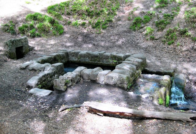
Walking through Flaxley Woods, visitors are treated to a network of well-maintained paths and trails that wind their way through the forest. The paths vary in difficulty, catering to both casual strollers and more experienced hikers. Along the way, one can encounter babbling brooks, charming ponds, and even a small waterfall, adding to the enchanting atmosphere of the woods.

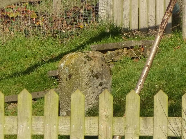
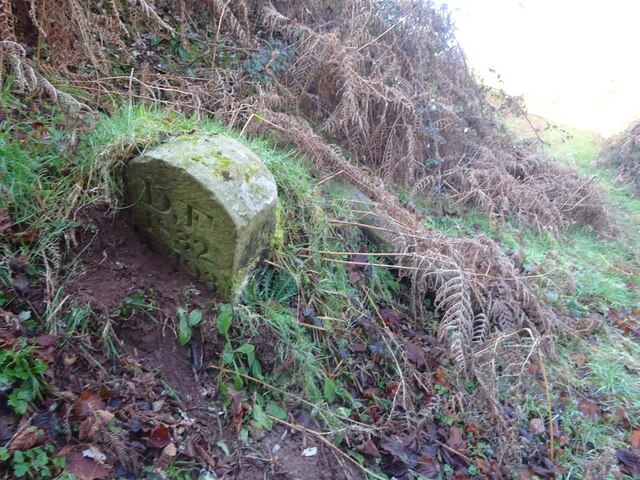
In addition to its natural beauty, Flaxley Woods also holds historical significance. The woods were once part of the Flaxley Abbey estate, and remnants of its past, including old stone walls and the ruins of the abbey, can still be found within the woodland. These historical features add a sense of intrigue and wonder to the overall experience.

Flaxley Woods is a true gem in the Gloucestershire countryside, offering visitors the chance to immerse themselves in nature, discover rare wildlife, and explore the remnants of a fascinating past.

If you have any feedback on the listing, please let us know in the comments section below.

Flaxley Woods Images

Images are sourced within 2km of 51.84465/-2.4579601 or Grid Reference SO6816. Thanks to Geograph Open Source API. All images are credited.

St Anthony's Well Image of the historic well in woodland North-west of Flaxley.
St Anthony's Well
Image of the historic well in woodland North-west of Flaxley.
Machinery in the woods Various pieces of equipment litter the woodland at the end of Jubilee Lane.
Machinery in the woods
Various pieces of equipment litter the woodland at the end of Jubilee Lane.
Barn in Home Farm, Flaxley This barn, possibly a former tithe barn, is now unused, although the field surrounding it is now used for cattle.
Barn in Home Farm, Flaxley
This barn, possibly a former tithe barn, is now unused, although the field surrounding it is now used for cattle.
White Park cattle The White Park cattle of Home Farm, Flaxley, with a possible former tithe barn in the background.
White Park cattle
The White Park cattle of Home Farm, Flaxley, with a possible former tithe barn in the background.
Yard in Home Farm, Flaxley Yard and barns used for storage.
Yard in Home Farm, Flaxley
Yard and barns used for storage.
Vineyard in Home Farm, Flaxley The most southerly of 3 vineyards owned by Kingsthorne on Home Farm. This vineyard contains Chardonnay only.
Vineyard in Home Farm, Flaxley
The most southerly of 3 vineyards owned by Kingsthorne on Home Farm. This vineyard contains Chardonnay only.
Old Boundary Stone, Flaxley In a field South of Hangman's Hill and SE of Flaxley church. It marks the boundary of the "Forest of Dean".

Inscription: D. F / 1832 / Nᴼ. 195

Milestone Society National ID: GL_DFLIBL195em
Old Boundary Stone, Flaxley
In a field South of Hangman's Hill and SE of Flaxley church. It marks the boundary of the "Forest of Dean". Inscription: D. F / 1832 / Nᴼ. 195 Milestone Society National ID: GL_DFLIBL195em
Boundary Stone, Shapridge An original Forest of Dean boundary stone in the garden of a modern house near Abinghall and Mitcheldean.

Inscription: D. F. / 1832 / Nᴼ. 194

Milestone Society National ID: GL_DFLIMI194em
Boundary Stone, Shapridge
An original Forest of Dean boundary stone in the garden of a modern house near Abinghall and Mitcheldean. Inscription: D. F. / 1832 / Nᴼ. 194 Milestone Society National ID: GL_DFLIMI194em
Boundary Stone, Shapridge Slowly descending the slope beside Gloucestershire footpath DMD35, just North of a gate. The slope is subsiding gently East.

Inscription: D. F. / 1832 / Nᴼ. 193

Milestone Society National ID: GL_DFLIMI193em
Boundary Stone, Shapridge
Slowly descending the slope beside Gloucestershire footpath DMD35, just North of a gate. The slope is subsiding gently East. Inscription: D. F. / 1832 / Nᴼ. 193 Milestone Society National ID: GL_DFLIMI193em
Boundary Stone, Shapridge A Forest of Dean boundary stone at the left hand end of a bridge parapet on the NE verge of the road. The coping stones of the parapet are at 91.2 m Above Sea Level.

Inscription: D. F. / 2009 / Nᴼ. 192

Milestone Society National ID: GL_DFLIMI192em
Boundary Stone, Shapridge
A Forest of Dean boundary stone at the left hand end of a bridge parapet on the NE verge of the road. The coping stones of the parapet are at 91.2 m Above Sea Level. Inscription: D. F. / 2009 / Nᴼ. 192 Milestone Society National ID: GL_DFLIMI192em
Boundary Stone, Horsepool Bottom A Forest of Dean boundary stone in a field adjacent to Jubilee Road 1km South of Mitcheldean.

Inscription: D. F / 1832 / Nᴼ. 189

Milestone Society National ID: GL_DFMITC189em
Boundary Stone, Horsepool Bottom
A Forest of Dean boundary stone in a field adjacent to Jubilee Road 1km South of Mitcheldean. Inscription: D. F / 1832 / Nᴼ. 189 Milestone Society National ID: GL_DFMITC189em
Boundary Stone, Horsepool Bottom A Forest of Dean boundary Stone just off Gloucestershire footpath DMD34, which runs NE from Jubilee Road.

Inscription: D. F / 1832 / Nᴼ. 187

Milestone Society National ID: GL_DFMITC187em
Boundary Stone, Horsepool Bottom
A Forest of Dean boundary Stone just off Gloucestershire footpath DMD34, which runs NE from Jubilee Road. Inscription: D. F / 1832 / Nᴼ. 187 Milestone Society National ID: GL_DFMITC187em
Abenhall Church The church in Abenhall, with a footpath sign in the foreground.
Abenhall Church
The church in Abenhall, with a footpath sign in the foreground.
Sheep in field Sheep in a field on the side of Brimps Hill.
Sheep in field
Sheep in a field on the side of Brimps Hill.
Piece of meadow land Edge of the Forest of Dean at Shapridge.
Piece of meadow land
Edge of the Forest of Dean at Shapridge.
Entrance to Monk Hill Farm
Buildings at Spout Farm. Blaisdon
View towards Blaisdon Hill The edge of the Forest of Dean.
View towards Blaisdon Hill
The edge of the Forest of Dean.
Show me another place!

Flaxley Woods is located at Grid Ref: SO6816 (Lat: 51.84465, Lng: -2.4579601)

Administrative County: Gloucestershire

District: Forest of Dean

Police Authority: Gloucestershire

What 3 Words

///showcases.iteration.purchaser. Near Longhope, Gloucestershire

Nearby Locations

Pick's Copse Flaxley Woods

Related Wikis

Wood Green Quarry & Railway Cutting

Wood Green Quarry & Railway Cutting (grid reference SO694166) is a 0.3-hectare (0.74-acre) geological Site of Special Scientific Interest in Gloucestershire...

Flaxley Abbey

Flaxley Abbey is a former Cistercian monastery in England, now a Grade I listed manor and private residence, near the village of Flaxley in the Forest...

Gun's Mills, Flaxley

Gun's Mills, at Flaxley, in the Forest of Dean, Gloucestershire, England, was a major industrial site from the 17th century. Originally built as an armaments...

Welshbury Hill

Welshbury Hill is an Iron Age hill fort near Mitcheldean in Gloucestershire, England. It is thought to have been built by Celts and dates back to 1600...

Flaxley

Flaxley is a small settlement and former civil parish, now in the parish of Blaisdon, in the Forest of Dean, Gloucestershire, England. It is located in...

Blaisdon Hall

Blaisdon Hall (grid reference SO698170) is a Grade II* listed building at Blaisdon. It includes a 0.07-hectare (0.17-acre) biological Site of Special Scientific...

Blaisdon Halt railway station

Blaisdon railway station is a disused stone built railway station that served the village of Blaisdon in Gloucestershire and was the first stop on the...

Blaisdon

Blaisdon is a village and civil parish in the Forest of Dean of Gloucestershire, England, about ten miles west of Gloucester. Its population in 2005 was...

Nearby Amenities

Located within 500m of 51.84465,-2.4579601
Natural: spring
Lat/Long: 51.8434245/-2.4533024
Ford: yes
Lat/Long: 51.8411481/-2.4618432
The data included in this document is from www.openstreetmap.org. The data is made available under ODbL.

Have you been to Flaxley Woods?

Leave your review of Flaxley Woods below (or comments, questions and feedback).