Lomax Wifes Plantation

Wood, Forest in Lancashire

England

Lomax Wifes Plantation

Gateway to Smithills Hall Smithills Hall is a grade I listed building. The gateposts are probably C19.
Gateway to Smithills Hall Credit: Phil and Juliette Platt

Lomax Wifes Plantation is a serene woodland located in Lancashire, England. Situated in the heart of the county, this picturesque forest covers an area of approximately 100 acres, making it a significant natural landmark in the region. The plantation is nestled within the beautiful countryside, surrounded by rolling hills and lush green fields, creating a peaceful and idyllic setting.

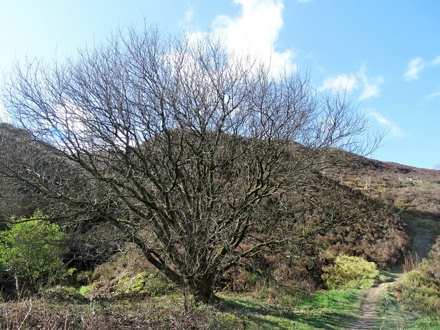
The woodland comprises a diverse range of tree species, including oak, beech, birch, and pine, which contribute to the vibrant and rich ecosystem. The dense foliage provides a haven for an array of wildlife, making it a popular destination for nature enthusiasts and birdwatchers. Visitors can often spot various bird species, such as woodpeckers, owls, and thrushes, along with small mammals like squirrels and rabbits.

Lomax Wifes Plantation offers several well-marked trails and paths, allowing visitors to explore the enchanting woodland at their own pace. These paths wind through the forest, providing opportunities for leisurely walks, jogging, or simply enjoying the tranquil surroundings. The plantation also features a picnic area, where visitors can relax and enjoy a meal amidst the peaceful ambiance of the woodland.

The plantation is easily accessible, with ample parking available for visitors. It operates under the management of the Lancashire Wildlife Trust, ensuring the preservation and conservation of this natural gem for future generations to enjoy. Whether you are seeking solace in nature, a scenic spot for outdoor activities, or an opportunity to connect with wildlife, Lomax Wifes Plantation offers an enriching experience in the heart of Lancashire's countryside.

If you have any feedback on the listing, please let us know in the comments section below.

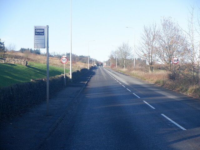
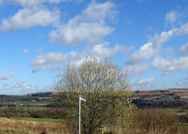
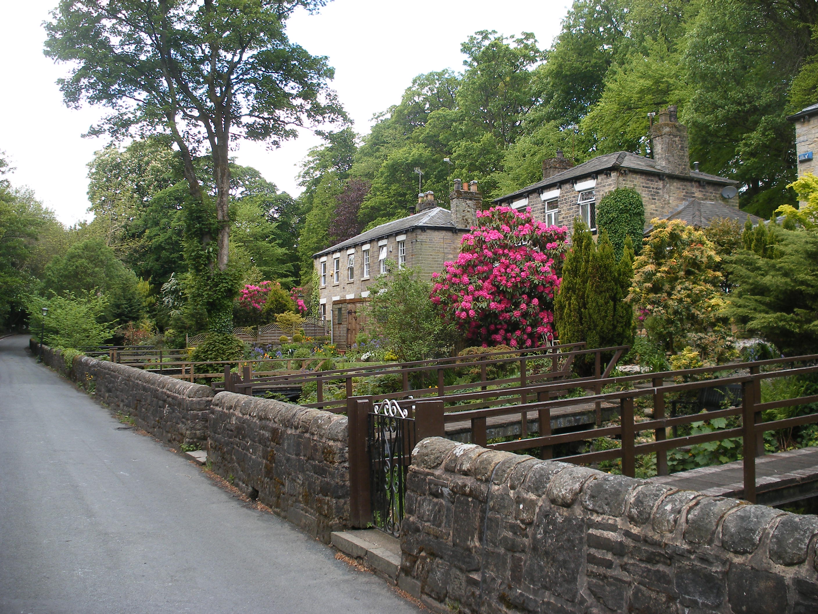
Lomax Wifes Plantation Images

Images are sourced within 2km of 53.61283/-2.4774402 or Grid Reference SD6813. Thanks to Geograph Open Source API. All images are credited.

Gateway to Smithills Hall Smithills Hall is a grade I listed building. The gateposts are probably C19.
Gateway to Smithills Hall
Smithills Hall is a grade I listed building. The gateposts are probably C19.
Formal garden at Smithills Hall To the right is the Victorian extension to the house, and to the left is the chapel which was reconstructed circa 1856 after a fire destroyed the original. The garden is maintained by a volunteer group, the Friends of Smithills Hall.
Formal garden at Smithills Hall
To the right is the Victorian extension to the house, and to the left is the chapel which was reconstructed circa 1856 after a fire destroyed the original. The garden is maintained by a volunteer group, the Friends of Smithills Hall.
Fledgling robin In the grounds of Smithills Hall.
Fledgling robin
In the grounds of Smithills Hall.
Old Colliers Row There are two rows of stone cottages on Colliers Row Road. New Colliers Row stands some metres to the east of this row.
Old Colliers Row
There are two rows of stone cottages on Colliers Row Road. New Colliers Row stands some metres to the east of this row.
Walker Fold Farm The farmhouse and farm buildings have been converted into houses. The buildings in the background are at Higher Tongs - once a farm but now a livery yard.
Walker Fold Farm
The farmhouse and farm buildings have been converted into houses. The buildings in the background are at Higher Tongs - once a farm but now a livery yard.
Tree felling on the Smithills estate Larch trees in the wood were found to be infected by the disease phytophthora ramorum and must be felled by law. Horses rather than machinery are used to take away the felled timber to minimise damage to the environment. Replanting will take place in due course.
Tree felling on the Smithills estate
Larch trees in the wood were found to be infected by the disease phytophthora ramorum and must be felled by law. Horses rather than machinery are used to take away the felled timber to minimise damage to the environment. Replanting will take place in due course.
Lower Tongs Viewed here from Walker Fold, Lower Tongs was once a farm and is now a pine timber supply business.
Lower Tongs
Viewed here from Walker Fold, Lower Tongs was once a farm and is now a pine timber supply business.
Tumbledown wall Beside a somewhat overgrown path on Walker Fold Brow.
Tumbledown wall
Beside a somewhat overgrown path on Walker Fold Brow.
Walker Fold car park Plenty of cars on the facility on a sunny September morning.
Walker Fold car park
Plenty of cars on the facility on a sunny September morning.
A675 leaving Bolton Beside the Wilton Arms
A675 leaving Bolton
Beside the Wilton Arms
Stream off Colliers Row Road The stream drains off Smithills Moor and joins Dean Brook near Barrow Bridge.
Stream off Colliers Row Road
The stream drains off Smithills Moor and joins Dean Brook near Barrow Bridge.
A view from Scout Road Springs reservoir is to the left and the village of Egerton is to the right.
A view from Scout Road
Springs reservoir is to the left and the village of Egerton is to the right.
Path on Horrocks Moor Off Scout Road and near the now disused Horrocks Fold quarry.
Path on Horrocks Moor
Off Scout Road and near the now disused Horrocks Fold quarry.
Walker Fold Road, Bolton
Barrow Bridge chimney A grade II listed structure that once served a now demolished bleaching factory.
Barrow Bridge chimney
A grade II listed structure that once served a now demolished bleaching factory.
Moss Bank Park The trees are sporting their fresh green spring livery.
Moss Bank Park
The trees are sporting their fresh green spring livery.
Moss Bank Park A mature beech tree beginning to leaf in early May.
Moss Bank Park
A mature beech tree beginning to leaf in early May.
Moss Bank Park The children's play area.
Moss Bank Park
The children's play area.
Show me another place!

Lomax Wifes Plantation is located at Grid Ref: SD6813 (Lat: 53.61283, Lng: -2.4774402)

Unitary Authority: Bolton

Police Authority: Greater Manchester

What 3 Words

///honey.sports.rift. Near Bolton, Manchester

Related Wikis

Dean Mills Reservoir

Dean Mills Reservoir is a small water reservoir to the north of the town of Bolton, Greater Manchester located high on the slopes of Winter Hill. The reservoir...

Smithills

Smithills is a mainly residential suburb of Bolton in Greater Manchester, England. It is 3.1 miles (5 km) northwest of Bolton, 14.5 miles (23 km) south...

Barrow Bridge, Bolton

Barrow Bridge is a model village in the north-west outskirts of Bolton in Greater Manchester, England. It was created in the Industrial Revolution but...

Dingle Reservoir

Dingle Reservoir is an artificial, low alkalinity, shallow reservoir near the town of Egerton, Greater Manchester. It is a little under 400 metres from...

Have you been to Lomax Wifes Plantation?

Leave your review of Lomax Wifes Plantation below (or comments, questions and feedback).