Belt Plantation
Wood, Forest in Worcestershire Malvern Hills
England
Belt Plantation

Belt Plantation is a quaint woodland area located in Worcestershire, England. Situated in the heart of the county, it covers an expansive area of picturesque forest and lush greenery. The plantation is known for its beautiful belt of trees that encircles the entire area, giving it its distinctive name.
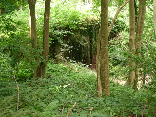
The woodland is a mix of both deciduous and coniferous trees, creating a diverse and enchanting landscape for visitors to explore. Tall oak, beech, and birch trees dominate the area, providing a natural canopy that filters the sunlight and creates a serene and peaceful atmosphere. The forest floor is covered with a dense carpet of ferns, mosses, and wildflowers, adding to the charm and beauty of the plantation.
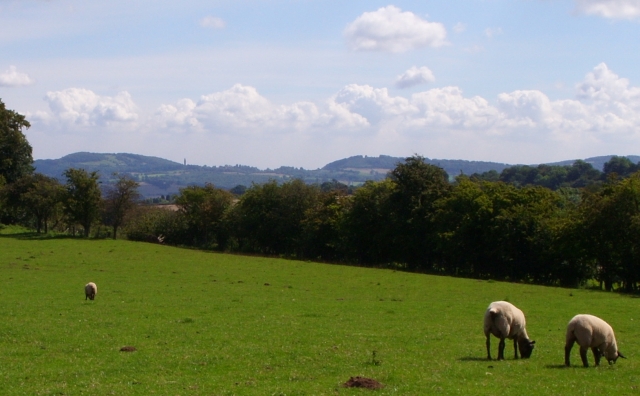
Belt Plantation is a popular destination for nature lovers, hikers, and wildlife enthusiasts. The woodland is home to a variety of animal species, including deer, foxes, and numerous bird species. Visitors can often spot these animals while walking along the well-maintained trails that weave through the plantation.
The plantation is also known for its historical significance. It is believed to have been established in the early 19th century and has since been carefully managed to preserve its natural beauty. The area is dotted with remnants of old stone walls and ruins, adding a touch of mystery and intrigue to the woodland.
Overall, Belt Plantation in Worcestershire is a hidden gem, offering visitors a chance to immerse themselves in the tranquility of nature. With its diverse flora and fauna, well-maintained trails, and historical charm, it is a must-visit destination for anyone seeking a peaceful escape in the heart of England.
If you have any feedback on the listing, please let us know in the comments section below.
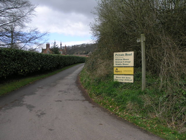
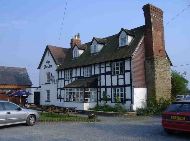
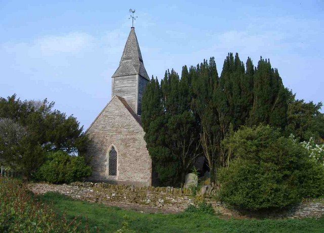
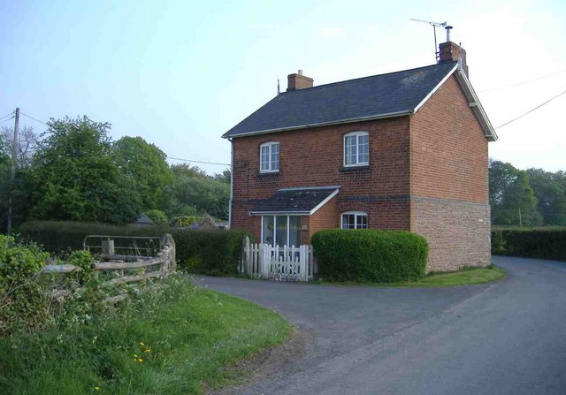
Belt Plantation Images
Images are sourced within 2km of 52.290357/-2.4637618 or Grid Reference SO6865. Thanks to Geograph Open Source API. All images are credited.


Belt Plantation is located at Grid Ref: SO6865 (Lat: 52.290357, Lng: -2.4637618)
Administrative County: Worcestershire
District: Malvern Hills
Police Authority: West Mercia
What 3 Words
///mystified.stance.projects. Near Collington, Herefordshire
Nearby Locations
Related Wikis

Hanley William
Hanley William is a village and former civil parish, now in the parish of Hanley, in the Malvern Hills district, in the county of Worcestershire, England...

Hanley, Worcestershire
Hanley is a civil parish in the district of Malvern Hills in the county of Worcestershire, England. Hanley William and Hanley Child are places within the...

Stanford on Teme
Stanford on Teme is a village and former civil parish, now in the parish of Stanford with Orleton, in the Malvern Hills district, in the county of Worcestershire...
Sapey Common
Sapey Common is a small village in Herefordshire, England, near the border with Worcestershire, 10 km (6.2 mi) north east of Bromyard . Although the area...
Related Videos

MEDIEVAL MILL TURNED FAIRYTALE ENGLISH COTTAGE - Explore This Rural Countryside Cottage
Come with me this week and explore this former medieval mill turned fairytale English countryside cottage. Located in a valley in ...

American Pie Don McLean Acoustic Cover
American Pie - Don Mclean - this is my rough and ready acoustic live cover. The last song of the night, my voice is getting husky, ...
Nearby Amenities
Located within 500m of 52.290357,-2.4637618Have you been to Belt Plantation?
Leave your review of Belt Plantation below (or comments, questions and feedback).