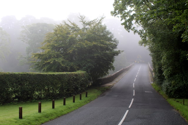
Chaigley Hall Wood

Wood, Forest in Lancashire Ribble Valley

England

Chaigley Hall Wood

Old Wayside Cross south of Old Clitheroe Road Kemple End Cross, or the Cross of St Paulinus, is a wayside cross with old head, shaft and base. Set beside a footpath in a field south of the Old Clitheroe Road in Aighton, Bailey and Chaigley parish. Reference <span class="nowrap"><a title="https://thejournalofantiquities.com/category/the-kemple-end-cross/" rel="nofollow ugc noopener" href="https://thejournalofantiquities.com/category/the-kemple-end-cross/">Link</a><img style="margin-left:2px;" alt="External link" title="External link - shift click to open in new window" src="https://s1.geograph.org.uk/img/external.png" width="10" height="10"/></span>. Grade II Listed <span class="nowrap"><a title="https://historicengland.org.uk/listing/the-list/list-entry/1146900" rel="nofollow ugc noopener" href="https://historicengland.org.uk/listing/the-list/list-entry/1146900">Link</a><img style="margin-left:2px;" alt="External link" title="External link - shift click to open in new window" src="https://s1.geograph.org.uk/img/external.png" width="10" height="10"/></span>. See also <span class="nowrap"><a title="https://www.flickr.com/photos/67668518@N08/9725412982" rel="nofollow ugc noopener" href="https://www.flickr.com/photos/67668518@N08/9725412982">Link</a><img style="margin-left:2px;" alt="External link" title="External link - shift click to open in new window" src="https://s1.geograph.org.uk/img/external.png" width="10" height="10"/></span>.

Milestone Society National ID: LARV_AIG01
Old Wayside Cross south of Old Clitheroe Road Credit: S Lister

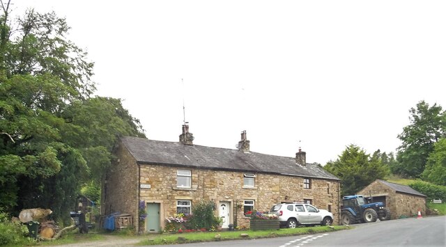
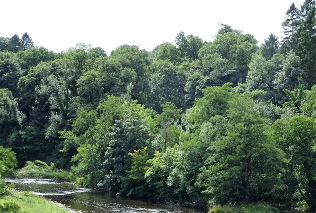
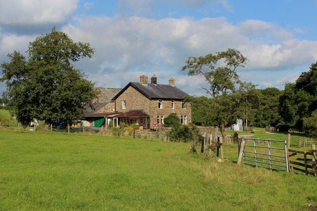
Chaigley Hall Wood is a picturesque woodland located in the county of Lancashire, England. Spanning an area of approximately 100 acres, this ancient woodland is nestled within the heart of the Ribble Valley, offering visitors a tranquil and serene escape from the bustling city life.

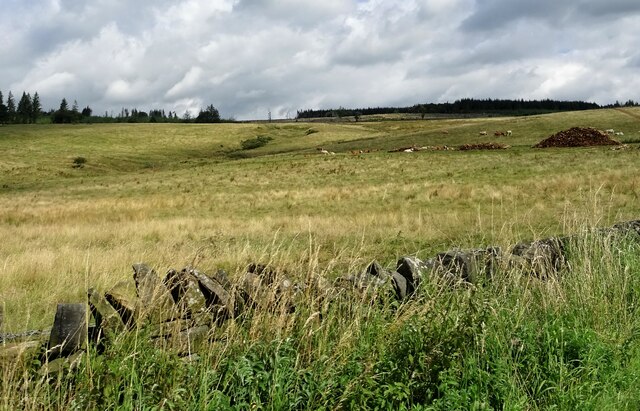
The woodland is rich in biodiversity and is home to a diverse range of flora and fauna. The trees that dominate the landscape include oak, beech, birch, and sycamore, creating a dense canopy that provides shade and shelter to various woodland creatures. Bluebells, wood anemones, and wild garlic carpet the forest floor during spring, creating a stunning display of vibrant colors.

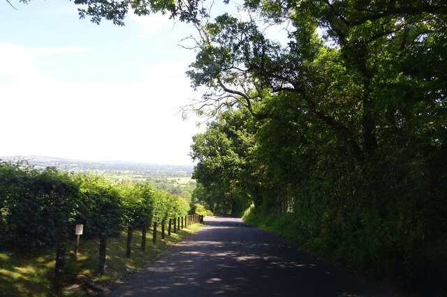
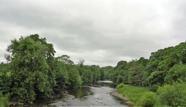
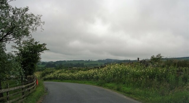
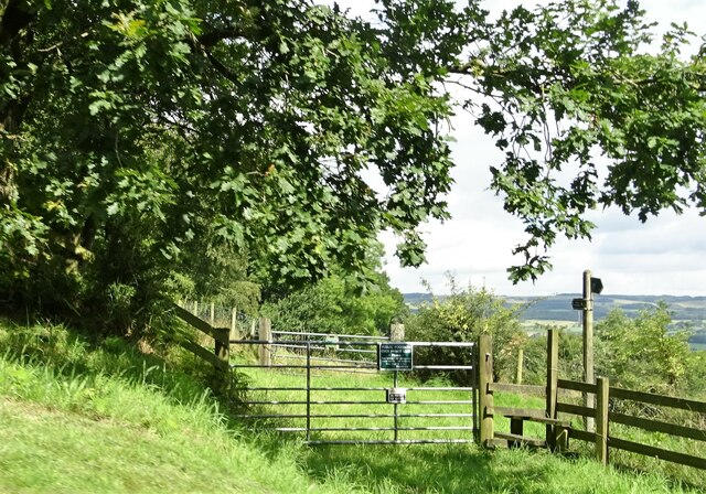
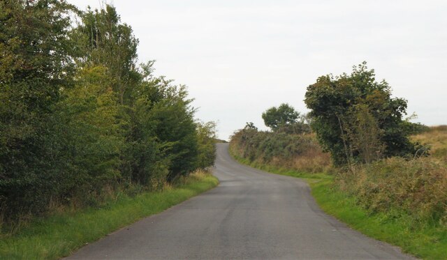
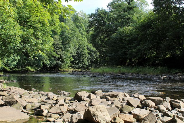
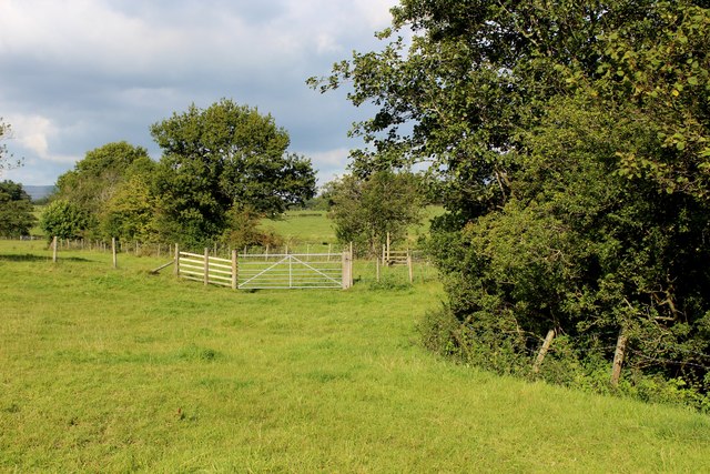
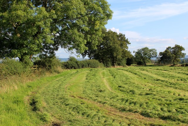
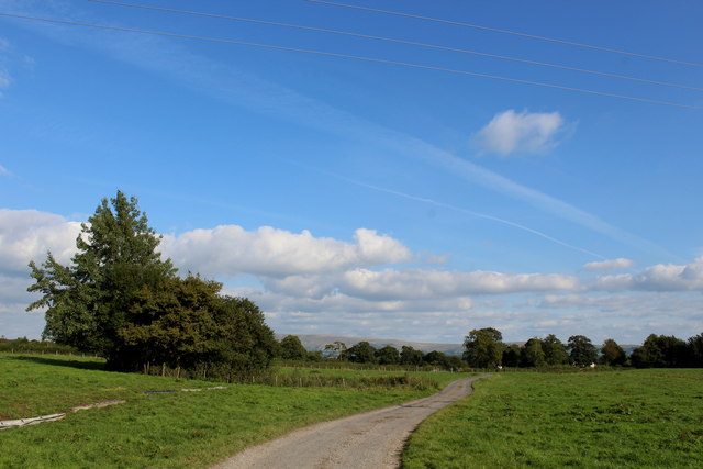
Several well-maintained footpaths wind their way through the woodland, allowing visitors to explore the area at their own pace. These paths are suitable for both leisurely strolls and more challenging hikes. Along the way, visitors may encounter charming streams, small waterfalls, and even a picturesque pond, adding to the beauty of the surroundings.

The woodland is also known for its diverse wildlife. Birdwatchers can spot species such as woodpeckers, owls, and various songbirds, while lucky visitors may catch a glimpse of roe deer, foxes, and badgers. The woodland is a haven for nature enthusiasts and photographers alike, providing ample opportunities to capture the beauty of the natural world.

Chaigley Hall Wood is a popular destination for outdoor activities, including picnicking, nature walks, and wildlife spotting. With its peaceful atmosphere and stunning natural beauty, it is a must-visit location for anyone seeking a connection with nature in Lancashire.

If you have any feedback on the listing, please let us know in the comments section below.

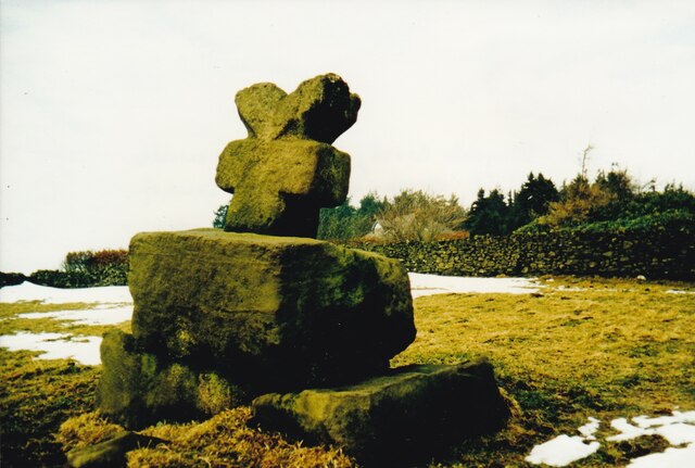
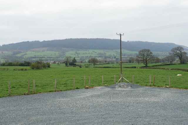
Chaigley Hall Wood Images

Images are sourced within 2km of 53.867872/-2.4811624 or Grid Reference SD6841. Thanks to Geograph Open Source API. All images are credited.

Old Wayside Cross south of Old Clitheroe Road Kemple End Cross, or the Cross of St Paulinus, is a wayside cross with old head, shaft and base. Set beside a footpath in a field south of the Old Clitheroe Road in Aighton, Bailey and Chaigley parish. Reference <span class="nowrap"><a title="https://thejournalofantiquities.com/category/the-kemple-end-cross/" rel="nofollow ugc noopener" href="https://thejournalofantiquities.com/category/the-kemple-end-cross/">Link</a><img style="margin-left:2px;" alt="External link" title="External link - shift click to open in new window" src="https://s1.geograph.org.uk/img/external.png" width="10" height="10"/></span>. Grade II Listed <span class="nowrap"><a title="https://historicengland.org.uk/listing/the-list/list-entry/1146900" rel="nofollow ugc noopener" href="https://historicengland.org.uk/listing/the-list/list-entry/1146900">Link</a><img style="margin-left:2px;" alt="External link" title="External link - shift click to open in new window" src="https://s1.geograph.org.uk/img/external.png" width="10" height="10"/></span>. See also <span class="nowrap"><a title="https://www.flickr.com/photos/67668518@N08/9725412982" rel="nofollow ugc noopener" href="https://www.flickr.com/photos/67668518@N08/9725412982">Link</a><img style="margin-left:2px;" alt="External link" title="External link - shift click to open in new window" src="https://s1.geograph.org.uk/img/external.png" width="10" height="10"/></span>.

Milestone Society National ID: LARV_AIG01
Old Wayside Cross south of Old Clitheroe Road
Kemple End Cross, or the Cross of St Paulinus, is a wayside cross with old head, shaft and base. Set beside a footpath in a field south of the Old Clitheroe Road in Aighton, Bailey and Chaigley parish. Reference LinkExternal link. Grade II Listed LinkExternal link. See also LinkExternal link. Milestone Society National ID: LARV_AIG01
Farmland near Bashall Eaves Looking towards Longridge Fell from the car park of the Red Pump Inn, some of which can be seen in the foreground.
Farmland near Bashall Eaves
Looking towards Longridge Fell from the car park of the Red Pump Inn, some of which can be seen in the foreground.
Birdy Brow Approaching Kemple End.
Birdy Brow
Approaching Kemple End.
River Hodder From Higher Hodder Bridge.
River Hodder
From Higher Hodder Bridge.
Higher Hodder Bridge Cottages On the boundary of Chaigley.
Higher Hodder Bridge Cottages
On the boundary of Chaigley.
Birdy Brow A bank of wild flowers near Chilsey Green Farm.
Birdy Brow
A bank of wild flowers near Chilsey Green Farm.
Cattle at pasture Near Chilsey Green.
Cattle at pasture
Near Chilsey Green.
Public footpath The path crosses private land and walkers are requested to keep strictly to the path.
Public footpath
The path crosses private land and walkers are requested to keep strictly to the path.
River Hodder From Higher Hodder Bridge.
River Hodder
From Higher Hodder Bridge.
Old Clitheroe Road Near Chaigley.
Old Clitheroe Road
Near Chaigley.
Moss Barn Diverging roads at Moss Barn.
Moss Barn
Diverging roads at Moss Barn.
River Hodder in Paper Mill Wood The river in a particularly pleasant setting - but the footpath I was following completely disappeared and progress through the woods is almost impossible due to the extreme steep sided nature of the terrain.
No footpath signs were in evidence, although I found a battered stile which was beyond useless.
River Hodder in Paper Mill Wood
The river in a particularly pleasant setting - but the footpath I was following completely disappeared and progress through the woods is almost impossible due to the extreme steep sided nature of the terrain. No footpath signs were in evidence, although I found a battered stile which was beyond useless.
Buck Thorn Marked on the definintive map a Buck Thorn.  A faded sign on the premises, however, indicated this establishment as Thornbuck House
Buck Thorn
Marked on the definintive map a Buck Thorn. A faded sign on the premises, however, indicated this establishment as Thornbuck House
Beside Agden Wood Country scene between Aigden and Horse Hey Farms
Beside Agden Wood
Country scene between Aigden and Horse Hey Farms
Field at Lower Tittherington A public footpath follows the field boundary, en route to reach the access lane from Horse Hey Farm
Field at Lower Tittherington
A public footpath follows the field boundary, en route to reach the access lane from Horse Hey Farm
Access Lane from Horse Hey Farm Leading to the Queen's Highway, and adopted by a public footpath from Horse Hey Farm.
Access Lane from Horse Hey Farm
Leading to the Queen's Highway, and adopted by a public footpath from Horse Hey Farm.
Morning Mist over the River Hodder The river as seen from the Higher Hodder Bridge, flowing downstream towards the Ribble.
Morning Mist over the River Hodder
The river as seen from the Higher Hodder Bridge, flowing downstream towards the Ribble.
Mist over the Higher Hodder Bridge Early morning mist seeps off the river and over the bridge.
Mist over the Higher Hodder Bridge
Early morning mist seeps off the river and over the bridge.
Show me another place!

Chaigley Hall Wood is located at Grid Ref: SD6841 (Lat: 53.867872, Lng: -2.4811624)

Administrative County: Lancashire

District: Ribble Valley

Police Authority: Lancashire

What 3 Words

///scribbled.frocks.appendix. Near Waddington, Lancashire

Related Wikis

Bashall Eaves

Bashall Eaves is a village and civil parish in the Ribble Valley district of Lancashire, England, about four miles (6 km) west of Clitheroe. The placename...

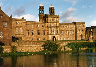
Libraries and collections of Stonyhurst College

The Jesuit origins of Stonyhurst College in Lancashire, England, have enabled it to amass a large collection of books, a number of which concern recusant...

Stonyhurst Saint Mary's Hall

Stonyhurst St Mary's Hall (commonly known as S.M.H.) is the preparatory school to Stonyhurst College. It is an independent co-educational Catholic school...

Stonyhurst College

Stonyhurst College is a co-educational Roman Catholic independent school, adhering to the Jesuit tradition, on the Stonyhurst Estate, Lancashire, England...

Stonyhurst

Stonyhurst is the name of a 1,000-acre (4 km2) rural estate owned by the Society of Jesus near Clitheroe in Lancashire, England. It is centred on Stonyhurst...

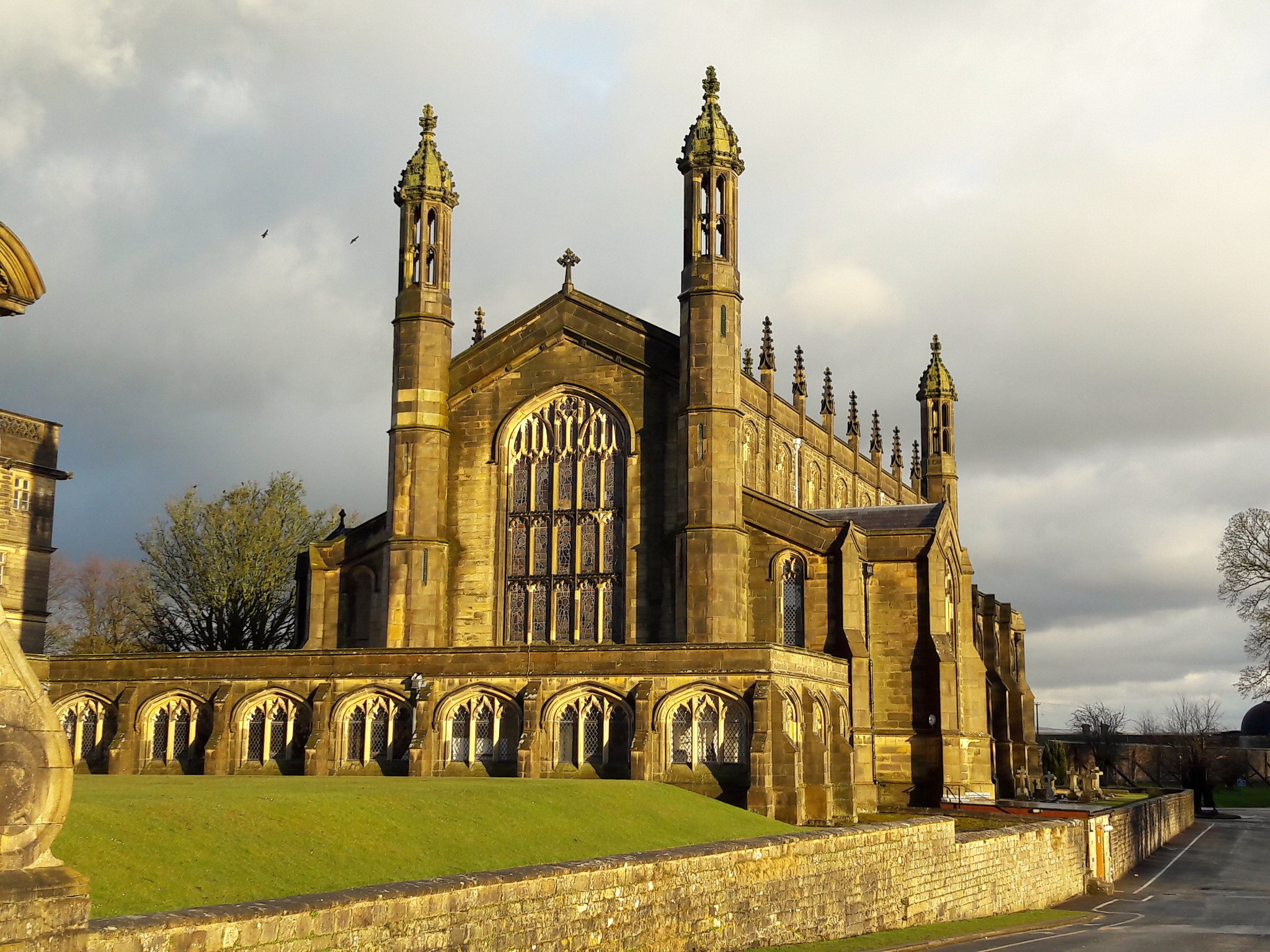
St Peter's Church, Stonyhurst

St Peter's Church is a Roman Catholic Parish Church in Stonyhurst. It is the parish church for Hurst Green, Lancashire and a chapel for Stonyhurst College...

Longridge Fell

Longridge Fell is the most southerly fell in England, near the town of Longridge, Lancashire. It lies at the southern end of the Forest of Bowland Area...

Aighton, Bailey and Chaigley

Aighton, Bailey and Chaigley is a civil parish in the Borough of Ribble Valley in Lancashire, England, just west of Clitheroe. The population of the civil...

Related Videos

Tolkien Trail - Walking To Stonyhurst College

Me and my dad went to Tolkien Trail to see Stonyhurst College, my dad has never been to Stonyhurst College before and I have.

Longridge Fell. Enchanted dark forest. Blueberry / bilberry picking.

Longridge Fell, Lancashire, England 28 July 2022, Thursday.

Winter running on Longridge Fell

Winter fell running on my local Longridge Fell. Looking magical in December. Sunday, 11 December 2022.

Longridge Fell

Todays womble was up on to Longridge Fell. It rained A LOT!. A cracking little walk through solid logging tracks and muddy fell ...

Nearby Amenities

Located within 500m of 53.867872,-2.4811624
The data included in this document is from www.openstreetmap.org. The data is made available under ODbL.

Have you been to Chaigley Hall Wood?

Leave your review of Chaigley Hall Wood below (or comments, questions and feedback).