Baynham's Coppice

Wood, Forest in Herefordshire

England

Baynham's Coppice

Bridge over the River Leadon Bridge over the River Leadon on the B4214, north of Ledbury.
Bridge over the River Leadon Credit: Philip Halling

Baynham's Coppice is a picturesque wood located in the county of Herefordshire, England. Spanning over a vast area, it is a natural haven for nature enthusiasts and those seeking tranquility in the heart of the countryside.

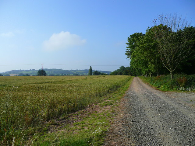
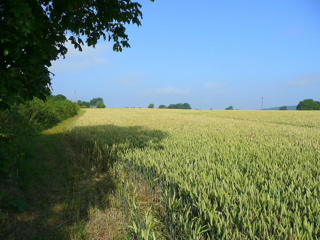
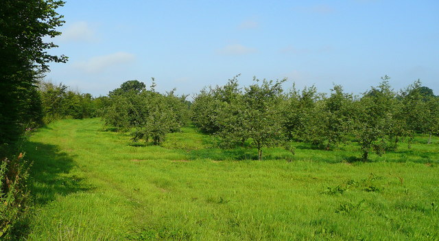
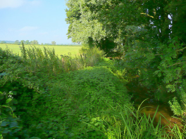
The coppice is characterized by its diverse and dense vegetation, with a rich variety of tree species including oak, beech, ash, and hazel. These towering trees provide a sheltered canopy that allows sunlight to filter through, creating a dappled effect on the forest floor. The woodland is also abundant with vibrant wildflowers, ferns, and mosses, adding to its enchanting beauty.

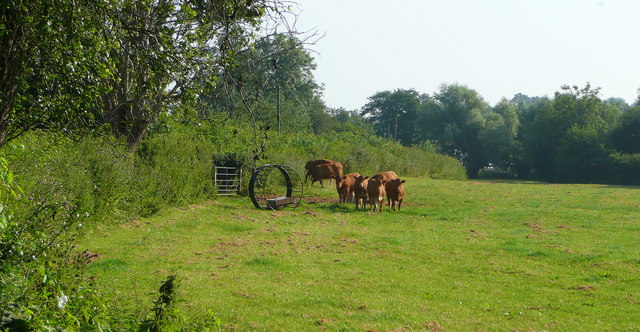
Numerous walking trails wind their way through Baynham's Coppice, allowing visitors to explore the wood at their own pace. These paths lead to hidden clearings, babbling brooks, and small ponds, providing opportunities for peaceful reflection and wildlife observation. The wood is home to a diverse range of fauna, including deer, rabbits, squirrels, and a variety of bird species. Lucky visitors may even catch a glimpse of the elusive red fox or the shy badger.

Baynham's Coppice is not only a natural treasure but also an important ecosystem. The wood has been carefully managed for centuries, with selective tree cutting and sustainable practices ensuring the preservation of its biodiversity. Local conservation efforts have also resulted in the restoration of ancient woodland, further enhancing its ecological value.

Whether it is for a leisurely stroll, birdwatching, or simply enjoying the tranquility of nature, Baynham's Coppice offers a delightful escape into the heart of Herefordshire's natural beauty.

If you have any feedback on the listing, please let us know in the comments section below.

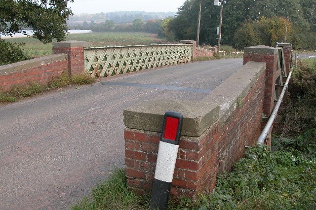
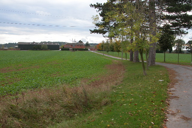
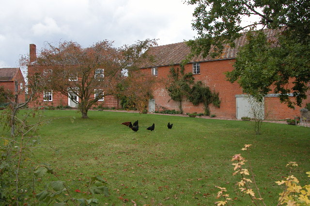
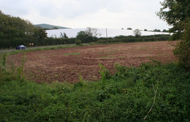
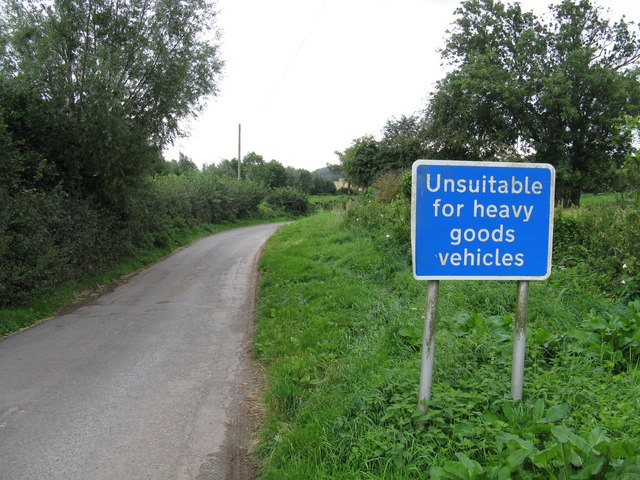
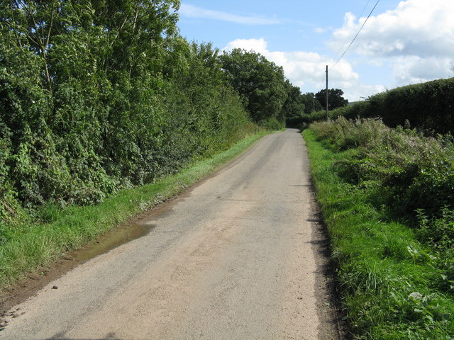
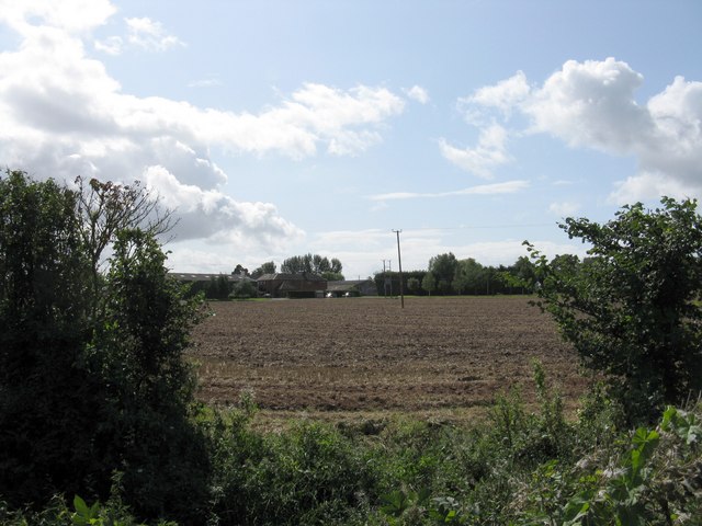
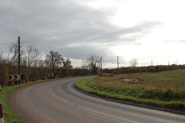
Baynham's Coppice Images

Images are sourced within 2km of 52.048898/-2.4618399 or Grid Reference SO6839. Thanks to Geograph Open Source API. All images are credited.

Bridge over the River Leadon Bridge over the River Leadon on the B4214, north of Ledbury.
Bridge over the River Leadon
Bridge over the River Leadon on the B4214, north of Ledbury.
Driveway to Marley Hall
Baregains, near Munsley Red-brick farm building at Baregains Farm near Munsley.
Baregains, near Munsley
Red-brick farm building at Baregains Farm near Munsley.
Polytunnels,  North of Ledbury Taken from the <a href="https://www.geograph.org.uk/photo/66558">SO6940 : Bridge over the River Leadon</a>.
Polytunnels, North of Ledbury
Track and bridleway to Quatsford In the distance are the Wall Hills to the west of Ledbury.
Track and bridleway to Quatsford
In the distance are the Wall Hills to the west of Ledbury.
Wheat field, Munsley Green Looking west parallel to the lane.
Wheat field, Munsley Green
Looking west parallel to the lane.
Orchards west of Jug's Green Older apples here; probably eating, not cider, judging by the spacing.
Orchards west of Jug's Green
Older apples here; probably eating, not cider, judging by the spacing.
Buildings at Jug's Green Look to have been converted to offices; currently to let.
Buildings at Jug's Green
Look to have been converted to offices; currently to let.
Young cattle at Storesbrook In pasture to the east of the Plaistow Lane.
Young cattle at Storesbrook
In pasture to the east of the Plaistow Lane.
Stores Brook This small brook flows east from Munsley to meet the Leadon and then flow south-east to the Severn near Gloucester.
Stores Brook
This small brook flows east from Munsley to meet the Leadon and then flow south-east to the Severn near Gloucester.
Tight curve on the B4220 The Bromyard-Ledbury road flicks from one side of the River Leadon to the other by means of a narrow bridge and two sharp curves.  Taken from the junction on the western curve, polytunnels are visible in the distance - a subject of some local controversy.
Tight curve on the B4220
The Bromyard-Ledbury road flicks from one side of the River Leadon to the other by means of a narrow bridge and two sharp curves. Taken from the junction on the western curve, polytunnels are visible in the distance - a subject of some local controversy.
Hillside by the B4220
Unsuitable for HGVs A clear message at the entry to the lane to Plaistow Farm off the B4220 dissuades lorries from taking a short cut.
Unsuitable for HGVs
A clear message at the entry to the lane to Plaistow Farm off the B4220 dissuades lorries from taking a short cut.
Country lane near Marley Hall
Marley Hall's fields
Orchard near Marley Hall
Soggy field near Paunceford Court
Polytunnels near the road
Show me another place!

Baynham's Coppice is located at Grid Ref: SO6839 (Lat: 52.048898, Lng: -2.4618399)

Unitary Authority: County of Herefordshire

Police Authority: West Mercia

What 3 Words

///shine.canoe.cheered. Near Ledbury, Herefordshire

Nearby Locations

Baynham's Coppice

Related Wikis

Herefordshire and Gloucestershire Canal

The Herefordshire and Gloucestershire Canal (sometimes known as the Hereford and Gloucester Canal) is a canal in the west of England, which ran from Hereford...

Hereford Road Skew Bridge

Hereford Road Skew Bridge is a disused railway bridge in Ledbury, Herefordshire. Built in 1881 to carry the Ledbury and Gloucester Railway across the Hereford...

Pixley, Herefordshire

Pixley is a village and civil parish in Herefordshire, England. The population of the civil parish at the 2011 census was 258. The village consists of...

Ledbury Signal Box

Ledbury Signal Box is a typical Great Western Railway traditional lever frame signal box which remains in daily use at Ledbury Station, Herefordshire,...

Ledbury railway station

Ledbury railway station is located on the outskirts of the town of Ledbury, on the Worcester to Hereford line in the English Midlands. It has regular services...

Ledbury Town Halt railway station

Ledbury Town Halt was one of two stations serving the town of Ledbury. It was situated at the junction of Bridge Street and Bye Street, just to the north...

Munsley

Munsley is a village and civil parish 9 miles (14 km) east of Hereford, in the county of Herefordshire, England. In 2001 the parish had a population of...

Ledbury Tunnel

Ledbury Tunnel is a single-track railway tunnel immediately to the east of Ledbury railway station on the Cotswold Line, in Herefordshire, England. The...

Nearby Amenities

Located within 500m of 52.048898,-2.4618399
Baynham's Farm
Naptan AtcoCode: 2090A028648
Naptan Bearing: NE
Naptan BusStopType: CUS
Naptan CommonName: Baynham's Farm
Naptan Indicator: opp
Naptan Landmark: N/K
Naptan NaptanCode: heratapd
Naptan Street: Hereford Road
Naptan Verified: no
Source: naptan_import
Lat/Long: 52.0505537/-2.4590722
Baynham's Farm
Naptan AtcoCode: 2090A028650
Naptan Bearing: SW
Naptan BusStopType: CUS
Naptan CommonName: Baynham's Farm
Naptan Indicator: adj
Naptan Landmark: N/K
Naptan NaptanCode: heratapg
Naptan Street: Hereford Road
Naptan Verified: no
Source: naptan_import
Lat/Long: 52.0503918/-2.4590851
Power: pole
Lat/Long: 52.0503729/-2.4559855
Power: pole
Lat/Long: 52.0484307/-2.4604827
Power: pole
Lat/Long: 52.047799/-2.4658762
Power: pole
Lat/Long: 52.0478627/-2.4649035
Power: pole
Lat/Long: 52.0480294/-2.4623932
Power: pole
Lat/Long: 52.0489464/-2.4581704
Power: pole
Lat/Long: 52.0495837/-2.4571691
Power: pole
Lat/Long: 52.0476455/-2.4678287
Power: pole
Lat/Long: 52.0481437/-2.46822
Power: pole
Lat/Long: 52.0483887/-2.4672158
Power: pole
Lat/Long: 52.0487675/-2.4656933
Power: pole
Lat/Long: 52.0490351/-2.4645448
Power: pole
Lat/Long: 52.0491848/-2.4640259
Power: pole
Lat/Long: 52.0494326/-2.4631727
Power: pole
Lat/Long: 52.0496451/-2.4624226
Power: pole
Lat/Long: 52.048599/-2.4663708
Power: pole
Lat/Long: 52.0488569/-2.4666349
Power: pole
Lat/Long: 52.0500402/-2.4609818
Power: pole
Lat/Long: 52.0504749/-2.4594408
Power: pole
Lat/Long: 52.0506893/-2.4587005
Power: pole
Lat/Long: 52.0510274/-2.4574104
Baynham's Farm Hops
Power: pole
Transformer: distribution
Voltage Primary: 11000
Lat/Long: 52.0515355/-2.4567345
Summer Pole
Power: pole
Transformer: distribution
Voltage Primary: 11000
Lat/Long: 52.0482101/-2.4627922
Power: pole
Lat/Long: 52.0486027/-2.4632777
Power: pole
Lat/Long: 52.0481796/-2.4550956
Location Transition: yes
Power: pole
Lat/Long: 52.0489569/-2.4560042
Baynham's Farm
Location Transition: yes
Power: pole
Lat/Long: 52.0504679/-2.4584142
The data included in this document is from www.openstreetmap.org. The data is made available under ODbL.

Have you been to Baynham's Coppice?

Leave your review of Baynham's Coppice below (or comments, questions and feedback).