Cann Brake

Wood, Forest in Gloucestershire

England

Cann Brake

Wick: A420 High Street and the Carpenters Arms This is taken looking down towards Boyd Bridge where the road goes over the River Boyd. The Carpenters Arms has an unusual triple roof arrangement.
Wick: A420 High Street and the Carpenters Arms Credit: Nigel Cox

Cann Brake is a small woodland area located in Gloucestershire, England. Situated within the Forest of Dean, it is a popular destination for nature enthusiasts and those seeking a peaceful retreat. The woodland is characterized by its dense canopy of trees, which primarily consists of oak, beech, and ash species.

Covering an area of approximately 50 hectares, Cann Brake is home to a diverse range of flora and fauna. The forest floor is adorned with an array of wildflowers, including bluebells and primroses, creating a vibrant and colorful landscape during the spring months. Various ferns and mosses can also be found, adding to the overall biodiversity of the area.

The woodland provides a habitat for a variety of wildlife species. Visitors may come across roe deer, badgers, and foxes, as well as a wide range of bird species, such as woodpeckers, nuthatches, and tawny owls. Additionally, the nearby Cannop Ponds attract numerous waterfowl, including ducks and herons.

Cann Brake offers several walking trails and footpaths, allowing visitors to explore the woodland at their own pace. The Forest of Dean is known for its extensive network of trails, providing opportunities for both leisurely strolls and more challenging hikes. The tranquil atmosphere of Cann Brake, combined with its natural beauty, makes it a popular spot for picnics, photography, and simply enjoying the serenity of the forest.

If you have any feedback on the listing, please let us know in the comments section below.

Cann Brake Images

Images are sourced within 2km of 51.449175/-2.4560194 or Grid Reference ST6872. Thanks to Geograph Open Source API. All images are credited.

Wick: A420 High Street and the Carpenters Arms This is taken looking down towards Boyd Bridge where the road goes over the River Boyd. The Carpenters Arms has an unusual triple roof arrangement.
Wick: A420 High Street and the Carpenters Arms
This is taken looking down towards Boyd Bridge where the road goes over the River Boyd. The Carpenters Arms has an unusual triple roof arrangement.
Carpenters Arms, Wick The Carpenters Arms in High Street Wick from the bridge over the River Boyd.
Carpenters Arms, Wick
The Carpenters Arms in High Street Wick from the bridge over the River Boyd.
The Carpenters Arms
The Carpenters Arms
Parish Church at  Wick The parish church of St. Bartholomew at Wick, on the north side of the A420.
Parish Church at Wick
The parish church of St. Bartholomew at Wick, on the north side of the A420.
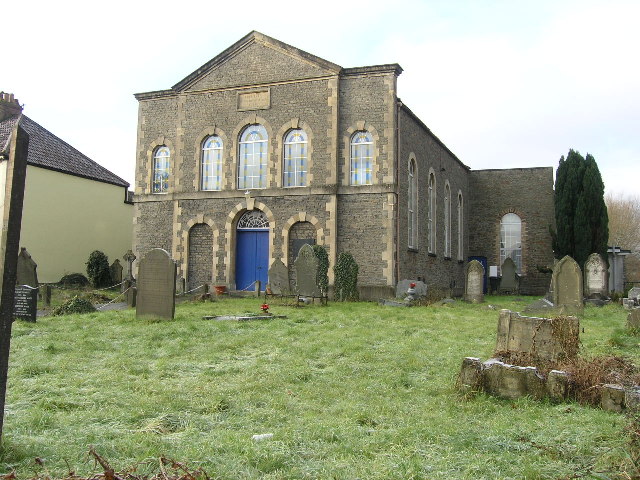
Warmley, South Gloucestershire, Ebeneezer Free Methodist Chapel Datestone 1858.
Warmley, South Gloucestershire, Ebeneezer Free Methodist Chapel
Datestone 1858.
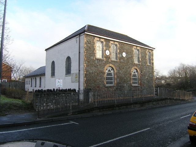
Warmley. South Gloucestershire, Independent Methodist Church The rock-faced frontage to the mainroad could mean a house but the side windows and the later extension to the rear gives the game away (apart from the signs that is too!)
Warmley. South Gloucestershire, Independent Methodist Church
The rock-faced frontage to the mainroad could mean a house but the side windows and the later extension to the rear gives the game away (apart from the signs that is too!)
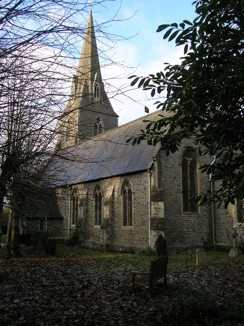
Warmley, South Gloucestershire, St Barnabas Parish Church Built 1849-50, this church is really only photogenic in the winter as the large number of mature trees in the churchyard hide much of it from view when in leaf!
Warmley, South Gloucestershire, St Barnabas Parish Church
Built 1849-50, this church is really only photogenic in the winter as the large number of mature trees in the churchyard hide much of it from view when in leaf!
Bridgeyate, South Gloucestershire, Chapel and Pub Across the common are two odd neighbours. The White Harte pub dates from the early C18, its teetotal neighbour is the Ebenezer Methodist Chapel of 1810
Bridgeyate, South Gloucestershire, Chapel and Pub
Across the common are two odd neighbours. The White Harte pub dates from the early C18, its teetotal neighbour is the Ebenezer Methodist Chapel of 1810
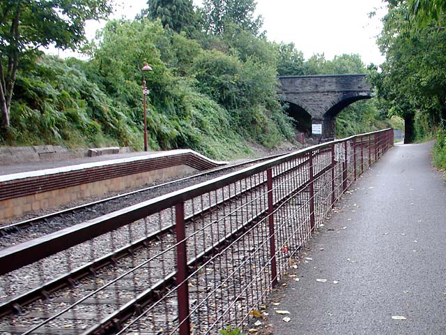
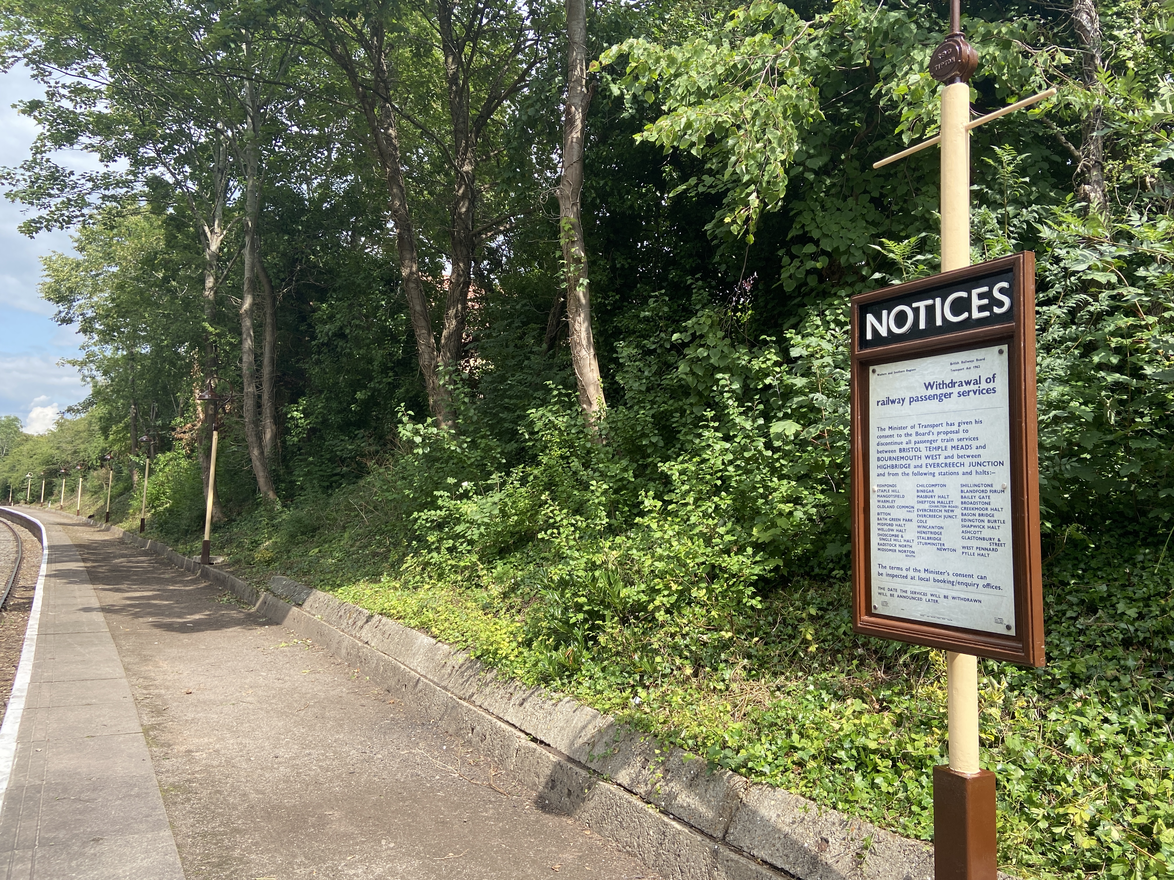
Oldland Common Station Now used by the Avon Valley Railway - this is the end of the line.
Oldland Common Station
Now used by the Avon Valley Railway - this is the end of the line.
Footbridge over Folly Brook
Retaining walls for the churchyard of St Anne's
Remains of a windpump Shown on my Landranger map.
Remains of a windpump
Shown on my Landranger map.
Gatehouse of Blue Lodge
Boyd Farm No longer a working farm.
Boyd Farm
No longer a working farm.
The White House It's under a very grey sky.
The White House
It's under a very grey sky.
Transmitter Not as impressive as the symbol on the OS map might lead you to believe.
Transmitter
Not as impressive as the symbol on the OS map might lead you to believe.
Fifteen Acre Farm
Fifteen Acre Farm
Inquisitive livestock
Show me another place!

Cann Brake is located at Grid Ref: ST6872 (Lat: 51.449175, Lng: -2.4560194)

Unitary Authority: South Gloucestershire

Police Authority: Avon and Somerset

What 3 Words

///breath.dawn.novel. Near Wick, Gloucestershire

Nearby Locations

Cann Brake

Related Wikis

Nearby Amenities

Located within 500m of 51.449175,-2.4560194
North Common
Place: village
Wikidata: Q11792976
Wikipedia: en:North Common, Gloucestershire
Lat/Long: 51.4500959/-2.4614951
Power: tower
Source: yahoo
Lat/Long: 51.447568/-2.459871
Barrier: stile
Lat/Long: 51.4478217/-2.4577799
Power: tower
Source: yahoo
Lat/Long: 51.4507165/-2.4591133
Barrier: stile
Lat/Long: 51.452972/-2.4590072
Barrier: stile
Lat/Long: 51.4524357/-2.4566527
Barrier: stile
Lat/Long: 51.4524154/-2.4565142
Barrier: stile
Lat/Long: 51.4516133/-2.4556688
Barrier: kissing_gate
Lat/Long: 51.4518825/-2.4569531
Barrier: stile
Lat/Long: 51.4517385/-2.4564636
Power: pole
Lat/Long: 51.4465523/-2.4609876
Power: pole
Lat/Long: 51.4466219/-2.4610675
Power: pole
Lat/Long: 51.4468818/-2.4598495
Power: pole
Lat/Long: 51.4469139/-2.4601087
Power: pole
Lat/Long: 51.4475936/-2.4594691
Power: pole
Lat/Long: 51.4476335/-2.4592031
Power: pole
Lat/Long: 51.4485311/-2.4584293
Power: pole
Lat/Long: 51.4485568/-2.4585959
Power: pole
Lat/Long: 51.4495128/-2.4576169
Power: pole
Lat/Long: 51.4495605/-2.4577444
Power: pole
Lat/Long: 51.4506335/-2.4560554
Power: pole
Lat/Long: 51.4506362/-2.4562084
Power: pole
Lat/Long: 51.4515207/-2.4548217
Power: pole
Lat/Long: 51.45159/-2.4549848
Power: pole
Lat/Long: 51.4519705/-2.454398
Power: pole
Lat/Long: 51.4524543/-2.453577
Power: pole
Lat/Long: 51.4524852/-2.4536791
Power: pole
Lat/Long: 51.4530498/-2.4527481
Power: pole
Lat/Long: 51.4531295/-2.4528132
Power: pole
Lat/Long: 51.4455447/-2.4599813
Power: pole
Lat/Long: 51.4460621/-2.4605043
Power: pole
Lat/Long: 51.4463304/-2.4607444
Barrier: stile
Stile: stepover
Lat/Long: 51.4511717/-2.4541865
Power: pole
Lat/Long: 51.451727/-2.4545578
The data included in this document is from www.openstreetmap.org. The data is made available under ODbL.

Have you been to Cann Brake?

Leave your review of Cann Brake below (or comments, questions and feedback).