Ardd-lin
Settlement in Montgomeryshire
Wales
Ardd-lin
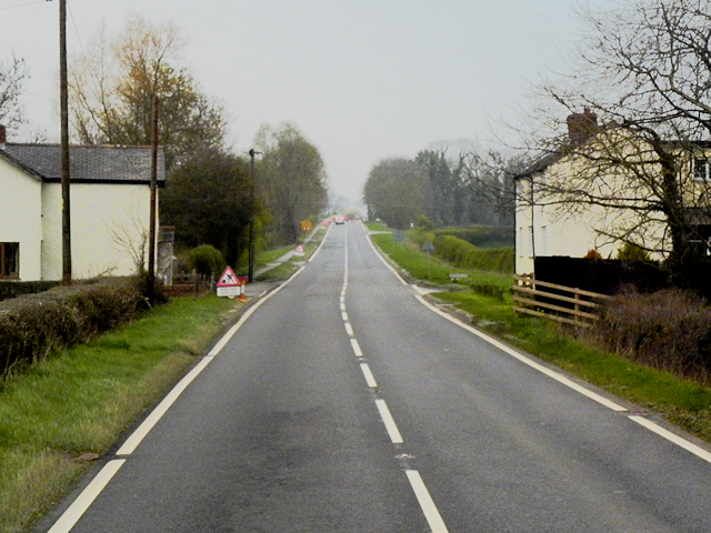
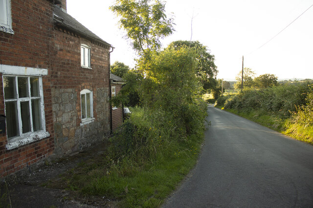
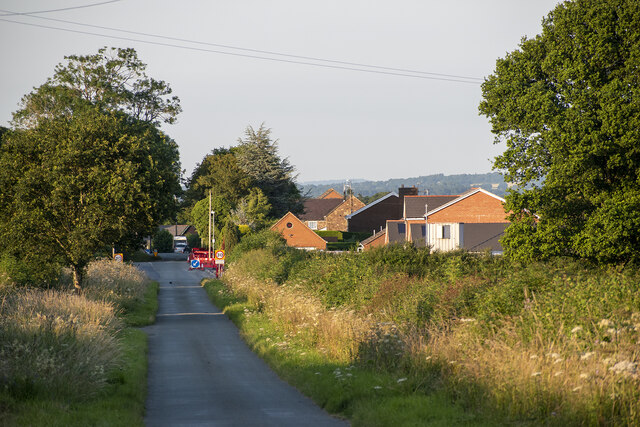
Ardd-lin is a small village located in the county of Montgomeryshire, Wales. Situated in the central part of the country, it lies approximately 8 miles south of the town of Welshpool. The village is surrounded by picturesque rolling hills and is known for its stunning rural beauty.
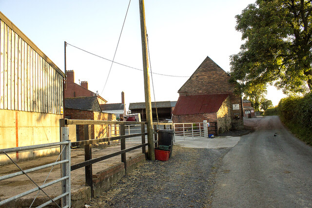
Ardd-lin is a close-knit community with a population of around 200 residents. The village has a peaceful and tranquil atmosphere, making it an ideal place for those seeking a quiet and idyllic countryside lifestyle. The local economy primarily revolves around agriculture and farming, which has been a traditional way of life in the area for centuries.
The village itself features a small number of amenities, including a local pub, a village hall, and a primary school. There are also several walking trails in the vicinity, allowing residents and visitors to explore the breathtaking natural surroundings.
Ardd-lin's close proximity to the larger town of Welshpool provides residents with access to a wider range of services, such as supermarkets, healthcare facilities, and secondary schools. The village is well-connected to the surrounding areas through road networks, with regular bus services linking it to other nearby towns and villages.
Overall, Ardd-lin offers a peaceful and rural lifestyle, perfect for those seeking a close-knit community in the heart of the Welsh countryside. Its stunning natural beauty and friendly atmosphere make it an attractive place to live or visit for nature enthusiasts and those looking to escape the hustle and bustle of city life.
If you have any feedback on the listing, please let us know in the comments section below.
Ardd-lin Images
Images are sourced within 2km of 52.733954/-3.103317 or Grid Reference SJ2515. Thanks to Geograph Open Source API. All images are credited.


Ardd-lin is located at Grid Ref: SJ2515 (Lat: 52.733954, Lng: -3.103317)
Unitary Authority: Powys
Police Authority: Dyfed Powys
Also known as: Arddleen
What 3 Words
///little.fragments.firelight. Near Four Crosses, Powys
Related Wikis

Arddlin
Arddlin (Welsh: Arddlîn) or Arddleen is a village in Powys, central Wales. It lies about 5 miles north of Welshpool, in the community of Llandrinio. It...
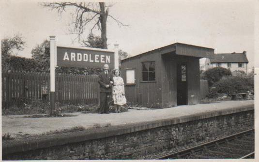
Arddleen railway station
Arddleen railway station served the village of Arddlin in Powys, Wales, sited on the former Cambrian Railways between Oswestry and Welshpool. Served by...

Holy Trinity Church, Penrhos
Holy Trinity Church is a church in the valley of Penrhos, Powys, Wales. The present church was built in 1845 to a design by Sydney Smirke, as a replacement...
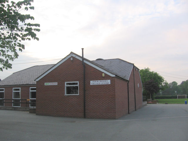
Four Crosses, Llandysilio
Four Crosses (Welsh: Llandysilio) is a village in Montgomeryshire in northern Powys, mid Wales, close to the border with Shropshire. It is in the community...
Nearby Amenities
Located within 500m of 52.733954,-3.103317Have you been to Ardd-lin?
Leave your review of Ardd-lin below (or comments, questions and feedback).