Hope Wood

Wood, Forest in Gloucestershire Forest of Dean

England

Hope Wood

Jubilee Road, Mitcheldean Looking north towards Plump Hill.
Jubilee Road, Mitcheldean Credit: Jonathan Billinger

Hope Wood is a picturesque woodland located in Gloucestershire, England. Situated within the larger Forest of Dean, it covers an area of approximately 100 acres and is known for its natural beauty and diverse wildlife.

The woodland is predominantly made up of deciduous trees such as oak, beech, and birch, which create a vibrant and colorful landscape throughout the year. These trees provide a rich habitat for a variety of bird species, including woodpeckers, thrushes, and owls, making it a popular destination for birdwatchers.

Hope Wood offers several walking trails and paths that wind through the forest, allowing visitors to explore its tranquil surroundings. These trails provide opportunities for nature enthusiasts to observe native flora and fauna, including wildflowers, ferns, and deer.

The wood has a long history, dating back several centuries. It was once an important source of timber for the local community, and remnants of old charcoal platforms can still be found within the woodland. Today, the wood is managed by local authorities to preserve its natural heritage and promote sustainable forestry practices.

In addition to its natural beauty, Hope Wood also offers recreational activities such as picnicking and camping. Visitors can enjoy a peaceful day surrounded by nature or spend a night under the stars in designated camping areas.

Overall, Hope Wood is a charming and tranquil woodland that offers a haven for nature lovers and outdoor enthusiasts alike. Its rich biodiversity and serene atmosphere make it a must-visit destination for those seeking a connection with the natural world.

If you have any feedback on the listing, please let us know in the comments section below.
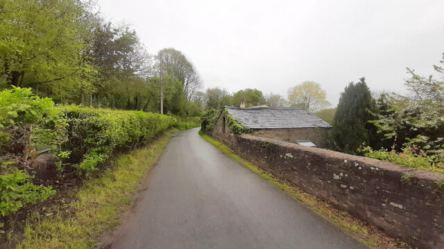
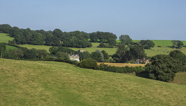
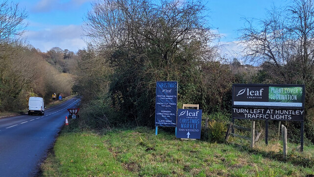
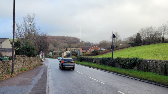
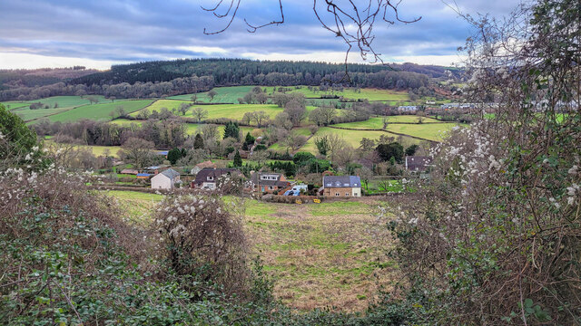
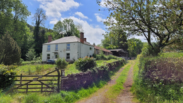
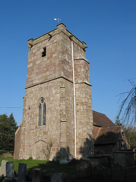
Hope Wood Images

Images are sourced within 2km of 51.856465/-2.462407 or Grid Reference SO6817. Thanks to Geograph Open Source API. All images are credited.

Jubilee Road, Mitcheldean Looking north towards Plump Hill.
Jubilee Road, Mitcheldean
Looking north towards Plump Hill.
View towards Abenhall Looking east from Jubilee Road with the tower of Abenhall church visible in the late afternoon sunshine.
View towards Abenhall
Looking east from Jubilee Road with the tower of Abenhall church visible in the late afternoon sunshine.
A4136 at Longhope Seasonal signage in the run up to Christmas.
A4136 at Longhope
Seasonal signage in the run up to Christmas.
A4136 Gloucester Road, Mitcheldean A Sunday morning in December.
A4136 Gloucester Road, Mitcheldean
A Sunday morning in December.
The Longhope Valley Looking west across to Hope Wood, an outlier of the Forest of Dean.
The Longhope Valley
Looking west across to Hope Wood, an outlier of the Forest of Dean.
Colony of Snowdrops 2022 is shaping up to be a fine year for Galanthophiles like me!
Colony of Snowdrops
2022 is shaping up to be a fine year for Galanthophiles like me!
Bridleway by Marshes Farm The path is part of the Gloucestershire Way.
Bridleway by Marshes Farm
The path is part of the Gloucestershire Way.
Toll House, Gloucester Road A Toll House, now an extension of Forest House. At the junction of Gloucester Road, Merrin Street, New Road and Abbenhall Road. Served Huntley and Mitcheldean Turnpike Trust.
In the wall next to the lamppost is the milestone see <a href="https://www.geograph.org.uk/photo/6035328">SO6618 : Old Milestone by the A4136, Gloucester Road, Mitcheldean</a>. Gloucestershire HER Nᴼ. 5863 see <span class="nowrap"><a title="https://www.heritagegateway.org.uk/Gateway/Results_Single.aspx?uid=5863&resourceID=108" rel="nofollow ugc noopener" href="https://www.heritagegateway.org.uk/Gateway/Results_Single.aspx?uid=5863&resourceID=108">Link</a><img style="margin-left:2px;" alt="External link" title="External link - shift click to open in new window" src="https://s1.geograph.org.uk/img/external.png" width="10" height="10"/></span>

Milestone Society National ID: GL.MDE01
Toll House, Gloucester Road
A Toll House, now an extension of Forest House. At the junction of Gloucester Road, Merrin Street, New Road and Abbenhall Road. Served Huntley and Mitcheldean Turnpike Trust. In the wall next to the lamppost is the milestone see SO6618 : Old Milestone by the A4136, Gloucester Road, Mitcheldean. Gloucestershire HER Nᴼ. 5863 see LinkExternal link Milestone Society National ID: GL.MDE01
Toll House, A4136, Plump Hill Within the parish of Mitcheldean. The frontage was replaced in 1893 when the building was re-named Grove Cottage. The visible parts of the side and rear are clearly much older and would have been the building depicted on 1877 maps as the Plumphill Gate (TP) when it had a part of the building extending to the road. The flat roof extension is modern. Served the Huntley and Mitcheldean Turnpike Trust.

Inscription: Grove Cottage / 1893

Milestone Society National ID: GL.MIT
Toll House, A4136, Plump Hill
Within the parish of Mitcheldean. The frontage was replaced in 1893 when the building was re-named Grove Cottage. The visible parts of the side and rear are clearly much older and would have been the building depicted on 1877 maps as the Plumphill Gate (TP) when it had a part of the building extending to the road. The flat roof extension is modern. Served the Huntley and Mitcheldean Turnpike Trust. Inscription: Grove Cottage / 1893 Milestone Society National ID: GL.MIT
Longhope Industrial Estate, 1 The vehicles here are to do with Longhope Motor Services.
Longhope Industrial Estate, 1
The vehicles here are to do with Longhope Motor Services.
Longhope Industrial Estate, 2 Longhope Motor Services in the centre of shot.
Longhope Industrial Estate, 2
Longhope Motor Services in the centre of shot.
Church Road, Longhope Looking north with Constance Court on the right and the entrance to Longhope Industrial Estate on the left.
Church Road, Longhope
Looking north with Constance Court on the right and the entrance to Longhope Industrial Estate on the left.
Hope Brook Primary School entrance Taken during the last few days of the summer holidays 2022.
Hope Brook Primary School entrance
Taken during the last few days of the summer holidays 2022.
Longhope Welding Company A business operating in the village for almost 50 years (2022).
Longhope Welding Company
A business operating in the village for almost 50 years (2022).
Napping Lane Looking from Church Road; a dead-end lane with several cul-de-sacs.
Napping Lane
Looking from Church Road; a dead-end lane with several cul-de-sacs.
Field in Longhope Longhope is a large straggling village with gaps for pasture fields like this one.
Field in Longhope
Longhope is a large straggling village with gaps for pasture fields like this one.
Footpath at The Orchards The path makes its way through a small housing development before heading into open country.
Footpath at The Orchards
The path makes its way through a small housing development before heading into open country.
Chessgrove Lane, Longhope Finds its way over the hill to Chessgrove Farm.
Chessgrove Lane, Longhope
Finds its way over the hill to Chessgrove Farm.
Show me another place!

Hope Wood is located at Grid Ref: SO6817 (Lat: 51.856465, Lng: -2.462407)

Administrative County: Gloucestershire

District: Forest of Dean

Police Authority: Gloucestershire

What 3 Words

///windmills.mothering.napkins. Near Longhope, Gloucestershire

Nearby Locations

Hope Wood

Related Wikis

Land Grove Quarry, Mitcheldean

Land Grove Quarry, Mitcheldean (grid reference SO672185) is a 3.8-hectare (9.4-acre) geological Site of Special Scientific Interest in Gloucestershire...

Longhope

Longhope is a village in west Gloucestershire, situated within the Forest of Dean, England, United Kingdom. Arthur Bullock, who was born in Longhope in...

Longhope Hill

Longhope Hill (grid reference SO693185) is a 0.2-hectare (0.49-acre) geological Site of Special Scientific Interest in Gloucestershire, notified in 1989...

Abenhall

Abenhall is a small village and former civil parish, now in the parish of Mitcheldean, in the Forest of Dean district, in the county of Gloucestershire...

Nearby Amenities

Located within 500m of 51.856465,-2.462407
Ford: yes
Lat/Long: 51.853265/-2.4582739
The data included in this document is from www.openstreetmap.org. The data is made available under ODbL.

Have you been to Hope Wood?

Leave your review of Hope Wood below (or comments, questions and feedback).