Gatcombe Wood

Wood, Forest in Gloucestershire Forest of Dean

England

Gatcombe Wood

Gloucester and Sharpness Canal near Purton
Gloucester and Sharpness Canal near Purton Credit: Gareth James

Gatcombe Wood is a picturesque woodland located in Gloucestershire, England. Covering an area of approximately 300 hectares, it is nestled in the heart of the beautiful Cotswold countryside. The wood is part of the larger Gatcombe Park Estate, which is owned by the British royal family and serves as the private residence of Princess Anne, the Princess Royal.

The wood is predominantly composed of native broadleaf trees, including oak, beech, ash, and birch, which create a diverse and vibrant ecosystem. The dense canopy provides a cool and shaded environment, making it a popular destination for nature enthusiasts and walkers seeking respite from the summer heat. The forest floor is carpeted with bluebells in the spring, adding a splash of color to the woodland.

Gatcombe Wood is home to a rich variety of wildlife, including deer, foxes, badgers, and a plethora of bird species. Rare and protected species such as dormice and bats also find refuge within its boundaries. The wood has been managed sustainably for centuries, and efforts have been made to preserve its biodiversity and protect its historical significance.

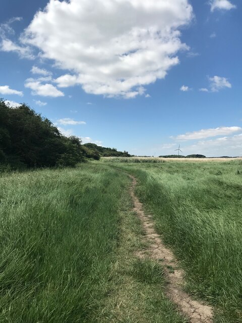
Visitors to Gatcombe Wood can enjoy several well-maintained walking trails that wind their way through the forest, offering stunning views of the surrounding countryside. The wood is accessible year-round and provides an idyllic setting for picnics, family outings, and nature photography. With its tranquil atmosphere and natural beauty, Gatcombe Wood is a hidden gem for those seeking a peaceful retreat in the heart of Gloucestershire.

If you have any feedback on the listing, please let us know in the comments section below.

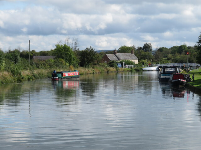
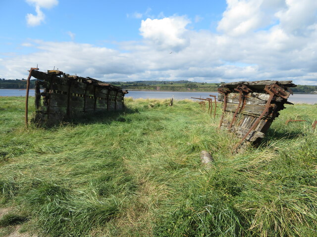
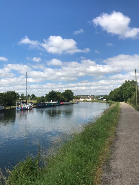
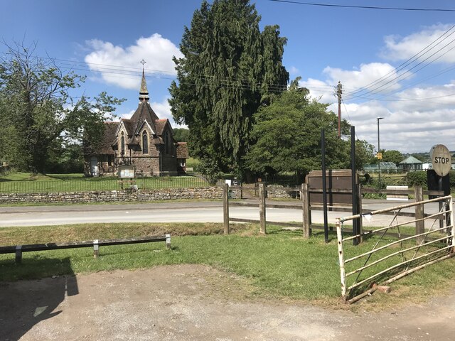
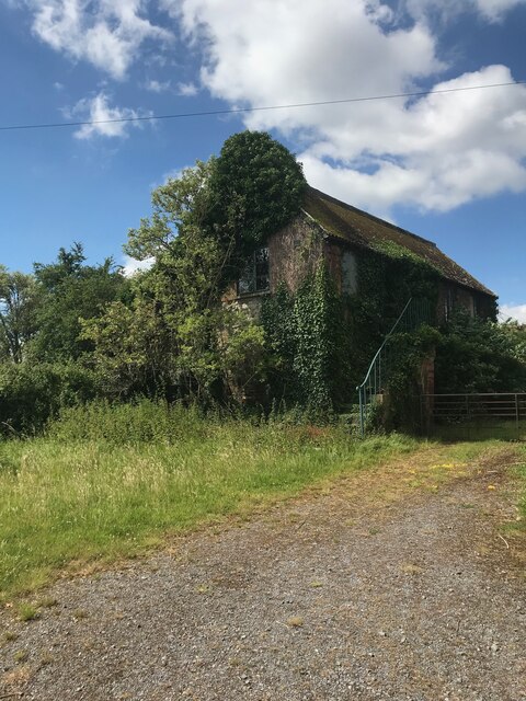
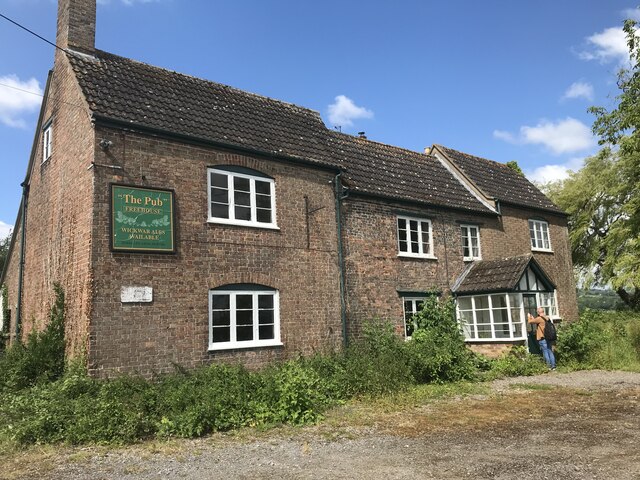
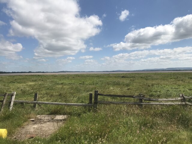
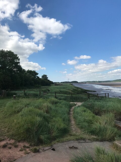
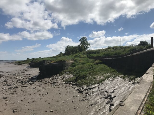
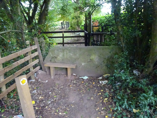
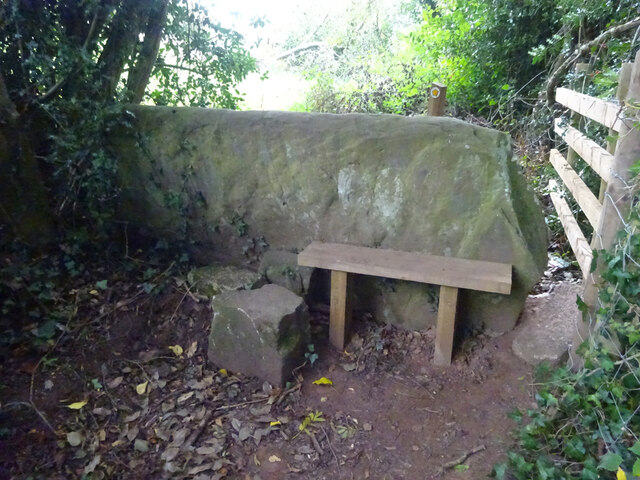
Gatcombe Wood Images

Images are sourced within 2km of 51.74858/-2.4626366 or Grid Reference SO6805. Thanks to Geograph Open Source API. All images are credited.

Gloucester and Sharpness Canal near Purton
Purton Ships' Graveyard Looking astern along one of the hulks at Purton.
Purton Ships' Graveyard
Looking astern along one of the hulks at Purton.
Gloucester and Sharpness Canal
Purton parish church
Outbuilding of the ex-pub
The Pub - Purton
The Pub - Purton
View from the ex-pub
FCB embedded in the bank
Purton Ship Graveyard
Stone Stile, Blakeney On Gloucestershire footpath DAW46 looking South looking towards the playing fields, the view North is <a href="https://www.geograph.org.uk/photo/7301767">SO6607 : Stone Stile, Blakeney</a>.
Stone Stile, Blakeney
On Gloucestershire footpath DAW46 looking South looking towards the playing fields, the view North is SO6607 : Stone Stile, Blakeney.
Stone Stile, Blakeney On Gloucestershire footpath DAW46 looking north, the view South looking towards the playing fields is <a href="https://www.geograph.org.uk/photo/7301766">SO6607 : Stone Stile, Blakeney</a>.
Stone Stile, Blakeney
On Gloucestershire footpath DAW46 looking north, the view South looking towards the playing fields is SO6607 : Stone Stile, Blakeney.
Stone Stile, Blakeney On Gloucestershire footpaths DAW119 & DAW44 at the Eastern side of the playing fields looking East. The view looking back is <a href="https://www.geograph.org.uk/photo/7301781">SO6707 : Stone Stile, Blakeney</a>.
Stone Stile, Blakeney
On Gloucestershire footpaths DAW119 & DAW44 at the Eastern side of the playing fields looking East. The view looking back is SO6707 : Stone Stile, Blakeney.
Stone Stile, Blakeney On Gloucestershire footpaths DAW119 & DAW44 at the Eastern side of and looking from the playing fields. The view looking in is <a href="https://www.geograph.org.uk/photo/7301780">SO6707 : Stone Stile, Blakeney</a>.
Stone Stile, Blakeney
On Gloucestershire footpaths DAW119 & DAW44 at the Eastern side of and looking from the playing fields. The view looking in is SO6707 : Stone Stile, Blakeney.
Stone Stile, Blakeney On Gloucestershire footpath DAW44 leaving the playing fields. The view looking back to the playing fields is <a href="https://www.geograph.org.uk/photo/7301793">SO6707 : Stone Stile, Blakeney</a>.
Stone Stile, Blakeney
On Gloucestershire footpath DAW44 leaving the playing fields. The view looking back to the playing fields is SO6707 : Stone Stile, Blakeney.
Stone Stile, Blakeney On Gloucestershire footpath DAW44 looking back to the playing fields. The view leaving the playing fields is <a href="https://www.geograph.org.uk/photo/7301792">SO6707 : Stone Stile, Blakeney</a>.
Stone Stile, Blakeney
On Gloucestershire footpath DAW44 looking back to the playing fields. The view leaving the playing fields is SO6707 : Stone Stile, Blakeney.
Stone Stile, Awre Private stile to Shaws Farm, Awre (Pronounces 'Ahr' by "Foresters" or 'Or' by Blakeneyites). Free range eggs in the box.
Stone Stile, Awre
Private stile to Shaws Farm, Awre (Pronounces 'Ahr' by "Foresters" or 'Or' by Blakeneyites). Free range eggs in the box.
Show me another place!

Gatcombe Wood is located at Grid Ref: SO6805 (Lat: 51.74858, Lng: -2.4626366)

Administrative County: Gloucestershire

District: Forest of Dean

Police Authority: Gloucestershire

What 3 Words

///stolen.clouds.repayment. Near Sharpness, Gloucestershire

Related Wikis

Clarke's Pool Meadow SSSI

Clarke's Pool Meadow (grid reference SO668061) is a 1.8-hectare (4.4-acre) biological Site of Special Scientific Interest in Gloucestershire, notified...
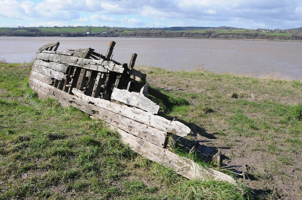
Purton Hulks

The Purton Hulks or Purton Ships' Graveyard is a number of abandoned boats and ships, deliberately beached beside the River Severn near Purton in Gloucestershire...

Purton, Lydney

Purton is a hamlet on the west bank of the River Severn, in the civil parish of Lydney in Gloucestershire, England. It lies opposite the village of Purton...

Berkeley Arms, Purton

The Berkeley Arms is a public house at Purton, Gloucestershire GL13 9HU. It is on the Campaign for Real Ale's National Inventory of Historic Pub Interiors...

Awre for Blakeney railway station

Awre for Blakeney railway station is a closed railway station in Gloucestershire, England, which served both the village of Awre and the town of Blakeney...

Blakeney, Gloucestershire

Blakeney is a village in Gloucestershire, England. It in the parish of Awre and has views of the Forest of Dean. It was the site of a Roman villa, dating...

Purton, Berkeley

Purton is a village on the east bank of the River Severn, 3 miles north of Berkeley, in Gloucestershire, England. The village is in the civil parish of...

Severn Railway Bridge

The Severn Railway Bridge (historically called the Severn Bridge) was a bridge carrying the railway across the River Severn between Sharpness and Lydney...

Nearby Amenities

Located within 500m of 51.74858,-2.4626366
Source: PGS
Lat/Long: 51.7455738/-2.467063
Source: PGS
Lat/Long: 51.7458474/-2.4661186
Source: PGS
Lat/Long: 51.7461637/-2.4652085
Source: PGS
Lat/Long: 51.746452/-2.463895
Source: PGS
Lat/Long: 51.746705/-2.463067
Source: PGS
Lat/Long: 51.746959/-2.462651
Source: PGS
Lat/Long: 51.7474191/-2.4610335
Source: PGS
Lat/Long: 51.748221/-2.4588806
Source: PGS
Lat/Long: 51.7485265/-2.4581189
Source: PGS
Lat/Long: 51.7488586/-2.4571533
Source: PGS
Lat/Long: 51.7490977/-2.4567027
Milkham Head
Place: locality
Source: OS Opendata Streetview
Lat/Long: 51.7484581/-2.4613085
Gatcombe
Place: locality
Source: OS_OpenData_StreetView
Lat/Long: 51.7470659/-2.4660677
The data included in this document is from www.openstreetmap.org. The data is made available under ODbL.

Have you been to Gatcombe Wood?

Leave your review of Gatcombe Wood below (or comments, questions and feedback).