Lobthorn Covert

Wood, Forest in Gloucestershire Stroud

England

Lobthorn Covert

Dog Gate Lane, near Stone: aerial 2021 (1)
Dog Gate Lane, near Stone: aerial 2021 (1) Credit: Chris

Lobthorn Covert is a picturesque woodland located in Gloucestershire, England. Spread across an area of approximately 100 acres, it is known for its natural beauty and diverse ecosystem. The woodland is situated in the heart of the Forest of Dean, a renowned ancient forest that has existed for centuries.

Lobthorn Covert is characterized by a dense canopy of trees, predominantly consisting of oak, beech, and birch. These towering trees create a serene and tranquil atmosphere, making it a popular spot for nature enthusiasts, hikers, and birdwatchers. The woodland floor is covered in a rich carpet of ferns, wildflowers, and moss, adding to its ethereal charm.

The forest is home to a wide variety of wildlife, including deer, foxes, badgers, and numerous bird species. It provides a natural habitat for these creatures, offering shelter, sustenance, and protection. During spring and summer, Lobthorn Covert becomes a haven for migratory birds, attracting ornithologists from far and wide.

Moreover, the woodland is crisscrossed by a network of walking trails, allowing visitors to explore its enchanting beauty at their own pace. These paths wind through the forest, revealing hidden streams, ancient trees, and breathtaking views. Lobthorn Covert is also home to a small visitor center, providing information about the forest's history, flora, and fauna.

Overall, Lobthorn Covert in Gloucestershire is a captivating woodland that offers a peaceful escape from the hustle and bustle of everyday life. Its natural splendor, diverse wildlife, and well-maintained trails make it a must-visit destination for nature lovers and outdoor enthusiasts alike.

If you have any feedback on the listing, please let us know in the comments section below.

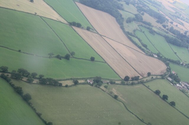
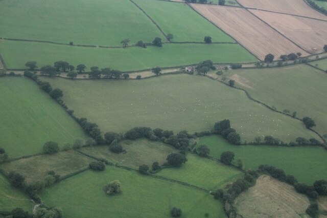
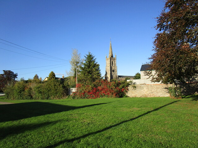
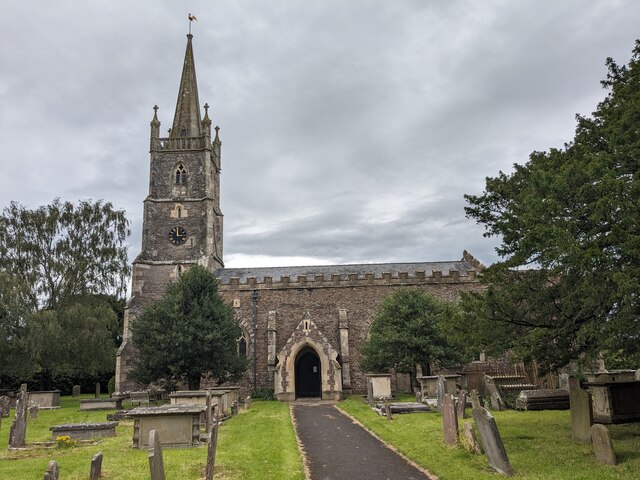
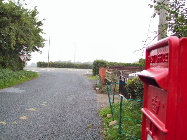
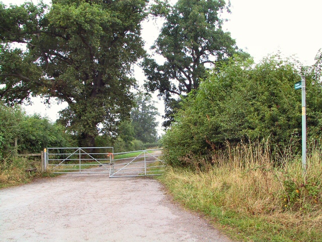
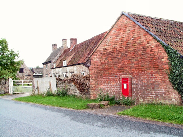
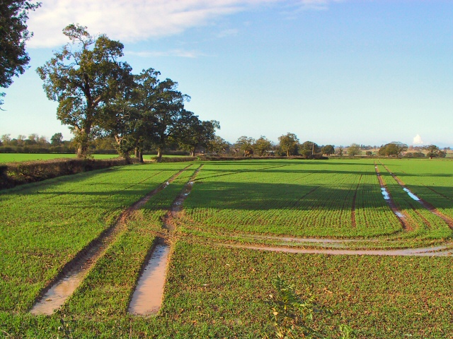
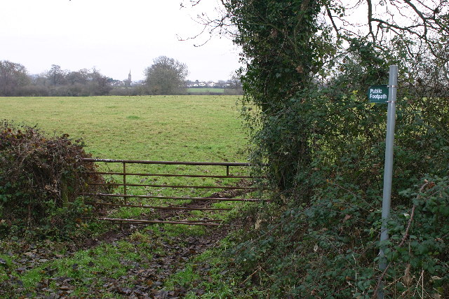
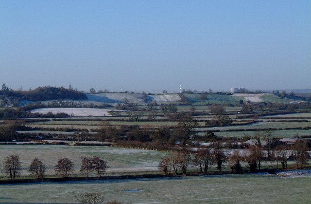
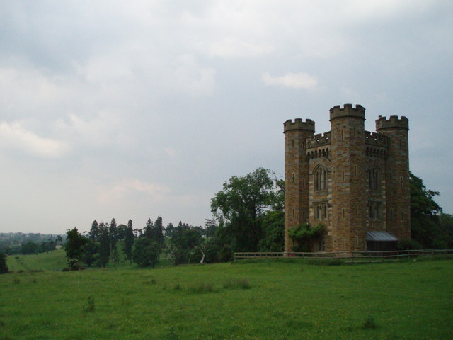
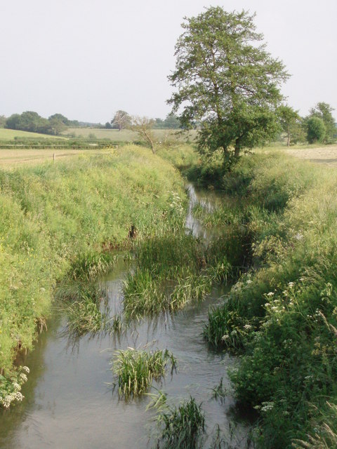
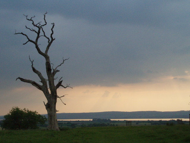
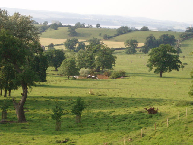
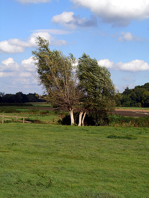
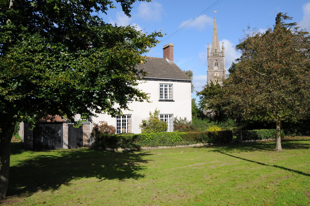
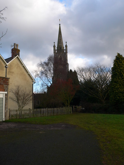
Lobthorn Covert Images

Images are sourced within 2km of 51.669905/-2.4631212 or Grid Reference ST6896. Thanks to Geograph Open Source API. All images are credited.

Dog Gate Lane, near Stone: aerial 2021 (1)
Dog Gate Lane, near Stone: aerial 2021 (2)
The Village Green and All Saints' church, Stone
All Saints Church, Stone with Woodford
Berkeley Castle Entrance to Berkeley Castle
Berkeley Castle
Entrance to Berkeley Castle
Swanley Junction View past the postbox at the end of Swanley Lane, to the intersection with the A38 near Woodford
Swanley Junction
View past the postbox at the end of Swanley Lane, to the intersection with the A38 near Woodford
Woodford Stile Over the stile from the A38 at Woodford and down the path to the Little Avon river.
Woodford Stile
Over the stile from the A38 at Woodford and down the path to the Little Avon river.
Damery Lane Postbox This postbox near Woodford is set into the wall of the barn at Holly Tree Farm.
Damery Lane Postbox
This postbox near Woodford is set into the wall of the barn at Holly Tree Farm.
Oakleaze Farm Waterlogged fields by the A38 at Chapel Hill. The winter wheat should thrive in the sunny and humid conditions prevailing (early November) if it doesn't drown first. The sharp-eyed may be able to pick out the Oakleaze Farm buildings amongst the trees in the centre of the picture.
Oakleaze Farm
Waterlogged fields by the A38 at Chapel Hill. The winter wheat should thrive in the sunny and humid conditions prevailing (early November) if it doesn't drown first. The sharp-eyed may be able to pick out the Oakleaze Farm buildings amongst the trees in the centre of the picture.
Footpath to Stone Looking NE from position
Footpath to Stone
Looking NE from position
Vale of Berkeley Looking south-west across the Vale of Berkeley from the top of Berkeley Church tower. The white pillars on the RH horizon are the supports of the Severn Bridge and the white mass on the far right is Oldbury nuclear power station. Once part of the Severn flood plain, now prime farming and hunting country.
Vale of Berkeley
Looking south-west across the Vale of Berkeley from the top of Berkeley Church tower. The white pillars on the RH horizon are the supports of the Severn Bridge and the white mass on the far right is Oldbury nuclear power station. Once part of the Severn flood plain, now prime farming and hunting country.
Park House Folly Built in the 19th Century, Park House Folly stands in a prominent position in Whitcliff Deer Park in the Severn Vale.
Park House Folly
Built in the 19th Century, Park House Folly stands in a prominent position in Whitcliff Deer Park in the Severn Vale.
Little Avon River from Matford Bridge This river rises in the east near Wotton-under-Edge and flows in a NW direction until it enters the Severn near Berkley power station.
Little Avon River from Matford Bridge
This river rises in the east near Wotton-under-Edge and flows in a NW direction until it enters the Severn near Berkley power station.
Horses and pond at Whitcliff Deer Park There are many man-made ponds in the park.  The park was first enclosed as a private hunting preserve at the end of the 13th Century when hunting was reserved for royalty and privileged guests of the Earls of Berkeley.
Horses and pond at Whitcliff Deer Park
There are many man-made ponds in the park. The park was first enclosed as a private hunting preserve at the end of the 13th Century when hunting was reserved for royalty and privileged guests of the Earls of Berkeley.
Wood in Whitcliff Deer park The Countryside Stewardship Scheme is replacing modern conifer plantations in the park.  They aim to ensure the survival of the ancient trees and enhance the historic landscape of the park by planting trees which reflect its medieval character.
Wood in Whitcliff Deer park
The Countryside Stewardship Scheme is replacing modern conifer plantations in the park. They aim to ensure the survival of the ancient trees and enhance the historic landscape of the park by planting trees which reflect its medieval character.
Thunder in the air A view from Whitcliff deer park looking towards the river Severn with heavy, black thunder clouds rolling in from the south-west.  The dead oak suggests forked lightning could be on its way.
Thunder in the air
A view from Whitcliff deer park looking towards the river Severn with heavy, black thunder clouds rolling in from the south-west. The dead oak suggests forked lightning could be on its way.
Pond The pond lies in the lower ground of Whitcliff deer park, has a square shape and is probably a man-made watering hole for the deer which roam in the park.  The river Severn can be seen in the background.
Pond
The pond lies in the lower ground of Whitcliff deer park, has a square shape and is probably a man-made watering hole for the deer which roam in the park. The river Severn can be seen in the background.
Willows near Brownsmill Farm
Show me another place!

Lobthorn Covert is located at Grid Ref: ST6896 (Lat: 51.669905, Lng: -2.4631212)

Administrative County: Gloucestershire

District: Stroud

Police Authority: Gloucestershire

What 3 Words

///conceals.glue.gosh. Near Berkeley, Gloucestershire

Nearby Locations

Lobthorn Covert

Related Wikis

The Salutation Inn

The Salutation Inn is a pub in Ham, Berkeley, Gloucestershire, England. It was CAMRA's National Pub of the Year for 2014. == References == == External... ==

Stone, Gloucestershire

Stone is a small village in the parish of Ham and Stone, Gloucestershire, England. It stands on the A38 road, just south-west of its crossing of the Little...

Ham and Stone

Ham and Stone is a civil parish in the Stroud district, in the county of Gloucestershire, England. It includes the settlements of Bevington, Ham, Hystfield...
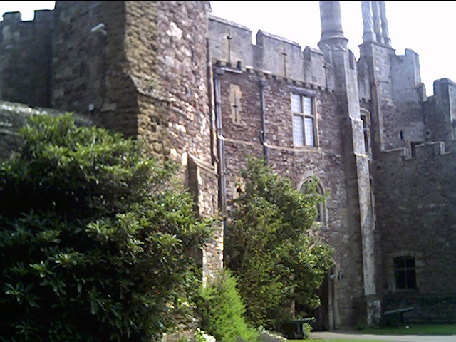
Berkeley Castle

Berkeley Castle ( BARK-lee; historically sometimes spelled as Berkley Castle or Barkley Castle) is a castle in the town of Berkeley, Gloucestershire, England...

Nearby Amenities

Located within 500m of 51.669905,-2.4631212
Marker: aerial
Operator: CLH
Operator Old: GPSS
Utility: oil
Lat/Long: 51.6681653/-2.4598928
Marker: aerial
Operator: CLH
Operator Old: GPSS
Utility: oil
Lat/Long: 51.6695776/-2.4591632
Marker: aerial
Operator: CLH
Operator Old: GPSS
Utility: oil
Lat/Long: 51.6694653/-2.4592946
The data included in this document is from www.openstreetmap.org. The data is made available under ODbL.

Have you been to Lobthorn Covert?

Leave your review of Lobthorn Covert below (or comments, questions and feedback).