Bessy's Wood

Wood, Forest in Gloucestershire Forest of Dean

England

Bessy's Wood

View across River Severn to Newnham Parish Church
View across River Severn to Newnham Parish Church Credit: Colin Park

Bessy's Wood is a picturesque woodland located in Gloucestershire, England. Covering an area of approximately 50 acres, this enchanting forest is nestled in the heart of the Cotswolds, a region renowned for its natural beauty.

The wood is predominantly composed of broad-leaved trees, with a rich mixture of oak, beech, ash, and birch creating a diverse and vibrant ecosystem. The trees tower above, forming a dense canopy that provides shelter and shade for a variety of wildlife. The forest floor is adorned with a blanket of wildflowers, ferns, and mosses, creating a serene and tranquil atmosphere.

Bessy's Wood is a haven for nature enthusiasts and walkers alike, offering a network of well-maintained footpaths that wind through the forest. Visitors can explore the wood's winding trails, discovering hidden streams, small ponds, and an abundance of wildlife. Deer, foxes, badgers, and a myriad of bird species can often be spotted, making it a popular spot for birdwatching and wildlife photography.

The woodland is also steeped in history, with archaeological evidence suggesting human activity dating back thousands of years. Ancient burial mounds and remnants of Iron Age settlements have been discovered within its boundaries, adding an extra layer of intrigue to its already captivating landscape.

In summary, Bessy's Wood is a captivating forest in Gloucestershire, boasting a diverse range of trees, flora, and fauna. With its tranquil atmosphere, well-maintained trails, and rich history, it offers visitors a unique opportunity to connect with nature and immerse themselves in the beauty of the Cotswolds.

If you have any feedback on the listing, please let us know in the comments section below.
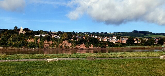
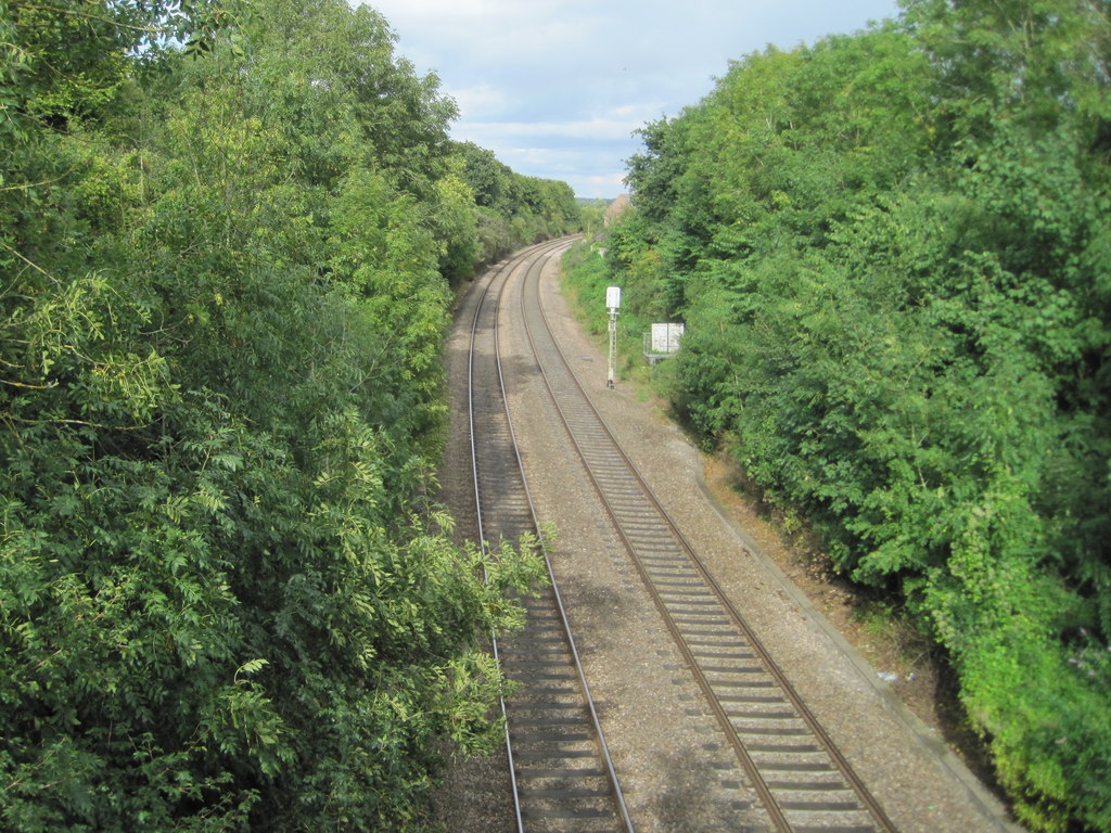
Bessy's Wood Images

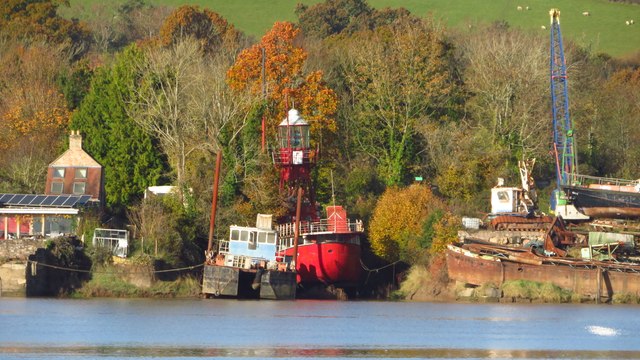
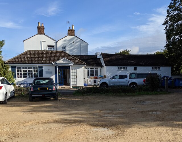
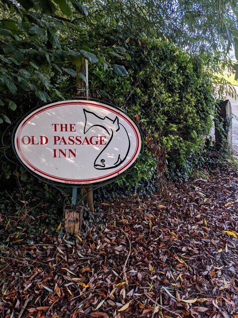
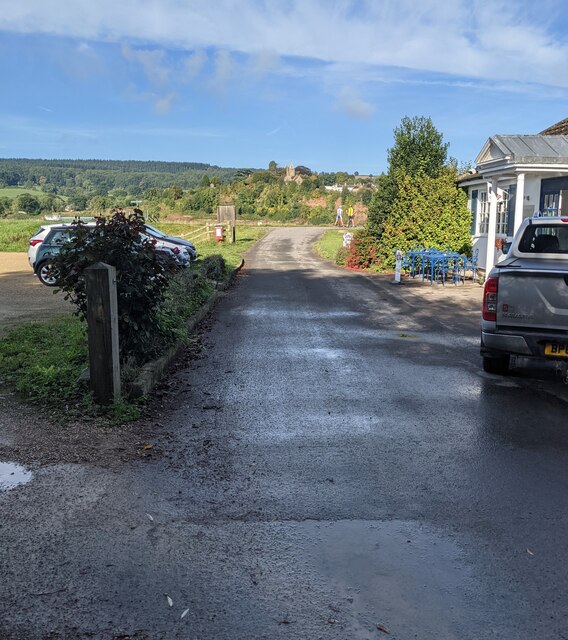
Images are sourced within 2km of 51.798119/-2.4654058 or Grid Reference SO6811. Thanks to Geograph Open Source API. All images are credited.

View across River Severn to Newnham Parish Church
Former Helwick Lightship at Newnham on Severn
Newnham on Severn from Old Passage, Arlingham
Old Passage Inn, Arlingham Alongside Passage Road on the east bank of the River Severn, opposite Newnham-on-Severn on the west bank.
Old Passage Inn, Arlingham
Alongside Passage Road on the east bank of the River Severn, opposite Newnham-on-Severn on the west bank.
Old Passage Inn name sign, Arlingham Alongside Passage Road opposite the inn. <a title="https://www.geograph.org.uk/photo/6972345" href="https://www.geograph.org.uk/photo/6972345">Link</a>
Old Passage Inn name sign, Arlingham
Alongside Passage Road opposite the inn. Link
Western end of Passage Road, Arlingham Looking towards the east bank of the River Severn and Newnham-on-Severn on the west bank. The Old Passage Inn <a title="https://www.geograph.org.uk/photo/6972345" href="https://www.geograph.org.uk/photo/6972345">Link</a> is on the right. Its car park is on the left
Western end of Passage Road, Arlingham
Looking towards the east bank of the River Severn and Newnham-on-Severn on the west bank. The Old Passage Inn Link is on the right. Its car park is on the left
Old Passage Inn car park, Arlingham On the south side of Passage Road, opposite the inn. <a title="https://www.geograph.org.uk/photo/6972345" href="https://www.geograph.org.uk/photo/6972345">Link</a>
Old Passage Inn car park, Arlingham
On the south side of Passage Road, opposite the inn. Link
Severn Way signpost, Arlingham On the east bank of the River Severn at the western edge of Arlingham.
Newnham-on-Severn in the background is on the west bank.
Severn Way signpost, Arlingham
On the east bank of the River Severn at the western edge of Arlingham. Newnham-on-Severn in the background is on the west bank.
The Old Passage Inn, Arlingham On the east bank of the River Severn viewed across Passage Road in September 2021.
The Old Passage Inn, Arlingham
On the east bank of the River Severn viewed across Passage Road in September 2021.
Picnic tables on grass, Arlingham On the west side of the Old Passage Inn <a title="https://www.geograph.org.uk/photo/6972380" href="https://www.geograph.org.uk/photo/6972380">Link</a> near the Severn Way on the east bank of the River Severn.
Picnic tables on grass, Arlingham
On the west side of the Old Passage Inn Link near the Severn Way on the east bank of the River Severn.
Two cyclists on the Severn Way, Arlingham On the east bank of the River Severn. Newnham-on-Severn is in the background.
Two cyclists on the Severn Way, Arlingham
On the east bank of the River Severn. Newnham-on-Severn is in the background.
Across the River Severn towards Newnham, Gloucestershire From Arlingham.
Across the River Severn towards Newnham, Gloucestershire
From Arlingham.
Grade II Listed old milestone, Arlingham Probably dating from the 18th century, the milestone is located outside the Old Passage Inn <a title="https://www.geograph.org.uk/photo/6972380" href="https://www.geograph.org.uk/photo/6972380">Link</a> on the east bank of the River Severn in Arlingham, Gloucestershire.
Grade II Listed old milestone, Arlingham
Probably dating from the 18th century, the milestone is located outside the Old Passage Inn Link on the east bank of the River Severn in Arlingham, Gloucestershire.
Marshfield Farm Real Dairy Ice Cream board, Arlingham On the east bank of the River Severn. 
The Old Passage Inn <a title="https://www.geograph.org.uk/photo/6972345" href="https://www.geograph.org.uk/photo/6972345">Link</a> is behind the camera. 
Newnham on the west bank of the Severn is in the background.
Marshfield Farm Real Dairy Ice Cream board, Arlingham
On the east bank of the River Severn. The Old Passage Inn Link is behind the camera. Newnham on the west bank of the Severn is in the background.
Corrugated roof, Arlingham The building is on the north side of Passage Road.
Corrugated roof, Arlingham
The building is on the north side of Passage Road.
Private Property notice on a gate, Arlingham Viewed across Passage Road in September 2021. The notice shows
"Private Property / No Parking / No Dumping / CCTV operating on these premises".
Private Property notice on a gate, Arlingham
Viewed across Passage Road in September 2021. The notice shows "Private Property / No Parking / No Dumping / CCTV operating on these premises".
Passage Farm, Arlingham Viewed across Passage Road in the west of Arlingham.
Passage Farm, Arlingham
Viewed across Passage Road in the west of Arlingham.
Solar panels in a field, Arlingham Viewed from Passage Road.
Solar panels in a field, Arlingham
Viewed from Passage Road.
Show me another place!

Bessy's Wood is located at Grid Ref: SO6811 (Lat: 51.798119, Lng: -2.4654058)

Administrative County: Gloucestershire

District: Forest of Dean

Police Authority: Gloucestershire

What 3 Words

///simply.from.burglars. Near Cinderford, Gloucestershire

Related Wikis

Nearby Amenities

Located within 500m of 51.798119,-2.4654058
Power: pole
Lat/Long: 51.796577/-2.4625521
Power: pole
Lat/Long: 51.7956652/-2.4628657
Power: pole
Lat/Long: 51.7947362/-2.4624962
Power: pole
Lat/Long: 51.797609/-2.4622174
Power: pole
Lat/Long: 51.7984174/-2.4619575
Power: pole
Lat/Long: 51.7990418/-2.4623379
Power: pole
Lat/Long: 51.7998246/-2.4627938
Power: pole
Lat/Long: 51.800682/-2.4633061
Power: pole
Lat/Long: 51.8012504/-2.4636716
Power: pole
Lat/Long: 51.8019516/-2.4640822
Barrier: stile
Material: wood
Step Count: 2
Stile: stepover
Lat/Long: 51.7974305/-2.4705094
Barrier: stile
Lat/Long: 51.7973375/-2.4721451
The data included in this document is from www.openstreetmap.org. The data is made available under ODbL.

Have you been to Bessy's Wood?

Leave your review of Bessy's Wood below (or comments, questions and feedback).