Cotterdale
Settlement in Yorkshire Richmondshire
England
Cotterdale
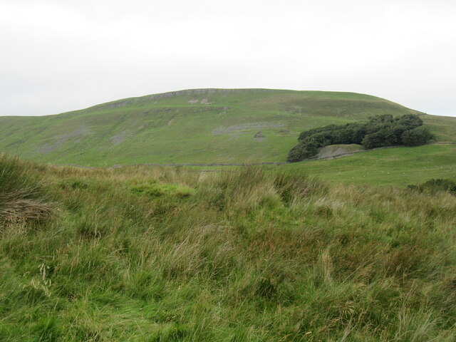
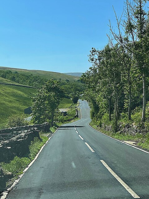
Cotterdale is a picturesque village nestled in the heart of the Yorkshire Dales, England. Located in the Craven district of North Yorkshire, it is surrounded by rolling hills, lush green valleys, and a tranquil atmosphere. This small hamlet is situated just 4 miles north of Hawes, the highest market town in England.
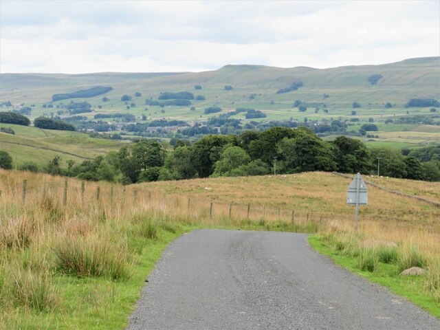
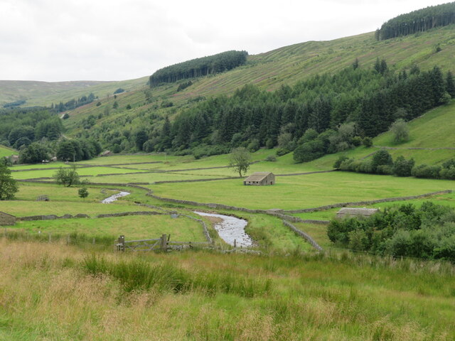
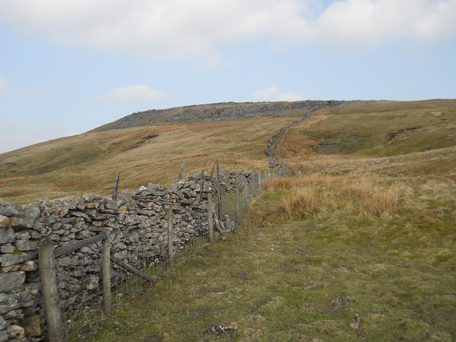
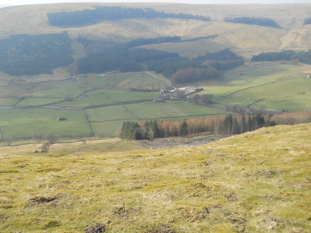
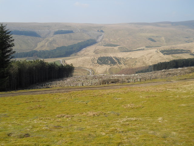
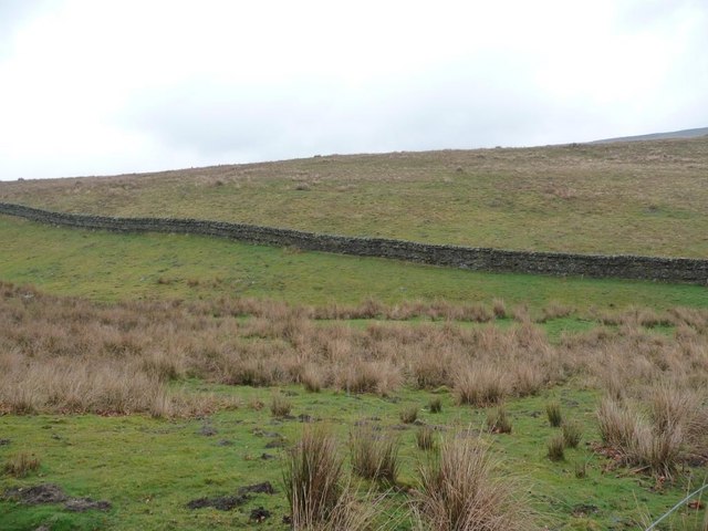
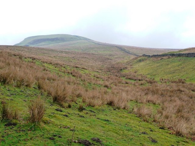
Cotterdale is known for its unspoiled natural beauty, making it a popular destination for nature lovers and outdoor enthusiasts. The area is abundant in wildlife, including a variety of bird species and mammals such as red squirrels and roe deer. The village itself consists of a cluster of stone houses and cottages, showcasing traditional Yorkshire architecture.
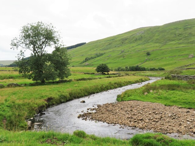
One of the main attractions in Cotterdale is Cotter Force, a stunning waterfall that cascades down a series of limestone steps. The waterfall can be reached via a scenic footpath, offering visitors a chance to enjoy a peaceful walk surrounded by breathtaking views.
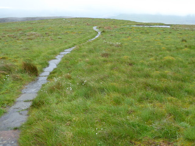
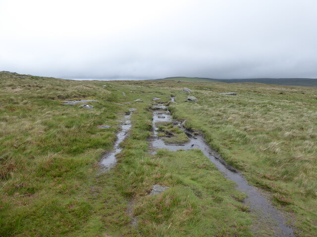
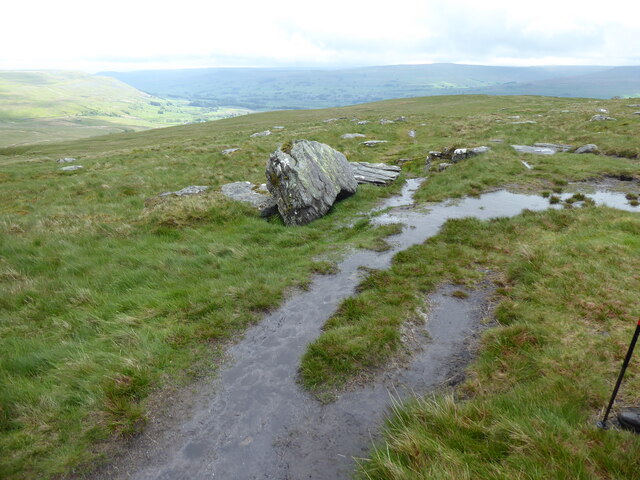
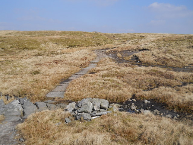
The surrounding area offers numerous opportunities for outdoor activities, such as hiking, cycling, and fishing. The nearby Yorkshire Dales National Park provides ample opportunities for exploration, with its vast network of footpaths and trails.
Despite its small size, Cotterdale boasts a strong sense of community. The village is home to a close-knit population, with a handful of residents and a tight-knit social scene. The local pub, The Foresters Arms, serves as a hub for social gatherings and events, offering a warm welcome to both locals and visitors alike.
In summary, Cotterdale is a hidden gem in the Yorkshire Dales, offering a peaceful retreat surrounded by breathtaking natural beauty. Its idyllic setting, charming architecture, and strong sense of community make it a truly special place to visit.
If you have any feedback on the listing, please let us know in the comments section below.
Cotterdale Images
Images are sourced within 2km of 54.340831/-2.260682 or Grid Reference SD8393. Thanks to Geograph Open Source API. All images are credited.


Cotterdale is located at Grid Ref: SD8393 (Lat: 54.340831, Lng: -2.260682)
Division: North Riding
Administrative County: North Yorkshire
District: Richmondshire
Police Authority: North Yorkshire
What 3 Words
///race.electrode.pleasing. Near Kirkby Stephen, Cumbria
Nearby Locations
Related Wikis

Cotterdale
Cotterdale is a small side dale and hamlet on the north side of Wensleydale in North Yorkshire, England. The dale lies to the west of Great Shunner Fell...

Cotter Force
Cotter Force is a small waterfall on Cotterdale Beck, a minor tributary of the River Ure, near the mouth of Cotterdale, a side dale in Wensleydale, North...
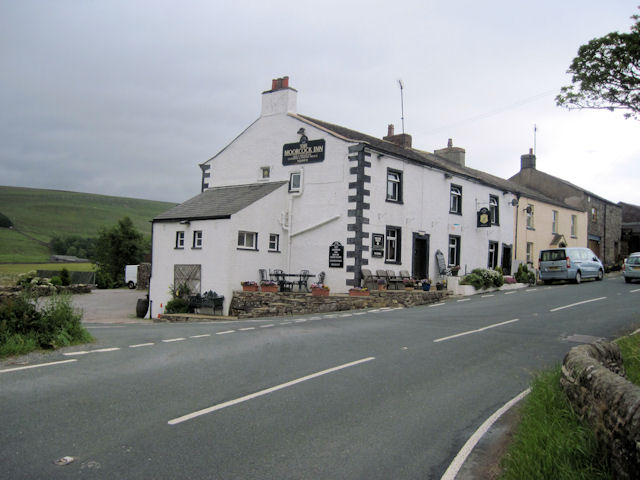
Moorcock Inn
The Moorcock Inn is a public house at the watershed of the Eden, Clough and Ure rivers, in Upper Wensleydale, North Yorkshire, England. It is adjacent...

Great Shunner Fell
Great Shunner Fell is the third-highest mountain in the Yorkshire Dales, North Yorkshire, England, and the highest point in Wensleydale; at 716 metres...

Lunds, North Yorkshire
Lunds is a hamlet in North Yorkshire, England, near to the watershed of the Eden and Ure rivers. It is on the border between Cumbria and North Yorkshire...

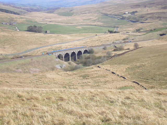
Dandry Mire Viaduct
Dandry Mire Viaduct, (or Dandrymire Viaduct), is a railway viaduct on the Settle & Carlisle line in Cumbria, England. It is just north of Garsdale station...

Appersett
Appersett is a hamlet in the Yorkshire Dales in the Richmondshire district of North Yorkshire, England one mile (1.6 km) west of Hawes. It lies on the...
Hawes Junction rail crash
The Hawes Junction rail crash occurred at 5.49 am on 24 December 1910, just north of Lunds Viaduct between Hawes Junction (now known as Garsdale station...
Nearby Amenities
Located within 500m of 54.340831,-2.260682Have you been to Cotterdale?
Leave your review of Cotterdale below (or comments, questions and feedback).