Long Parrock Wood

Wood, Forest in Yorkshire South Lakeland

England

Long Parrock Wood

Long Lane, Sedbergh
Long Lane, Sedbergh Credit: Roger Cornfoot

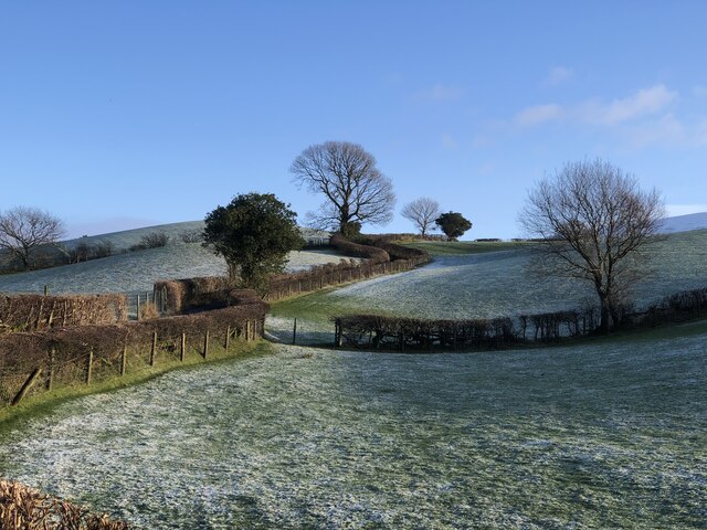
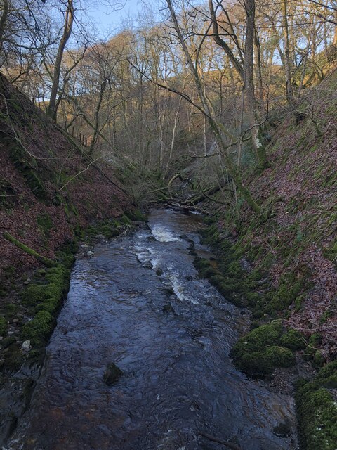
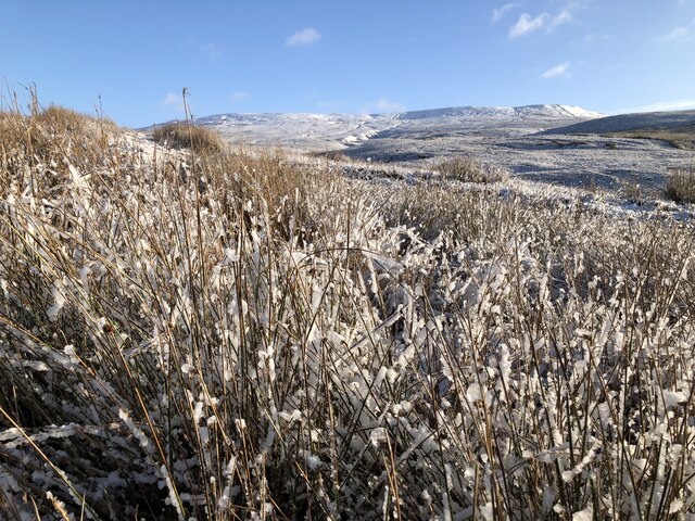
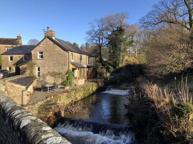
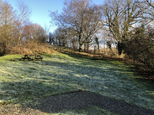
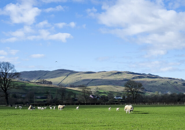
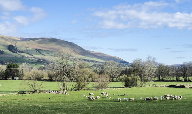
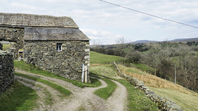
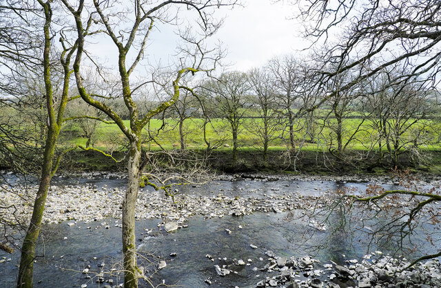
Long Parrock Wood is a sprawling forest located in the county of Yorkshire, England. Covering a vast area of approximately 500 acres, it is renowned for its stunning natural beauty and diverse range of flora and fauna. The wood is situated in the heart of the Yorkshire Dales National Park, surrounded by rolling hills, picturesque valleys, and babbling streams.

The wood is predominantly composed of broadleaf trees such as oak, beech, and birch, which create a dense canopy, allowing only dappled sunlight to filter through to the forest floor. This creates a serene and peaceful atmosphere, ideal for nature lovers and hikers alike.

Long Parrock Wood is also home to a rich variety of wildlife. Visitors may spot red squirrels darting through the trees, or catch a glimpse of elusive deer grazing in the clearing. The forest is teeming with birdlife, with species such as the great spotted woodpecker, tawny owl, and song thrush making their homes amongst the branches.

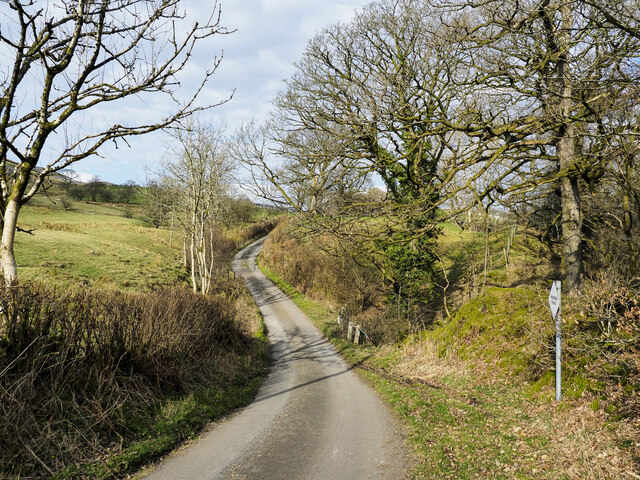
The wood offers a network of well-maintained trails, allowing visitors to explore its beauty at their own pace. These paths wind through the ancient woodland, offering breathtaking views of the surrounding landscape. It is a popular destination for outdoor enthusiasts, who can enjoy activities such as hiking, birdwatching, and photography.

Long Parrock Wood is not only a haven for nature enthusiasts, but also an important ecological site. Its conservation is overseen by local authorities, ensuring the protection of its diverse ecosystem for future generations to enjoy.

If you have any feedback on the listing, please let us know in the comments section below.

Long Parrock Wood Images

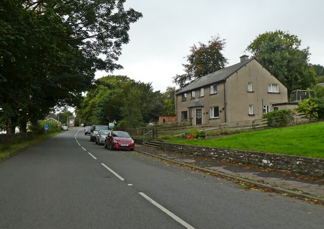
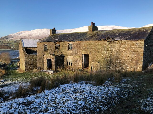
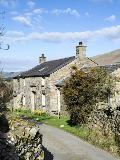
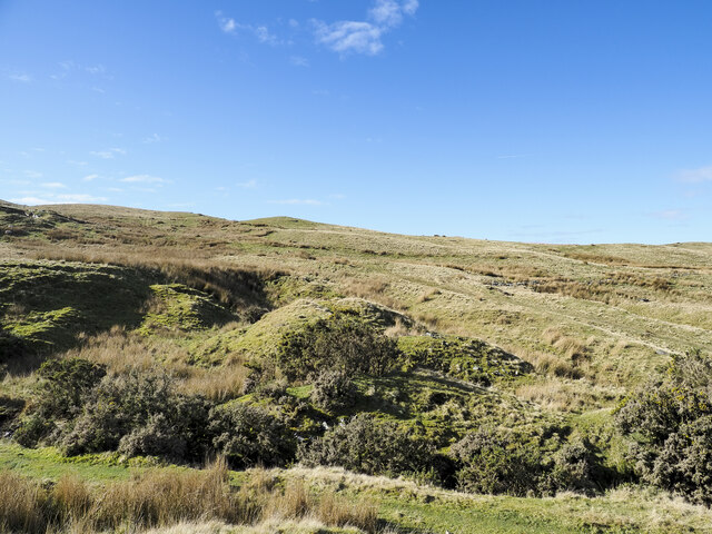
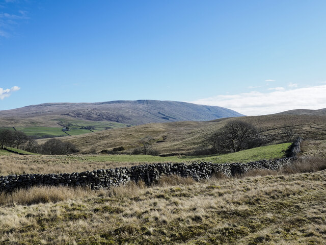
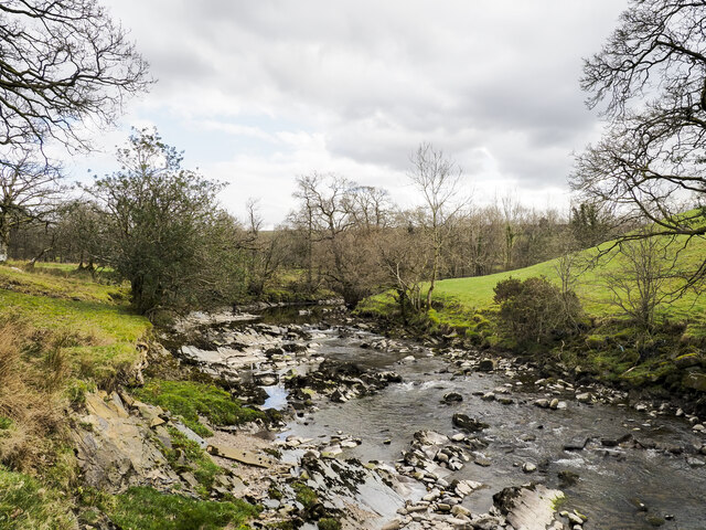
Images are sourced within 2km of 54.326664/-2.4962684 or Grid Reference SD6792. Thanks to Geograph Open Source API. All images are credited.

Long Lane, Sedbergh
Long Lane, Sedbergh
Fields Beside Road To Hebblethwaite Hall
Hebblethwaite Hall Gill
Abandoned Farmhouse at Sarthwaite
Icy Moorland Above Sarthwaite
Weirs on Hebblethwaite Hall Gill at Burntmill Bridge
Picnic Area Beside A 683
Thorns Hall Thorns Hall is an historic manor house in Sedbergh, dating from 1535 owned by the HF holiday group.
Thorns Hall
Thorns Hall is an historic manor house in Sedbergh, dating from 1535 owned by the HF holiday group.
Crook Crook is an outlying southern top of Arant Haw; there's a cairn at the summit.
Whernside, Great Coum and Calf Top are the three hills in the distance.
Crook
Crook is an outlying southern top of Arant Haw; there's a cairn at the summit. Whernside, Great Coum and Calf Top are the three hills in the distance.
Sheep on south side of A684 Sheep with new lambs in a field close to Sedbergh.
The gradually rising upland is Middleton Fell which reaches its highest point at The Calf, 610 metres, just on 2000 feet.
Sheep on south side of A684
Sheep with new lambs in a field close to Sedbergh. The gradually rising upland is Middleton Fell which reaches its highest point at The Calf, 610 metres, just on 2000 feet.
Low Hollins A cottage or cottages at Low Hollins near to Sedbergh. The narrow road here is the route of the long distance path, Dales High Way. The road ends not far behind the camera position the route then becoming a bridleway.
Low Hollins
A cottage or cottages at Low Hollins near to Sedbergh. The narrow road here is the route of the long distance path, Dales High Way. The road ends not far behind the camera position the route then becoming a bridleway.
Frostrow Frostrow, and an area of moorland named on OS maps as Frostrow Fells which is an area of low, rolling moorland.
Frostrow
Frostrow, and an area of moorland named on OS maps as Frostrow Fells which is an area of low, rolling moorland.
Dry stone wall at foot of Frostrow Fells The area known as Frostrow Fells is close to Sedbergh. It's part of the ground which eventually resolves itself into the broad ridge rising to Aye Gill Pike on the south side of Garsdale.
The large, distant hill is Baugh Fell, on the other side of Garsdale.
Dry stone wall at foot of Frostrow Fells
The area known as Frostrow Fells is close to Sedbergh. It's part of the ground which eventually resolves itself into the broad ridge rising to Aye Gill Pike on the south side of Garsdale. The large, distant hill is Baugh Fell, on the other side of Garsdale.
Ribs of rock in Clough River The river looking upstream, (to the south at the location), near to Hallbank, where a succession of low rock ribs extend out from the east bank, left in the image.
Ribs of rock in Clough River
The river looking upstream, (to the south at the location), near to Hallbank, where a succession of low rock ribs extend out from the east bank, left in the image.
Sheep and lambs near to Sedbergh Sheep in a field north of Bank Cottage Farm.
The Howgill Fells rise to the left with Knott being the most obvious feature.
Sheep and lambs near to Sedbergh
Sheep in a field north of Bank Cottage Farm. The Howgill Fells rise to the left with Knott being the most obvious feature.
Minor road with passing place The road is seen heading north towards the farm at Thursgill where it ends as a publicly motorable route. It's climbing from a stream crossing near to Ellerthwaite.
Minor road with passing place
The road is seen heading north towards the farm at Thursgill where it ends as a publicly motorable route. It's climbing from a stream crossing near to Ellerthwaite.
Barn at Fawcett Bank Fawcett Bank is a farm in the valley of the River Rawthey. The farm road, also a public footpath, is the course of a named long distance path based on a walk made by Alfred Wainwright in 1938, 'A Pennine Journey'.
Barn at Fawcett Bank
Fawcett Bank is a farm in the valley of the River Rawthey. The farm road, also a public footpath, is the course of a named long distance path based on a walk made by Alfred Wainwright in 1938, 'A Pennine Journey'.
River Rawthey A view across the river from the path on the north bank, east of Sedbergh.
River Rawthey
A view across the river from the path on the north bank, east of Sedbergh.
Show me another place!

Long Parrock Wood is located at Grid Ref: SD6792 (Lat: 54.326664, Lng: -2.4962684)

Division: West Riding

Administrative County: Cumbria

District: South Lakeland

Police Authority: Cumbria

What 3 Words

///essential.budgeted.tablets. Near Sedbergh, Cumbria

Nearby Locations

Long Parrock Wood

Related Wikis

Clough River

The Clough River is a river in Cumbria, England. A tributary of the River Rawthey, it flows for 21.8 kilometres (13.5 mi) primarily through the Garsdale...

Settlebeck School

Settlebeck School is a small coeducational secondary school with academy status. It is located in Sedbergh in the English county of Cumbria, drawing pupils...

Sedbergh

Sedbergh ( SED-bər or locally SEB-ər) is a town and civil parish in the ceremonial county of Cumbria. It falls within the historic boundaries of the West...

Millthrop

Millthrop is a hamlet in the South Lakeland district of Cumbria, Northern England and the Yorkshire Dales. Millthrop lies on the south bank of the River...

Nearby Amenities

Located within 500m of 54.326664,-2.4962684
Barrier: kissing_gate
Source: survey;gps
Lat/Long: 54.3241754/-2.5021835
Barrier: kissing_gate
Source: survey;gps
Lat/Long: 54.3247584/-2.5004673
Barrier: stile
Material: stone
Source: survey;gps
Stile: stepover
Lat/Long: 54.3226676/-2.4984587
Barrier: stile
Material: stone
Source: survey;gps
Stile: stepover
Lat/Long: 54.325736/-2.4976504
Give Way
Direction: forward
Lat/Long: 54.3255247/-2.497138
Give Way
Direction: backward
Lat/Long: 54.3257763/-2.4963254
Give Way
Direction: backward
Lat/Long: 54.3272423/-2.4950522
Power: pole
Lat/Long: 54.3300262/-2.4962837
Power: pole
Lat/Long: 54.328775/-2.497083
Power: pole
Lat/Long: 54.3261926/-2.4988854
Power: pole
Transformer: distribution
Lat/Long: 54.325362/-2.4991456
Power: pole
Lat/Long: 54.3240355/-2.4994943
Power: pole
Lat/Long: 54.322892/-2.5002614
WR
Historic: boundary_stone
Lat/Long: 54.3226785/-2.4984556
Hiking: yes
Information: guidepost
Source: GPS survey
Tourism: information
Lat/Long: 54.3226891/-2.4984583
Barrier: stile
Lat/Long: 54.3257824/-2.4974833
Hiking: yes
Information: guidepost
Source: GPS survey
Tourism: information
Lat/Long: 54.3257889/-2.4975156
Hiking: yes
Information: guidepost
Source: GPS survey
Tourism: information
Lat/Long: 54.322605/-2.4988304
Mounting Block
Lat/Long: 54.3255881/-2.4965921
Mounting Block
Lat/Long: 54.3255251/-2.500016
Power: pole
Lat/Long: 54.3246753/-2.4899416
Power: pole
Lat/Long: 54.3249952/-2.4894749
Power: pole
Lat/Long: 54.3253417/-2.4890524
Power: pole
Lat/Long: 54.3254598/-2.4897176
Power: pole
Lat/Long: 54.3269828/-2.4983339
Power: pole
Lat/Long: 54.3267839/-2.496509
Power: pole
Lat/Long: 54.3267315/-2.4958169
Power: pole
Lat/Long: 54.326629/-2.4945134
Power: pole
Lat/Long: 54.32636/-2.4927056
Power: pole
Lat/Long: 54.3261222/-2.491056
Power: pole
Lat/Long: 54.325728/-2.4895848
Parking
Parking: layby
Surface: unpaved
Lat/Long: 54.3256592/-2.4982014
Power: pole
Lat/Long: 54.3274517/-2.494127
Power: pole
Lat/Long: 54.3267672/-2.4904139
Power: pole
Lat/Long: 54.3276222/-2.4896449
The data included in this document is from www.openstreetmap.org. The data is made available under ODbL.

Have you been to Long Parrock Wood?

Leave your review of Long Parrock Wood below (or comments, questions and feedback).