Cotswold Community

Settlement in Wiltshire

England

Cotswold Community

Spine Road (West), heading west
Spine Road (West), heading west Credit: Robin Webster

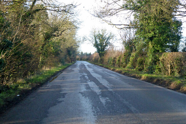
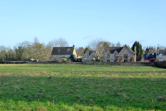
Cotswold Community is a small rural settlement located in the county of Wiltshire, England. Nestled within the picturesque landscape of the Cotswolds, this community is renowned for its tranquil atmosphere and stunning natural beauty. The village is situated approximately 10 miles west of the market town of Malmesbury, and is surrounded by rolling hills, lush green meadows, and enchanting woodland.

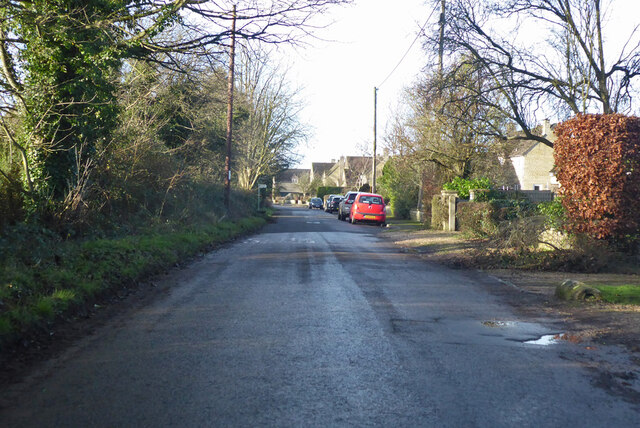
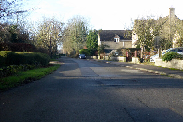
Cotswold Community is characterized by its traditional stone-built houses, which exude a timeless charm and add to the idyllic ambiance of the area. The community is home to a close-knit population of around 200 residents, who appreciate the peaceful and close connection to nature that living here affords.

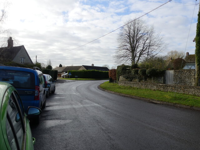
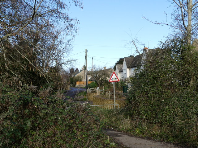
The village is well-served by a range of amenities, including a local pub, a village hall, and a primary school. Residents also enjoy various recreational activities, such as walking and cycling along the numerous scenic paths that crisscross the countryside. The nearby Cotswold Water Park offers opportunities for water sports and fishing, adding to the range of outdoor pursuits available.

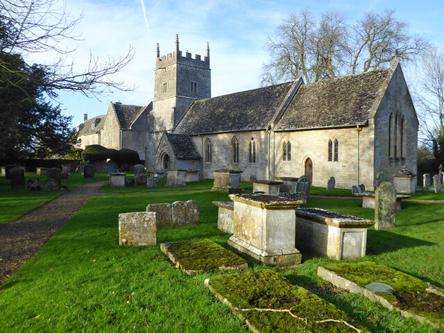
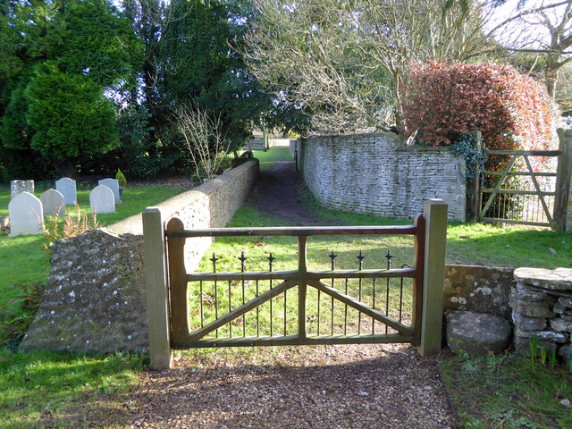
Cotswold Community is also known for its rich history and cultural heritage. The village church, dating back to the 12th century, stands as a testament to the area's past. Additionally, the community hosts regular events and festivals that celebrate local traditions and showcase regional talent.

Overall, Cotswold Community, Wiltshire, provides a serene and picturesque setting for those seeking a peaceful rural lifestyle, while still being within easy reach of nearby towns and attractions.

If you have any feedback on the listing, please let us know in the comments section below.

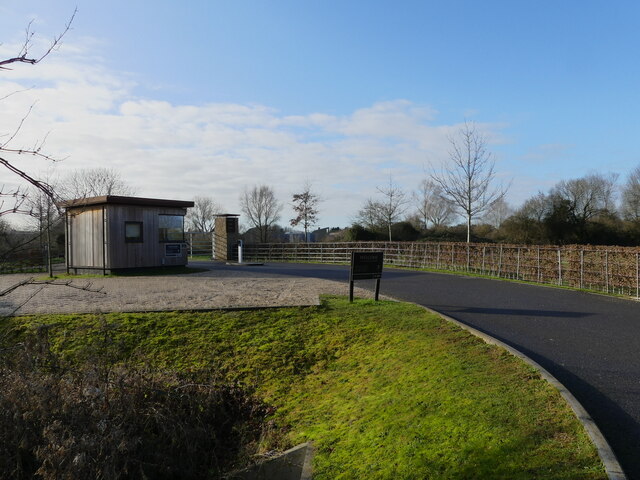
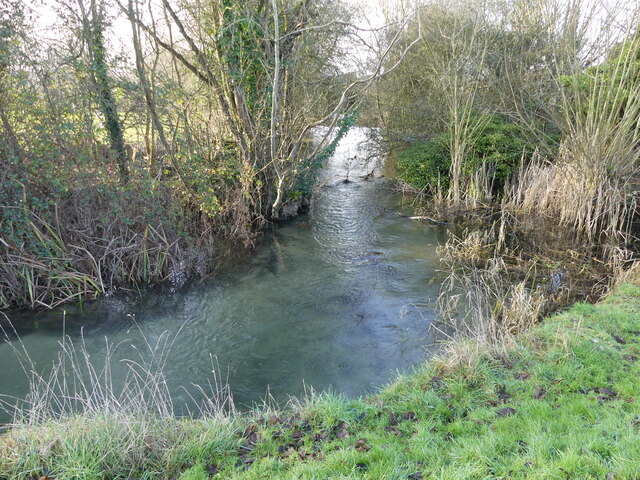
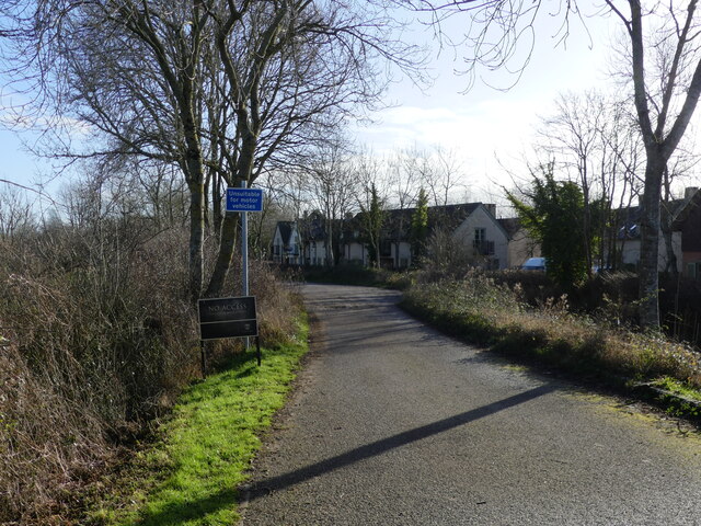
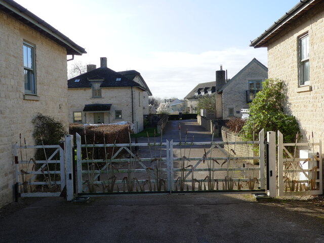
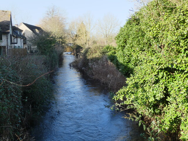
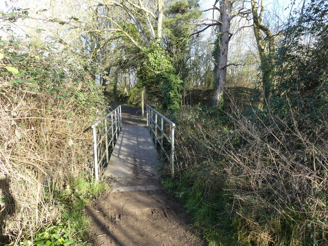
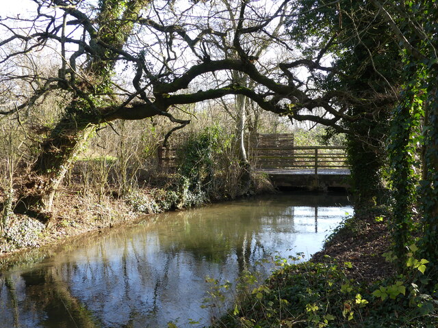
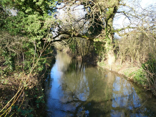
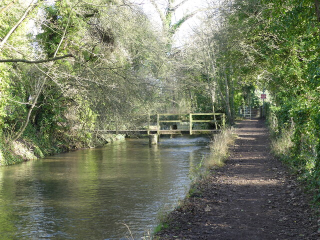
Cotswold Community Images

Images are sourced within 2km of 51.653782/-1.9580331 or Grid Reference SU0395. Thanks to Geograph Open Source API. All images are credited.

Spine Road (West), heading west
Water Lane, Somerford Keynes
Somerford Keynes church All Saints' is a grade II*(star) listed building. Beyond the tower is the Manor House, grade II listed.
Somerford Keynes church
All Saints' is a grade II*(star) listed building. Beyond the tower is the Manor House, grade II listed.
Lane from Somerford Keynes to Ewen
Houses on main road, Somerford Keynes A rear view from near the church. The large one on the right was formerly the village school.
Houses on main road, Somerford Keynes
A rear view from near the church. The large one on the right was formerly the village school.
Churchyard gate and stile, Somerford Keynes The gate looks quite new, but there was probably some sort of gate here in the past, as it would not be seemly for the vicar to use a stile as he came from the vicarage through the small gate. Why then the stile for a public footpath that enters the churchyard here? Perhaps the gate was locked.
Churchyard gate and stile, Somerford Keynes
The gate looks quite new, but there was probably some sort of gate here in the past, as it would not be seemly for the vicar to use a stile as he came from the vicarage through the small gate. Why then the stile for a public footpath that enters the churchyard here? Perhaps the gate was locked.
Bend in the road, Somerford Keynes The junction to the left beyond the parked cars is with Mill Lane, which gives access to the Thames Path.
Bend in the road, Somerford Keynes
The junction to the left beyond the parked cars is with Mill Lane, which gives access to the Thames Path.
Access path from the road to Mill Lane, Somerford Keynes Opposite this path, across the road, is a road that forms part of the Thames Path.
Access path from the road to Mill Lane, Somerford Keynes
Opposite this path, across the road, is a road that forms part of the Thames Path.
New access road to the Lower Mill Estate, Somerford Keynes The estate lies between the youthful River Thames and the gravel pit lakes prevalent in this area.
New access road to the Lower Mill Estate, Somerford Keynes
The estate lies between the youthful River Thames and the gravel pit lakes prevalent in this area.
Bend in the youthful River Thames beside the Thames Path, Somerford Keynes I hesitate to describe this as a "meander" - which would be the usual term for a bend in the river, as the course has been so heavily "managed" in this area.
Bend in the youthful River Thames beside the Thames Path, Somerford Keynes
I hesitate to describe this as a "meander" - which would be the usual term for a bend in the river, as the course has been so heavily "managed" in this area.
The Thames Path - approaching where the tarmac ends, Somerford Keynes
Gated road to Lower Mill Estate, Somerford Keynes The photo was taken from a bridge over the youthful River Thames <a href="https://www.geograph.org.uk/photo/7078594">SU0294 : The youthful River Thames seen from a bridge to the Lower Mill Estate, Somerford Keynes</a>.
Gated road to Lower Mill Estate, Somerford Keynes
The photo was taken from a bridge over the youthful River Thames SU0294 : The youthful River Thames seen from a bridge to the Lower Mill Estate, Somerford Keynes.
The youthful River Thames seen from a bridge to the Lower Mill Estate, Somerford Keynes
Footbridge over the River Thames, on the Thames Path near Somerford Keynes
Bridge over the River Thames, seen from the Thames Path, near Somerford Keynes
The River Thames seen from a bridge, near Somerford Keynes This bridge intersects with the Thames Path.
The River Thames seen from a bridge, near Somerford Keynes
This bridge intersects with the Thames Path.
Footbridge and track bridge across the River Thames, near Ashton Keynes The footpath is the Thames Path.
Footbridge and track bridge across the River Thames, near Ashton Keynes
The footpath is the Thames Path.
Show me another place!

Cotswold Community is located at Grid Ref: SU0395 (Lat: 51.653782, Lng: -1.9580331)

Unitary Authority: Wiltshire

Police Authority: Wiltshire

What 3 Words

///minerals.accompany.hears. Near Ashton Keynes, Wiltshire

Nearby Locations

Cotswold Community

Related Wikis

Cotswold Water Park

The Cotswold Water Park is the United Kingdom's largest marl lake system, straddling the Wiltshire–Gloucestershire border, north-west of Cricklade and...

Somerford Keynes

Somerford Keynes (, grid reference SU019952) is a village and civil parish in the Cotswold district of Gloucestershire, England, close to the River Thames...

All Saints Church, Shorncote

All Saints Church is a historic Anglican church in Shorncote, Gloucestershire, England under the care of The Churches Conservation Trust. It is recorded...

Pike Corner

Pike Corner (grid reference SU036933) is a 15.2 hectare biological Site of Special Scientific Interest in north Wiltshire, England, notified in 1986. The...

Nearby Amenities

Located within 500m of 51.653782,-1.9580331
Fixme: incomplete
Lat/Long: 51.6548383/-1.9607987
Crossing
Lat/Long: 51.6548946/-1.9611338
Crossing
Lat/Long: 51.6540889/-1.9635257
The data included in this document is from www.openstreetmap.org. The data is made available under ODbL.

Have you been to Cotswold Community?

Leave your review of Cotswold Community below (or comments, questions and feedback).