Dowpits Wood

Wood, Forest in Westmorland Eden

England

Dowpits Wood

Ordnance Survey 1GL Bolt This OS bolt can be found on the east face of St Michael's Church. It marks a point 142.838m above mean sea level.
Ordnance Survey 1GL Bolt Credit: Adrian Dust

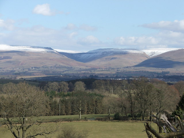
Dowpits Wood, located in Westmorland, is a picturesque woodland that encompasses an area of outstanding natural beauty. This enchanting forest is known for its diverse ecosystem, captivating wildlife, and serene atmosphere. It is a popular destination for nature enthusiasts, hikers, and birdwatchers.

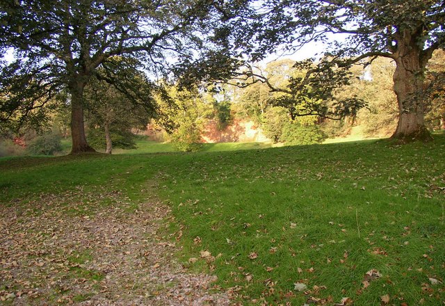
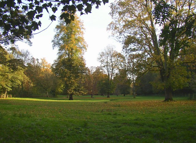
Covering a vast expanse of rolling hills and valleys, Dowpits Wood is predominantly composed of deciduous trees, creating a kaleidoscope of colors during the autumn months. The woodland is home to a wide variety of tree species, including oak, beech, ash, and birch, which provide a habitat for numerous bird species, small mammals, and insects.

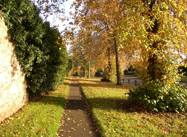
Visitors to Dowpits Wood can explore its many walking trails, immersing themselves in the tranquility of nature. The forest offers a range of routes suitable for all abilities, from leisurely strolls to more challenging hikes. Along these paths, visitors may encounter the occasional glimpse of deer, squirrels, or even the elusive red fox.

Birdwatchers are particularly drawn to Dowpits Wood, as it is a haven for a diverse range of avian species. From the melodious songs of the blackbird to the vibrant plumage of the kingfisher, bird enthusiasts can spot an array of feathered friends throughout the year.

The wood is managed by a dedicated team of conservationists who work tirelessly to preserve its natural beauty and protect its inhabitants. Their efforts ensure that Dowpits Wood remains a sanctuary for wildlife and a cherished destination for those seeking solace in the embrace of nature.

If you have any feedback on the listing, please let us know in the comments section below.
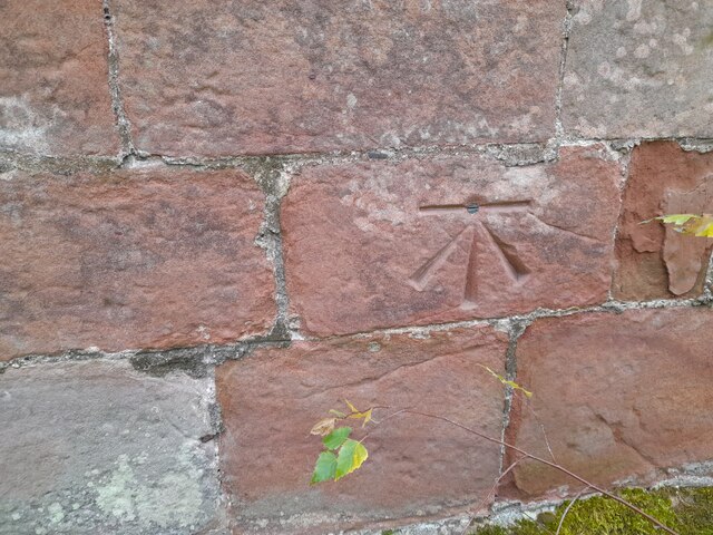
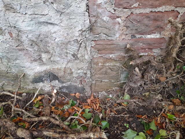
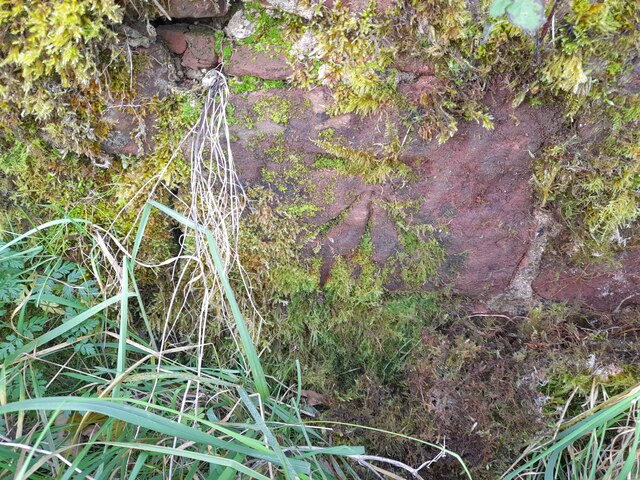
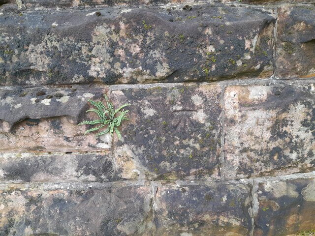
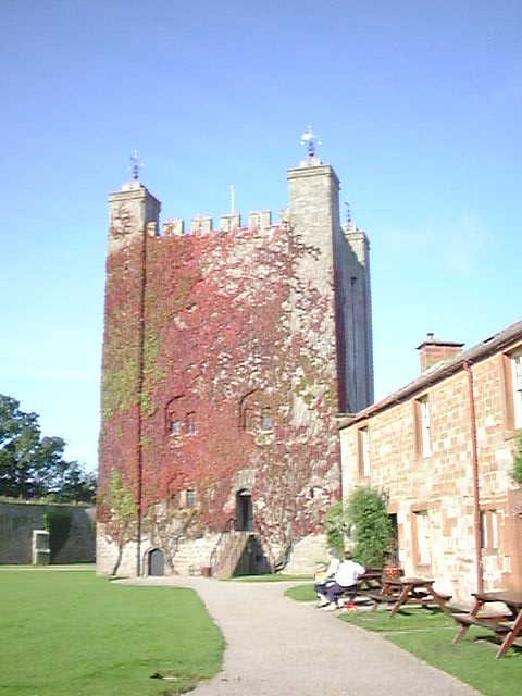
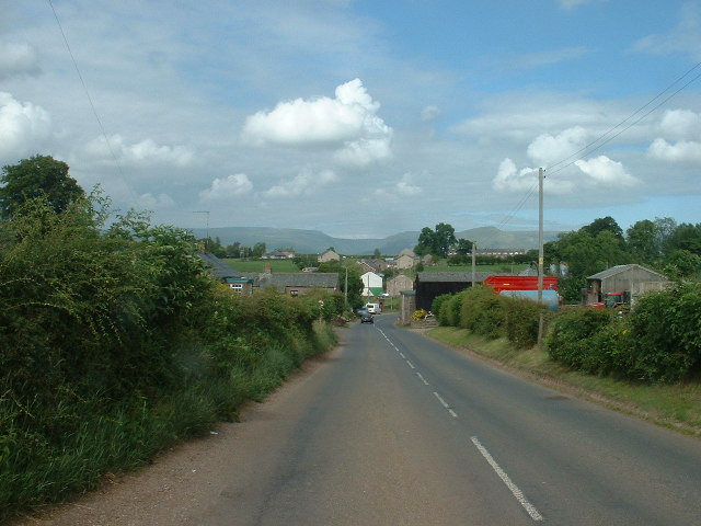
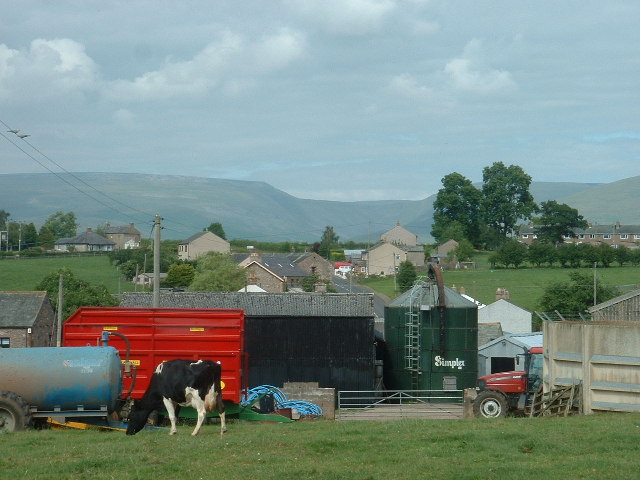
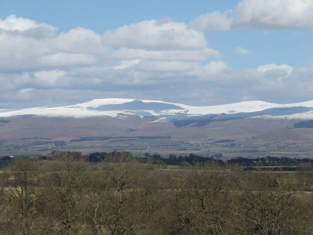
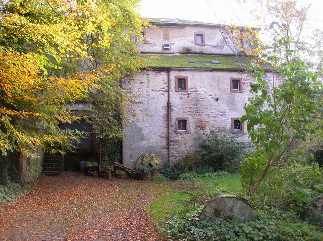
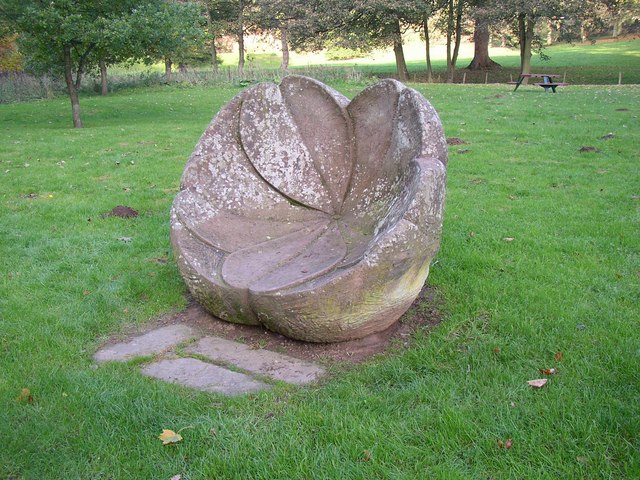
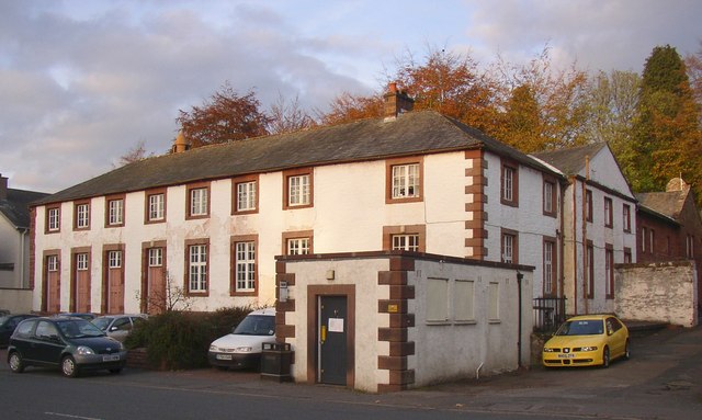
Dowpits Wood Images

Images are sourced within 2km of 54.575301/-2.5005082 or Grid Reference NY6720. Thanks to Geograph Open Source API. All images are credited.

Ordnance Survey 1GL Bolt This OS bolt can be found on the east face of St Michael's Church. It marks a point 142.838m above mean sea level.
Ordnance Survey 1GL Bolt
This OS bolt can be found on the east face of St Michael's Church. It marks a point 142.838m above mean sea level.
Ordnance Survey Cut Mark This OS cut mark can be found on the building NE side of Scattergate. It marks a point 145.460m above mean sea level.
Ordnance Survey Cut Mark
This OS cut mark can be found on the building NE side of Scattergate. It marks a point 145.460m above mean sea level.
Ordnance Survey Cut Mark This OS cut mark can be found on the wall SW side of the road junction. It marks a point 168.155m above mean sea level.
Ordnance Survey Cut Mark
This OS cut mark can be found on the wall SW side of the road junction. It marks a point 168.155m above mean sea level.
Ordnance Survey Cut Mark This OS cut mark can be found on the north face of the railway bridge. It marks a point 158.005m above mean sea level.
Ordnance Survey Cut Mark
This OS cut mark can be found on the north face of the railway bridge. It marks a point 158.005m above mean sea level.
Appleby Castle Caesar's Tower at Appleby Castle built it is thought on the site of a Roman tower.
Appleby Castle
Caesar's Tower at Appleby Castle built it is thought on the site of a Roman tower.
Burrells Village, near Appleby Looking north
Burrells Village, near Appleby
Looking north
Burrells Village, near Appleby Looking north. The deep incut of High Cup Nick is visible on the horizon
Burrells Village, near Appleby
Looking north. The deep incut of High Cup Nick is visible on the horizon
Pennines from brackenslack
High Cup Nick with light dusting of snow
Margarets Way, Appleby-in-Westmorland
Verge, Scattergate, Appleby This is the road to Orton, behind the castle.  Part of the wall around the castle grounds is on the left.
Verge, Scattergate, Appleby
This is the road to Orton, behind the castle. Part of the wall around the castle grounds is on the left.
Bongate Scar, Appleby Not marked as a quarry on the 6" map of 1863, so presumably a natural cliff of red sandstone. The information board by the footbridge reads "The same geological formation that contains oil under the North Sea.  One of the few places in the World where this type of formation is visible." Unfortunately it is in a field with a 'keep out' notice.
Bongate Scar, Appleby
Not marked as a quarry on the 6" map of 1863, so presumably a natural cliff of red sandstone. The information board by the footbridge reads "The same geological formation that contains oil under the North Sea. One of the few places in the World where this type of formation is visible." Unfortunately it is in a field with a 'keep out' notice.
St Michael's Church, Bongate, Appleby The north doorway has a Saxon hogsback gravestone re-used as a lintel.  Bongate was called 'Old Appleby' in medieval times, and is considered to have been the Anglo-saxon settlement that existed before the Normans came.  The south arcade and transept are in the Early Decorated style.  The north tower is an addition of 1885-6.  There are wall-paintings of c.1900 on the west wall and chancel north wall.
St Michael's Church, Bongate, Appleby
The north doorway has a Saxon hogsback gravestone re-used as a lintel. Bongate was called 'Old Appleby' in medieval times, and is considered to have been the Anglo-saxon settlement that existed before the Normans came. The south arcade and transept are in the Early Decorated style. The north tower is an addition of 1885-6. There are wall-paintings of c.1900 on the west wall and chancel north wall.
Riverside field off Castle Bank, Appleby This looks to be parkland belonging to the castle, but also a water meadow that could be flooded when the river level is high.
Riverside field off Castle Bank, Appleby
This looks to be parkland belonging to the castle, but also a water meadow that could be flooded when the river level is high.
Ford and Jubilee Footbridge, Appleby This is a replacement, built in 1971, of the original Jubilee Bridge that was destroyed by a flood in 1968.
Ford and Jubilee Footbridge, Appleby
This is a replacement, built in 1971, of the original Jubilee Bridge that was destroyed by a flood in 1968.
Weir for Bongate Mill, Appleby This crosses the River Eden on a long diagonal, and still looks to be in good condition although the mill closed many years ago.
Weir for Bongate Mill, Appleby
This crosses the River Eden on a long diagonal, and still looks to be in good condition although the mill closed many years ago.
Bongate Mill, Appleby An 18C mill building, Grade II listed. The mill wheel, now removed, was in a big sandstone arch.  It has been a pottery and gallery, but this looks to be closed now.
Bongate Mill, Appleby
An 18C mill building, Grade II listed. The mill wheel, now removed, was in a big sandstone arch. It has been a pottery and gallery, but this looks to be closed now.
Primrose Stone, Appleby One of ten sculptures along the River Eden, commissioned in the late 20C by the East Cumbria Countryside Project. The Primrose Stone is by Joss Smith.
Primrose Stone, Appleby
One of ten sculptures along the River Eden, commissioned in the late 20C by the East Cumbria Countryside Project. The Primrose Stone is by Joss Smith.
Show me another place!

Dowpits Wood is located at Grid Ref: NY6720 (Lat: 54.575301, Lng: -2.5005082)

Administrative County: Cumbria

District: Eden

Police Authority: Cumbria

What 3 Words

///thank.hosts.hammocks. Near Appleby-in-Westmorland, Cumbria

Related Wikis

Moot Hall, Appleby-in-Westmorland

The Moot Hall is a municipal building in Boroughgate, Appleby-in-Westmorland, Cumbria, England. The building, which is currently used as the meeting place...

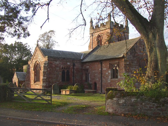
St Lawrence's Church, Appleby

St Lawrence's Church is in Boroughgate, Appleby-in-Westmorland, Cumbria, England. It is an active Anglican parish church in the deanery of Appleby, the...
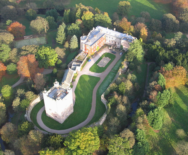
Appleby Castle

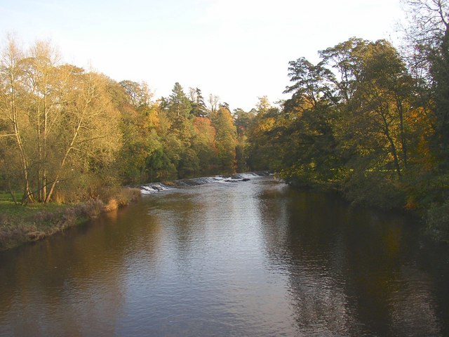
Appleby Castle is in the town of Appleby-in-Westmorland overlooking the River Eden (grid reference NY685200). It consists of a 12th-century castle keep...

Barony of Westmorland

The Barony of Westmorland (medieval Westmarieland or Westmaringaland) also known as North Westmorland, the Barony of Appleby, Appleshire or the Bottom...

Shire Hall, Appleby-in-Westmorland

The Shire Hall is a municipal building in The Sands, Appleby-in-Westmorland, Cumbria, England. The shire hall, which is currently used as a dental surgery...

Appleby Grammar School

Appleby Grammar School is a mixed secondary school and sixth form in Appleby-in-Westmorland for students aged 11 to 18. Since 2011, it has been an Academy...

Appleby Friary

Appleby Friary was a friary in Cumbria, England.

Appleby-in-Westmorland

Appleby-in-Westmorland is a market town and civil parish in Westmorland and Furness, Cumbria, England, with a population of 3,048 at the 2011 Census. Crossed...

Nearby Amenities

Located within 500m of 54.575301,-2.5005082
Margarets Way
Naptan AtcoCode: 090074031427
Naptan Bearing: E
Naptan BusStopType: CUS
Naptan CommonName: Margarets Way
Naptan Indicator: near
Naptan Landmark: junction with Margarets Way
Naptan NaptanCode: cumawtwm
Naptan Street: Colby Lane
Naptan Verified: no
Source: naptan_import
Lat/Long: 54.5722631/-2.4982594
Dowpits Wood
Natural: woodland
Source: OS OpenData StreetView
Lat/Long: 54.5752764/-2.5003719
Post Box
Operator: Royal Mail
Operator Wikidata: Q638098
Ref: CA16 311
Lat/Long: 54.5725714/-2.4970176
Toilets
Broadclose Appleby
Changing Table: yes
Fee: no
Female: yes
Male: yes
Opening Hours: Mo-Su 08:00-18:30
Wheelchair: yes
Lat/Long: 54.5771316/-2.4934886
Power: pole
Lat/Long: 54.5774161/-2.4957955
Power: pole
Lat/Long: 54.5781499/-2.4961951
Power: pole
Lat/Long: 54.5790562/-2.4966457
Social Facility
Edenside
Abandoned: yes
Addr Street: Holme Street
Social Facility: group_home
Social Facility For: senior
Lat/Long: 54.5766852/-2.4939048
Post Box
Operator: Royal Mail
Operator Wikidata: Q638098
Ref: CA16 314
Lat/Long: 54.5738773/-2.4952408
Bench
Source: survey;gps
Lat/Long: 54.5780309/-2.4947092
Bench
Source: survey;gps
Lat/Long: 54.5777706/-2.4946314
Generator Method: photovoltaic
Generator Output Electricity: yes
Generator Source: solar
Generator Type: solar_photovoltaic_panel
Location: roof
Power: generator
Lat/Long: 54.5733069/-2.4985276
Generator Method: photovoltaic
Generator Output Electricity: yes
Generator Source: solar
Generator Type: solar_photovoltaic_panel
Location: roof
Power: generator
Lat/Long: 54.5733317/-2.498592
Generator Method: photovoltaic
Generator Output Electricity: yes
Generator Source: solar
Generator Type: solar_photovoltaic_panel
Location: roof
Power: generator
Lat/Long: 54.5724704/-2.4988978
Generator Method: photovoltaic
Generator Output Electricity: yes
Generator Source: solar
Generator Type: solar_photovoltaic_panel
Location: roof
Power: generator
Lat/Long: 54.5733597/-2.5001772
Generator Method: photovoltaic
Generator Output Electricity: yes
Generator Source: solar
Generator Type: solar_photovoltaic_panel
Location: roof
Power: generator
Lat/Long: 54.57368/-2.5000699
Generator Method: photovoltaic
Generator Output Electricity: yes
Generator Source: solar
Generator Type: solar_photovoltaic_panel
Location: roof
Power: generator
Lat/Long: 54.5733535/-2.494566
Generator Method: photovoltaic
Generator Output Electricity: yes
Generator Source: solar
Generator Type: solar_photovoltaic_panel
Location: roof
Power: generator
Lat/Long: 54.5735059/-2.4951749
Generator Method: photovoltaic
Generator Output Electricity: yes
Generator Source: solar
Generator Type: solar_photovoltaic_panel
Location: roof
Power: generator
Lat/Long: 54.5729679/-2.4943058
Generator Method: photovoltaic
Generator Output Electricity: yes
Generator Source: solar
Generator Type: solar_photovoltaic_panel
Location: roof
Power: generator
Lat/Long: 54.5730503/-2.4945446
Generator Method: photovoltaic
Generator Output Electricity: yes
Generator Source: solar
Generator Type: solar_photovoltaic_panel
Location: roof
Power: generator
Lat/Long: 54.5730472/-2.4946009
Generator Method: photovoltaic
Generator Output Electricity: yes
Generator Source: solar
Generator Type: solar_photovoltaic_panel
Location: roof
Power: generator
Lat/Long: 54.5738744/-2.4960251
Generator Method: photovoltaic
Generator Output Electricity: yes
Generator Source: solar
Generator Type: solar_photovoltaic_panel
Location: roof
Power: generator
Lat/Long: 54.5738837/-2.4965991
Generator Method: photovoltaic
Generator Output Electricity: yes
Generator Source: solar
Generator Type: solar_photovoltaic_panel
Location: roof
Power: generator
Lat/Long: 54.5743066/-2.4946599
Generator Method: photovoltaic
Generator Output Electricity: yes
Generator Source: solar
Generator Type: solar_photovoltaic_panel
Location: roof
Power: generator
Lat/Long: 54.5741185/-2.4930425
Generator Method: photovoltaic
Generator Output Electricity: yes
Generator Source: solar
Generator Type: solar_photovoltaic_panel
Location: roof
Power: generator
Lat/Long: 54.5744636/-2.4935012
Generator Method: photovoltaic
Generator Output Electricity: yes
Generator Source: solar
Generator Type: solar_photovoltaic_panel
Location: roof
Power: generator
Lat/Long: 54.574389/-2.4934663
Generator Method: photovoltaic
Generator Output Electricity: yes
Generator Source: solar
Generator Type: solar_photovoltaic_panel
Location: roof
Power: generator
Lat/Long: 54.5722107/-2.4949791
Generator Method: photovoltaic
Generator Output Electricity: yes
Generator Source: solar
Generator Type: solar_photovoltaic_panel
Location: roof
Power: generator
Lat/Long: 54.5762531/-2.4930693
Generator Method: photovoltaic
Generator Output Electricity: yes
Generator Source: solar
Generator Type: solar_photovoltaic_panel
Location: roof
Power: generator
Lat/Long: 54.5760028/-2.4930586
Generator Method: photovoltaic
Generator Output Electricity: yes
Generator Source: solar
Generator Type: solar_photovoltaic_panel
Location: roof
Power: generator
Lat/Long: 54.5739415/-2.4961135
Power: pole
Lat/Long: 54.5740255/-2.5004847
Power: pole
Lat/Long: 54.5742845/-2.5020824
Power: pole
Lat/Long: 54.5745619/-2.5037968
Power: pole
Lat/Long: 54.574916/-2.5047637
Power: pole
Lat/Long: 54.5752851/-2.505782
Power: pole
Lat/Long: 54.5757642/-2.5071148
The data included in this document is from www.openstreetmap.org. The data is made available under ODbL.

Have you been to Dowpits Wood?

Leave your review of Dowpits Wood below (or comments, questions and feedback).