Bine Coppice

Wood, Forest in Worcestershire Malvern Hills

England

Bine Coppice

Farm with hop barns: Teme Valley The lane to Woodston Manor.
Farm with hop barns: Teme Valley Credit: Richard Greenwood

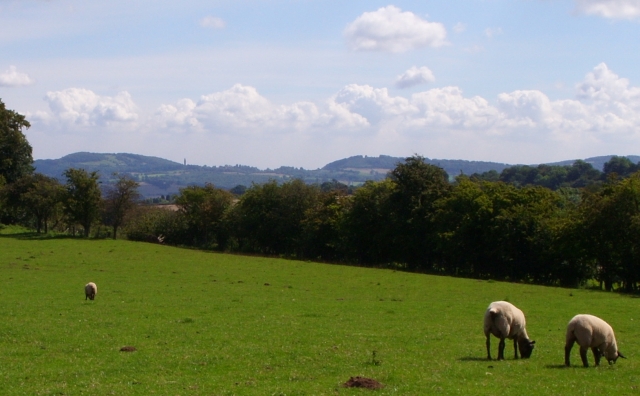
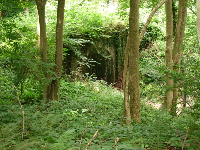
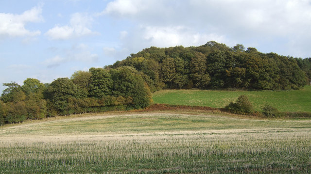
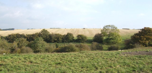
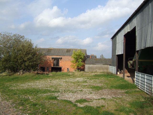
Bine Coppice is a picturesque woodland located in Worcestershire, England. Nestled in the heart of the county, this forested area spans approximately 100 acres and is a haven for nature lovers and outdoor enthusiasts.

The woodland is mainly composed of native broadleaf trees, including oak, beech, and ash, which create a diverse and vibrant ecosystem. In addition to the towering trees, Bine Coppice is also home to a variety of plant species, such as bluebells, wild garlic, and ferns, adding to its natural charm.

One of the main attractions of Bine Coppice is its extensive network of walking trails, which wind through the forest, allowing visitors to explore its beauty at their own pace. These paths cater to different levels of difficulty, making it suitable for both casual strollers and more experienced hikers. Along the trails, visitors may encounter a range of wildlife, including squirrels, deer, and a variety of bird species.

Moreover, Bine Coppice offers numerous opportunities for outdoor activities. The forest is a popular spot for birdwatching, with several viewing points strategically placed throughout the area. It is also an ideal location for nature photography, as the changing seasons bring a stunning array of colors and textures.

Overall, Bine Coppice is a serene and enchanting woodland, offering a tranquil retreat from the hustle and bustle of everyday life. Whether it's a leisurely walk, a wildlife encounter, or simply enjoying the beauty of nature, this Worcestershire gem has something for everyone.

If you have any feedback on the listing, please let us know in the comments section below.
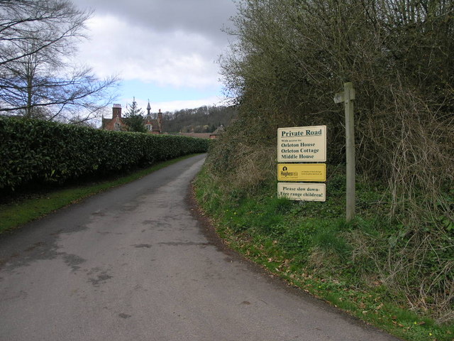
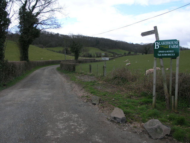
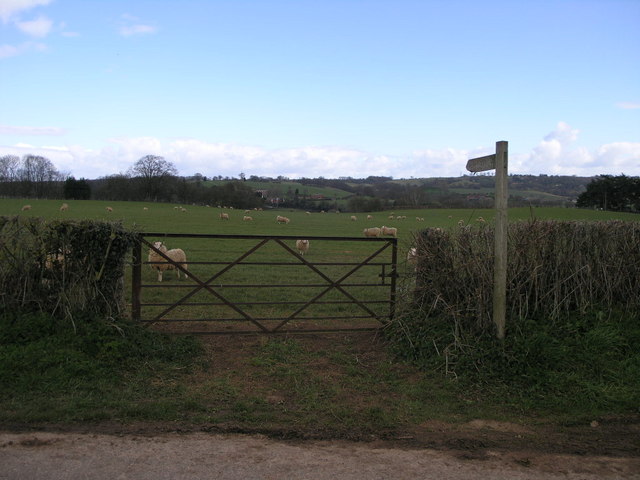
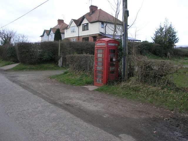
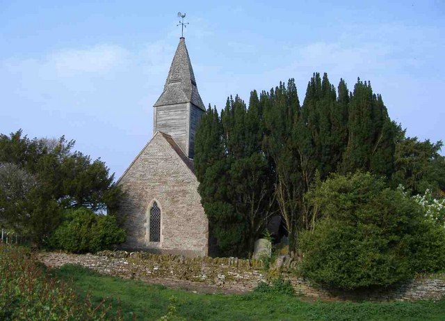
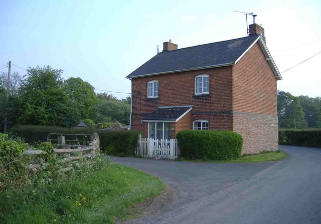
Bine Coppice Images

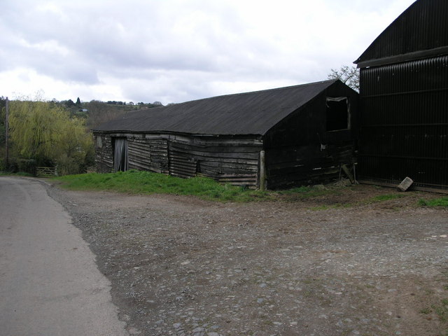
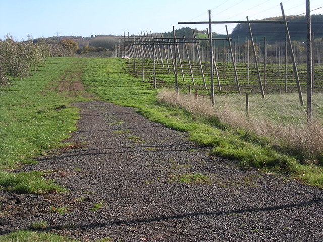
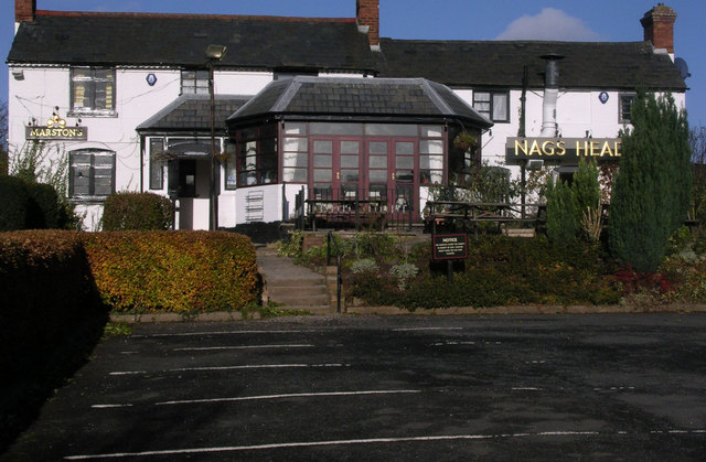
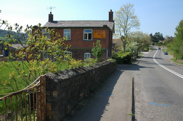
Images are sourced within 2km of 52.304231/-2.4747889 or Grid Reference SO6767. Thanks to Geograph Open Source API. All images are credited.

Farm with hop barns: Teme Valley The lane to Woodston Manor.
Farm with hop barns: Teme Valley
The lane to Woodston Manor.
Private Road Public Footpath This private road to Orleton House is also a public footpath to Quarry Hill.
Private Road Public Footpath
This private road to Orleton House is also a public footpath to Quarry Hill.
Patchwork Field This field is bounded by the line of trees which follow the River Teme.
Patchwork Field
This field is bounded by the line of trees which follow the River Teme.
Bridleway to Eastham Grange Hiding away somewhere on this hillside is a caravan park.
Bridleway to Eastham Grange
Hiding away somewhere on this hillside is a caravan park.
Gate and Sheep This footpath follows the river valley on its way to Eastham.
Gate and Sheep
This footpath follows the river valley on its way to Eastham.
Phone and Footpath The footpath leads to Eastham the phonebox could potentially lead to anywhere in the world.
Phone and Footpath
The footpath leads to Eastham the phonebox could potentially lead to anywhere in the world.
Black Wooden Barn This barn has perhaps seen better days since the planks on its sides have sagged a little.
Black Wooden Barn
This barn has perhaps seen better days since the planks on its sides have sagged a little.
Hops and Apples There are still hopfields in the Teme Valley, this one quite high up on the 75m contour. Note new orchard on left of the track.
Hops and Apples
There are still hopfields in the Teme Valley, this one quite high up on the 75m contour. Note new orchard on left of the track.
Nag's Head Pub On the A 443 Worcester Tenbury Road in the Teme Valley.
Nag's Head Pub
On the A 443 Worcester Tenbury Road in the Teme Valley.
Cottage in Eardiston
All Saints Church, Hanley William
North Lodge, Hanley William
Sheep Pasture, Church Farm, Hanley William Looking towards the Abbeley Clock Tower <a href="https://www.geograph.org.uk/photo/392108">SO7466 : Abberley Clock Tower</a>
Sheep Pasture, Church Farm, Hanley William
Looking towards the Abbeley Clock Tower SO7466 : Abberley Clock Tower
Bridge in Hanley Dingle A very tall brick built bridge over the stream running into Hanley Dingle; close to the noisy waterfall. The bridge carries a farm track and public footpath.
Bridge in Hanley Dingle
A very tall brick built bridge over the stream running into Hanley Dingle; close to the noisy waterfall. The bridge carries a farm track and public footpath.
Bridleway south of Hillwood Farm Pleasant rolling countryside in west Worcestershire.
Bridleway south of Hillwood Farm
Pleasant rolling countryside in west Worcestershire.
Wooded hillside View east of the farm road to Hillwood farm.
Wooded hillside
View east of the farm road to Hillwood farm.
Grazing land and arable Typical scenery of the countryside east of Tenbury.
Grazing land and arable
Typical scenery of the countryside east of Tenbury.
Hillwood Farm Not a hive of activity.
Hillwood Farm
Not a hive of activity.
Show me another place!

Bine Coppice is located at Grid Ref: SO6767 (Lat: 52.304231, Lng: -2.4747889)

Administrative County: Worcestershire

District: Malvern Hills

Police Authority: West Mercia

What 3 Words

///rehearsal.reception.freely. Near Collington, Herefordshire

Related Wikis

Hanley William

Hanley William is a village and former civil parish, now in the parish of Hanley, in the Malvern Hills district, in the county of Worcestershire, England...

Eastham, Worcestershire

Eastham is a village and civil parish in the Malvern Hills District in the county of Worcestershire, England. It had a population of 254 in 2021.Eastham...

Lindridge

Lindridge is a village and civil parish in the Malvern Hills District in the north of the county of Worcestershire, England, near the Shropshire border...

Hanley, Worcestershire

Hanley is a civil parish in the district of Malvern Hills in the county of Worcestershire, England. Hanley William and Hanley Child are places within the...

Nearby Amenities

Located within 500m of 52.304231,-2.4747889
Barrier: stile
Material: wood
Stile: stepover
Lat/Long: 52.3034675/-2.4768833
Barrier: stile
Material: wood
Stile: stepover
Lat/Long: 52.3032879/-2.4780863
Barrier: stile
Material: wood
Stile: stepover
Lat/Long: 52.303675/-2.4818695
Power: pole
Lat/Long: 52.3054028/-2.4720083
Power: pole
Lat/Long: 52.3034397/-2.4697814
Keepers Cottage Eastham
Power: pole
Transformer: distribution
Voltage Primary: 11000
Lat/Long: 52.3036049/-2.468278
Power: pole
Lat/Long: 52.3035327/-2.4711024
Power: pole
Lat/Long: 52.3040977/-2.4713029
Power: pole
Lat/Long: 52.3048518/-2.4713472
Power: pole
Lat/Long: 52.3051109/-2.4716536
Coldenhale
Power: pole
Transformer: distribution
Voltage Primary: 11000
Lat/Long: 52.3057013/-2.4723221
Power: pole
Lat/Long: 52.3064201/-2.4731436
Power: pole
Lat/Long: 52.3066964/-2.4736096
Blakehouse Caravan Park - Trans
Power: pole
Transformer: distribution
Voltage Primary: 11000
Lat/Long: 52.3071302/-2.4743405
Power: pole
Lat/Long: 52.3075611/-2.4750654
Power: pole
Lat/Long: 52.3079981/-2.475803
Power: pole
Lat/Long: 52.3084491/-2.4765687
Byeways
Power: pole
Transformer: distribution
Voltage Primary: 11000
Lat/Long: 52.3000974/-2.4765218
Power: pole
Lat/Long: 52.3007801/-2.4768745
Red Bank
Power: pole
Transformer: distribution
Voltage Primary: 11000
Lat/Long: 52.3015182/-2.4771615
Power: pole
Lat/Long: 52.3011414/-2.4778106
Power: pole
Lat/Long: 52.3007408/-2.4784952
The data included in this document is from www.openstreetmap.org. The data is made available under ODbL.

Have you been to Bine Coppice?

Leave your review of Bine Coppice below (or comments, questions and feedback).