Holcombe Wood

Wood, Forest in Dorset

England

Holcombe Wood

ROC post (Nuclear Monitoring Post) near Buckland Newton For further information, see <span class="nowrap"><a title="http://www.subbrit.org.uk/rsg/roc/db/988719866.003001.html" rel="nofollow ugc noopener" href="http://www.subbrit.org.uk/rsg/roc/db/988719866.003001.html">Link</a><img style="margin-left:2px;" alt="External link" title="External link - shift click to open in new window" src="https://s1.geograph.org.uk/img/external.png" width="10" height="10"/></span>
ROC post (Nuclear Monitoring Post) near Buckland Newton Credit: Becky Williamson

Holcombe Wood is a picturesque forest located in the county of Dorset, England. Covering an area of approximately 60 hectares, it is a popular destination for nature lovers and outdoor enthusiasts. The wood is situated near the village of Holcombe, nestled within the beautiful countryside of the region.

The wood is predominantly made up of native broadleaf trees, including oak, ash, and beech. These trees create a dense canopy that provides a habitat for a variety of wildlife, including birds, small mammals, and insects. The forest floor is adorned with a carpet of bluebells during the spring, adding a splash of color to the surroundings.

Holcombe Wood offers several well-maintained walking trails, allowing visitors to explore its natural beauty at their own pace. These trails wind through the forest, offering glimpses of ancient trees and peaceful glades. The wood also features a picnic area, where visitors can relax and enjoy a meal amidst the tranquility of nature.

In addition to its natural wonders, Holcombe Wood holds historical significance. It is believed to have been used as a source of timber during the medieval period, contributing to the local economy. Today, it stands as a testament to the enduring beauty and importance of woodlands in Dorset.

Overall, Holcombe Wood is a haven for nature enthusiasts and a peaceful retreat for those seeking solace in the midst of nature's embrace. Its rich biodiversity, scenic trails, and historical significance make it a must-visit destination in Dorset.

If you have any feedback on the listing, please let us know in the comments section below.

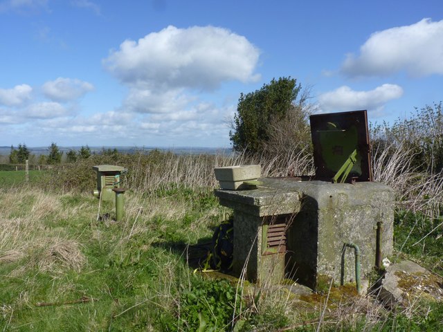
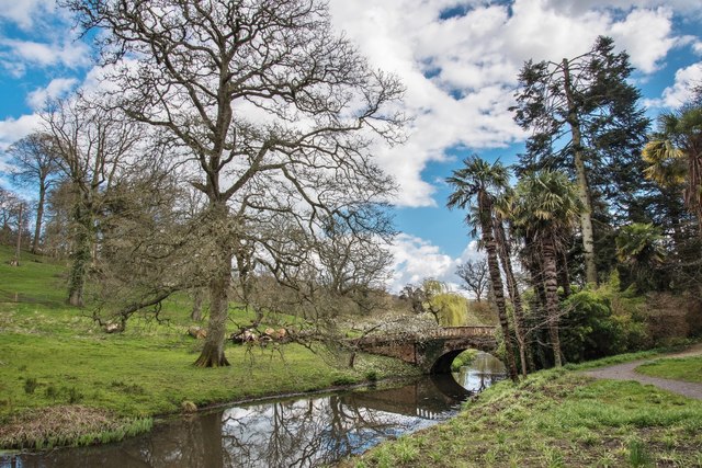
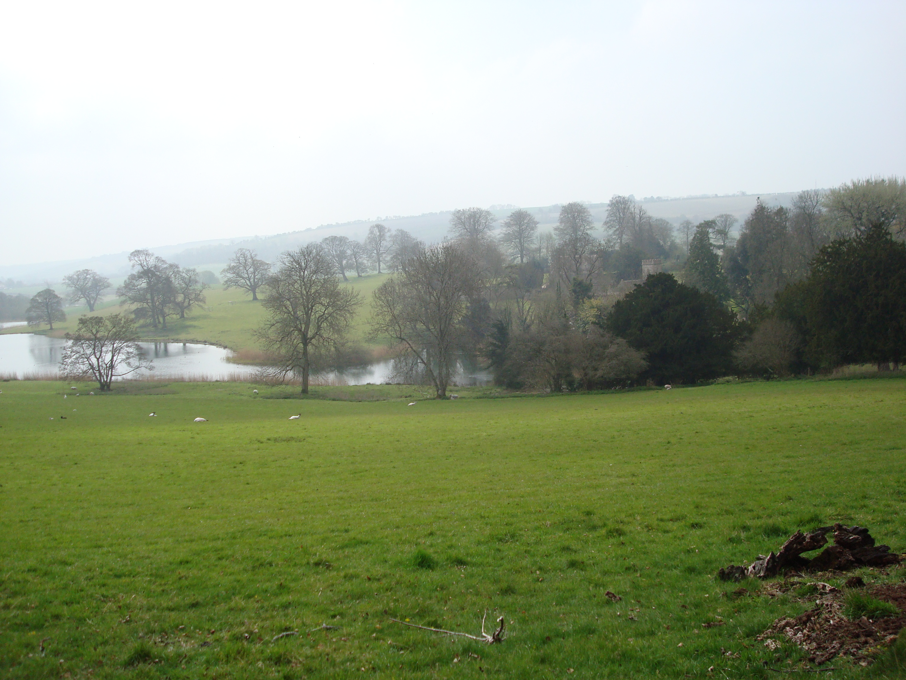
Holcombe Wood Images

Images are sourced within 2km of 50.827951/-2.459833 or Grid Reference ST6703. Thanks to Geograph Open Source API. All images are credited.

ROC post (Nuclear Monitoring Post) near Buckland Newton For further information, see <span class="nowrap"><a title="http://www.subbrit.org.uk/rsg/roc/db/988719866.003001.html" rel="nofollow ugc noopener" href="http://www.subbrit.org.uk/rsg/roc/db/988719866.003001.html">Link</a><img style="margin-left:2px;" alt="External link" title="External link - shift click to open in new window" src="https://s1.geograph.org.uk/img/external.png" width="10" height="10"/></span>
ROC post (Nuclear Monitoring Post) near Buckland Newton
For further information, see LinkExternal link
Arable farmland near Minterne Parva
Cock Fighting Ring and Preaching Cross, Minterne Parva 15th Century remains of waystone cross near Minterne Parva Farm.
Cock Fighting Ring and Preaching Cross, Minterne Parva
15th Century remains of waystone cross near Minterne Parva Farm.
Farmland west of Buckland Newton
Benchmark on New Barn, Ripp's Lane, Alton Pancras Ordnance Survey benchmark, described on database at <span class="nowrap"><a title="http://www.bench-marks.org.uk/bm74171" rel="nofollow ugc noopener" href="http://www.bench-marks.org.uk/bm74171">Link</a><img style="margin-left:2px;" alt="External link" title="External link - shift click to open in new window" src="https://s1.geograph.org.uk/img/external.png" width="10" height="10"/></span>. For context photo, see <a href="https://www.geograph.org.uk/photo/4863434">ST6801 : New Barn, Ripp's Lane, Alton Pancras</a>.
Benchmark on New Barn, Ripp's Lane, Alton Pancras
Ordnance Survey benchmark, described on database at LinkExternal link. For context photo, see ST6801 : New Barn, Ripp's Lane, Alton Pancras.
New Barn, Ripp's Lane, Alton Pancras There is an Ordnance Survey benchmark on this building. See <a title="https://www.geograph.org.uk/photo/4863431" href="https://www.geograph.org.uk/photo/4863431">Link</a>.
New Barn, Ripp's Lane, Alton Pancras
There is an Ordnance Survey benchmark on this building. See Link.
Near Navvy Shovel and Rake Bottom Dorset has some wonderful names!
Near Navvy Shovel and Rake Bottom
Dorset has some wonderful names!
Wessex Ridgeway near Alton Pancras
Fiddle Wood
Fiddle Wood
Giant Hill, Cerne Abbas There is an old settlement on the top of the hill.
Giant Hill, Cerne Abbas
There is an old settlement on the top of the hill.
Minterne House and Gardens Minterne House (set back from the main road along a curved drive) is the ancestral home of the Digby family. The estate is a member of The Historic Houses Association.
Minterne House and Gardens
Minterne House (set back from the main road along a curved drive) is the ancestral home of the Digby family. The estate is a member of The Historic Houses Association.
Minterne House, Dorset
Minterne House and Gardens
Minterne Himalayan gardens Landscaped in the manner of Capability Brown the gardens are laid out in a horseshoe below Minterne House and contain a unique collection of Himalayan Rhododendrons and Azaleas, with Spring bulbs, Cherries, Maples and many fine and rare trees.
Minterne Himalayan gardens
Landscaped in the manner of Capability Brown the gardens are laid out in a horseshoe below Minterne House and contain a unique collection of Himalayan Rhododendrons and Azaleas, with Spring bulbs, Cherries, Maples and many fine and rare trees.
Minterne Gardens Weir View of the weir and above, in the distance, a small bridge; part of a chain of small lakes, waterfalls and streams.
Minterne Gardens Weir
View of the weir and above, in the distance, a small bridge; part of a chain of small lakes, waterfalls and streams.
Minterne Gardens The Honourable Robert Digby had a practical interest in bridge building. One of the two bridges which he built himself can be seen in the garden at Minterne. Named “Eleanor’s Bridge” after his wife, it was begun in 1790 and is a single arch spanning the stream that flows down the valley below the house.
Minterne Gardens
The Honourable Robert Digby had a practical interest in bridge building. One of the two bridges which he built himself can be seen in the garden at Minterne. Named “Eleanor’s Bridge” after his wife, it was begun in 1790 and is a single arch spanning the stream that flows down the valley below the house.
Minterne Gardens: Exotic plants by a small weir To the left of the weir can be seen an American skunk-cabbage (Lysichiton americanus) with large yellow flowers. The plant is called skunk cabbage because of the distinctive unpleasant "skunky" odour that it emits when it blooms. 
This plant is very commonly grown in bog gardens and is widely available from garden centres and nurseries. Most plants in the wild probably arise from garden material being dumped, as colonies quickly outgrow their space. It is likely that some wild populations have become established from seed dispersed from nearby gardens. 
With its very large leaves and rapid rate of spread, it can out-compete native plants and cause extensive damage locally. Given the popularity of this plant in gardens and its continued introduction into the wild, it is likely to increase.
Minterne Gardens: Exotic plants by a small weir
To the left of the weir can be seen an American skunk-cabbage (Lysichiton americanus) with large yellow flowers. The plant is called skunk cabbage because of the distinctive unpleasant "skunky" odour that it emits when it blooms. This plant is very commonly grown in bog gardens and is widely available from garden centres and nurseries. Most plants in the wild probably arise from garden material being dumped, as colonies quickly outgrow their space. It is likely that some wild populations have become established from seed dispersed from nearby gardens. With its very large leaves and rapid rate of spread, it can out-compete native plants and cause extensive damage locally. Given the popularity of this plant in gardens and its continued introduction into the wild, it is likely to increase.
The Dorset Giant, Cerne Abbas
Show me another place!

Holcombe Wood is located at Grid Ref: ST6703 (Lat: 50.827951, Lng: -2.459833)

Unitary Authority: Dorset

Police Authority: Dorset

What 3 Words

///earmarked.damp.unheated. Near Maiden Newton, Dorset

Related Wikis

Watts Hill

Watts Hill is a hill in the Dorset Downs and one of the highest in the county of Dorset, England. The height of the summit is variously recorded as 261...

Cerne Abbas Giant

The Cerne Abbas Giant is a hill figure near the village of Cerne Abbas in Dorset, England. Being 55 metres (180 ft) high, it depicts a standing nude male...

Woolford's Water

Woolford's Water is a village in Dorset, England.

Up Cerne

Up Cerne is a hamlet lying to the west of the River Cerne between Minterne Magna and Cerne Abbas in Dorset, England. It was the birthplace of John Mount...

Have you been to Holcombe Wood?

Leave your review of Holcombe Wood below (or comments, questions and feedback).