Haieden Green Plantation
Wood, Forest in Gloucestershire Forest of Dean
England
Haieden Green Plantation
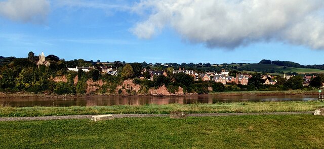
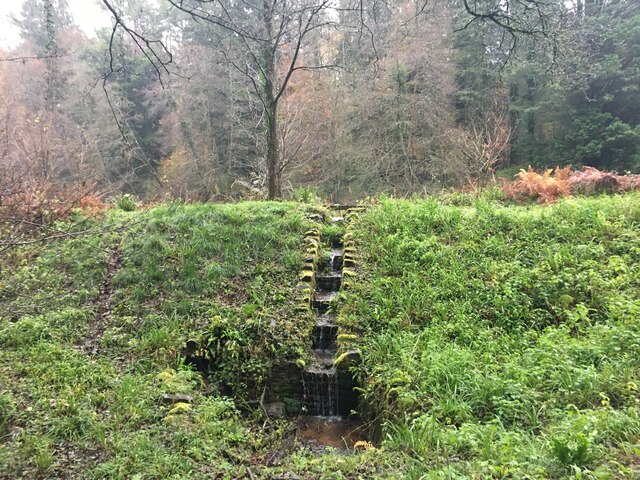
Haieden Green Plantation is a picturesque woodland located in Gloucestershire, England. Spread over an area of approximately 100 acres, it is nestled amidst the rolling hills and verdant landscapes of the region. The plantation is renowned for its diverse range of trees and plants, making it a haven for nature enthusiasts and wildlife lovers.
The woodland primarily consists of native species such as oak, beech, and ash, which create a dense canopy, providing shade and shelter to a wide variety of flora and fauna. The forest floor is adorned with a carpet of bluebells and wildflowers during the spring season, adding to the enchanting beauty of the plantation.
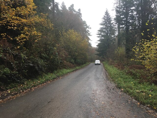
Haieden Green Plantation offers numerous walking trails and footpaths, allowing visitors to explore its natural wonders at their own pace. The tranquil atmosphere and breathtaking views make it a popular destination for hikers, joggers, and dog walkers.
The plantation also serves as an important habitat for various wildlife species. It is home to a diverse range of birds, including woodpeckers, owls, and thrushes, which can often be heard chirping and singing amidst the trees. Other inhabitants include squirrels, badgers, and foxes, adding to the rich biodiversity of the area.
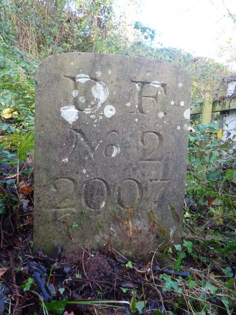
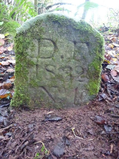
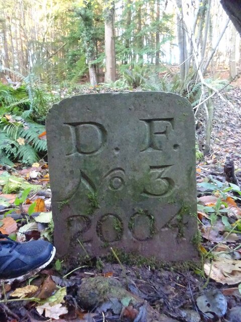
In addition to its natural beauty, Haieden Green Plantation also has historical significance. It was once part of a larger estate and has witnessed centuries of human activity, including timber harvesting and charcoal production.
Overall, Haieden Green Plantation in Gloucestershire is a tranquil and captivating woodland, offering visitors an opportunity to immerse themselves in the beauty of nature and experience the rich history of the area.
If you have any feedback on the listing, please let us know in the comments section below.
Haieden Green Plantation Images
Images are sourced within 2km of 51.791059/-2.4705962 or Grid Reference SO6710. Thanks to Geograph Open Source API. All images are credited.


Haieden Green Plantation is located at Grid Ref: SO6710 (Lat: 51.791059, Lng: -2.4705962)
Administrative County: Gloucestershire
District: Forest of Dean
Police Authority: Gloucestershire
What 3 Words
///deputy.tucked.gaps. Near Cinderford, Gloucestershire
Nearby Locations
Related Wikis

Bullo Cross Halt railway station
Bullo Cross Halt railway station is a disused railway station opened by the former Bullo Pill Railway, later known as the (Great Western Railway) Forest...

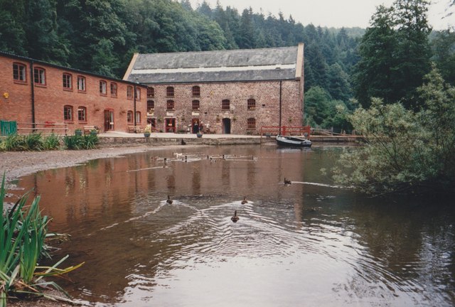
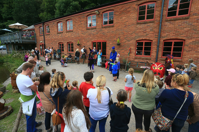
Dean Heritage Centre
The Dean Heritage Centre is located in the valley of Soudley, Gloucestershire, England in the Forest of Dean and exists to record and preserve the social...
Ruddle Road Halt railway station
Ruddle Road Halt railway station was a minor station on the Gloucester-Newport Railway on the outskirts of Newnham, Gloucestershire. It was also the start...
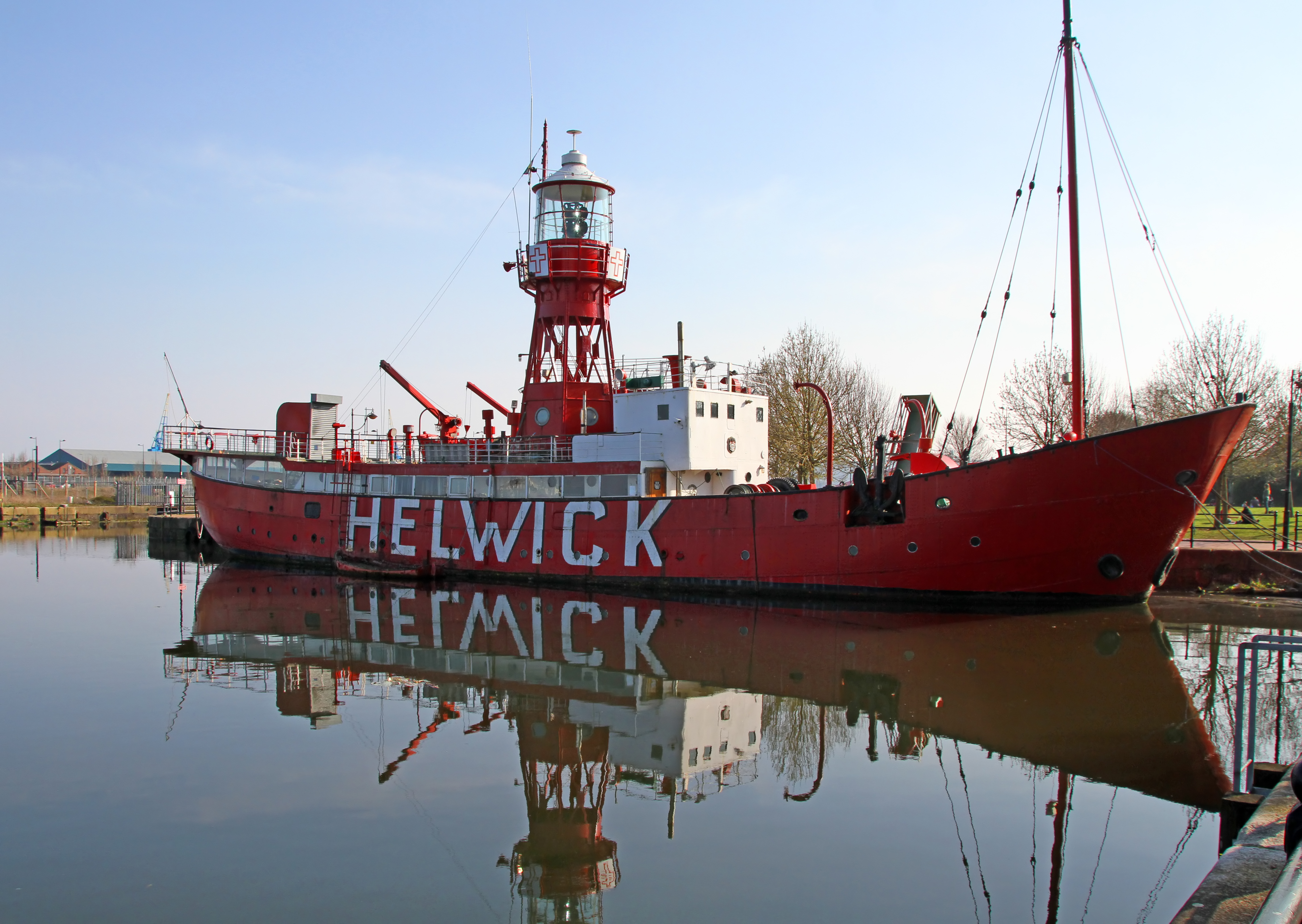
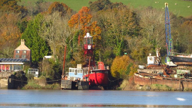
Lightship 2000
Lightship 2000 (Welsh: Goleulong 2000) was a restored old red lightvessel with a cafe and chapel on board situated in Cardiff Bay. During the redevelopment...
Nearby Amenities
Located within 500m of 51.791059,-2.4705962Have you been to Haieden Green Plantation?
Leave your review of Haieden Green Plantation below (or comments, questions and feedback).