Travellers Wood

Wood, Forest in Somerset Mendip

England

Travellers Wood

Car parked at the start of Fental Lane, Ukrainian flag on fence
Car parked at the start of Fental Lane, Ukrainian flag on fence Credit: Rob Purvis

Travellers Wood, located in Somerset, England, is a stunning forest that stretches across an area of approximately 100 acres. Nestled amidst the picturesque countryside, this wood offers a tranquil and serene escape from the bustling city life. The wood is easily accessible, situated near the village of Croscombe, just a short distance from the city of Wells.

Travellers Wood is renowned for its diverse range of tree species, including oak, beech, and ash, which create a beautiful and varied landscape. The wood is also home to various wildlife, such as deer, badgers, and a plethora of bird species, making it a haven for nature enthusiasts and photographers alike.

The forest offers a network of well-maintained walking trails, providing visitors with an opportunity to explore the natural beauty and immerse themselves in the peaceful surroundings. The paths wind through the wood, allowing visitors to witness the changing seasons and the vibrant colors that accompany them.

Travellers Wood is a popular destination for outdoor activities, such as picnicking, camping, and wildlife spotting. The wood has designated areas for camping, complete with basic amenities, ensuring a comfortable stay for those who wish to spend a night under the starry sky.

In addition to its natural beauty, Travellers Wood also holds historical significance. It is believed that the wood was once a meeting place for travellers during medieval times, hence the name. Today, the wood serves as a peaceful retreat for locals and tourists alike, offering a tranquil and scenic escape from the everyday hustle and bustle.

If you have any feedback on the listing, please let us know in the comments section below.

Travellers Wood Images

Images are sourced within 2km of 51.205868/-2.4648193 or Grid Reference ST6745. Thanks to Geograph Open Source API. All images are credited.
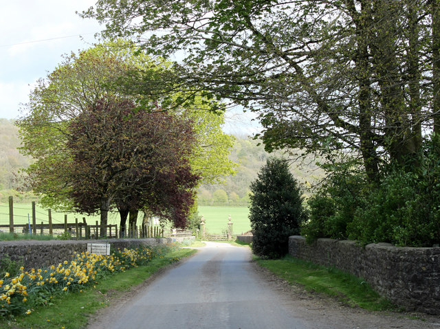
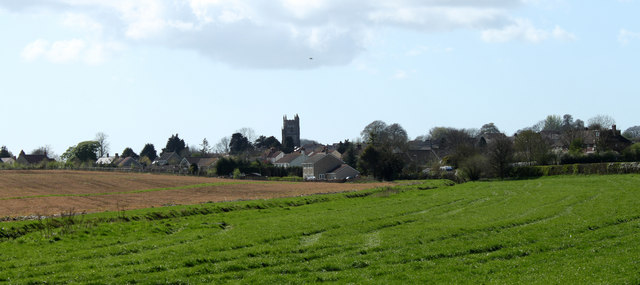
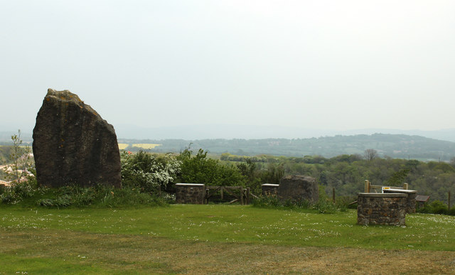
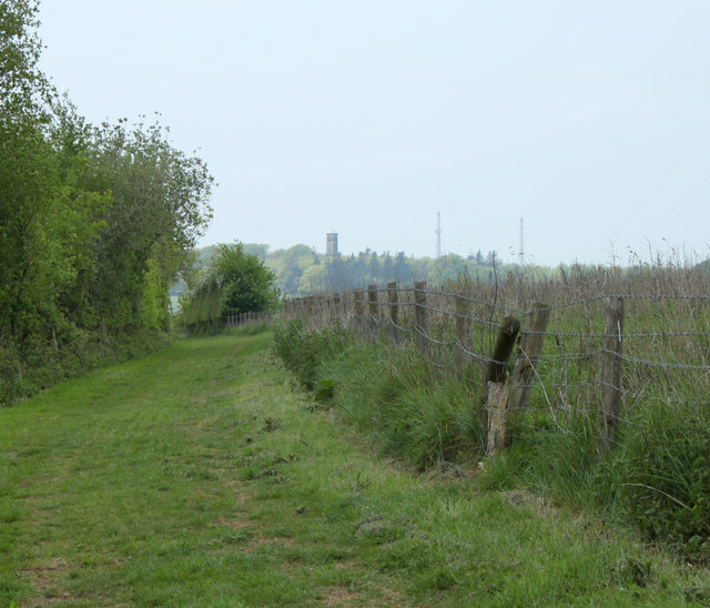
Car parked at the start of Fental Lane, Ukrainian flag on fence
Tadhill House Farm buildings
Old Milepost by A361, village of Dean The Milepost is located on the grass verge near houses on the South of the road.  Parish of Cranmore (Mendip District). Cast iron post, plated iron casting design, erected by the Shepton Mallet turnpike trust in the 19th Century. It has been broken and welded back together (on back of top "BUCI") and repositioned. A photograph before the repainting can be found here: <a title="https://www.geograph.org.uk/photo/6072295" href="https://www.geograph.org.uk/photo/6072295">Link</a> 

Inscription reads:-  
SHEPTON / MALLET / 4 : : FROME / 8 : : LONDON / 111 

Milestone Society National ID: SO_SMFR04
Old Milepost by A361, village of Dean
The Milepost is located on the grass verge near houses on the South of the road.  Parish of Cranmore (Mendip District). Cast iron post, plated iron casting design, erected by the Shepton Mallet turnpike trust in the 19th Century. It has been broken and welded back together (on back of top "BUCI") and repositioned. A photograph before the repainting can be found here: Link  Inscription reads:- SHEPTON / MALLET / 4 : : FROME / 8 : : LONDON / 111 Milestone Society National ID: SO_SMFR04
Old Milestone by Old Wells Road, near Tadhill House Farm The Milestone is located on grass verge on the South of the road.  Parish of Downhead (Mendip District). Stone post (plate lost), Frome square iron plate design, erected by the Frome turnpike trust in the 18th Century, plate repainted by MSS summer 2009. An earlier photograph can be found here: <a title="https://www.geograph.org.uk/photo/6037568" href="https://www.geograph.org.uk/photo/6037568">Link</a> 

Inscription reads:-  
Frome / 6 / Wells / 9 

Grade II listed. List Entry Number: 1345266 <span class="nowrap"><a title="https://historicengland.org.uk/listing/the-list/list-entry/1345266" rel="nofollow ugc noopener" href="https://historicengland.org.uk/listing/the-list/list-entry/1345266">Link</a><img style="margin-left:2px;" alt="External link" title="External link - shift click to open in new window" src="https://s1.geograph.org.uk/img/external.png" width="10" height="10"/></span> 

Milestone Society National ID: SO_FRWL06
Old Milestone by Old Wells Road, near Tadhill House Farm
The Milestone is located on grass verge on the South of the road.  Parish of Downhead (Mendip District). Stone post (plate lost), Frome square iron plate design, erected by the Frome turnpike trust in the 18th Century, plate repainted by MSS summer 2009. An earlier photograph can be found here: Link Inscription reads:- Frome / 6 / Wells / 9 Grade II listed. List Entry Number: 1345266 LinkExternal link Milestone Society National ID: SO_FRWL06
Ball Lane, not suitable for lorries
2011 : The former Church of St.James, East Cranmore "The origin of the name Cranmore comes from the Old English Crane Mere meaning 'Cranes/herons' pool'." 
Copied from <span class="nowrap"><a title="http://www.cranmore.org/" rel="nofollow ugc noopener" href="http://www.cranmore.org/">Link</a><img style="margin-left:2px;" alt="External link" title="External link - shift click to open in new window" src="https://s1.geograph.org.uk/img/external.png" width="10" height="10"/></span> a most interesting website.

Seen from the other side in <a href="https://www.geograph.org.uk/photo/485732">ST6843 : Former church at East Cranmore</a>
2011 : The former Church of St.James, East Cranmore
"The origin of the name Cranmore comes from the Old English Crane Mere meaning 'Cranes/herons' pool'." Copied from LinkExternal link a most interesting website. Seen from the other side in ST6843 : Former church at East Cranmore
2011 : Western Farm, Cranmore On the road between Cranmore and East Cranmore.
Farm land and buildings currently for sale.
2011 : Western Farm, Cranmore
On the road between Cranmore and East Cranmore. Farm land and buildings currently for sale.
2011 : Quarry Way Business Park, For a list of its denizens see the board.
2011 : Quarry Way Business Park,
For a list of its denizens see the board.
2011 : Road to Wellington Farm, East Cranmore This is within half a mile of one of the largest quarries on the Mendips yet there is no sight and very little sound of it.
2011 : Road to Wellington Farm, East Cranmore
This is within half a mile of one of the largest quarries on the Mendips yet there is no sight and very little sound of it.
2011 : Main road through East  Cranmore The gateway on the right gives access to <a href="https://www.geograph.org.uk/photo/2357732">ST6843 : 2011 : The former Church of St.James, East Cranmore</a>
A little about East Cranmore in <span class="nowrap"><a title="http://www.francisfrith.com/east-cranmore/#utmcsr=bing.com&utmcmd=referral&utmccn=bing.com" rel="nofollow ugc noopener" href="http://www.francisfrith.com/east-cranmore/#utmcsr=bing.com&utmcmd=referral&utmccn=bing.com">Link</a><img style="margin-left:2px;" alt="External link" title="External link - shift click to open in new window" src="https://s1.geograph.org.uk/img/external.png" width="10" height="10"/></span>
2011 : Main road through East Cranmore
The gateway on the right gives access to ST6843 : 2011 : The former Church of St.James, East Cranmore A little about East Cranmore in LinkExternal link
2011 : Fields and view from the lane east of Cranmore Cranmore Tower [<a href="https://www.geograph.org.uk/gridref/ST6745">ST6745</a>] lifts its head above surrounding trees on the horizon.
A small beech wood begins showing its leaves, the foreground field looks a little sad, not sure what crop it contains.
2011 : Fields and view from the lane east of Cranmore
Cranmore Tower [ST6745] lifts its head above surrounding trees on the horizon. A small beech wood begins showing its leaves, the foreground field looks a little sad, not sure what crop it contains.
2011 : Over the fields to Cranmore Seen from the road between Cranmore and East Cranmore.
The Church of St. Bartholomew is outstanding.
2011 : Over the fields to Cranmore
Seen from the road between Cranmore and East Cranmore. The Church of St. Bartholomew is outstanding.
2011 : Fields near Western Farm, Cranmore Looking north west from the road between Cranmore and East Cranmore.
2011 : Fields near Western Farm, Cranmore
Looking north west from the road between Cranmore and East Cranmore.
2011 : Fields and hedgerows near Western Farm Seen from the road to Cranmore.
Cattle in the next field enjoy the new spring grass. Care must be taken to ensure they do not enjoy too much of it and suffer from the bloat, a condition in which fermentation gases build up in the stomach, usually painful, sometimes fatal if not treated.
These gases are rich in methane, the condition should not be relieved in the presence of a naked flame or other source of ignition, the results can be explosive.
For more info visit: <span class="nowrap"><a title="http://www1.agric.gov.ab.ca/%24Department/deptdocs.nsf/all/agdex6769" rel="nofollow ugc noopener" href="http://www1.agric.gov.ab.ca/%24Department/deptdocs.nsf/all/agdex6769">Link</a><img style="margin-left:2px;" alt="External link" title="External link - shift click to open in new window" src="https://s1.geograph.org.uk/img/external.png" width="10" height="10"/></span>
2011 : Fields and hedgerows near Western Farm
Seen from the road to Cranmore. Cattle in the next field enjoy the new spring grass. Care must be taken to ensure they do not enjoy too much of it and suffer from the bloat, a condition in which fermentation gases build up in the stomach, usually painful, sometimes fatal if not treated. These gases are rich in methane, the condition should not be relieved in the presence of a naked flame or other source of ignition, the results can be explosive. For more info visit: LinkExternal link
2011 : A gathering of toposcopes At a viewpoint south west of Merehead Quarry. On a day not suitable for long distance viewing.

Since writing the above have wondered what the collective noun for "toposcope" would be - a panorama perhaps?
2011 : A gathering of toposcopes
At a viewpoint south west of Merehead Quarry. On a day not suitable for long distance viewing. Since writing the above have wondered what the collective noun for "toposcope" would be - a panorama perhaps?
2011 : Warning sign, Merehead Quarry On a public footpath near the top of a cliff.
2011 : Warning sign, Merehead Quarry
On a public footpath near the top of a cliff.
2011 : Footpath and bridleway near Merehead Quarry Follows the edge of the quarry which is well protected.
Cranmore Tower appears on the hill in front <a href="https://www.geograph.org.uk/gridref/ST6745">ST6745</a>
2011 : Footpath and bridleway near Merehead Quarry
Follows the edge of the quarry which is well protected. Cranmore Tower appears on the hill in front ST6745
2011 : Minor road entering Waterlip A small business park is along the road opposite on the site of an old quarry.
2011 : Minor road entering Waterlip
A small business park is along the road opposite on the site of an old quarry.
Show me another place!

Travellers Wood is located at Grid Ref: ST6745 (Lat: 51.205868, Lng: -2.4648193)

Administrative County: Somerset

District: Mendip

Police Authority: Avon and Somerset

What 3 Words

///crunched.stolen.fully. Near Shepton Mallet, Somerset

Related Wikis

Cranmore Tower

The Cranmore Tower is a 45 metres (148 ft) tall 19th century folly in the parish of Cranmore, Somerset, England. The site is 280 metres (919 ft) above...

Dinies Camp

Dinies Camp is a univallate Iron Age hill fort enclosure in the Mendip district of Somerset, England. The hill fort is situated approximately 1 mile (1...

Moon's Hill Quarry

Moon's Hill Quarry (grid reference ST665460) is a 3.42 hectare geological Site of Special Scientific Interest at Stoke St Michael in Somerset, notified...

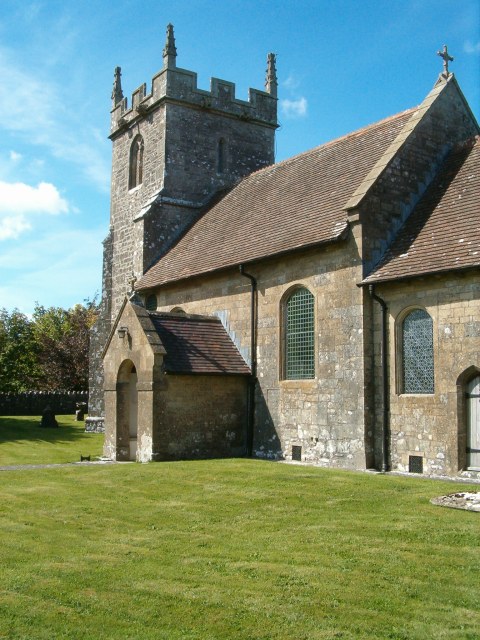
St James' Church, East Cranmore

St James' Church is a former Church of England church in East Cranmore, Somerset, England. Designed by Thomas Henry Wyatt, it was built in 1846 to replace...

Downhead

Downhead is a village and civil parish close to Leigh-on-Mendip and 5 miles (8 km) north east of Shepton Mallet, in the Mendip district of Somerset, England...

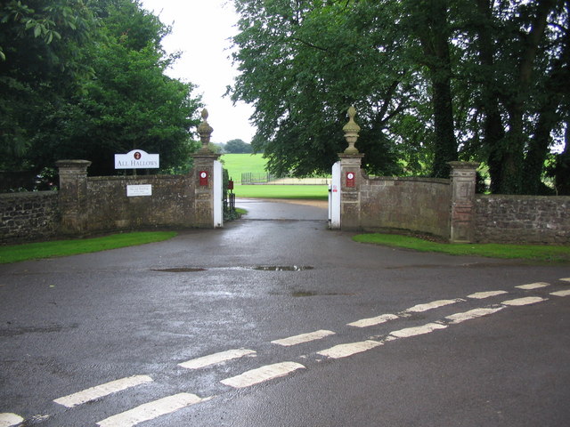
All Hallows Preparatory School

All Hallows School is a non-selective co-educational prep school that provides day and boarding facilities. A Christian School in the Catholic tradition...

Church of All Saints, Downhead

The Anglican Church Of All Saints in Downhead, within the English county of Somerset, dates from the 14th century. It is a Grade II* listed building.The...

Stoke St Michael

Stoke St Michael is a village and civil parish on the Mendip Hills 4 miles (6.4 km) north east of Shepton Mallet, and 8 miles (12.9 km) west of Frome,...

Related Videos

EAST SOMERSET RAILWAY: AUGUST BANK HOLIDAY 1983 with 92203 & 47493 (NO SOUND)

A short silent movie of the East Somerset Railway (ESR) with steam trains in action on August Bank Holiday 29th August 1983.

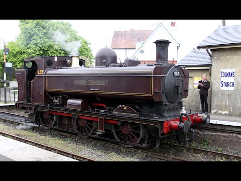
EAST SOMERSET RAILWAY:4555 plus L92/dmu for May Bank Holiday

This is a video of the East Somerset Railway in the spring of 2022.The sequences containing Churchward 45xx Class Small ...

10 May 2023 Brenda's Birthday

A trip to the East Somerset Railway.

Nearby Amenities

Located within 500m of 51.205868,-2.4648193
Cranmore Tower
Access: customers
Construction: freestanding
Construction Date: 1860
Height: 40
Man Made: tower
Tower Type: observation
Website: http://www.cranmoretower.co.uk/
Wikidata: Q5182227
Lat/Long: 51.2035008/-2.4642501
Man Made: tower
Note: O2 Telecommunication tower
Tower Type: communication
Lat/Long: 51.2039405/-2.4624728
Building: yes
Lat/Long: 51.2083897/-2.4673885
Man Made: tower
Note: O2 Telecommunication tower
Tower Type: communication
Lat/Long: 51.2033845/-2.4624904
The data included in this document is from www.openstreetmap.org. The data is made available under ODbL.

Have you been to Travellers Wood?

Leave your review of Travellers Wood below (or comments, questions and feedback).