Oxleasow Rough
Wood, Forest in Shropshire
England
Oxleasow Rough
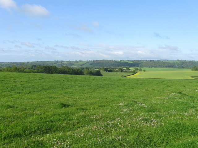
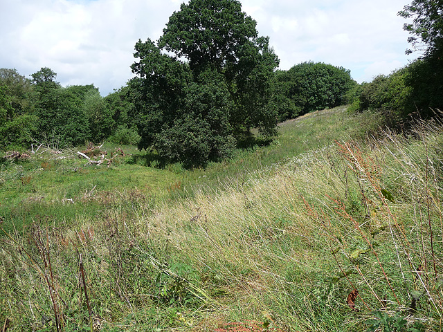
Oxleasow Rough is a picturesque woodland located in the county of Shropshire, England. This enchanting forest is situated in the heart of the county, just a short distance from the bustling market town of Bridgnorth. Covering an area of approximately 200 acres, Oxleasow Rough is a haven for nature enthusiasts and those seeking a peaceful retreat.
The woodland is primarily composed of a mix of deciduous and evergreen trees, creating a diverse and vibrant landscape throughout the year. Ancient oak trees can be found scattered across the forest, some of which are believed to be several hundred years old, adding a sense of history and grandeur to the area.
Oxleasow Rough is also home to a wide variety of wildlife, making it a popular spot for birdwatchers and nature photographers. Visitors may catch a glimpse of woodland birds such as woodpeckers, owls, and various species of songbirds. Additionally, the forest is teeming with small mammals, including squirrels, foxes, and badgers.
The woodland boasts a network of well-maintained trails, allowing visitors to explore its many delights. Whether it's a leisurely stroll or a more challenging hike, there is a path to suit all abilities. Along the way, visitors can enjoy breathtaking views of the surrounding countryside and may even stumble upon hidden streams and small waterfalls.
Oxleasow Rough offers a tranquil escape from the noise and bustle of everyday life. Its natural beauty and rich biodiversity make it a true gem in the Shropshire countryside, attracting visitors from near and far.
If you have any feedback on the listing, please let us know in the comments section below.
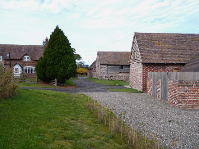
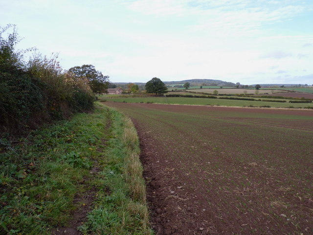
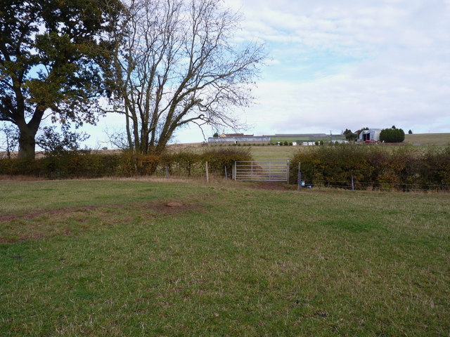
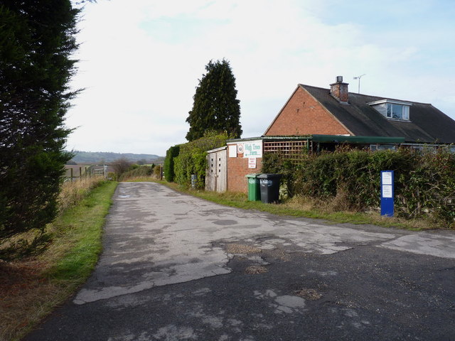
Oxleasow Rough Images
Images are sourced within 2km of 52.55259/-2.4818025 or Grid Reference SO6795. Thanks to Geograph Open Source API. All images are credited.


Oxleasow Rough is located at Grid Ref: SO6795 (Lat: 52.55259, Lng: -2.4818025)
Unitary Authority: Shropshire
Police Authority: West Mercia
What 3 Words
///teacher.masks.decisive. Near Bridgnorth, Shropshire
Nearby Locations
Related Wikis

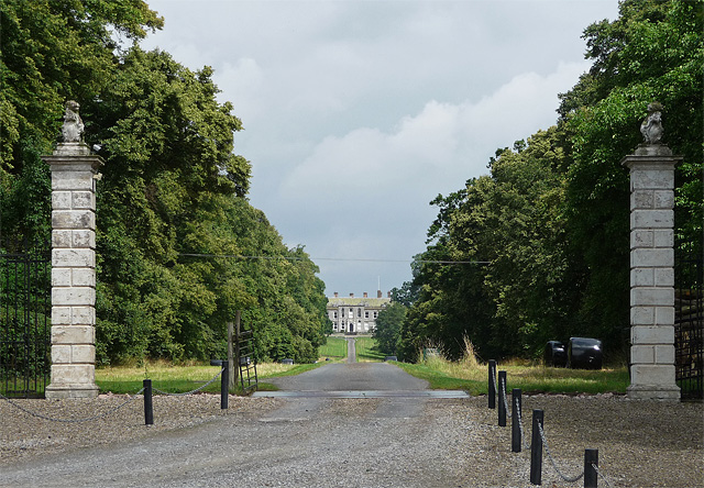
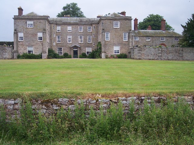
Aldenham Park, Morville
Aldenham Park, also known as Aldenham Hall, is a late 17th-century country house in Morville, near Bridgnorth, Shropshire, England which stands in 12 hectares...
Morville, Shropshire
Morville is a village and civil parish about 3 miles west of Bridgnorth, in the Shropshire district, in the county of Shropshire, England. In 2011, the...
Morville Hall
Morville Hall is a grade I listed country house and gardens in the care of the National Trust in the county of Shropshire, England, United Kingdom. Morville...

Morville Priory
Morville Priory was a small Benedictine monastery in Shropshire, England, a cell of Shrewsbury Abbey. == Location == Morville today is a hamlet on the...

Aston Eyre
Aston Eyre is a hamlet and civil parish in Shropshire, England, about four miles west of Bridgnorth. The area has a significant amount of green space....

Aston Eyre Hall
Aston Eyre Hall is an unfortified stone manor house at Aston Eyre near Bridgnorth in the English county of Shropshire, United Kingdom. It is a Grade II...

Tasley, Shropshire
Tasley is a village and civil parish in Shropshire, England.It is located to the immediate west of the town of Bridgnorth, and the A458 road passes through...

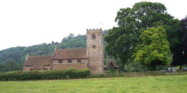
St Michael's Church, Upton Cressett
St Michael's Church, Upton Cressett, is a redundant Anglican church. It stands on a remote hillside adjacent to Upton Cressett Hall, some 5 km west of...
Have you been to Oxleasow Rough?
Leave your review of Oxleasow Rough below (or comments, questions and feedback).