Vicarage Wood

Wood, Forest in Worcestershire Malvern Hills

England

Vicarage Wood

Grazing near Archfield Farm
Grazing near Archfield Farm Credit: JThomas

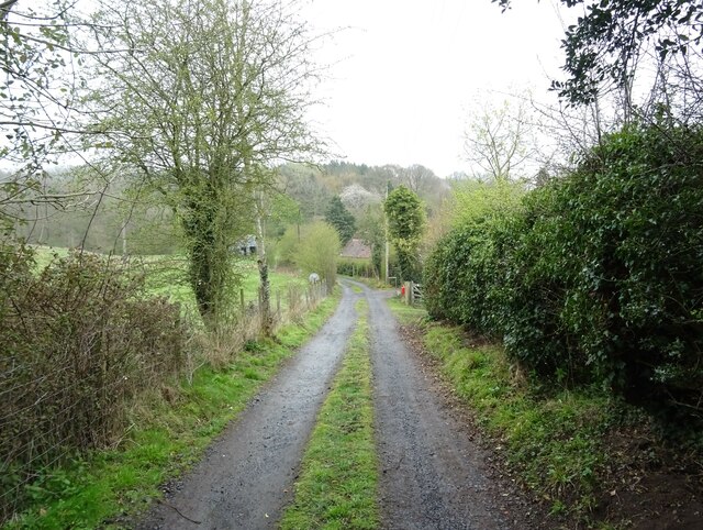
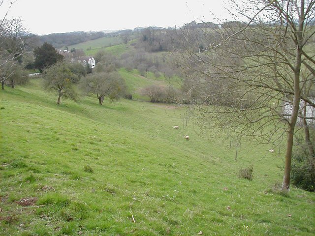
Vicarage Wood is a picturesque woodland located in Worcestershire, England. Situated within the larger Forest of Worcester, it covers an area of approximately [insert size] and is a popular destination for nature lovers and outdoor enthusiasts.

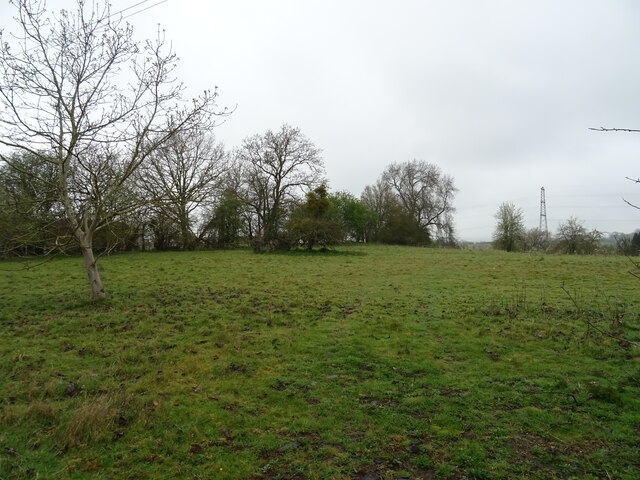
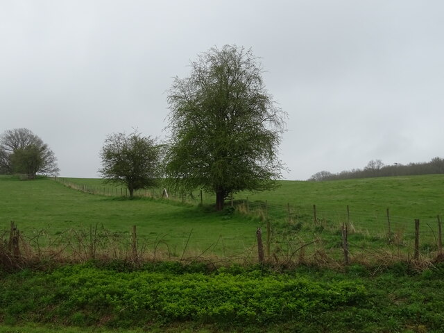
The woodland is characterized by its dense canopy of native trees, including oak, birch, and beech, which create a tranquil and serene atmosphere. The forest floor is covered with a rich carpet of moss, ferns, and wildflowers, providing a vibrant burst of color during the spring and summer months.

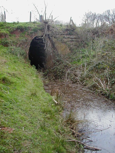
Vicarage Wood is home to a diverse range of wildlife, making it an important habitat for conservation. Visitors may spot a variety of bird species, such as woodpeckers, owls, and thrushes, as well as small mammals like foxes, badgers, and squirrels. The woodland also supports a thriving population of insects and butterflies, adding to its ecological significance.

The wood offers various recreational activities for visitors to enjoy. There are well-maintained walking trails that meander through the forest, allowing visitors to explore its beauty at their own pace. The woodland is also a popular spot for picnics, with designated areas equipped with benches and tables.

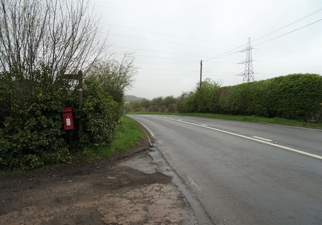
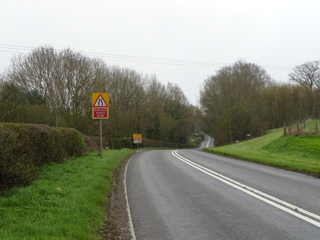
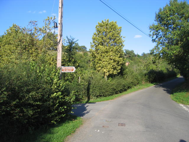
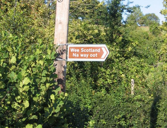
Vicarage Wood is easily accessible by car, with ample parking available nearby. It is open to the public year-round, offering different experiences in each season. Whether it's a leisurely stroll, birdwatching, or simply immersing oneself in the tranquility of nature, Vicarage Wood provides a peaceful escape from the bustle of everyday life.

If you have any feedback on the listing, please let us know in the comments section below.

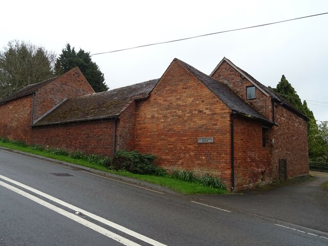
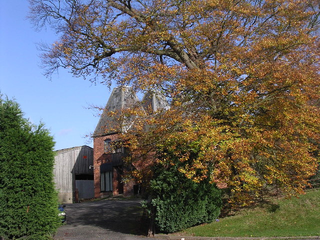
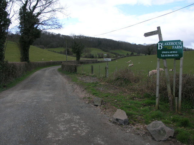
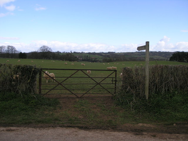
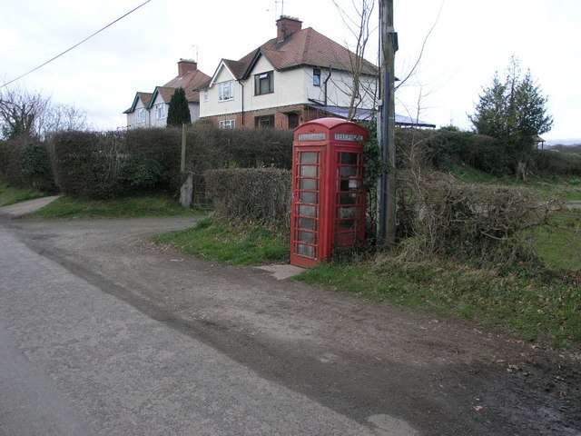
Vicarage Wood Images

Images are sourced within 2km of 52.318842/-2.4808282 or Grid Reference SO6769. Thanks to Geograph Open Source API. All images are credited.

Grazing near Archfield Farm
Fields near Southnett Farm
A456, Broombank Towards Bewdley.
A456, Broombank
Towards Bewdley.
Bend in the A456 towards Bewdley
Track (footpath), Footrid
Whatehall Farm
Whatehall Farm
Elizabeth II postbox on the A456, Broombank
Eastham church Eastham church in the Teme valley is located in a farmyard. Although the tower is brick, the body of the church is made from locally quarried tufa.
Eastham church
Eastham church in the Teme valley is located in a farmyard. Although the tower is brick, the body of the church is made from locally quarried tufa.
Farm with hop barns: Teme Valley The lane to Woodston Manor.
Farm with hop barns: Teme Valley
The lane to Woodston Manor.
Doddenhill Farm
Doddenhill Farm
Bridleway to Eastham Grange Hiding away somewhere on this hillside is a caravan park.
Bridleway to Eastham Grange
Hiding away somewhere on this hillside is a caravan park.
Gate and Sheep This footpath follows the river valley on its way to Eastham.
Gate and Sheep
This footpath follows the river valley on its way to Eastham.
Phone and Footpath The footpath leads to Eastham the phonebox could potentially lead to anywhere in the world.
Phone and Footpath
The footpath leads to Eastham the phonebox could potentially lead to anywhere in the world.
Roadside pasture On the right is one of several pools found in the area.
Roadside pasture
On the right is one of several pools found in the area.
Pool This end of the pool looks much the same as the others nearby.
Pool
This end of the pool looks much the same as the others nearby.
Southnet Tunnel portal ... however the end of the pool curls around the end of a little ridge, narrows and vanishes into the unusually tall portal of Southnet Tunnel, part of the ill-fated Leominster Canal of which only about half was built, swallowing all the shareholders' funds. <span class="nowrap"><a title="http://www.lostlabours.co.uk/canal/index.htm" rel="nofollow ugc noopener" href="http://www.lostlabours.co.uk/canal/index.htm">Link</a><img style="margin-left:2px;" alt="External link" title="External link - shift click to open in new window" src="https://s1.geograph.org.uk/img/external.png" width="10" height="10"/></span>
Southnet Tunnel portal
... however the end of the pool curls around the end of a little ridge, narrows and vanishes into the unusually tall portal of Southnet Tunnel, part of the ill-fated Leominster Canal of which only about half was built, swallowing all the shareholders' funds. LinkExternal link
Approaching Frith Common Approaching Frith Common from the west.  The <a href="https://www.geograph.org.uk/photo/235136">SO6869 : Roadsign near Frith Common</a> is interesting!
Approaching Frith Common
Approaching Frith Common from the west. The SO6869 : Roadsign near Frith Common is interesting!
Roadsign near Frith Common An unusual road sign pointing down a dead end lane from the road junction <a href="https://www.geograph.org.uk/photo/235131">SO6869 : Approaching Frith Common</a>.
Roadsign near Frith Common
An unusual road sign pointing down a dead end lane from the road junction SO6869 : Approaching Frith Common.
Show me another place!

Vicarage Wood is located at Grid Ref: SO6769 (Lat: 52.318842, Lng: -2.4808282)

Administrative County: Worcestershire

District: Malvern Hills

Police Authority: West Mercia

What 3 Words

///forgiven.lighters.scout. Near Cleobury Mortimer, Shropshire

Nearby Locations

Vicarage Wood

Related Wikis

Lindridge

Lindridge is a village and civil parish in the Malvern Hills District in the north of the county of Worcestershire, England, near the Shropshire border...

Eastham, Worcestershire

Eastham is a village and civil parish in the Malvern Hills District in the county of Worcestershire, England. It had a population of 254 in 2021.Eastham...
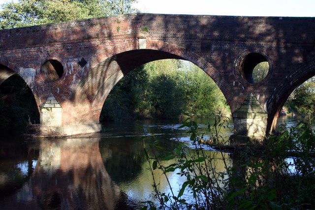
Eastham bridge

Eastham bridge was a Grade II listed bridge over the River Teme at Eastham, near Tenbury Wells, Worcestershire, England. Built as a toll bridge in 1793...

Marlbrook, Shropshire

Marlbrook is a hamlet in Shropshire, England, right on the border with Worcestershire. == References == The geographic coordinates are from the Ordnance...

Frith Common

Frith Common is a village in Worcestershire, England. Frith Common is a village on the north side of the Teme valley, in the parish of Lindridge. It consists...

Eardiston

Eardiston is a village in Worcestershire, England. The village of Eardiston lies in the valley of the river Teme between Great Witley and Tenbury Wells...

Hanley William

Hanley William is a village and former civil parish, now in the parish of Hanley, in the Malvern Hills district, in the county of Worcestershire, England...

Sodington Hall

Sodington Hall is an early 19th-century country house in the parish of Mamble in Worcestershire, England. The Grade II listed building was described by...

Nearby Amenities

Located within 500m of 52.318842,-2.4808282
Lindridge
Is In: Worcester
Place: village
Wikidata: Q781489
Lat/Long: 52.3192381/-2.4848659
Bus Stop
Primary School
Bus: yes
Naptan AtcoCode: 2000G651013
Naptan Bearing: E
Naptan BusStopType: CUS
Naptan CommonName: Primary School
Naptan Indicator: adj
Naptan Landmark: School
Naptan NaptanCode: wocdptgt
Naptan Street: A443
Naptan Verified: no
Public Transport: platform
Source: naptan_import
Lat/Long: 52.3174772/-2.4778348
Bus Stop
Primary School
Bus: yes
Naptan AtcoCode: 2000G751013
Naptan Bearing: W
Naptan BusStopType: CUS
Naptan CommonName: Primary School
Naptan Indicator: Opp
Naptan Landmark: School
Naptan NaptanCode: wocgpapa
Naptan Street: A443
Naptan Verified: no
Public Transport: platform
Source: naptan_import
Lat/Long: 52.3175616/-2.4781631
Power: tower
Lat/Long: 52.316344/-2.486424
Power: tower
Lat/Long: 52.3160706/-2.483383
Power: tower
Lat/Long: 52.315827/-2.4807161
Power: tower
Lat/Long: 52.3156034/-2.4782524
Tourism: viewpoint
Lat/Long: 52.3178854/-2.4779438
Barrier: stile
Material: wood
Stile: stepover
Lat/Long: 52.3203887/-2.4857796
Barrier: stile
Foot: yes
Material: wood
Stile: stepover
Lat/Long: 52.3200862/-2.4846375
Barrier: stile
Foot: yes
Material: wood
Stile: stepover
Lat/Long: 52.3201538/-2.484787
Barrier: stile
Material: wood
Stile: stepover
Lat/Long: 52.3205929/-2.4850993
Power: pole
Lat/Long: 52.3161176/-2.4806444
Power: pole
Lat/Long: 52.3166636/-2.4810621
Power: pole
Lat/Long: 52.3172182/-2.481494
Power: pole
Lat/Long: 52.3177597/-2.481911
Power: pole
Lat/Long: 52.3181687/-2.4822282
Power: pole
Lat/Long: 52.3184089/-2.4824139
Power: pole
Lat/Long: 52.3189028/-2.4827988
Lindridge Church
Power: pole
Transformer: distribution
Voltage Primary: 11000
Lat/Long: 52.3185557/-2.4780674
Power: pole
Lat/Long: 52.3189541/-2.4782082
Power: pole
Lat/Long: 52.3191598/-2.4796298
Power: pole
Lat/Long: 52.3193492/-2.4809676
Power: pole
Lat/Long: 52.3195517/-2.4823449
Power: pole
Lat/Long: 52.3197042/-2.4834238
Old Mill
Power: pole
Transformer: distribution
Voltage Primary: 11000
Lat/Long: 52.3203337/-2.4835438
Power: pole
Lat/Long: 52.3209912/-2.4836746
Location Transition: yes
Power: pole
Lat/Long: 52.3214551/-2.4837725
Location Transition: yes
Power: pole
Lat/Long: 52.3227585/-2.484026
Woodston Manor
Power: pole
Transformer: distribution
Voltage Primary: 11000
Lat/Long: 52.3231363/-2.4829571
Barrier: stile
Lat/Long: 52.3183617/-2.4819236
Bench
Backrest: yes
Material: wood
Lat/Long: 52.3179809/-2.4779764
The data included in this document is from www.openstreetmap.org. The data is made available under ODbL.

Have you been to Vicarage Wood?

Leave your review of Vicarage Wood below (or comments, questions and feedback).