Charlton Gorse

Wood, Forest in Somerset South Somerset

England

Charlton Gorse

Field at Waterloo Crescent This field is just off the minor road that runs from Milborne Port North to Charlton Horethorne.
Field at Waterloo Crescent Credit: Nigel Mykura

Charlton Gorse is a small village located in the county of Somerset, England. Situated amidst the picturesque countryside, it is renowned for its vast woodlands and lush forests, making it an ideal destination for nature enthusiasts and those seeking tranquility away from the bustling city life.

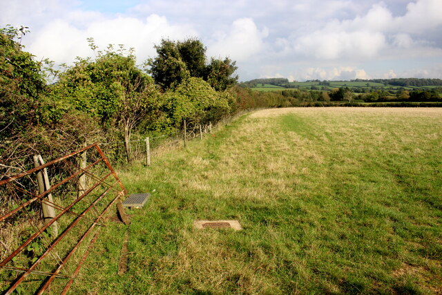
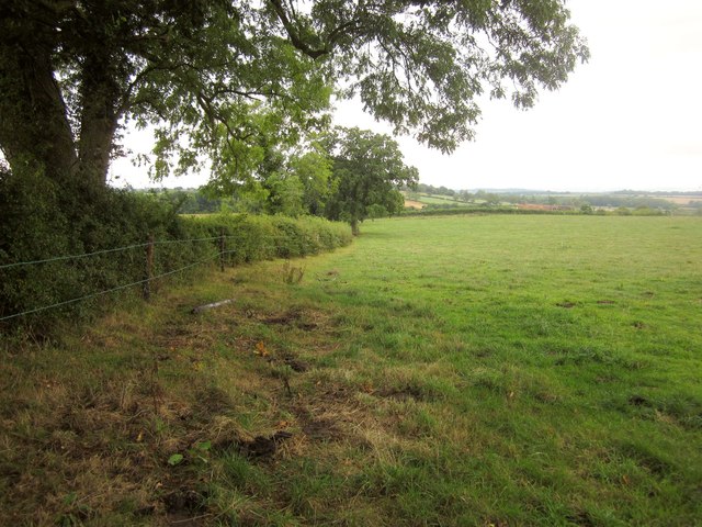
Covering an extensive area, Charlton Gorse boasts a rich variety of plant and animal species. The woodlands are predominantly composed of oak, beech, and ash trees, creating a dense canopy that provides shade and shelter for the local wildlife. The forest floor is adorned with an array of wildflowers, ferns, and mosses, adding to the beauty and biodiversity of the area.

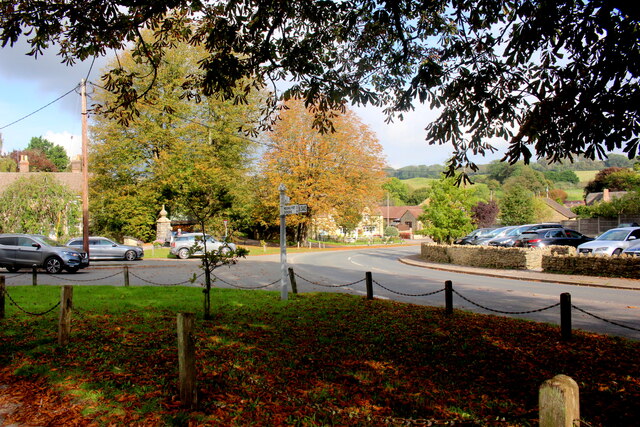
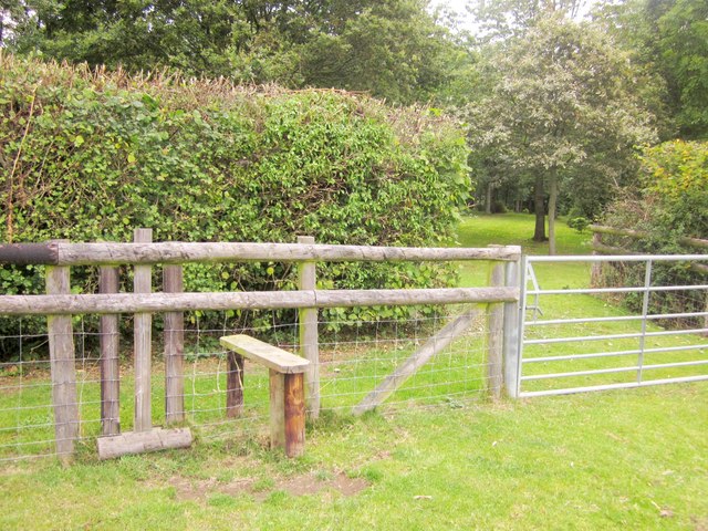
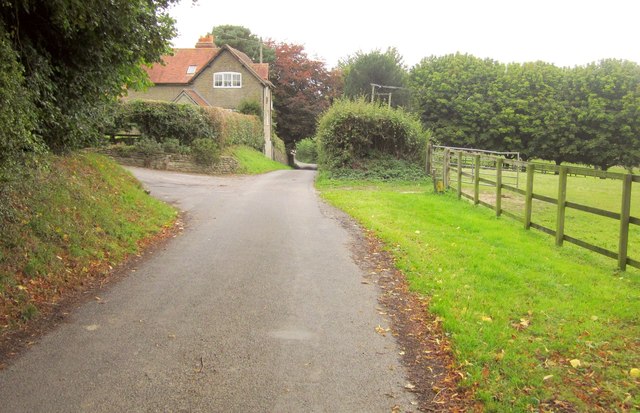
The village itself is quaint and charming, with traditional stone cottages and a small community that takes pride in preserving the natural surroundings. Walking trails and footpaths crisscross the woodlands, allowing visitors to explore the enchanting forests and discover hidden gems such as bubbling brooks, ancient trees, and secret clearings.

Charlton Gorse is also home to various species of birds, mammals, and insects, making it a haven for birdwatchers and wildlife photographers. Keen observers may spot deer, badgers, foxes, and a wide variety of bird species such as owls, woodpeckers, and finches.

Overall, Charlton Gorse, Somerset offers a serene and captivating experience for nature lovers, providing a chance to immerse oneself in the beauty of woodlands and forests, while enjoying the tranquility and charm of a traditional English village.

If you have any feedback on the listing, please let us know in the comments section below.

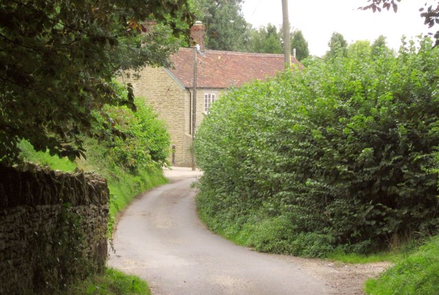
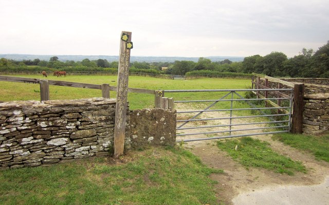
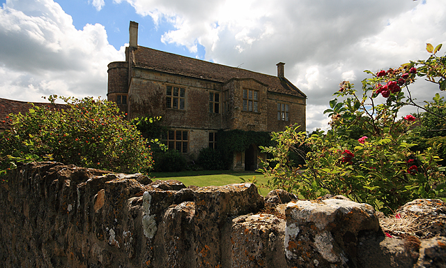
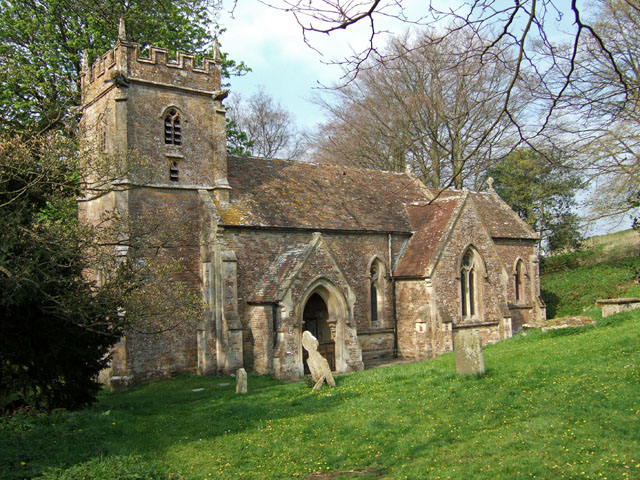
Charlton Gorse Images

Images are sourced within 2km of 51.012254/-2.4680688 or Grid Reference ST6723. Thanks to Geograph Open Source API. All images are credited.

Field at Waterloo Crescent This field is just off the minor road that runs from Milborne Port North to Charlton Horethorne.
Field at Waterloo Crescent
This field is just off the minor road that runs from Milborne Port North to Charlton Horethorne.
High St Charlton Horethorne Looking north along High St from the village green. The High St goes off to the right and North St goes off to the left.
High St Charlton Horethorne
Looking north along High St from the village green. The High St goes off to the right and North St goes off to the left.
Old Milestone by the B3145, Charlton Horethorne Metal plate attached to stone post by the B3145, in parish of CHARLTON HORETHORNE (SOUTH SOMERSET District), opposite Church in Charlton Horethorne, by No. 647, set in garden wall (stone) beside road, on West side of road. Wincanton iron plate, erected by the Wincanton turnpike trust in the 19th century. 

Inscription reads:-
Wincanton
5
Sherborne
5

Grade II listed. 
List Entry Number: 1366357 <span class="nowrap"><a title="https://historicengland.org.uk/listing/the-list/list-entry/1366357" rel="nofollow ugc noopener" href="https://historicengland.org.uk/listing/the-list/list-entry/1366357">Link</a><img style="margin-left:2px;" alt="External link" title="External link - shift click to open in new window" src="https://s1.geograph.org.uk/img/external.png" width="10" height="10"/></span>

Milestone Society National ID: SO_WCSB05.
Old Milestone by the B3145, Charlton Horethorne
Metal plate attached to stone post by the B3145, in parish of CHARLTON HORETHORNE (SOUTH SOMERSET District), opposite Church in Charlton Horethorne, by No. 647, set in garden wall (stone) beside road, on West side of road. Wincanton iron plate, erected by the Wincanton turnpike trust in the 19th century. Inscription reads:- Wincanton 5 Sherborne 5 Grade II listed. List Entry Number: 1366357 LinkExternal link Milestone Society National ID: SO_WCSB05.
The Church of St Mary Magdalene The church was mostly rebuilt in 1913 and 1914 of local stone which has been cut and squared.
The Church of St Mary Magdalene
The church was mostly rebuilt in 1913 and 1914 of local stone which has been cut and squared.
To Cyclists Ride with Caution sign This sign was erected by the Cyclists Touring Club (the overpainted lettering at the base of the sign can still be made out) in the period 1897 to 1902. It warns of the moderately severe descent of the B3145 into Charlton Horethorne. Steeper hills had a "To Cyclists This Hill is Dangerous" warning.
To Cyclists Ride with Caution sign
This sign was erected by the Cyclists Touring Club (the overpainted lettering at the base of the sign can still be made out) in the period 1897 to 1902. It warns of the moderately severe descent of the B3145 into Charlton Horethorne. Steeper hills had a "To Cyclists This Hill is Dangerous" warning.
Awkward stile, Stowell Footpath WN 14/21 is not a particularly easy path to follow, and poorly waymarked, especially heading northwards considering that its line doesn't precisely correspond to that marked on the 1:25000 map. This stile, illegally over barbed wire, doesn't help either.
Awkward stile, Stowell
Footpath WN 14/21 is not a particularly easy path to follow, and poorly waymarked, especially heading northwards considering that its line doesn't precisely correspond to that marked on the 1:25000 map. This stile, illegally over barbed wire, doesn't help either.
Field near Stowell A field crossed by footpath WN 14/21, which is shown on the 1:25000 map as crossing the field boundary on the left about 25 metres from the hedge behind me. In fact the crossing is hidden in the corner of the field, left behind the camera.
Field near Stowell
A field crossed by footpath WN 14/21, which is shown on the 1:25000 map as crossing the field boundary on the left about 25 metres from the hedge behind me. In fact the crossing is hidden in the corner of the field, left behind the camera.
Theoretical path, Stowell Hill The 1:25000 map, both currently online and the one I was using, show footpath WN 14/21 turning left around here towards the junction at Cabbage Lane. But there's no way through this fence. 

Ahead is Stowell Hill House, 1923/4, designed in an Arts and Crafts style by Sir Guy Dawber <span class="nowrap"><a title="http://list.english-heritage.org.uk/resultsingle.aspx?uid=1238119&searchtype=mapsearch" rel="nofollow ugc noopener" href="http://list.english-heritage.org.uk/resultsingle.aspx?uid=1238119&searchtype=mapsearch">Link</a><img style="margin-left:2px;" alt="External link" title="External link - shift click to open in new window" src="https://s1.geograph.org.uk/img/external.png" width="10" height="10"/></span> .
Theoretical path, Stowell Hill
The 1:25000 map, both currently online and the one I was using, show footpath WN 14/21 turning left around here towards the junction at Cabbage Lane. But there's no way through this fence. Ahead is Stowell Hill House, 1923/4, designed in an Arts and Crafts style by Sir Guy Dawber LinkExternal link .
Stile, Stowell Hill This stile lacks any waymarking, has no upright handhold, and is well off the mapped route of footpath WN 14/21, so I ignored it at first. However, having reached the point where <a href="https://www.geograph.org.uk/photo/3669111">ST6822 : Theoretical path, Stowell Hill</a> was taken, I was forced to return to it and use it as the best option available. Somerset CC, some better waymarking would be invaluable on this path.
Stile, Stowell Hill
This stile lacks any waymarking, has no upright handhold, and is well off the mapped route of footpath WN 14/21, so I ignored it at first. However, having reached the point where ST6822 : Theoretical path, Stowell Hill was taken, I was forced to return to it and use it as the best option available. Somerset CC, some better waymarking would be invaluable on this path.
Fence, Stowell Hill Looking along the edge of the grounds of Stowell Hill House from the other side of the stile shown in <a href="https://www.geograph.org.uk/photo/3669124">ST6822 : Stile, Stowell Hill</a>.
Fence, Stowell Hill
Looking along the edge of the grounds of Stowell Hill House from the other side of the stile shown in ST6822 : Stile, Stowell Hill.
Junction, Stowell Hill From footpath WN 14/21 as it emerges from woodland. The side lane to Wilkinthroop ahead is called Cabbage Lane.
Junction, Stowell Hill
From footpath WN 14/21 as it emerges from woodland. The side lane to Wilkinthroop ahead is called Cabbage Lane.
Roadsign, Cabbage Lane Beneath the width restriction sign is one for The National Byway; see below.
Roadsign, Cabbage Lane
Beneath the width restriction sign is one for The National Byway; see below.
Cabbage Lane See <a href="https://www.geograph.org.uk/photo/557418">ST6823 : The Entrance to Wilkinthroop Farm</a>, which shows the farm entrance ahead in much better weather. The lane carries The National Byway.
Cabbage Lane
See ST6823 : The Entrance to Wilkinthroop Farm, which shows the farm entrance ahead in much better weather. The lane carries The National Byway.
Cabbage Lane The lane shown in <a href="https://www.geograph.org.uk/photo/3669780">ST6823 : Cabbage Lane</a> continues past Wilkinthroop Cottages.
Cabbage Lane
The lane shown in ST6823 : Cabbage Lane continues past Wilkinthroop Cottages.
Wilkinthroop A tiny hamlet on Cabbage Lane. On the left are Wilkinthroop Cottages; ahead is Throop Farm.
Wilkinthroop
A tiny hamlet on Cabbage Lane. On the left are Wilkinthroop Cottages; ahead is Throop Farm.
Throop Farm Cabbage Lane, shown in <a href="https://www.geograph.org.uk/photo/3669906">ST6823 : Wilkinthroop</a>, swings right between walls past the farm buildings.
Throop Farm
Cabbage Lane, shown in ST6823 : Wilkinthroop, swings right between walls past the farm buildings.
Footpaths, Wilkinthroop A pair of footpaths leave Cabbage Lane at a bend by Throop Farm. Destinations and distances are helpfully inscribed vertically on the signpost: respectively, Mead's Lane and Sert's Lane.
Footpaths, Wilkinthroop
A pair of footpaths leave Cabbage Lane at a bend by Throop Farm. Destinations and distances are helpfully inscribed vertically on the signpost: respectively, Mead's Lane and Sert's Lane.
Monarch's Way leaving Cabbage Lane Using a bridge across a ditch to reach a stile into a maize field. The path is WN 14/4. The lane is also used by The National Byway.
Monarch's Way leaving Cabbage Lane
Using a bridge across a ditch to reach a stile into a maize field. The path is WN 14/4. The lane is also used by The National Byway.
Show me another place!

Charlton Gorse is located at Grid Ref: ST6723 (Lat: 51.012254, Lng: -2.4680688)

Administrative County: Somerset

District: South Somerset

Police Authority: Avon and Somerset

What 3 Words

///much.immediate.bidder. Near Templecombe, Somerset

Nearby Locations

Charlton Gorse

Related Wikis

Charlton Horethorne

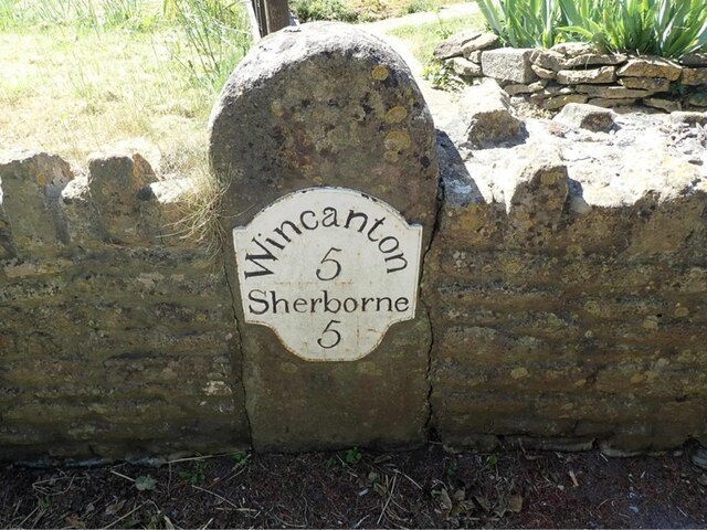
Charlton Horethorne is a village and civil parish in Somerset, England, situated 5 miles (8 km) south-west of Wincanton and 5 miles (8 km) north-east of...

Church of St Peter and St Paul, Charlton Horethorne

The Anglican Church of St Peter and St Paul in Charlton Horethorne, Somerset, England was built in the 12th century. It is a Grade II* listed building...

Laycock Railway Cutting

Laycock Railway Cutting (grid reference ST678213) is a 1.3 hectare geological Site of Special Scientific Interest near Milborne Port in Somerset, notified...

Church of St John the Baptist, North Cheriton

The Anglican Church of St John the Baptist in North Cheriton, Somerset, England was built in the 14th century. It is a Grade II* listed building. ��2...

Sigwells

Sigwells is a hamlet located in an area rich in archaeology remains, overlooking Cadbury Castle in Somerset, England. It was the target of research by...

North Cheriton

North Cheriton is a small village and civil parish in South Somerset with a population of 208. It is located on the A357 south-west of Wincanton. ��2...

Maperton

Maperton is a village and civil parish in Somerset, England, situated 3 miles (4.8 km) south west of Wincanton in the South Somerset district. The village...

Church of St Michael, Blackford

The Anglican Church of St Michael in Blackford, Somerset, England was built in the 11th or 12th century. It is a Grade II* listed building. == History... ==

Nearby Amenities

Located within 500m of 51.012254,-2.4680688
Windmill Hill
Ele: 186
Natural: peak
Source: NPE
Lat/Long: 51.0112814/-2.4650538
The data included in this document is from www.openstreetmap.org. The data is made available under ODbL.

Have you been to Charlton Gorse?

Leave your review of Charlton Gorse below (or comments, questions and feedback).