Blaize Bailey
Wood, Forest in Gloucestershire Forest of Dean
England
Blaize Bailey
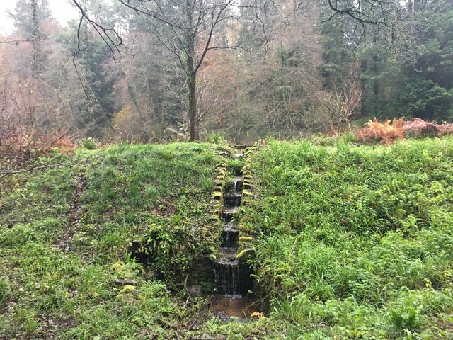
Blaize Bailey is a small woodland area located in the county of Gloucestershire, England. Situated in the heart of the Forest of Dean, it is a popular destination for nature lovers and outdoor enthusiasts. The woodland is named after a local landowner, Thomas Blaize, who once owned the land.
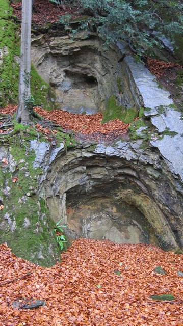
Covering an area of approximately 100 acres, Blaize Bailey is predominantly made up of mixed woodland, with a variety of tree species such as oak, beech, and ash. The forest floor is adorned with a carpet of bluebells during the spring season, adding a touch of natural beauty to the surroundings.
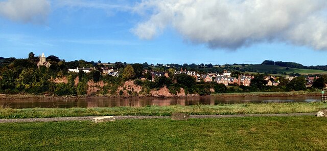
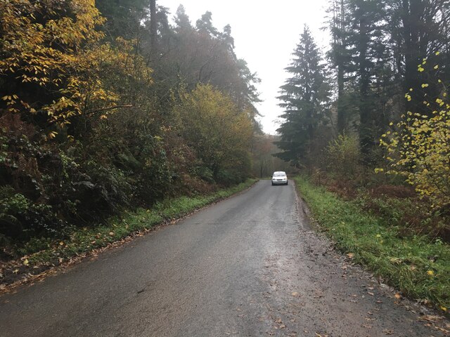
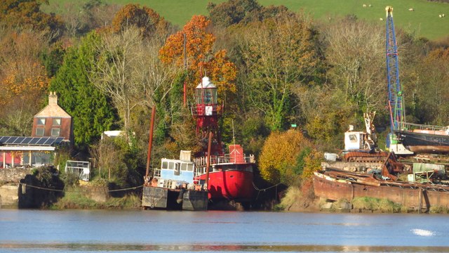
The woodland is intersected by a charming footpath known as the Blaize Bailey Trail, which offers visitors the opportunity to explore the area and enjoy the tranquil atmosphere. The trail leads to a viewpoint overlooking the scenic River Severn, providing breathtaking views of the surrounding countryside.
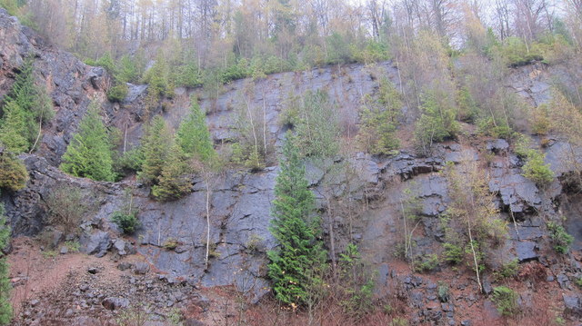
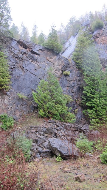
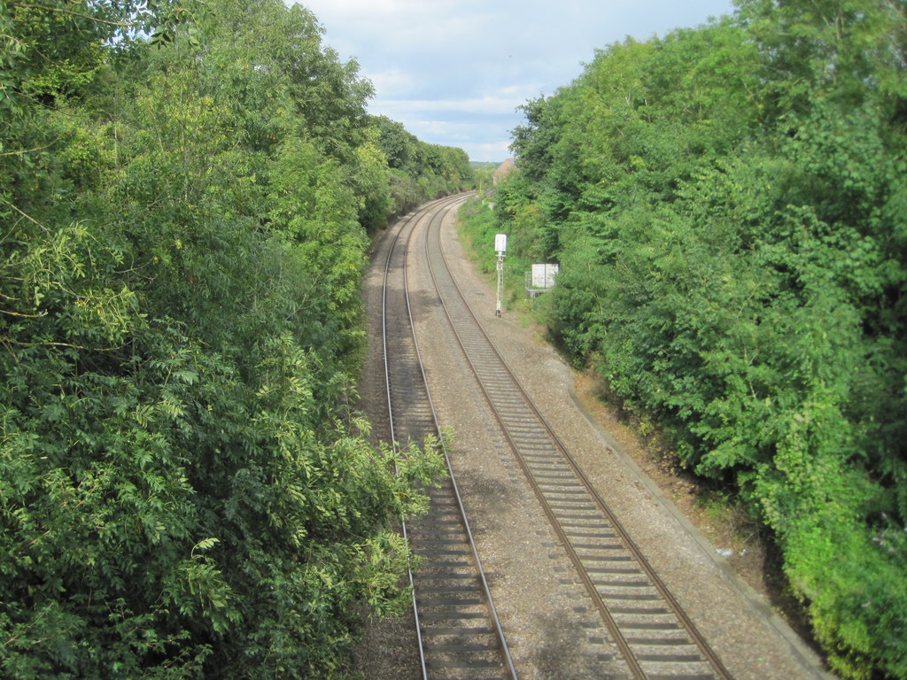
In addition to its natural beauty, Blaize Bailey also holds historical significance. It is home to the remains of an old railway bridge, which was once part of the Severn and Wye Railway. The bridge, now a Grade II listed structure, serves as a reminder of the area's industrial past.
Blaize Bailey is a haven for wildlife, with numerous bird species, mammals, and insects calling the woodland their home. Visitors might spot woodpeckers, badgers, and butterflies as they explore the area.
Overall, Blaize Bailey offers a peaceful escape from the hustle and bustle of city life, providing a tranquil setting for nature enthusiasts to immerse themselves in the beauty of the Gloucestershire countryside.
If you have any feedback on the listing, please let us know in the comments section below.
Blaize Bailey Images
Images are sourced within 2km of 51.802819/-2.4772449 or Grid Reference SO6711. Thanks to Geograph Open Source API. All images are credited.


Blaize Bailey is located at Grid Ref: SO6711 (Lat: 51.802819, Lng: -2.4772449)
Administrative County: Gloucestershire
District: Forest of Dean
Police Authority: Gloucestershire
What 3 Words
///films.fallback.enforced. Near Cinderford, Gloucestershire
Nearby Locations
Related Wikis

Blaize Bailey
Blaize Bailey is a small hamlet and viewpoint on the eastern edge of the Forest of Dean, in Gloucestershire, England. The viewpoint was constructed using...

Soudley Ponds
Lying close to the village of Soudley in the Forest of Dean, west Gloucestershire, Soudley Ponds (grid reference SO662112), also known as Sutton Ponds...

Littledean
Littledean is a village in the Forest of Dean, west Gloucestershire, England. The village has a long history and formerly had the status of a town. Littledean...

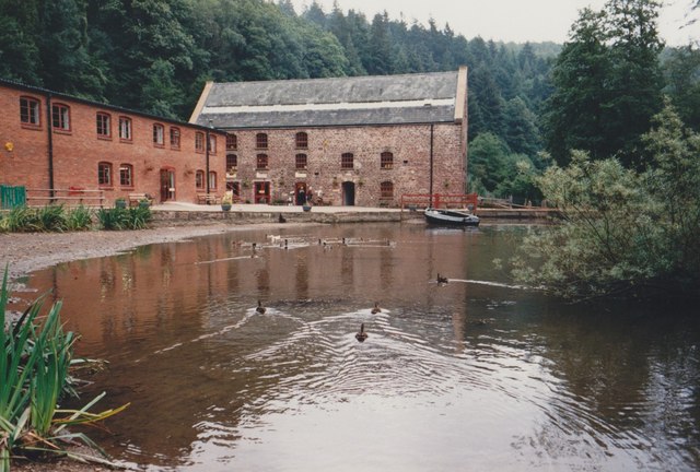
Dean Heritage Centre
The Dean Heritage Centre is located in the valley of Soudley, Gloucestershire, England in the Forest of Dean and exists to record and preserve the social...

Littledean Hall
Littledean Hall (grid reference SO672130) is a country house in the village of Littledean, Gloucestershire, England. It has been described as one of the...
Ruddle Road Halt railway station
Ruddle Road Halt railway station was a minor station on the Gloucester-Newport Railway on the outskirts of Newnham, Gloucestershire. It was also the start...
Buckshraft Mine & Bradley Hill Railway Tunnel
Buckshaft Mine & Bradley Hill Railway Tunnel (SO655121 and SO662104) is a 5.66-hectare (14.0-acre) biological Site of Special Scientific Interest in Gloucestershire...
Newnham railway station
Newnham railway station was a station serving the village of Newnham on Severn, Gloucestershire. == History == The South Wales Railway was formed in 1845...
Nearby Amenities
Located within 500m of 51.802819,-2.4772449Have you been to Blaize Bailey?
Leave your review of Blaize Bailey below (or comments, questions and feedback).