Bandley Wood

Wood, Forest in Westmorland Eden

England

Bandley Wood

Ordnance Survey 1GL Bolt This OS bolt can be found on the east face of St Michael's Church. It marks a point 142.838m above mean sea level.
Ordnance Survey 1GL Bolt Credit: Adrian Dust

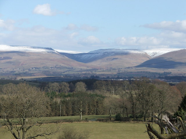
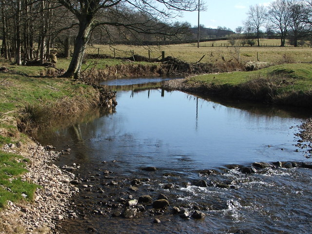
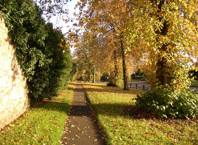
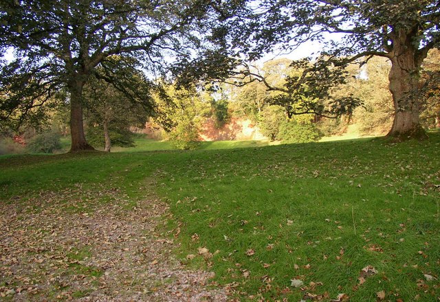
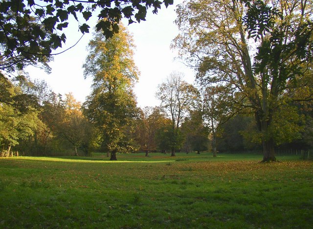
Bandley Wood, located in Westmorland, is a picturesque and enchanting forest that covers a sprawling area of land. Nestled amidst the rolling hills and verdant landscapes of the region, this wood is a haven for nature enthusiasts and a popular destination for locals and tourists alike.

The wood boasts a diverse range of flora and fauna, with an array of trees including oak, beech, and birch, providing a lush canopy that filters sunlight and creates a serene and tranquil atmosphere. The forest floor is adorned with a rich variety of plants and wildflowers, which add a burst of color to the woodland setting.

Bandley Wood is a habitat for numerous species of wildlife, making it a paradise for birdwatchers and animal lovers. Visitors can spot a wide range of birds, such as woodpeckers, owls, and jays, while lucky observers may even catch a glimpse of roe deer or red squirrels darting through the underbrush.

The forest offers a myriad of walking trails that wind through its enchanting paths, allowing visitors to immerse themselves in the natural beauty and serenity of the wood. Whether it's a leisurely stroll or a more challenging hike, there is something for every level of fitness and interest.

In addition to its natural splendor, Bandley Wood also holds historical significance. It is believed to have been a meeting place for ancient tribes and has remnants of ancient settlements and burial sites. These archaeological features add an extra layer of intrigue and fascination to the wood's already captivating allure.

Bandley Wood, with its breathtaking beauty and rich wildlife, offers a rejuvenating escape from the hustle and bustle of daily life. It is a place where one can reconnect with nature, unwind, and appreciate the wonders of the natural world.

If you have any feedback on the listing, please let us know in the comments section below.
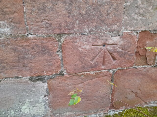
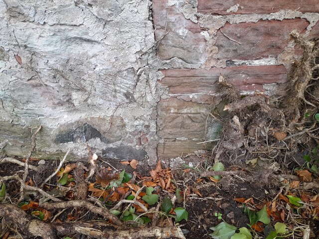
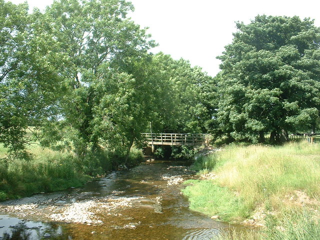
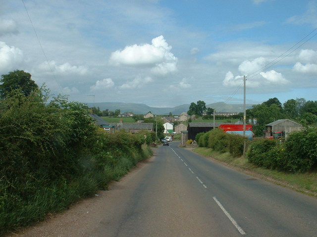
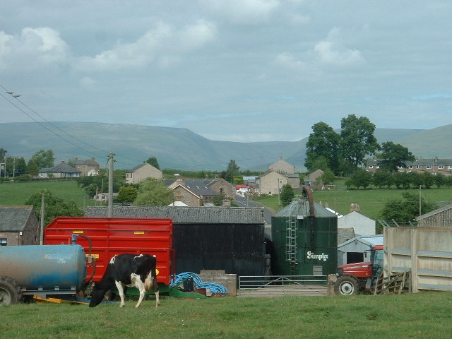
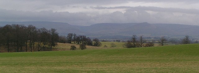
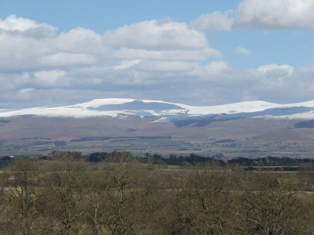
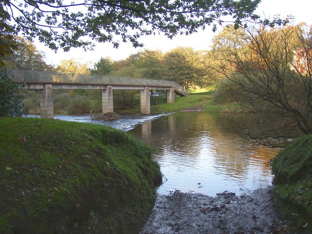
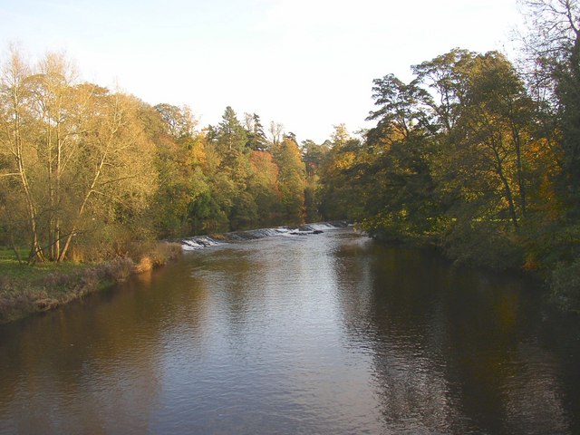
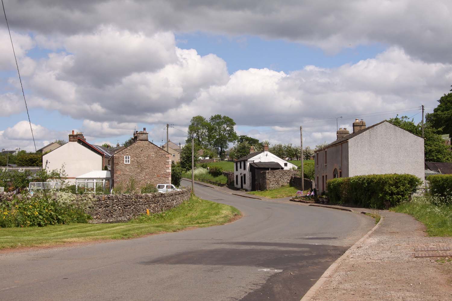
Bandley Wood Images

Images are sourced within 2km of 54.567718/-2.5107933 or Grid Reference NY6719. Thanks to Geograph Open Source API. All images are credited.

Ordnance Survey 1GL Bolt This OS bolt can be found on the east face of St Michael's Church. It marks a point 142.838m above mean sea level.
Ordnance Survey 1GL Bolt
This OS bolt can be found on the east face of St Michael's Church. It marks a point 142.838m above mean sea level.
Ordnance Survey Cut Mark This OS cut mark can be found on the building NE side of Scattergate. It marks a point 145.460m above mean sea level.
Ordnance Survey Cut Mark
This OS cut mark can be found on the building NE side of Scattergate. It marks a point 145.460m above mean sea level.
Appleby Castle Caesar's Tower at Appleby Castle built it is thought on the site of a Roman tower.
Appleby Castle
Caesar's Tower at Appleby Castle built it is thought on the site of a Roman tower.
Footbridge, Hoff Beck at Hoff, near Appleby Hoff Village, and the pub, are just beyond the trees.
Footbridge, Hoff Beck at Hoff, near Appleby
Hoff Village, and the pub, are just beyond the trees.
Burrells Village, near Appleby Looking north
Burrells Village, near Appleby
Looking north
Burrells Village, near Appleby Looking north. The deep incut of High Cup Nick is visible on the horizon
Burrells Village, near Appleby
Looking north. The deep incut of High Cup Nick is visible on the horizon
Little Clinch
Little Clinch
Pennines from brackenslack
High Cup Nick with light dusting of snow
Hoff Beck
Hoff Beck
Margarets Way, Appleby-in-Westmorland
Jerusalem trig
Jerusalem trig
Verge, Scattergate, Appleby This is the road to Orton, behind the castle.  Part of the wall around the castle grounds is on the left.
Verge, Scattergate, Appleby
This is the road to Orton, behind the castle. Part of the wall around the castle grounds is on the left.
Bongate Scar, Appleby Not marked as a quarry on the 6" map of 1863, so presumably a natural cliff of red sandstone. The information board by the footbridge reads "The same geological formation that contains oil under the North Sea.  One of the few places in the World where this type of formation is visible." Unfortunately it is in a field with a 'keep out' notice.
Bongate Scar, Appleby
Not marked as a quarry on the 6" map of 1863, so presumably a natural cliff of red sandstone. The information board by the footbridge reads "The same geological formation that contains oil under the North Sea. One of the few places in the World where this type of formation is visible." Unfortunately it is in a field with a 'keep out' notice.
St Michael's Church, Bongate, Appleby The north doorway has a Saxon hogsback gravestone re-used as a lintel.  Bongate was called 'Old Appleby' in medieval times, and is considered to have been the Anglo-saxon settlement that existed before the Normans came.  The south arcade and transept are in the Early Decorated style.  The north tower is an addition of 1885-6.  There are wall-paintings of c.1900 on the west wall and chancel north wall.
St Michael's Church, Bongate, Appleby
The north doorway has a Saxon hogsback gravestone re-used as a lintel. Bongate was called 'Old Appleby' in medieval times, and is considered to have been the Anglo-saxon settlement that existed before the Normans came. The south arcade and transept are in the Early Decorated style. The north tower is an addition of 1885-6. There are wall-paintings of c.1900 on the west wall and chancel north wall.
Riverside field off Castle Bank, Appleby This looks to be parkland belonging to the castle, but also a water meadow that could be flooded when the river level is high.
Riverside field off Castle Bank, Appleby
This looks to be parkland belonging to the castle, but also a water meadow that could be flooded when the river level is high.
Ford and Jubilee Footbridge, Appleby This is a replacement, built in 1971, of the original Jubilee Bridge that was destroyed by a flood in 1968.
Ford and Jubilee Footbridge, Appleby
This is a replacement, built in 1971, of the original Jubilee Bridge that was destroyed by a flood in 1968.
Weir for Bongate Mill, Appleby This crosses the River Eden on a long diagonal, and still looks to be in good condition although the mill closed many years ago.
Weir for Bongate Mill, Appleby
This crosses the River Eden on a long diagonal, and still looks to be in good condition although the mill closed many years ago.
Show me another place!

Bandley Wood is located at Grid Ref: NY6719 (Lat: 54.567718, Lng: -2.5107933)

Administrative County: Cumbria

District: Eden

Police Authority: Cumbria

What 3 Words

///throwaway.surpassed.tapers. Near Appleby-in-Westmorland, Cumbria

Nearby Locations

Bandley Wood

Related Wikis

Colby, Cumbria

Colby is a village and civil parish in the Eden district of the English county of Cumbria. It is near the village of Bolton to the north and the town of...

Burrells

Burrells is a hamlet in the Eden District, in the English county of Cumbria. Burrells is located on the B6260 Road in between the town of Appleby-in-Westmorland...
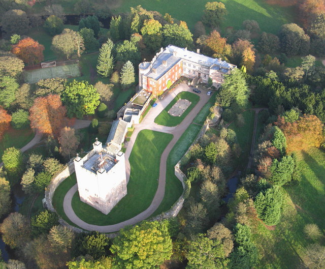
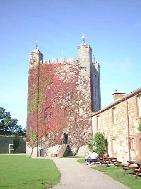
Appleby Castle

Appleby Castle is in the town of Appleby-in-Westmorland overlooking the River Eden (grid reference NY685200). It consists of a 12th-century castle keep...

Moot Hall, Appleby-in-Westmorland

The Moot Hall is a municipal building in Boroughgate, Appleby-in-Westmorland, Cumbria, England. The building, which is currently used as the meeting place...

St Lawrence's Church, Appleby

St Lawrence's Church is in Boroughgate, Appleby-in-Westmorland, Cumbria, England. It is an active Anglican parish church in the deanery of Appleby, the...

Crackenthorpe

Crackenthorpe is a village and civil parish in the Eden District of Cumbria, England. It is about 12 miles (19 km) south east of Penrith. The village was...

Barony of Westmorland

The Barony of Westmorland (medieval Westmarieland or Westmaringaland) also known as North Westmorland, the Barony of Appleby, Appleshire or the Bottom...

Shire Hall, Appleby-in-Westmorland

The Shire Hall is a municipal building in The Sands, Appleby-in-Westmorland, Cumbria, England. The shire hall, which is currently used as a dental surgery...

Nearby Amenities

Located within 500m of 54.567718,-2.5107933
Ford: yes
Lat/Long: 54.5644648/-2.5086513
Barrier: stile
Lat/Long: 54.5643682/-2.5086993
The data included in this document is from www.openstreetmap.org. The data is made available under ODbL.

Have you been to Bandley Wood?

Leave your review of Bandley Wood below (or comments, questions and feedback).