Barnfield Wood

Wood, Forest in Herefordshire

England

Barnfield Wood

Permissive footpath Permissive footpath in a field of wheat approaching a cottage on the edge of the Bromyard Downs.
Permissive footpath Credit: Philip Halling

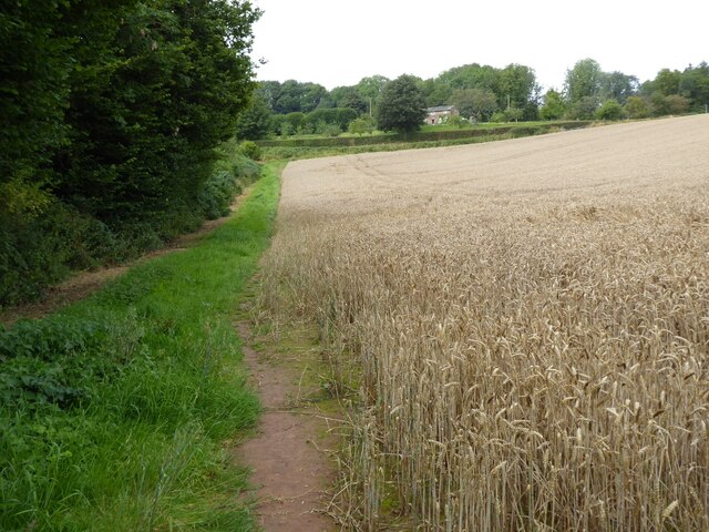
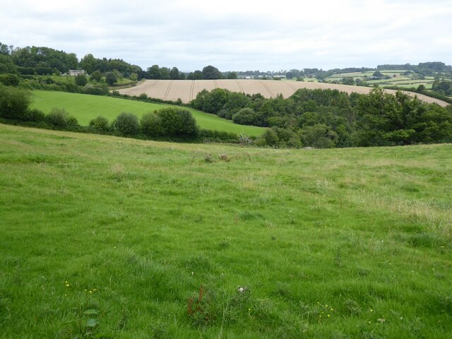
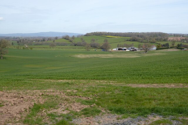
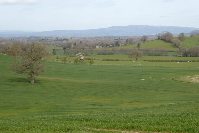
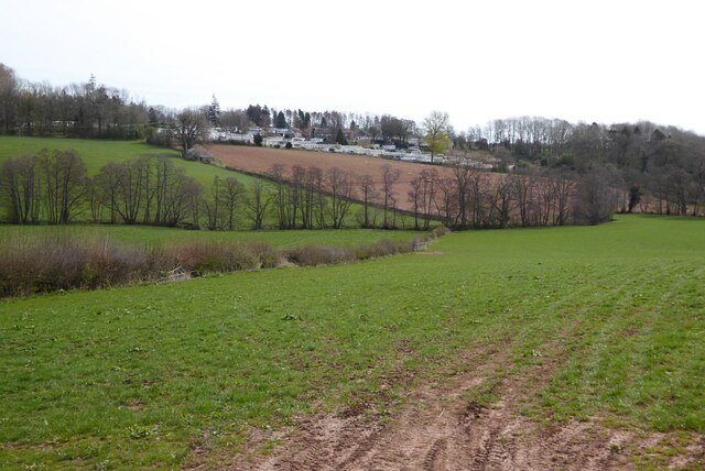
Barnfield Wood is a picturesque woodland located in the county of Herefordshire, England. Covering an area of approximately 20 hectares, it is a notable feature of the local landscape. The wood is situated near the village of Barnfield, providing residents and visitors with a serene natural environment to explore.

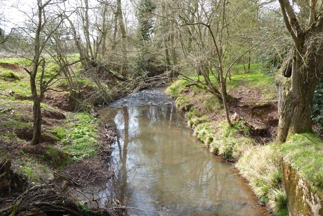
The wood is predominantly composed of broadleaf trees, including oak, beech, and ash, which create a diverse and vibrant canopy. These trees provide a habitat for a variety of wildlife, such as birds, squirrels, and deer, making it a popular spot for nature enthusiasts and photographers.

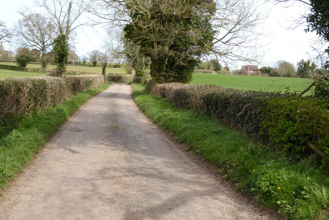
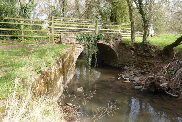
A network of well-maintained footpaths crisscross the wood, allowing visitors to wander through the enchanting surroundings at their leisure. These paths are suitable for walkers of all ages and abilities, providing a peaceful escape from the hustle and bustle of everyday life.

Barnfield Wood is also home to a rich flora, with an array of wildflowers and ferns lining the forest floor. During spring and summer, the wood is transformed into a colorful tapestry of bluebells, primroses, and foxgloves, creating a breathtaking sight for visitors.

The wood is managed by the local forestry commission, ensuring its conservation and protection for future generations to enjoy. There are also designated picnic areas and benches scattered throughout the wood, providing opportunities for visitors to relax and take in the tranquil atmosphere.

In conclusion, Barnfield Wood is a captivating woodland in Herefordshire, offering a haven of natural beauty, wildlife, and tranquility. It is an ideal destination for those seeking a peaceful retreat amidst nature's wonders.

If you have any feedback on the listing, please let us know in the comments section below.

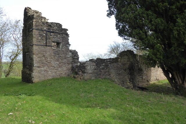
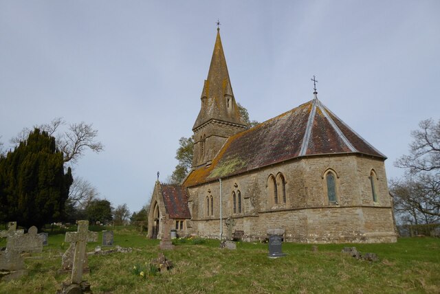
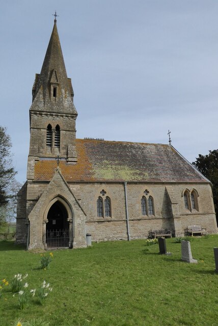
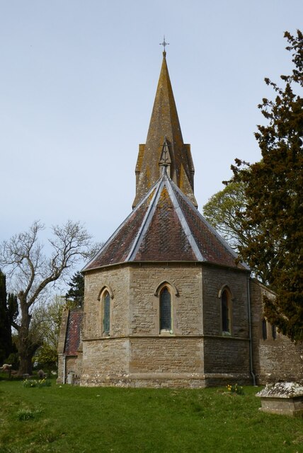
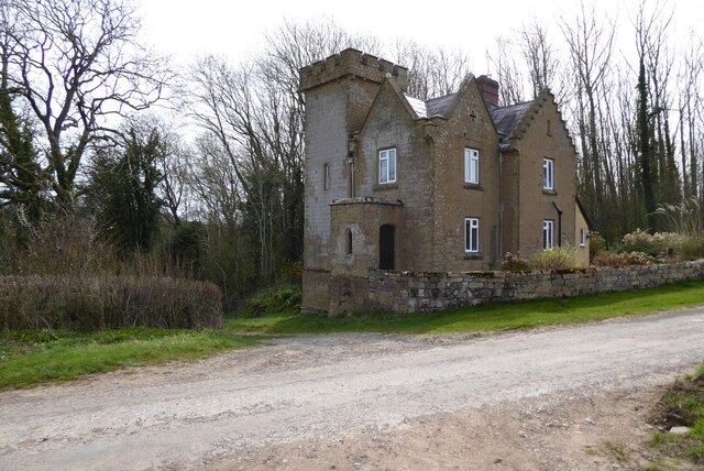
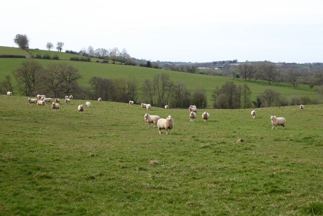
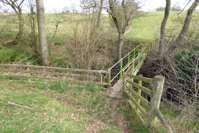
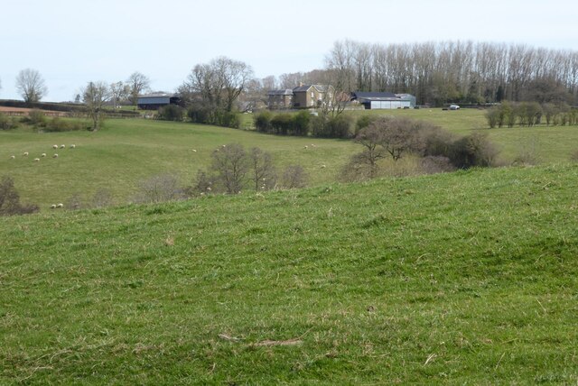
Barnfield Wood Images

Images are sourced within 2km of 52.219679/-2.4850842 or Grid Reference SO6658. Thanks to Geograph Open Source API. All images are credited.

Permissive footpath Permissive footpath in a field of wheat approaching a cottage on the edge of the Bromyard Downs.
Permissive footpath
Permissive footpath in a field of wheat approaching a cottage on the edge of the Bromyard Downs.
Farmland on the Bromyard Downs Farmland to the north of Hill House Farm on the Bromyard Downs.
Farmland on the Bromyard Downs
Farmland to the north of Hill House Farm on the Bromyard Downs.
Ruins of Edvin Loach church The nave of the old church at Edvin Loach. The church was replaced by the Victorians with St Mary's church which is situated in the same churchyard. The name Edvin Loach is derived from the de Loges family which owned the surrounding land in the late 11th century when the old church was built. Notice the herring bone masonry in the north wall on the right.
Ruins of Edvin Loach church
The nave of the old church at Edvin Loach. The church was replaced by the Victorians with St Mary's church which is situated in the same churchyard. The name Edvin Loach is derived from the de Loges family which owned the surrounding land in the late 11th century when the old church was built. Notice the herring bone masonry in the north wall on the right.
Herring bone masonry Herring bone masonry in the north wall of the old Edvin Loach church.
Herring bone masonry
Herring bone masonry in the north wall of the old Edvin Loach church.
Ruin of old Edvin Loach church The ruins of the old Edvin Loach church which was in use until the 1860s, when it was replaced by the adjacent new church.
Ruin of old Edvin Loach church
The ruins of the old Edvin Loach church which was in use until the 1860s, when it was replaced by the adjacent new church.
St Mary's church, Edvin Loach St Mary's church was designed by Sir George Gilbert Scott and built in 1859-60.  The new church in Edvin Loach replaced the earlier abandoned church, the ruins of which are adjacent to this church.  The church is Grade II listed, see: <span class="nowrap"><a title="https://historicengland.org.uk/listing/the-list/list-entry/1082257?section=official-list-entry" rel="nofollow ugc noopener" href="https://historicengland.org.uk/listing/the-list/list-entry/1082257?section=official-list-entry">Link</a><img style="margin-left:2px;" alt="External link" title="External link - shift click to open in new window" src="https://s1.geograph.org.uk/img/external.png" width="10" height="10"/></span>
St Mary's church, Edvin Loach
St Mary's church was designed by Sir George Gilbert Scott and built in 1859-60. The new church in Edvin Loach replaced the earlier abandoned church, the ruins of which are adjacent to this church. The church is Grade II listed, see: LinkExternal link
Farmland and Hope Farm View over farmland and Hope Farm from near Edvin Loach church.
Farmland and Hope Farm
View over farmland and Hope Farm from near Edvin Loach church.
View to Titterstone Clee Hill View across farmland to Titterstone Clee Hill from near Edvin Loach church.
View to Titterstone Clee Hill
View across farmland to Titterstone Clee Hill from near Edvin Loach church.
Country road at Edvin Loach A quiet country road in the sparse community of Edvin Loach.  The farm in the middle distance on the right is Steeples.
Country road at Edvin Loach
A quiet country road in the sparse community of Edvin Loach. The farm in the middle distance on the right is Steeples.
Saltmarsh Castle Caravan Park Until 1955 when it was demolished this was the site of Saltmarshe Castle, a Victorian crenelated house. Today it is the site of the Saltmarshe Castle Caravan Park, its open and exposed elevated position making it a blot on a rural sparsely populated landscape.
Saltmarsh Castle Caravan Park
Until 1955 when it was demolished this was the site of Saltmarshe Castle, a Victorian crenelated house. Today it is the site of the Saltmarshe Castle Caravan Park, its open and exposed elevated position making it a blot on a rural sparsely populated landscape.
Former lodge Former lodge or gatehouse to Saltmarshe Castle.  The castle which was a Victorian crenellated country house was demolished in 1955.
Former lodge
Former lodge or gatehouse to Saltmarshe Castle. The castle which was a Victorian crenellated country house was demolished in 1955.
Sheep in a field Sheep in a field near New House Farm, Edvin Loach.
Sheep in a field
Sheep in a field near New House Farm, Edvin Loach.
Footbridge on a footpath Footbridge on a footpath near New House Farm, Edvin Loach.
Footbridge on a footpath
Footbridge on a footpath near New House Farm, Edvin Loach.
New House Farm New House Farm viewed from a footpath to the south-west.
New House Farm
New House Farm viewed from a footpath to the south-west.
Stream near Edvin Loach
Footbridge over a stream Footbridge on a bridleway crossing a stream between Edvin Loach and Edwyn Ralph.
Footbridge over a stream
Footbridge on a bridleway crossing a stream between Edvin Loach and Edwyn Ralph.
Show me another place!

Barnfield Wood is located at Grid Ref: SO6658 (Lat: 52.219679, Lng: -2.4850842)

Unitary Authority: County of Herefordshire

Police Authority: West Mercia

What 3 Words

///waitress.exclusive.sandpaper. Near Bromyard, Herefordshire

Related Wikis

Edvin Loach

Edvin Loach, also Edwin Loach, is a village and former civil parish, now in the parish of Edvin Loach and Saltmarshe, in east Herefordshire, England, and...

Edvin Loach and Saltmarshe

Edvin Loach and Saltmarshe is a civil parish in north-east Herefordshire, England, and is approximately 15 miles (24 km) north-east from the city and county...

Tedstone Wafer

Tedstone Wafer is a village and civil parish 16 miles (26 km) north east of Hereford, in the county of Herefordshire, England. In 2011 the parish had a...

Tedstone Delamere

Tedstone Delamere is a village and civil parish in Herefordshire, England, 3.5 miles (6 km) north-east of Bromyard. The population of the parish at the...

Nearby Amenities

Located within 500m of 52.219679,-2.4850842
Barrier: stile
Lat/Long: 52.2239411/-2.4861937
Barrier: stile
Lat/Long: 52.2225558/-2.4804783
Barrier: stile
Lat/Long: 52.2235526/-2.4837988
Turning Circle
Lat/Long: 52.2180738/-2.4832132
Saltmarshe
Place: hamlet
Wikidata: Q100957940
Lat/Long: 52.216375/-2.4827938
Power: pole
Lat/Long: 52.221012/-2.4884704
Power: pole
Lat/Long: 52.2227956/-2.4866089
Power: pole
Lat/Long: 52.2236821/-2.4860671
Power: pole
Lat/Long: 52.222032/-2.487089
Power: pole
Lat/Long: 52.2213185/-2.4874364
Power: pole
Lat/Long: 52.2216397/-2.4863447
Power: pole
Lat/Long: 52.2219494/-2.4853315
Power: pole
Lat/Long: 52.2224214/-2.48369
Power: pole
Lat/Long: 52.2224756/-2.4825849
Power: pole
Lat/Long: 52.2225381/-2.4811493
Power: pole
Lat/Long: 52.2225944/-2.4797505
Power: pole
Lat/Long: 52.2189128/-2.4918929
Power: pole
Lat/Long: 52.2194838/-2.4909648
Power: pole
Lat/Long: 52.218078/-2.4857486
Saltmarshe Castle
Power: pole
Transformer: distribution
Voltage Primary: 11000
Lat/Long: 52.2176146/-2.4847139
Saltmarshe Castle Park North
Location Transition: yes
Power: pole
Transformer: distribution
Voltage Primary: 11000
Lat/Long: 52.2188344/-2.4861
Location Transition: yes
Power: pole
Lat/Long: 52.2184322/-2.4865405
Power: pole
Lat/Long: 52.218852/-2.4874739
Power: pole
Lat/Long: 52.2190862/-2.4879976
Power: pole
Lat/Long: 52.219651/-2.4892368
Power: pole
Lat/Long: 52.2206213/-2.4891161
Power: pole
Lat/Long: 52.2200811/-2.4899919
Power: pole
Lat/Long: 52.2204685/-2.4906631
Steeples
Power: pole
Transformer: distribution
Voltage Primary: 11000
Lat/Long: 52.2208793/-2.4913779
Power: pole
Lat/Long: 52.2214101/-2.491571
The data included in this document is from www.openstreetmap.org. The data is made available under ODbL.

Have you been to Barnfield Wood?

Leave your review of Barnfield Wood below (or comments, questions and feedback).