Holland's Copse
Wood, Forest in Somerset Mendip
England
Holland's Copse
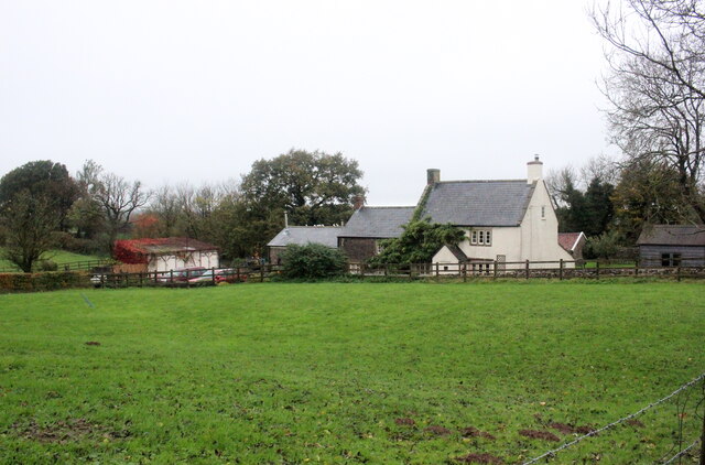
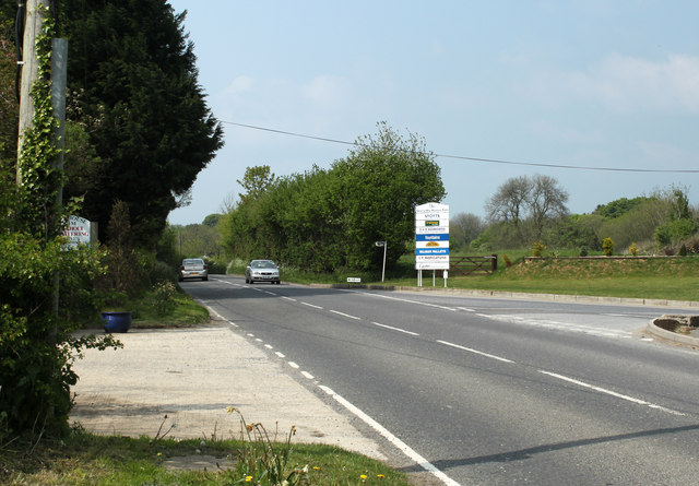
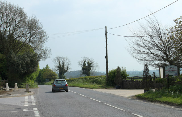
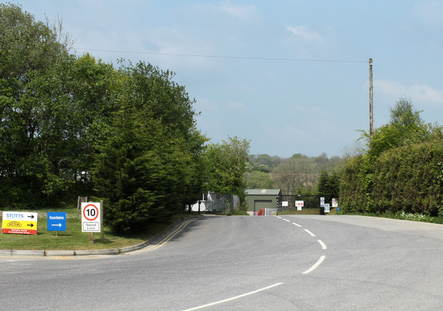
Holland's Copse is a picturesque woodland located in Somerset, England. Spanning over a vast area of approximately 100 acres, it is renowned for its natural beauty and serves as a haven for local wildlife. The copse is situated near the town of Glastonbury and is easily accessible to both locals and tourists.
The woodland is predominantly comprised of mature deciduous trees, including oak, beech, and ash. These towering trees create a dense canopy that provides a cool and tranquil atmosphere, especially during the summer months. The forest floor is carpeted with a variety of wildflowers, ferns, and mosses, adding to the copse's overall charm.
Holland's Copse offers numerous walking trails, allowing visitors to explore its enchanting surroundings. These pathways wind through the woods, granting glimpses of the abundant flora and fauna that call the copse home. The woodland is home to a diverse range of wildlife, including deer, badgers, foxes, and a multitude of bird species. Nature enthusiasts often visit the copse for birdwatching, as it provides an ideal habitat for many woodland birds.
In addition to its natural beauty, Holland's Copse holds historical significance. The copse is believed to have been part of the ancient Glastonbury Forest, which has been mentioned in historical documents dating back to the 10th century. This adds a sense of mystery and intrigue to the woodland, attracting history buffs and nature lovers alike.
Overall, Holland's Copse is a captivating woodland that offers a serene escape from the hustle and bustle of everyday life. Its lush vegetation, diverse wildlife, and rich history make it a must-visit destination for anyone seeking a peaceful and immersive natural experience in Somerset.
If you have any feedback on the listing, please let us know in the comments section below.
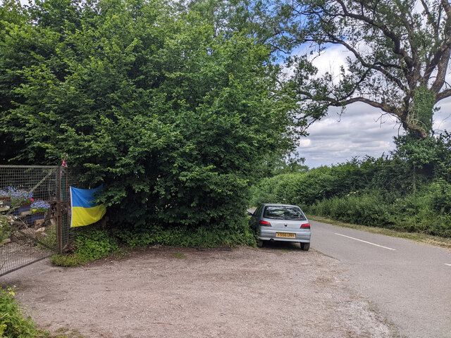
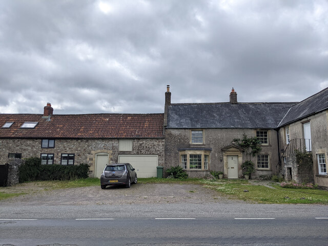
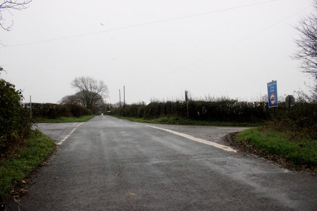
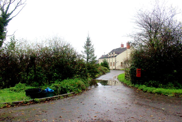
Holland's Copse Images
Images are sourced within 2km of 51.209947/-2.476728 or Grid Reference ST6645. Thanks to Geograph Open Source API. All images are credited.


Holland's Copse is located at Grid Ref: ST6645 (Lat: 51.209947, Lng: -2.476728)
Administrative County: Somerset
District: Mendip
Police Authority: Avon and Somerset
What 3 Words
///blunders.actor.shaves. Near Shepton Mallet, Somerset
Nearby Locations
Related Wikis

Moon's Hill Quarry
Moon's Hill Quarry (grid reference ST665460) is a 3.42 hectare geological Site of Special Scientific Interest at Stoke St Michael in Somerset, notified...
Dinies Camp
Dinies Camp is a univallate Iron Age hill fort enclosure in the Mendip district of Somerset, England. The hill fort is situated approximately 1 mile (1...

Cranmore Tower
The Cranmore Tower is a 45 metres (148 ft) tall 19th century folly in the parish of Cranmore, Somerset, England. The site is 280 metres (919 ft) above...

Stoke St Michael
Stoke St Michael is a village and civil parish on the Mendip Hills 4 miles (6.4 km) north east of Shepton Mallet, and 8 miles (12.9 km) west of Frome,...

Church of St Michael, Stoke St Michael
The Anglican Church of St Michael in Stoke St Michael, Somerset, England was built around 1400. It is a Grade II* listed building. == History == The western...

Stoke Lane Slocker
Stoke Lane Slocker (grid reference ST66874745) is a cave near Stoke St Michael, in the Carboniferous Limestone of the Mendip Hills, in the English county...
St Dunstan's Well Catchment
St. Dunstan's Well Catchment (grid reference ST668475) is a Site of Special Scientific Interest, covering 39.8 hectares (98.3 acres) near Stoke St Michael...
Shatter Cave
Shatter Cave is a cave in Fairy Cave Quarry, near Stoke St Michael in the limestone of the Mendip Hills, in Somerset, England. It falls within the St....
Nearby Amenities
Located within 500m of 51.209947,-2.476728Have you been to Holland's Copse?
Leave your review of Holland's Copse below (or comments, questions and feedback).