Shoots Wood
Wood, Forest in Somerset Mendip
England
Shoots Wood

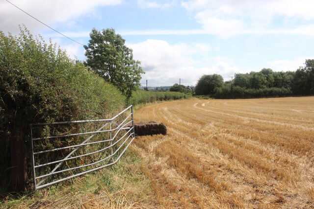
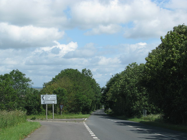
Shoots Wood is a picturesque woodland located in Somerset, England. Covering an area of approximately 50 hectares, it is a part of the larger forested area known as Somerset Forest. The wood is situated in a rural setting, surrounded by rolling hills and fields, providing a tranquil and serene environment for visitors.
The woodland is primarily composed of deciduous trees, including oak, beech, and ash, which create a dense canopy that filters the sunlight, casting dappled shadows on the forest floor. This creates an enchanting atmosphere, especially during the spring and summer months when the trees are in full bloom.
The wood is crisscrossed by a network of well-maintained footpaths and trails, allowing visitors to explore its beauty. These paths meander through the woodland, leading to hidden clearings, ancient trees, and small streams that babble gently in the background. The wood is a haven for wildlife, with various species of birds, squirrels, and deer inhabiting the area.
Shoots Wood is a popular destination for nature enthusiasts, walkers, and photographers. Its natural beauty and tranquility make it an ideal spot for those seeking a break from the hustle and bustle of everyday life. Visitors can take leisurely strolls, enjoy a picnic among the trees, or simply sit and soak in the peaceful ambiance.
Overall, Shoots Wood offers a delightful escape into nature, providing a sanctuary for both wildlife and humans alike. Its scenic beauty and diverse ecosystem make it a must-visit destination for anyone seeking a connection with the natural world.
If you have any feedback on the listing, please let us know in the comments section below.
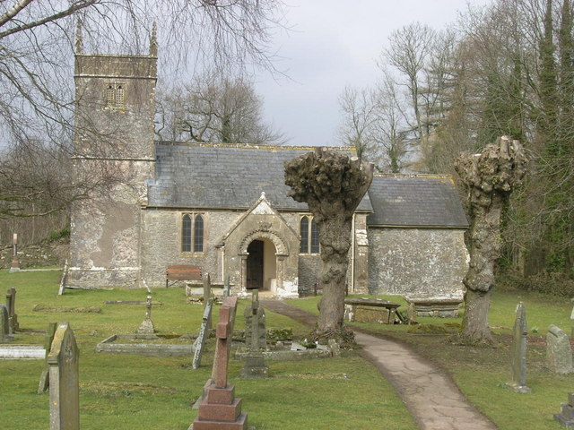
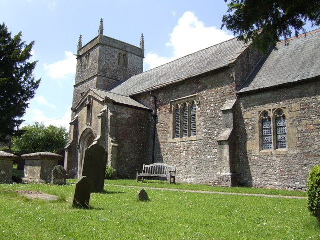
Shoots Wood Images
Images are sourced within 2km of 51.256338/-2.4785549 or Grid Reference ST6650. Thanks to Geograph Open Source API. All images are credited.


Shoots Wood is located at Grid Ref: ST6650 (Lat: 51.256338, Lng: -2.4785549)
Administrative County: Somerset
District: Mendip
Police Authority: Avon and Somerset
What 3 Words
///grins.halt.grips. Near Chilcompton, Somerset
Nearby Locations
Related Wikis
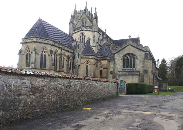
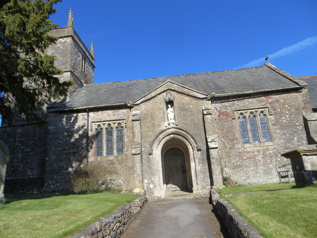
Church of St Andrew, Holcombe
The Church of St. Andrew close to Downside Abbey in Holcombe, Somerset, England has late Saxon-early Norman origins and was rebuilt in the 16th century...

Downside School
Downside School is a co-educational Catholic independent boarding and day school in the English public school tradition for pupils aged 11 to 18. It is...

Downside Abbey
Downside Abbey is a Benedictine monastery in England and the senior community of the English Benedictine Congregation. Until 2019, the community had close...
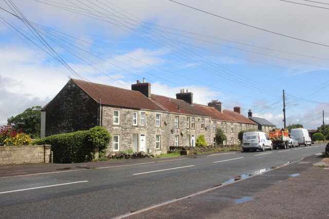
Stratton-on-the-Fosse
Stratton-on-the-Fosse is a village and civil parish located on the edge of the Mendip Hills, 2 miles (3 km) south-west of Westfield, 6 miles (10 km) north...
Holcombe, Somerset
Holcombe is a small village and civil parish (population 936) in the Mendip local government district of Somerset, England. The parish contains the hamlets...

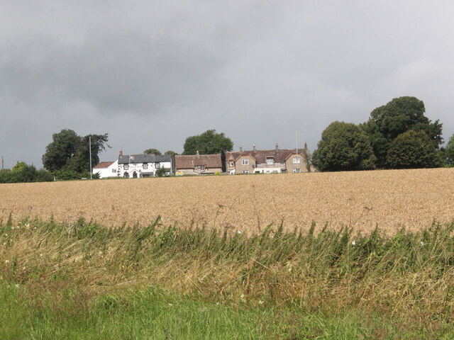
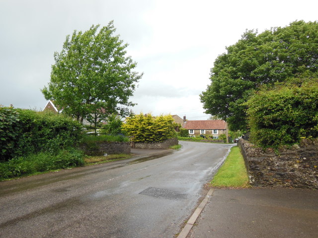
Chilcompton
Chilcompton is a village and civil parish in Somerset, England, situated in the Mendip Hills two miles south of Midsomer Norton and 3.0 miles south-west...

Chilcompton railway station
Chilcompton railway station was a station on the Somerset and Dorset Joint Railway at Chilcompton in the county of Somerset in England and opened on 20...

F. Pratten and Co Ltd
F. Pratten and Co Ltd, commonly known as Prattens, was a business located in Midsomer Norton that manufactured prefabricated buildings. Production included...
Nearby Amenities
Located within 500m of 51.256338,-2.4785549Have you been to Shoots Wood?
Leave your review of Shoots Wood below (or comments, questions and feedback).