Cotesbach
Settlement in Leicestershire Harborough
England
Cotesbach

Cotesbach is a small village located in the Harborough district of Leicestershire, England. Situated approximately 10 miles east of the city of Leicester, Cotesbach is a rural settlement with a population of around 200 people. The village is nestled within a picturesque countryside setting, surrounded by rolling fields and farmland.
Cotesbach has a rich history that dates back to the Domesday Book of 1086 when it was recorded as "Cotesbach." The village is known for its well-preserved traditional architecture, with many of its buildings dating back several centuries. The centerpiece of the village is the Cotesbach Hall, a Grade II listed country house built in the early 18th century.
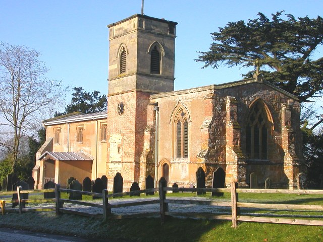
Despite its small size, Cotesbach has a close-knit community and a range of amenities to serve its residents. The village has a primary school, St. Mary's Church, a village hall, and a local pub. There are also several footpaths and bridleways in the surrounding area, making it an attractive location for outdoor enthusiasts.
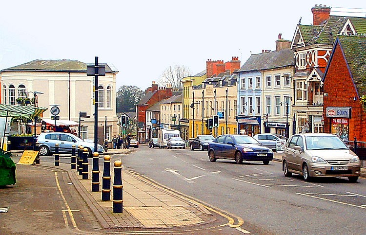
Cotesbach is conveniently located near the A426 road, providing easy access to nearby towns and cities. The village is also within proximity to the Leicester train station, offering convenient transportation links to other parts of the country.
Overall, Cotesbach offers a peaceful and idyllic countryside lifestyle, with its charming architecture, scenic surroundings, and strong sense of community.
If you have any feedback on the listing, please let us know in the comments section below.
Cotesbach Images
Images are sourced within 2km of 52.433925/-1.212645 or Grid Reference SP5382. Thanks to Geograph Open Source API. All images are credited.


Cotesbach is located at Grid Ref: SP5382 (Lat: 52.433925, Lng: -1.212645)
Administrative County: Leicestershire
District: Harborough
Police Authority: Leicestershire
What 3 Words
///stag.shadowing.shirts. Near Lutterworth, Leicestershire
Related Wikis
Cotesbach
Cotesbach is a village and civil parish in the Harborough district of Leicestershire, England. The nearest town is Lutterworth, about 1+1⁄2 miles (2.4...
A426 road
The A426 road is a road in England which runs from the city of Leicester to the market town of Southam in Warwickshire via the towns of Lutterworth and...
Shawell
Shawell is a small village in the Harborough district of Leicestershire, England. Its population at the 2001 UK census was 126, increasing to 162 at the...

Lutterworth High School
Lutterworth High School is a coeducational academy school in the market town of Lutterworth, Leicestershire. It has an age range of 11–16. The school achieved...
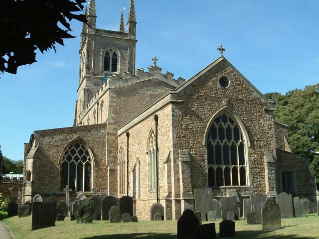
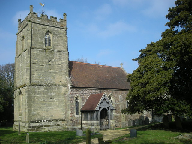
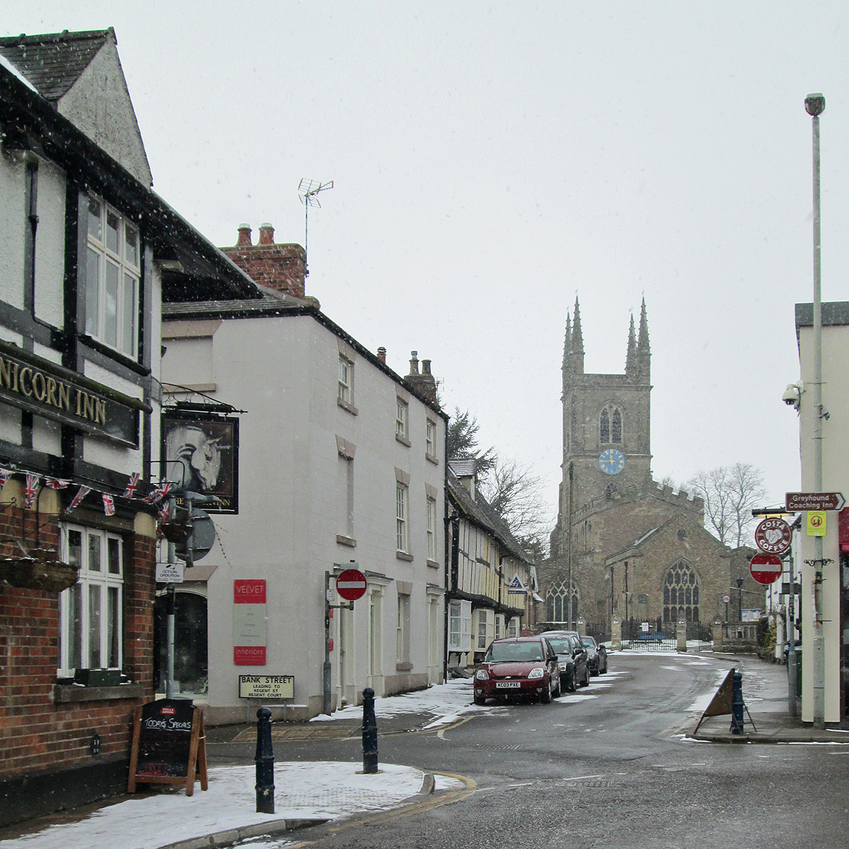
St Mary's Church, Lutterworth
St Mary's Church is the Church of England parish church of the town of Lutterworth, Leicestershire. It is listed at Grade I and is a member of the Major...
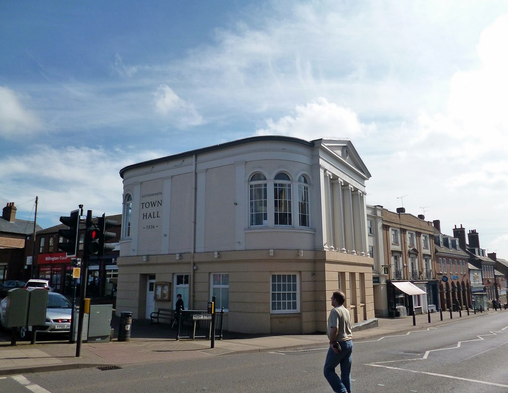
Lutterworth Town Hall
Lutterworth Town Hall is a municipal building in the High Street in Lutterworth, Leicestershire, England. The structure, which operates as a community...
Churchover
Churchover is a small village and civil parish in Warwickshire, England. The population of the parish in the 2001 census was 230, increasing to 251 at...
Lutterworth
Lutterworth is a market town and civil parish in the Harborough district of Leicestershire, England. The town is located in southern Leicestershire, close...
Nearby Amenities
Located within 500m of 52.433925,-1.212645Have you been to Cotesbach?
Leave your review of Cotesbach below (or comments, questions and feedback).