Rye Hill Wood
Wood, Forest in Lancashire Ribble Valley
England
Rye Hill Wood
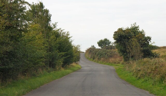
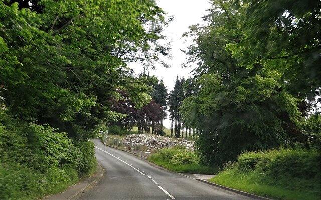
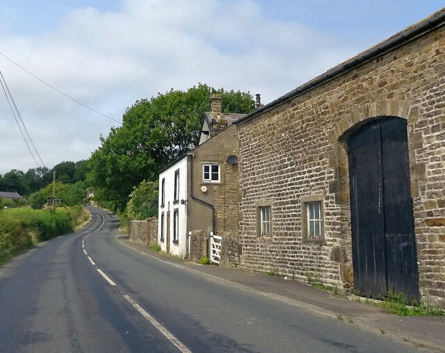
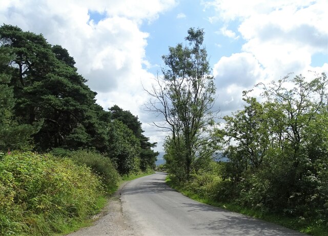
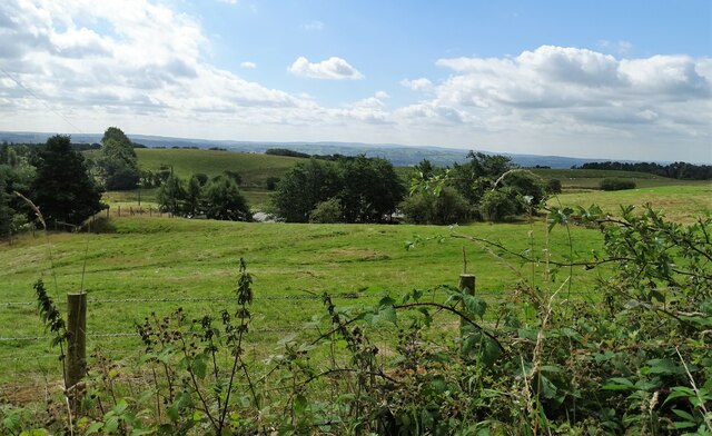
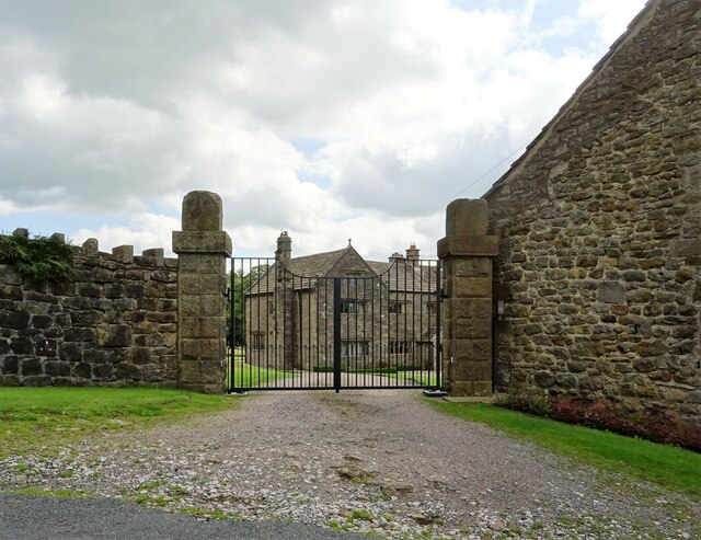
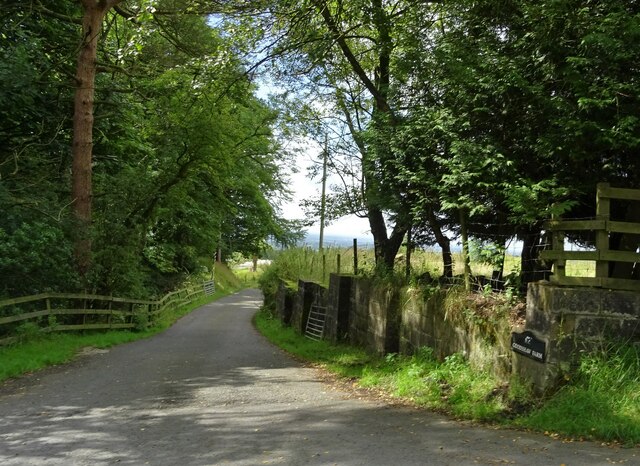
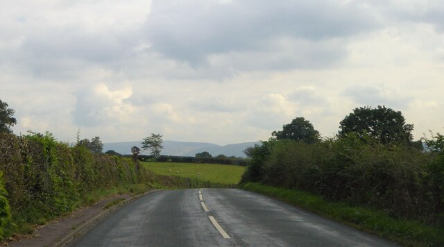
Rye Hill Wood is a picturesque woodland located in Lancashire, England. Covering an area of approximately 100 acres, it is a popular destination for nature enthusiasts and hikers alike. The wood is situated near the village of Rye Hill, surrounded by rolling hills and lush green fields.
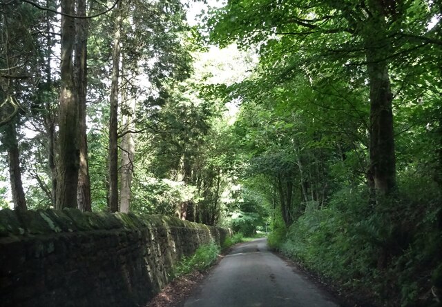
The woodland is an ancient forest, with some parts dating back as far as 400 years. It is predominantly composed of broadleaf trees, such as oak, beech, and ash, which create a beautiful canopy throughout the area. The forest floor is covered with a rich carpet of ferns, mosses, and wildflowers, adding to its natural charm.
Rye Hill Wood is home to a diverse range of wildlife, including various species of birds, mammals, and insects. Birdwatchers can spot a variety of species, such as woodpeckers, owls, and songbirds, while lucky visitors may even catch a glimpse of a red squirrel or a deer.
The wood offers several well-maintained walking trails, allowing visitors to explore its beauty at their own pace. These paths wind through the trees and provide stunning views of the surrounding countryside. Along the way, there are information boards that educate visitors about the different types of trees and wildlife found in the area.
Rye Hill Wood is a peaceful and tranquil place, offering visitors the opportunity to escape the hustle and bustle of everyday life. Whether you are a nature lover, a keen hiker, or simply seeking a place to relax, this enchanting woodland is a must-visit destination in Lancashire.
If you have any feedback on the listing, please let us know in the comments section below.
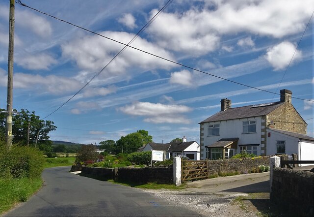
Rye Hill Wood Images
Images are sourced within 2km of 53.841795/-2.5122771 or Grid Reference SD6638. Thanks to Geograph Open Source API. All images are credited.


Rye Hill Wood is located at Grid Ref: SD6638 (Lat: 53.841795, Lng: -2.5122771)
Administrative County: Lancashire
District: Ribble Valley
Police Authority: Lancashire
What 3 Words
///reporting.munch.bubbles. Near Longridge, Lancashire
Nearby Locations
Related Wikis

Punch Bowl Inn
The Punch Bowl Inn was an 18th-century grade II-listed public house in Hurst Green, Ribble Valley, Lancashire, England. It consisted of a number of independent...

Aighton, Bailey and Chaigley
Aighton, Bailey and Chaigley is a civil parish in the Borough of Ribble Valley in Lancashire, England, just west of Clitheroe. The population of the civil...

Dutton, Lancashire
Dutton is a civil parish in the Borough of Ribble Valley in the English county of Lancashire, its principal settlement being the hamlet of Lower Dutton...

Hurst Green, Lancashire
Hurst Green is a small village in the Ribble Valley district of Lancashire, England, connected in its history to the Jesuit school, Stonyhurst College...
Longridge Fell
Longridge Fell is the most southerly fell in England, near the town of Longridge, Lancashire. It lies at the southern end of the Forest of Bowland Area...
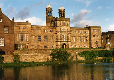
Stonyhurst
Stonyhurst is the name of a 1,000-acre (4 km2) rural estate owned by the Society of Jesus near Clitheroe in Lancashire, England. It is centred on Stonyhurst...
Stydd
The manor of Stydd is in the county of Lancashire. It is situated on the north eastern edge of the village of Ribchester. It has three notable buildings...
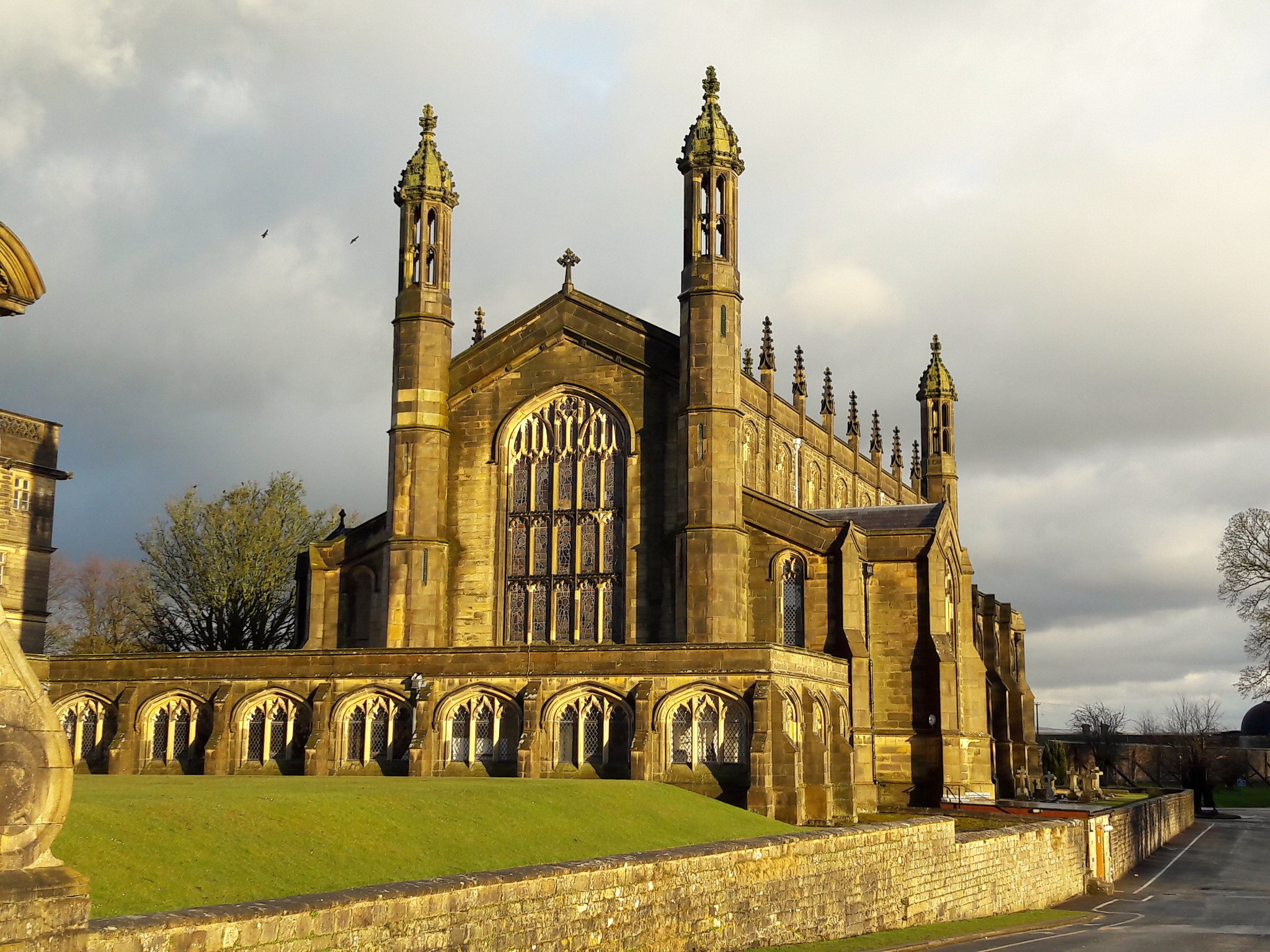
St Peter's Church, Stonyhurst
St Peter's Church is a Roman Catholic Parish Church in Stonyhurst. It is the parish church for Hurst Green, Lancashire and a chapel for Stonyhurst College...
Nearby Amenities
Located within 500m of 53.841795,-2.5122771Have you been to Rye Hill Wood?
Leave your review of Rye Hill Wood below (or comments, questions and feedback).