Tanner's Grove
Wood, Forest in Gloucestershire Forest of Dean
England
Tanner's Grove
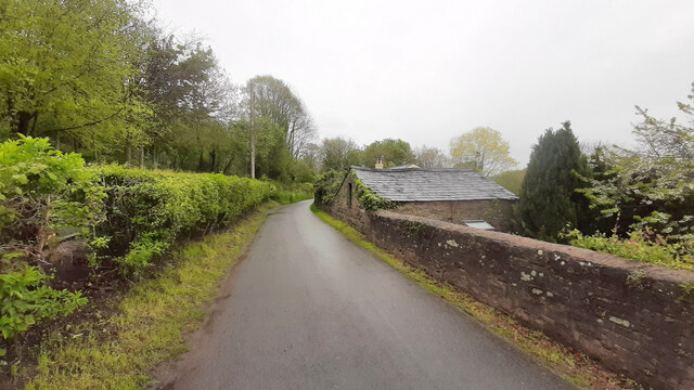
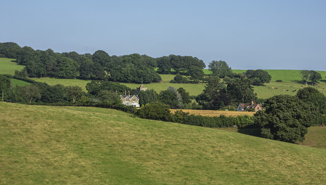
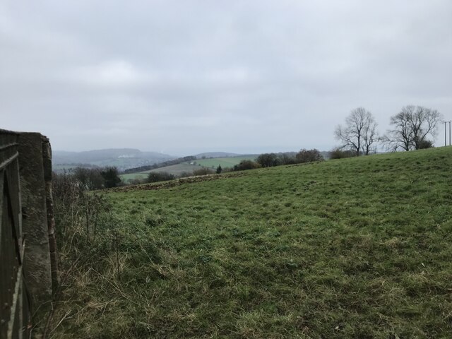
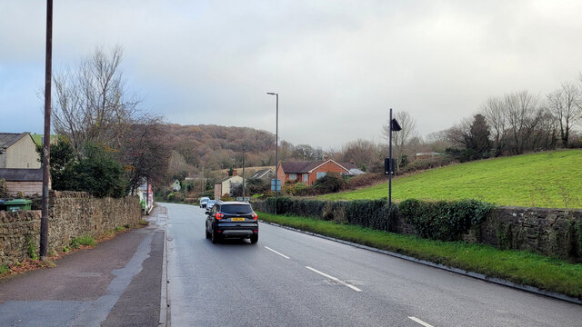
Tanner's Grove is a picturesque woodland located in Gloucestershire, England. Situated in the heart of the county, it is renowned for its natural beauty and tranquil atmosphere. The grove is nestled within the larger Forest of Dean, a vast expanse of ancient woodland that covers over 42 square miles.
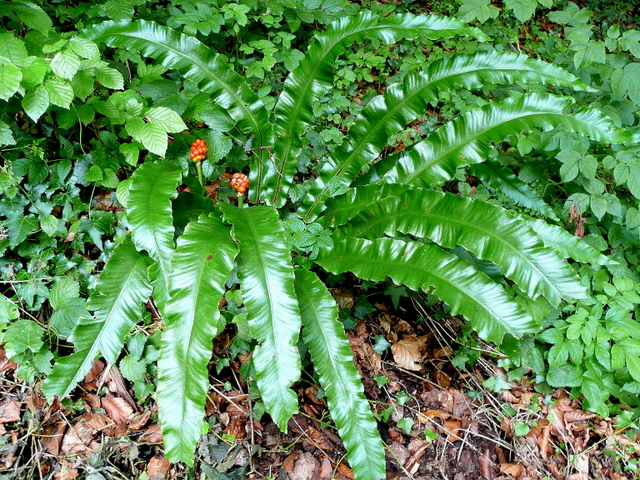
Tanner's Grove is characterized by its dense canopy of tall oak and beech trees, which provide a sheltered and shaded environment. The forest floor is carpeted with a rich variety of flora, including bluebells, wild garlic, and ferns, creating a vibrant and colorful display throughout the year.
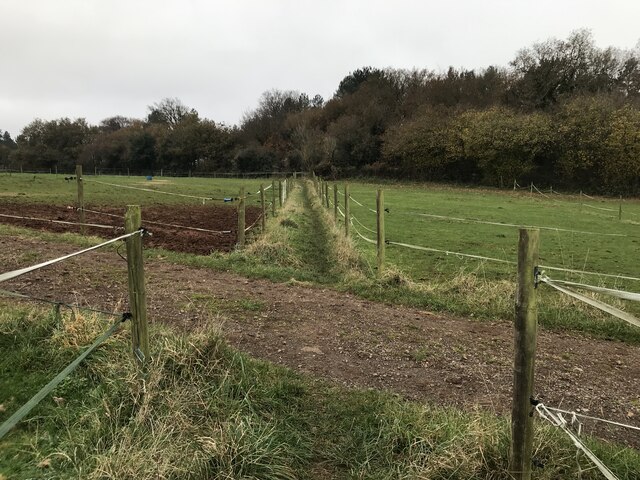
The grove is intersected by several winding footpaths, allowing visitors to explore its beauty at their own pace. These trails offer a chance to encounter the local wildlife, such as deer, foxes, and a variety of bird species, making it a popular destination for nature enthusiasts and photographers.
Tanner's Grove also holds historical significance, with remnants of an old tannery found within its boundaries. This tannery, which was used in the 19th century, played a vital role in the local economy and is a testament to the area's industrial past.
The grove is easily accessible, with ample parking facilities and well-maintained paths. It provides a peaceful retreat for those seeking a break from the hustle and bustle of city life. Whether it's a leisurely stroll, a family picnic, or a photography expedition, Tanner's Grove offers a captivating experience for all who visit.
If you have any feedback on the listing, please let us know in the comments section below.
Tanner's Grove Images
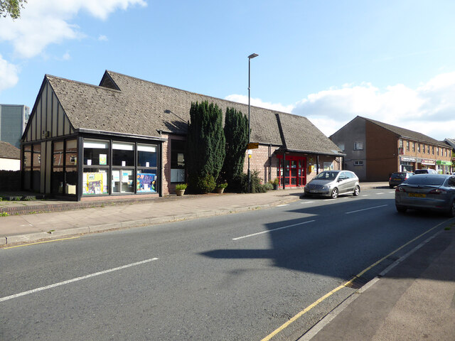
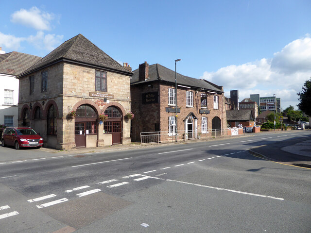
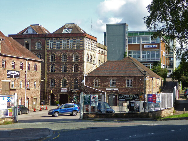
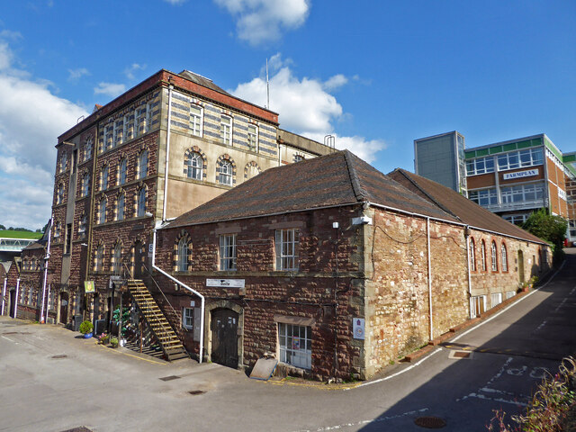
Images are sourced within 2km of 51.865264/-2.4942002 or Grid Reference SO6618. Thanks to Geograph Open Source API. All images are credited.


Tanner's Grove is located at Grid Ref: SO6618 (Lat: 51.865264, Lng: -2.4942002)
Administrative County: Gloucestershire
District: Forest of Dean
Police Authority: Gloucestershire
What 3 Words
///driftwood.thumb.bricks. Near Mitcheldean, Gloucestershire
Nearby Locations
Related Wikis

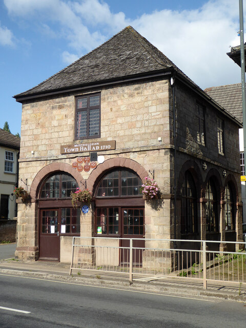
Mitcheldean
Mitcheldean is a market town in the Forest of Dean in Gloucestershire, England. == History == Mitcheldean was a thriving community for many centuries due...
Stenders Quarry
Stenders Quarry (grid reference SO659183) is a 2.8-hectare (6.9-acre) biological and geological Site of Special Scientific Interest in the Forest of Dean...

Scully Grove Quarry
Scully Grove Quarry (grid reference SO657186) is a 0.4-hectare (0.99-acre) geological Site of Special Scientific Interest in Gloucestershire, England,...

Mitcheldean Town Hall
Mitcheldean Town Hall is a municipal building in the High Street in Mitcheldean, Gloucestershire, England. The structure, which operates as the offices...
Nearby Amenities
Located within 500m of 51.865264,-2.4942002Have you been to Tanner's Grove?
Leave your review of Tanner's Grove below (or comments, questions and feedback).