Diamond Jubilee Plantation

Wood, Forest in Yorkshire Ribble Valley

England

Diamond Jubilee Plantation

Stepping Stones at Whitewell This fording point on the River Hodder is taken  looking towards the Inn At Whitewell a hotel in the ownership of the Duchy of Lancaster.
Stepping Stones at Whitewell Credit: John Walton

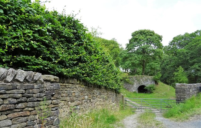
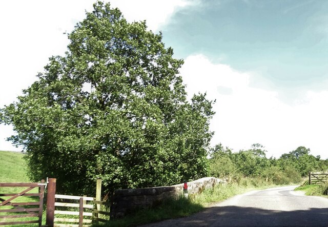
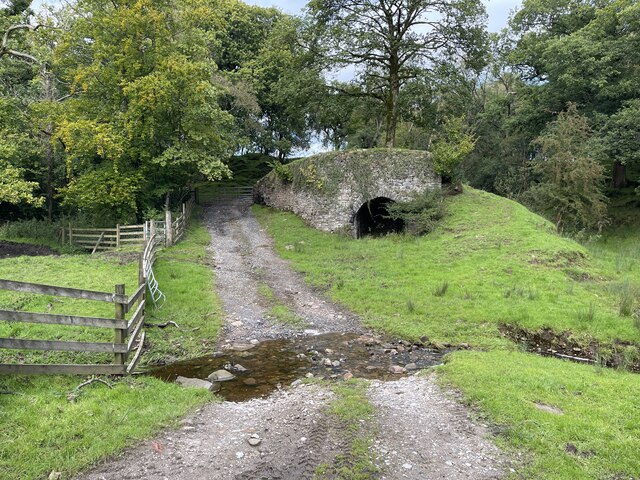
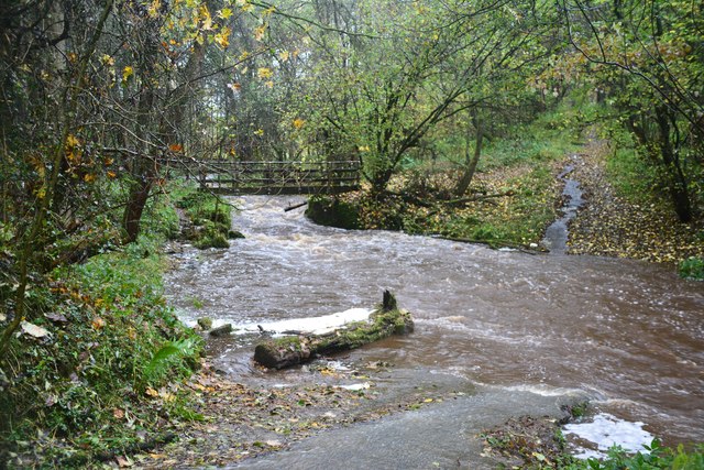
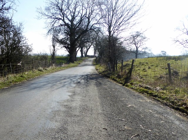
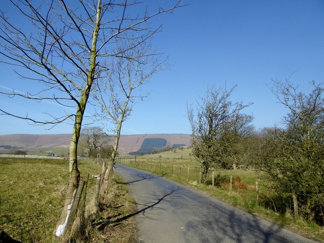
Diamond Jubilee Plantation is a beautiful woodland located in Yorkshire, England. Spanning over a vast area, the plantation is a serene and picturesque destination for nature lovers and outdoor enthusiasts. The woodland is named in honor of Queen Elizabeth II's Diamond Jubilee, celebrating her 60-year reign.

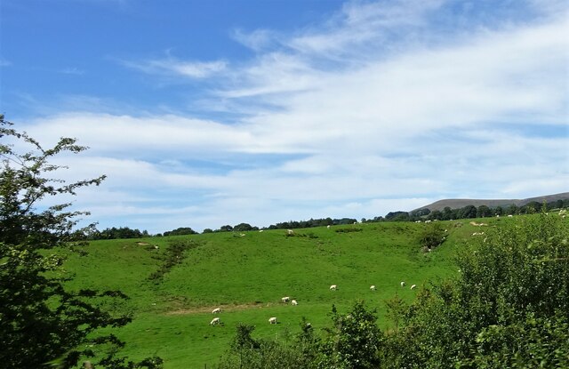
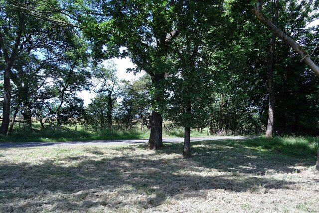
The plantation boasts a diverse range of tree species, including oak, beech, birch, and pine. These trees form a dense canopy, providing a peaceful and shaded environment for visitors to explore. The woodland floor is covered in a rich carpet of ferns, bluebells, and wildflowers, creating a vibrant and enchanting atmosphere.

Visitors to Diamond Jubilee Plantation can enjoy a multitude of activities. There are numerous walking trails that wind through the woodland, allowing visitors to immerse themselves in the natural beauty and tranquility of the area. Birdwatchers will delight in the variety of avian species that call this woodland home, including woodpeckers, owls, and various songbirds.

The plantation also offers picnic spots and designated areas for camping, making it an ideal destination for families and nature enthusiasts who want to spend a day or more in the great outdoors. The well-maintained paths and signage ensure that visitors can navigate the woodland easily and safely.

Overall, Diamond Jubilee Plantation in Yorkshire is a haven of natural beauty and serenity. With its stunning woodland, diverse flora and fauna, and various recreational activities, it provides a memorable experience for all who visit.

If you have any feedback on the listing, please let us know in the comments section below.

Diamond Jubilee Plantation Images

Images are sourced within 2km of 53.899616/-2.5181893 or Grid Reference SD6644. Thanks to Geograph Open Source API. All images are credited.

Stepping Stones at Whitewell This fording point on the River Hodder is taken  looking towards the Inn At Whitewell a hotel in the ownership of the Duchy of Lancaster.
Stepping Stones at Whitewell
This fording point on the River Hodder is taken looking towards the Inn At Whitewell a hotel in the ownership of the Duchy of Lancaster.
Lime Kiln At Cow Ark Bridge.
Lime Kiln
At Cow Ark Bridge.
Bridge over Greystoneley Brook Near Clough Wood.
Bridge over Greystoneley Brook
Near Clough Wood.
Grazing sheep Near Greystoneley on the road to Dunsop Bridge.
Grazing sheep
Near Greystoneley on the road to Dunsop Bridge.
The road to Dunsop Bridge At the junction with the track to Fair Oak Farm.
The road to Dunsop Bridge
At the junction with the track to Fair Oak Farm.
Hag Clough Ford This ford is found at Cow Ark near Whitewell close to an old lime kiln.
Hag Clough Ford
This ford is found at Cow Ark near Whitewell close to an old lime kiln.
Ford at Lower Greystoneley This ford on the Greystoneley Brook at Lower Greystoneley is shown here after heavy rain.
<span class="nowrap"><a title="https://youtu.be/NdYZhlnb7x4" rel="nofollow ugc noopener" href="https://youtu.be/NdYZhlnb7x4">Link</a><img style="margin-left:2px;" alt="External link" title="External link - shift click to open in new window" src="https://s1.geograph.org.uk/img/external.png" width="10" height="10"/></span>
Ford at Lower Greystoneley
This ford on the Greystoneley Brook at Lower Greystoneley is shown here after heavy rain. LinkExternal link
Lane at Higher Greystoneley The road from Chipping to Dunsop Bridge.
Lane at Higher Greystoneley
The road from Chipping to Dunsop Bridge.
The road from Chipping to Dunsop Bridge At Higher Greystoneley.
The road from Chipping to Dunsop Bridge
At Higher Greystoneley.
Stepping Stones Stepping stones near the Inn at Whitewell, recent heavy rainfall has raised the river level just covering many of the stones.
Stepping Stones
Stepping stones near the Inn at Whitewell, recent heavy rainfall has raised the river level just covering many of the stones.
Roman Road at Lees A tarmacked stretch of the Roman Road that runs from Ribchester, a few miles south of here towards Bainbridge fort in Wensleydale. This is one of the few obvious sections as the route is lost a little way NE of here and doesn't really appear again until the section over the fells to the NE of Ribblehead.
Roman Road at Lees
A tarmacked stretch of the Roman Road that runs from Ribchester, a few miles south of here towards Bainbridge fort in Wensleydale. This is one of the few obvious sections as the route is lost a little way NE of here and doesn't really appear again until the section over the fells to the NE of Ribblehead.
Whitewell A tiny settlement which gives its name to the surrounding Whitewell Estate of the Duchy of Lancaster.
Whitewell
A tiny settlement which gives its name to the surrounding Whitewell Estate of the Duchy of Lancaster.
Road closed The road from Whitewell towards Chipping is closed because of a landslide.
Road closed
The road from Whitewell towards Chipping is closed because of a landslide.
Footpath above Whitewell Indistinct in parts.
Footpath above Whitewell
Indistinct in parts.
Copper beech trees In Whitewell, by St. Michael's Church burial ground.
Copper beech trees
In Whitewell, by St. Michael's Church burial ground.
Stepping stones over the Hodder The only river crossing in Whitewell.
Stepping stones over the Hodder
The only river crossing in Whitewell.
The River Hodder at Whitewell Looking north east from the stepping stones which cross the river.
The River Hodder at Whitewell
Looking north east from the stepping stones which cross the river.
Stepping stones across the Hodder A means of getting to Whitewell from New Laund.
Stepping stones across the Hodder
A means of getting to Whitewell from New Laund.
Show me another place!

Diamond Jubilee Plantation is located at Grid Ref: SD6644 (Lat: 53.899616, Lng: -2.5181893)

Division: West Riding

Administrative County: Lancashire

District: Ribble Valley

Police Authority: Lancashire

What 3 Words

///raft.wheat.ambushes. Near Waddington, Lancashire

Related Wikis

Higher Lees Farmhouse

Higher Lees Farmhouse is an historic building in the English parish of Bowland Forest Low, Lancashire. It is Grade II listed, built around 1780, and is...

Lower Lees Farmhouse

Lower Lees Farmhouse is a historic building in the English parish of Bowland Forest Low, Lancashire. It is Grade II listed, built in 1678, and is a sandstone...

Cow Ark Farmhouse

Cow Ark Farmhouse is a historic building in the English parish of Bowland Forest Low, Lancashire. It is Grade II listed, built around 1780, and is a sandstone...

Whitewell

Whitewell is a village within the civil parish of Bowland Forest Low and Ribble Valley borough of Lancashire, England. It is in the Forest of Bowland Area...

Nearby Amenities

Located within 500m of 53.899616,-2.5181893
Higher Lees
Place: neighbourhood
Lat/Long: 53.8990781/-2.5140896
Middle Lees
Place: neighbourhood
Lat/Long: 53.8952724/-2.5171796
Ford: yes
Lat/Long: 53.8979131/-2.5134721
The data included in this document is from www.openstreetmap.org. The data is made available under ODbL.

Have you been to Diamond Jubilee Plantation?

Leave your review of Diamond Jubilee Plantation below (or comments, questions and feedback).