Harp Grove
Wood, Forest in Gloucestershire Forest of Dean
England
Harp Grove
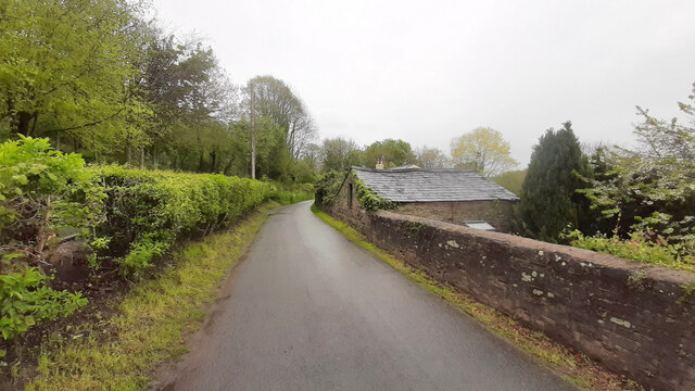
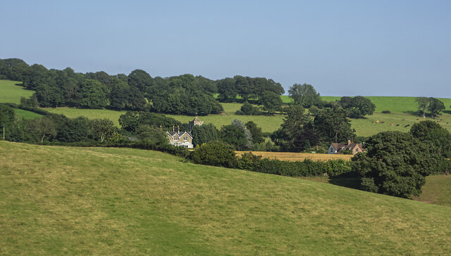
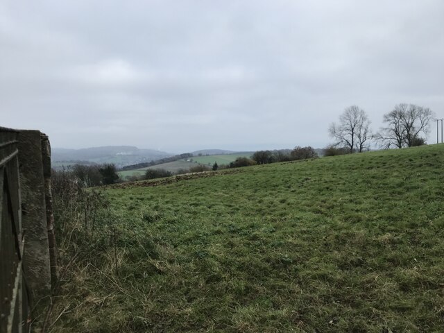
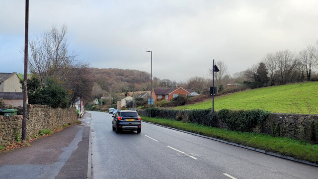
Harp Grove is a picturesque woodland located in the county of Gloucestershire, England. Situated in the heart of the Forest of Dean, this enchanting grove offers a serene and idyllic setting for nature enthusiasts and those seeking tranquility amidst the beauty of the natural world.
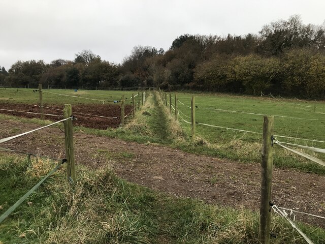
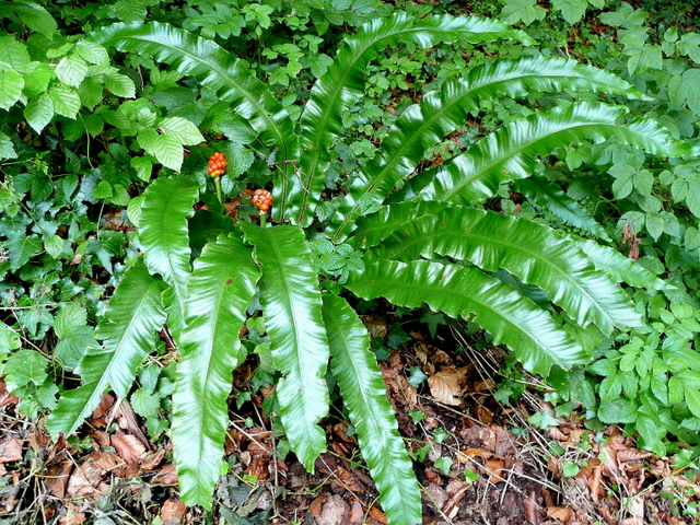
Covering an area of approximately 50 acres, Harp Grove is abundant with a wide variety of trees, including oak, beech, and birch. These towering trees create a dense canopy that casts dappled shadows on the forest floor, creating a captivating play of light and shade. The forest is also home to an array of wildlife, with sightings of deer, squirrels, and various bird species being common.
A network of well-maintained walking trails winds through the grove, offering visitors the opportunity to explore and immerse themselves in the peaceful surroundings. The trails range in difficulty and length, catering to both casual strollers and avid hikers. Along the way, visitors can discover hidden streams, moss-covered rocks, and patches of wildflowers that add to the enchantment of the grove.
Harp Grove is a popular destination for photographers, artists, and nature lovers alike, providing endless opportunities to capture the beauty of the forest. The grove is particularly renowned for its vibrant autumn colors when the leaves of the trees transform into a rich tapestry of red, orange, and gold.
Overall, Harp Grove is a hidden gem in Gloucestershire, offering a tranquil escape from the bustle of daily life. Its natural beauty, diverse wildlife, and serene atmosphere make it a must-visit destination for anyone seeking solace in the embrace of nature.
If you have any feedback on the listing, please let us know in the comments section below.
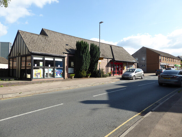
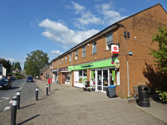
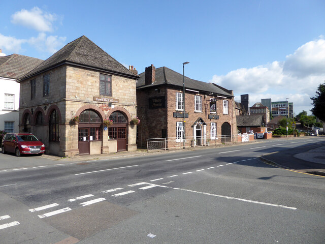
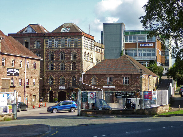
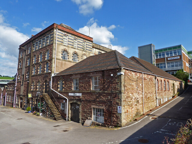
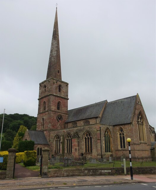
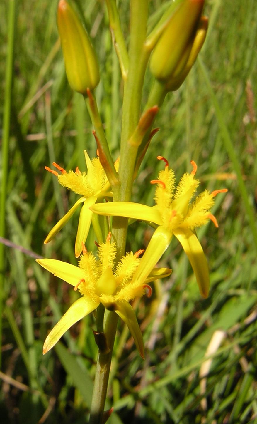
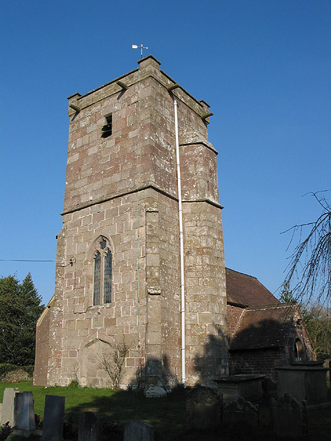
Harp Grove Images
Images are sourced within 2km of 51.869502/-2.4955829 or Grid Reference SO6519. Thanks to Geograph Open Source API. All images are credited.


Harp Grove is located at Grid Ref: SO6519 (Lat: 51.869502, Lng: -2.4955829)
Administrative County: Gloucestershire
District: Forest of Dean
Police Authority: Gloucestershire
What 3 Words
///grab.daydream.careless. Near Mitcheldean, Gloucestershire
Nearby Locations
Related Wikis

Scully Grove Quarry
Scully Grove Quarry (grid reference SO657186) is a 0.4-hectare (0.99-acre) geological Site of Special Scientific Interest in Gloucestershire, England,...

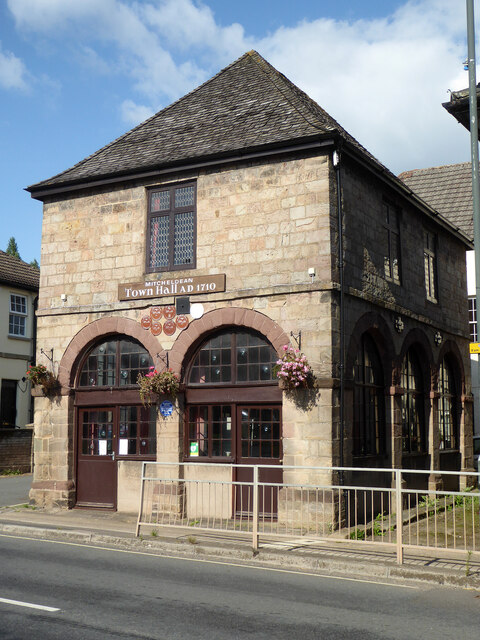
Mitcheldean Town Hall
Mitcheldean Town Hall is a municipal building in the High Street in Mitcheldean, Gloucestershire, England. The structure, which operates as the offices...

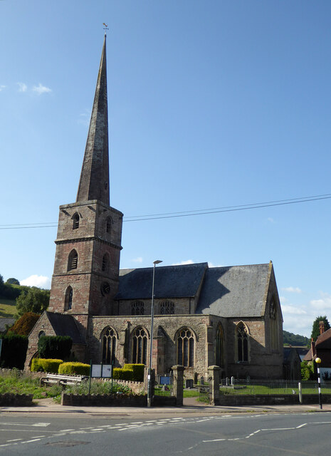
Mitcheldean
Mitcheldean is a market town in the Forest of Dean in Gloucestershire, England. == History == Mitcheldean was a thriving community for many centuries due...
Stenders Quarry
Stenders Quarry (grid reference SO659183) is a 2.8-hectare (6.9-acre) biological and geological Site of Special Scientific Interest in the Forest of Dean...

Wigpool Ironstone Mine
Wigpool Ironstone Mine (grid reference SO654197) is a 34.88-hectare (86.2-acre) biological Site of Special Scientific Interest in Gloucestershire, notified...
Wigpool
Wigpool (grid reference SO652196) is a 7.5-hectare (19-acre) nature reserve in Gloucestershire in the Forest of Dean, England.The site is managed jointly...

Boxbush
Boxbush is a village in Gloucestershire, England. == References ==
Abenhall
Abenhall is a small village and former civil parish, now in the parish of Mitcheldean, in the Forest of Dean district, in the county of Gloucestershire...
Nearby Amenities
Located within 500m of 51.869502,-2.4955829Have you been to Harp Grove?
Leave your review of Harp Grove below (or comments, questions and feedback).