Lower Caines' Coppice

Wood, Forest in Dorset

England

Lower Caines' Coppice

Remedy Rocks: fertile pasture land near High Stoy
Remedy Rocks: fertile pasture land near High Stoy Credit: Keith Salvesen

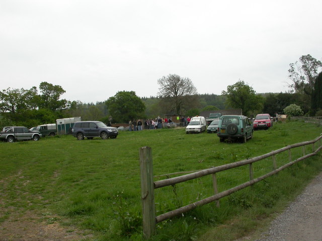
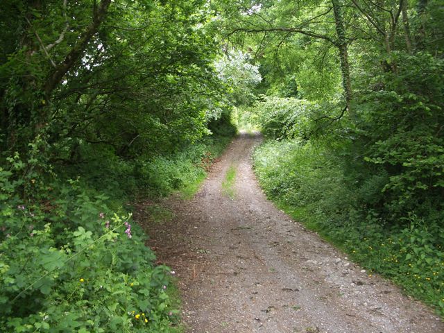
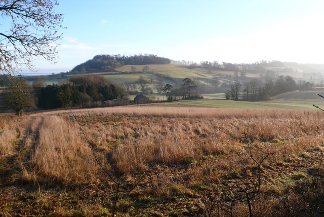
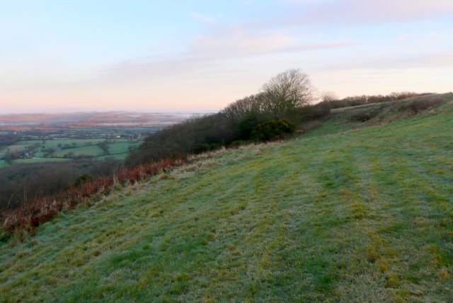
Lower Caines' Coppice is a picturesque wood located in the county of Dorset, England. Covering an area of approximately 50 acres, it is a notable example of a mixed deciduous forest. The wood is situated in a rural area, surrounded by rolling hills and fields, creating a tranquil and idyllic setting.

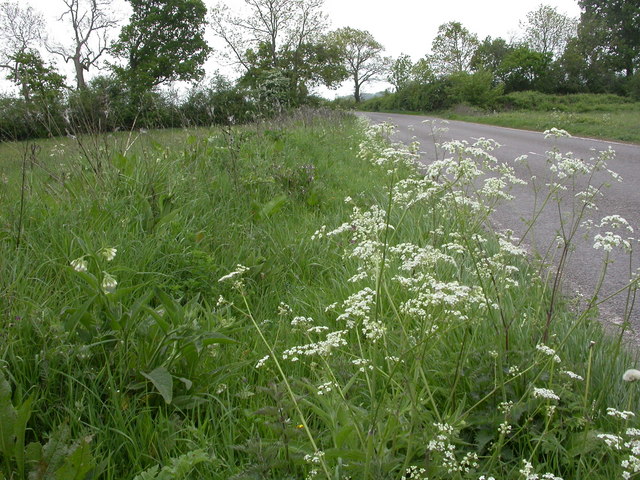
The coppice is predominantly made up of a variety of tree species, including oak, beech, ash, and birch. These trees form a dense canopy, providing shade and shelter for a diverse range of flora and fauna. The forest floor is covered with a thick layer of leaf litter, creating a rich habitat for many woodland plants, such as bluebells, primroses, and wild garlic.

Lower Caines' Coppice is a popular destination for nature enthusiasts and walkers due to its well-maintained network of footpaths and bridleways. These paths wind through the wood, allowing visitors to explore its beauty and appreciate its natural wonders. Along the way, there are several benches strategically placed for those seeking a peaceful spot to rest and take in the surroundings.

The wood is also home to a variety of wildlife, including deer, badgers, and a diverse array of bird species. Birdwatchers often visit the coppice to catch a glimpse of rare and migratory birds, such as woodpeckers, tawny owls, and nightingales.

Overall, Lower Caines' Coppice offers a serene and enchanting woodland experience. Its diverse ecosystem and peaceful atmosphere make it a haven for both nature lovers and those seeking solace in the great outdoors.

If you have any feedback on the listing, please let us know in the comments section below.

Lower Caines' Coppice Images

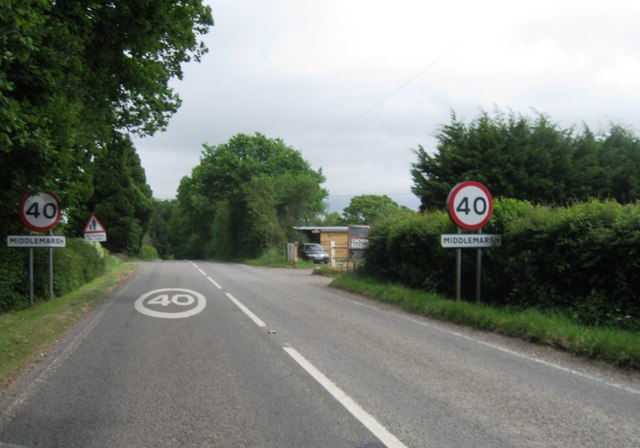
Images are sourced within 2km of 50.84833/-2.4859569 or Grid Reference ST6505. Thanks to Geograph Open Source API. All images are credited.

Remedy Rocks: fertile pasture land near High Stoy
Cosmore, Revels Farm Revels Horse Tack & Poultry Centre, busy today with a poultry auction. <span class="nowrap"><a title="http://www.clarkesauctions.co.uk/" rel="nofollow ugc noopener" href="http://www.clarkesauctions.co.uk/">Link</a><img style="margin-left:2px;" alt="External link" title="External link - shift click to open in new window" src="https://s1.geograph.org.uk/img/external.png" width="10" height="10"/></span>
Cosmore, Revels Farm
Revels Horse Tack & Poultry Centre, busy today with a poultry auction. LinkExternal link
Cosmore, poultry auction Hens, turkeys, geese, ducks, pheasants and guinea fowl for auction at Revels Farm. <span class="nowrap"><a title="http://www.clarkesauctions.co.uk/" rel="nofollow ugc noopener" href="http://www.clarkesauctions.co.uk/">Link</a><img style="margin-left:2px;" alt="External link" title="External link - shift click to open in new window" src="https://s1.geograph.org.uk/img/external.png" width="10" height="10"/></span>
Cosmore, poultry auction
Hens, turkeys, geese, ducks, pheasants and guinea fowl for auction at Revels Farm. LinkExternal link
Cosmore, cockerels These two handsome birds, simultaneously pecking at their food and then at each other, were up for sale at <a href="https://www.geograph.org.uk/photo/2388815">ST6705 : Cosmore, poultry auction</a>. Left, a Highline, went for £2.50; right, a light Brahma was unsold, with a reserve price of 50p.
Cosmore, cockerels
These two handsome birds, simultaneously pecking at their food and then at each other, were up for sale at ST6705 : Cosmore, poultry auction. Left, a Highline, went for £2.50; right, a light Brahma was unsold, with a reserve price of 50p.
Middlemarsh, wild flowers Cow parsley and comfrey along the Old Sherborne Road.
Middlemarsh, wild flowers
Cow parsley and comfrey along the Old Sherborne Road.
Middlemarsh, workshops On the site of a sawmill, on Old Sherborne Road.
Middlemarsh, workshops
On the site of a sawmill, on Old Sherborne Road.
Lyons Gate, entrance sign
Middlemarsh, entrance sign
Napier family monument - Minterne Magna parish church Robert Napier who died in 1615 built the north chapel in the church at Minterne Magna that accommodates this magnificent monument by Robert Taylor Sr. of 1725. It is dedicated principally to a descendant Sir Nathaniel Napier Bart. who died in 1708.
Napier family monument - Minterne Magna parish church
Robert Napier who died in 1615 built the north chapel in the church at Minterne Magna that accommodates this magnificent monument by Robert Taylor Sr. of 1725. It is dedicated principally to a descendant Sir Nathaniel Napier Bart. who died in 1708.
Monument to Mary Earle - Minterne Magna parish church This monument commemorates Mary, Countess Dowager of Edward Earle of Gainsborough, who died in 1693.
Monument to Mary Earle - Minterne Magna parish church
This monument commemorates Mary, Countess Dowager of Edward Earle of Gainsborough, who died in 1693.
Napier family monument - Minterne Magna parish church This Napier family monument in the church commemorates principally Sir Robert Napier who died in 1615, and his wife Magdalen who died in 1629. The lengthy inscription goes on to record details of their descendants.
Napier family monument - Minterne Magna parish church
This Napier family monument in the church commemorates principally Sir Robert Napier who died in 1615, and his wife Magdalen who died in 1629. The lengthy inscription goes on to record details of their descendants.
Monument to Charles Churchill - Minterne Magna parish church Charles Churchill was the fourth son of the first Sir Winston Churchill of Minterne House. The inscription records that aged 13 he was Page of Honour to Christian, King of Denmark, and at 16 appointed Gentleman of the Bedchamber to his brother Prince George. After a distinguished military career, he fought alongside his brother the Duke of Marlborough at Blenheim, and died in 1714 at the age of 56. <a title="https://www.geograph.org.uk/photo/2429463" href="https://www.geograph.org.uk/photo/2429463">Link</a>
Monument to Charles Churchill - Minterne Magna parish church
Charles Churchill was the fourth son of the first Sir Winston Churchill of Minterne House. The inscription records that aged 13 he was Page of Honour to Christian, King of Denmark, and at 16 appointed Gentleman of the Bedchamber to his brother Prince George. After a distinguished military career, he fought alongside his brother the Duke of Marlborough at Blenheim, and died in 1714 at the age of 56. Link
Monument to Charles Churchill - Minterne Magna parish church (detail) This is a close-up of the monument's inscription.
Monument to Charles Churchill - Minterne Magna parish church (detail)
This is a close-up of the monument's inscription.
Minterne Magna parish church Dedicated to St Andrew, the church is in the Perpendicular style of c.1610-20, and of 1800. It is renowned for the fine memorials to members of the Churchill, Napier, and Digby families.
Minterne Magna parish church
Dedicated to St Andrew, the church is in the Perpendicular style of c.1610-20, and of 1800. It is renowned for the fine memorials to members of the Churchill, Napier, and Digby families.
Park Pale: the start of the ancient track to Dogbury Gate on Little Minterne Hill
Bridle path in Minterne Seat Coppice, Dorset Mintern Seat Coppice is a site of ancient woodland boasting a magnificent display of bluebells
Bridle path in Minterne Seat Coppice, Dorset
Mintern Seat Coppice is a site of ancient woodland boasting a magnificent display of bluebells
Entrance to Minterne Magna
Fishing lake at Revels farm Revels Farm fishery is attractively located in the rolling hills of Dorset
Fishing lake at Revels farm
Revels Farm fishery is attractively located in the rolling hills of Dorset
Show me another place!

Lower Caines' Coppice is located at Grid Ref: ST6505 (Lat: 50.84833, Lng: -2.4859569)

Unitary Authority: Dorset

Police Authority: Dorset

What 3 Words

///survivor.enjoy.haircuts. Near Yetminster, Dorset

Related Wikis

Dogbury Hill

At 248 metres (814 ft), Dogbury Hill is one of the highest hills in the county of Dorset, England. It is the site of a prehistoric hill fort. == Location... ==

River Cerne

The River Cerne is a 10 mi (16 km) river in Dorset, England, which rises in the Chalk hills of the Dorset Downs at Minterne Magna, between High Stoy and...

Minterne Magna

Minterne Magna is a village and civil parish in Dorset, England, situated midway between Dorchester and Sherborne. In the 2011 census the parish had a...

Telegraph Hill, Dorset

Telegraph Hill (267 metres, 876 feet high) is a hill about 1 mile northwest of Minterne Magna and about 10 miles north of Dorchester in the county of Dorset...

Nearby Amenities

Located within 500m of 50.84833,-2.4859569
Post Box
Post Box Type: wall
Ref: DT2 7
Ref GB Uprn: 10015402981
Royal Cypher: VR
Royal Cypher Wikidata: Q33102356
Lat/Long: 50.8511063/-2.4836773
Lyon's Gate
Place: hamlet
Lat/Long: 50.8518421/-2.4829692
Direction: 285
Generator Method: photovoltaic
Generator Output Electricity: yes
Generator Solar Modules: 4
Generator Source: solar
Generator Type: solar_photovoltaic_panel
Location: roof
Power: generator
Lat/Long: 50.8515132/-2.4835264
Direction: 195
Generator Method: photovoltaic
Generator Output Electricity: yes
Generator Solar Modules: 8
Generator Source: solar
Generator Type: solar_photovoltaic_panel
Location: roof
Power: generator
Lat/Long: 50.8514579/-2.4835173
Direction: 165
Generator Method: photovoltaic
Generator Output Electricity: yes
Generator Solar Modules: 18
Generator Source: solar
Generator Type: solar_photovoltaic_panel
Location: roof
Power: generator
Lat/Long: 50.8496551/-2.4852306
Direction: 145
Generator Method: photovoltaic
Generator Output Electricity: yes
Generator Solar Modules: 12
Generator Source: solar
Generator Type: solar_photovoltaic_panel
Location: roof
Power: generator
Lat/Long: 50.8521431/-2.48277
The data included in this document is from www.openstreetmap.org. The data is made available under ODbL.

Have you been to Lower Caines' Coppice?

Leave your review of Lower Caines' Coppice below (or comments, questions and feedback).