Ivah Hill Wood

Wood, Forest in Lancashire Lancaster

England

Ivah Hill Wood

Cattle grid and open fell boundary at Willy Close Barn on the Slaidburn Road
Cattle grid and open fell boundary at Willy Close Barn on the Slaidburn Road Credit: shikari

Ivah Hill Wood is a picturesque woodland located in Lancashire, England. Covering an area of approximately 50 acres, this ancient forest is a haven for nature enthusiasts and offers a tranquil escape from the hustle and bustle of city life.

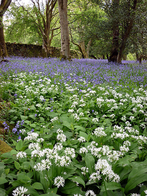
The woodland is characterized by its dense canopy of tall, mature trees, predominantly oak and beech, which provide ample shade and create a serene atmosphere. The forest floor is covered in a thick carpet of mosses, ferns, and wildflowers, adding to the enchanting beauty of the landscape.

Ivah Hill Wood is home to a diverse range of flora and fauna. Birdsong fills the air, as various species including woodpeckers, thrushes, and owls make their homes within the forest. Squirrels can often be spotted scampering through the trees, while deer and rabbits roam freely in the undergrowth.

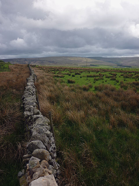
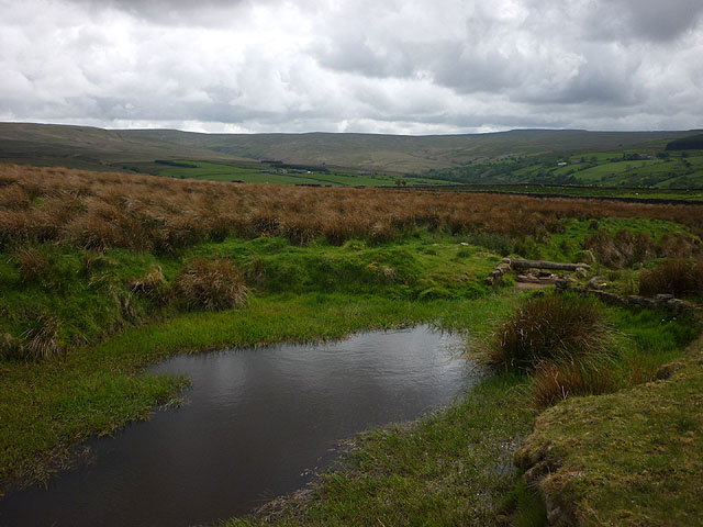
Several walking trails wind their way through the woodland, allowing visitors to explore its natural wonders. These paths lead to hidden glens, babbling brooks, and stunning viewpoints, providing breathtaking glimpses of the surrounding countryside.

Ivah Hill Wood is managed by the local authorities and is open to the public throughout the year. It is a popular destination for nature walks, picnics, and photography, attracting visitors of all ages. The forest provides a peaceful retreat for those seeking solace in nature and serves as an important habitat for wildlife conservation in Lancashire.

If you have any feedback on the listing, please let us know in the comments section below.

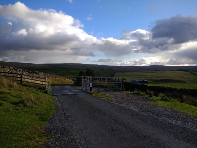
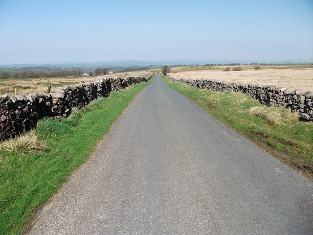
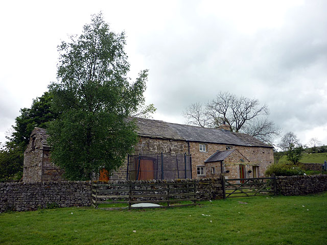
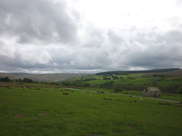
Ivah Hill Wood Images

Images are sourced within 2km of 54.075288/-2.5251746 or Grid Reference SD6564. Thanks to Geograph Open Source API. All images are credited.

Cattle grid and open fell boundary at Willy Close Barn on the Slaidburn Road
Silly Lane Looking NNW along Silly Lane
Silly Lane
Looking NNW along Silly Lane
Helks Bank Farm Set high above the upper reaches of the River Hindburn.
Helks Bank Farm
Set high above the upper reaches of the River Hindburn.
Elks Farm A converted farmhouse overlooking the valley one of the Hindburn feeders (Mill Beck?).
Elks Farm
A converted farmhouse overlooking the valley one of the Hindburn feeders (Mill Beck?).
Memorial in the woods The footpath by Mill Beck passes through a lovely stretch of bluebell wood. 'In loving memory of Joyce and Arthur Fairhurst'.
Memorial in the woods
The footpath by Mill Beck passes through a lovely stretch of bluebell wood. 'In loving memory of Joyce and Arthur Fairhurst'.
Above the upper Hindburn In the foreground is the track to Swans.
Above the upper Hindburn
In the foreground is the track to Swans.
Ramsons and bluebells, Hindburn Stimulation for nose and eye at Hollinhurst Wood.
Ramsons and bluebells, Hindburn
Stimulation for nose and eye at Hollinhurst Wood.
Wall, Tatham Fells Alongside the footpath to Higher Lythe.
Wall, Tatham Fells
Alongside the footpath to Higher Lythe.
Pool, Williamson's Gill A small dam holds back an artificial pool at the point where the footpath crosses the beck. It is lower than the nearby settlement at Higher Lythe and seems too grand for an animal water supply.
Pool, Williamson's Gill
A small dam holds back an artificial pool at the point where the footpath crosses the beck. It is lower than the nearby settlement at Higher Lythe and seems too grand for an animal water supply.
Sheep pasture, Higher Lythe Looking into the headwaters of the River Hindburn.
Sheep pasture, Higher Lythe
Looking into the headwaters of the River Hindburn.
Bank End, Tatham Fells Isolated farmstead in the upper reaches of Hindburn.
Bank End, Tatham Fells
Isolated farmstead in the upper reaches of Hindburn.
Footpath to Whitray The right of way runs alongside this pine plantation then enters the block ahead where it is an awkward passage through bog and rough grass - obviously not a popular route.
Footpath to Whitray
The right of way runs alongside this pine plantation then enters the block ahead where it is an awkward passage through bog and rough grass - obviously not a popular route.
New Close Barn
New Close Barn
Bench mark, Birks Barn
Botton Road Wet from a passing heavy shower.
Botton Road
Wet from a passing heavy shower.
Botton Mill Converted to a home, currently being re-furbished. There looks to be a drop-off in the stream which probably provided a head of water to power a wheel.
Botton Mill
Converted to a home, currently being re-furbished. There looks to be a drop-off in the stream which probably provided a head of water to power a wheel.
Botton Mill Converted to a dwelling and currently being extended/re-furbished.
Botton Mill
Converted to a dwelling and currently being extended/re-furbished.
Botton Road Looking into the headwaters of the River Hindburn.
Botton Road
Looking into the headwaters of the River Hindburn.
Show me another place!

Ivah Hill Wood is located at Grid Ref: SD6564 (Lat: 54.075288, Lng: -2.5251746)

Administrative County: Lancashire

District: Lancaster

Police Authority: Lancashire

What 3 Words

///tasks.danger.healers. Near High Bentham, North Yorkshire

Related Wikis

Church of the Good Shepherd, Tatham

The Church of the Good Shepherd is on Tatham Fell in Lancashire, England. It is an active Anglican parish church in the deanery of Tunstall, the archdeaconry...

Great Stone of Fourstones

The Great Stone of Fourstones, or the Big Stone as it is known locally, is a glacial deposit on the moorlands of Tatham Fells, England, straddling the...

St Margaret's Church, High Bentham

St Margaret's Church is in Station Road, High Bentham, North Yorkshire, England. It is an Anglican parish church in the deanery of Ewecross, the archdeaconry...

Bentham railway station

Bentham is a railway station on the Bentham Line, which runs between Leeds and Morecambe via Skipton. The station, situated 19 miles (31 km) east of Lancaster...

Nearby Amenities

Located within 500m of 54.075288,-2.5251746
Telephone
Booth: K6
Covered: booth
Listed Status: Grade II
Lat/Long: 54.0776224/-2.5316782
Generator Method: photovoltaic
Generator Orientation: south
Generator Output Electricity: yes
Generator Solar Modules: 8
Generator Source: solar
Generator Type: solar_photovoltaic_panel
Location: roof
Power: generator
Lat/Long: 54.0735169/-2.5295812
Generator Method: photovoltaic
Generator Orientation: east
Generator Output Electricity: yes
Generator Solar Modules: 16
Generator Source: solar
Generator Type: solar_photovoltaic_panel
Location: roof
Power: generator
Lat/Long: 54.0734823/-2.5297945
Generator Method: photovoltaic
Generator Orientation: west
Generator Output Electricity: yes
Generator Solar Modules: 16
Generator Source: solar
Generator Type: solar_photovoltaic_panel
Location: roof
Power: generator
Lat/Long: 54.0734823/-2.5298879
Barrier: stile
Material: wood
Stile: stepover
Lat/Long: 54.0752803/-2.5258813
Barrier: stile
Lat/Long: 54.0779186/-2.5279873
Barrier: stile
Material: wood
Stile: stepover
Lat/Long: 54.0747949/-2.5282432
Barrier: stile
Material: wood
Stile: stepover
Lat/Long: 54.0755638/-2.5256654
Barrier: stile
Material: stone
Stile: stepover
Lat/Long: 54.0764739/-2.5235637
Power: pole
Lat/Long: 54.07827/-2.5288181
Power: pole
Lat/Long: 54.0777664/-2.5287564
Power: pole
Lat/Long: 54.0772864/-2.5287108
Power: pole
Lat/Long: 54.0789857/-2.5288982
The data included in this document is from www.openstreetmap.org. The data is made available under ODbL.

Have you been to Ivah Hill Wood?

Leave your review of Ivah Hill Wood below (or comments, questions and feedback).