Fairy Hole Wood
Wood, Forest in Lancashire Ribble Valley
England
Fairy Hole Wood

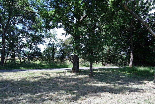
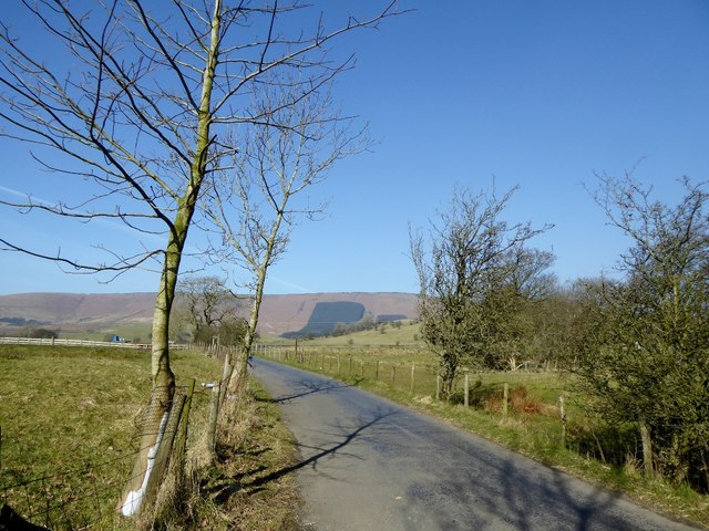
Fairy Hole Wood is a picturesque woodland located in Lancashire, England. Covering an area of approximately 50 acres, this enchanting forest is a beloved destination for nature lovers and outdoor enthusiasts alike.
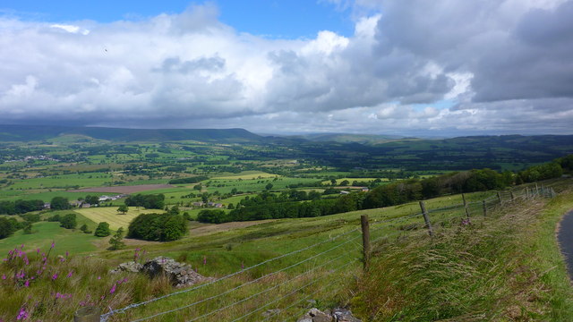
Situated near the village of Hurst Green, Fairy Hole Wood is renowned for its diverse and vibrant ecosystem. The woodland is predominantly composed of ancient oak trees, which provide a towering canopy and create a magical atmosphere. The forest floor is adorned with a rich array of flora, including bluebells, primroses, and wild garlic, which carpet the ground during the spring months.
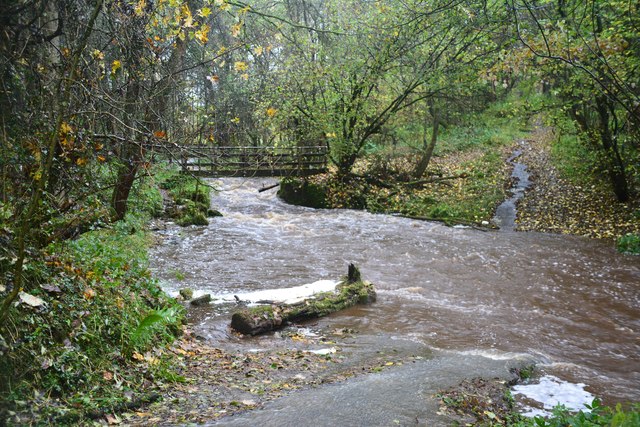
The presence of a small stream that meanders through the wood adds to its allure. The babbling brook is not only a pleasant sight but also provides a habitat for various aquatic creatures. The stream's gentle murmurs create a soothing soundtrack that adds to the tranquility of the woodland.
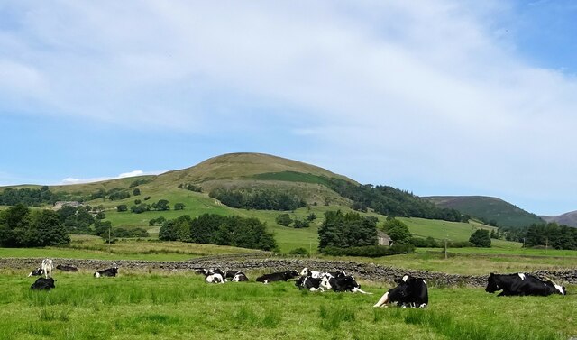
Fairy Hole Wood is also home to a diverse range of wildlife. Visitors may catch a glimpse of roe deer, foxes, and a variety of bird species, including woodpeckers and owls. The forest provides a sanctuary for these creatures, offering ample food sources and shelter.
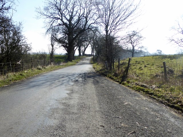
The woodland is open to the public and offers several well-marked walking trails, allowing visitors to explore its natural beauty at their leisure. Whether it's a leisurely stroll or a more adventurous hike, Fairy Hole Wood provides an idyllic setting for outdoor activities.
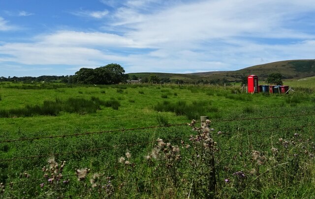
Overall, Fairy Hole Wood is a captivating forest that captivates visitors with its ancient oaks, vibrant flora, and abundant wildlife. Its serene ambiance and natural splendor make it a popular destination for nature enthusiasts seeking solace in Lancashire's countryside.
If you have any feedback on the listing, please let us know in the comments section below.
Fairy Hole Wood Images
Images are sourced within 2km of 53.915806/-2.5257281 or Grid Reference SD6546. Thanks to Geograph Open Source API. All images are credited.


Fairy Hole Wood is located at Grid Ref: SD6546 (Lat: 53.915806, Lng: -2.5257281)
Administrative County: Lancashire
District: Ribble Valley
Police Authority: Lancashire
What 3 Words
///disbanded.cried.scrubber. Near Waddington, Lancashire
Nearby Locations
Related Wikis

Whitewell
Whitewell is a village within the civil parish of Bowland Forest Low and Ribble Valley borough of Lancashire, England. It is in the Forest of Bowland Area...

Whitewell Hotel
Whitewell Hotel is an historic building in the English parish of Bowland Forest Low, Lancashire. It is Grade II listed, built in 1836, and is in sandstone...

Higher Lees Farmhouse
Higher Lees Farmhouse is an historic building in the English parish of Bowland Forest Low, Lancashire. It is Grade II listed, built around 1780, and is...

Cow Ark Farmhouse
Cow Ark Farmhouse is a historic building in the English parish of Bowland Forest Low, Lancashire. It is Grade II listed, built around 1780, and is a sandstone...

Bowland Rural District
Bowland was a rural district in the West Riding of Yorkshire from 1894 to 1974. It was named after the Forest of Bowland, which it included. It was formed...

Bowland Forest Low
Bowland Forest Low is a civil parish in the Ribble Valley district of Lancashire, England, covering some 5,500 acres (22 km2) of the Forest of Bowland...

Lower Lees Farmhouse
Lower Lees Farmhouse is a historic building in the English parish of Bowland Forest Low, Lancashire. It is Grade II listed, built in 1678, and is a sandstone...

Langden Brook
Langden Brook is a watercourse in the Trough of Bowland, Lancashire, England. A tributary of the River Hodder, its source is near the summit of Hawthornthwaite...
Nearby Amenities
Located within 500m of 53.915806,-2.5257281Have you been to Fairy Hole Wood?
Leave your review of Fairy Hole Wood below (or comments, questions and feedback).