Brook Plantation
Wood, Forest in Lancashire Ribble Valley
England
Brook Plantation

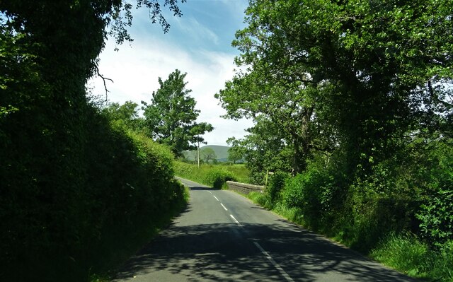
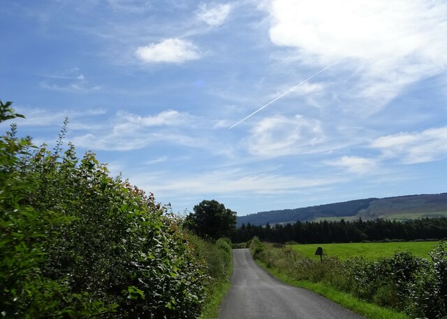
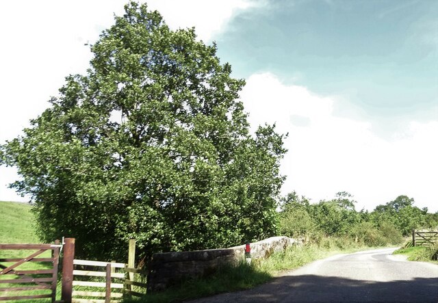
Brook Plantation, located in Lancashire, is a picturesque woodland area known for its natural beauty and serene environment. Situated in the northwestern part of England, the plantation covers a vast expanse of land, encompassing dense forests and meandering brooks.
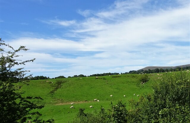
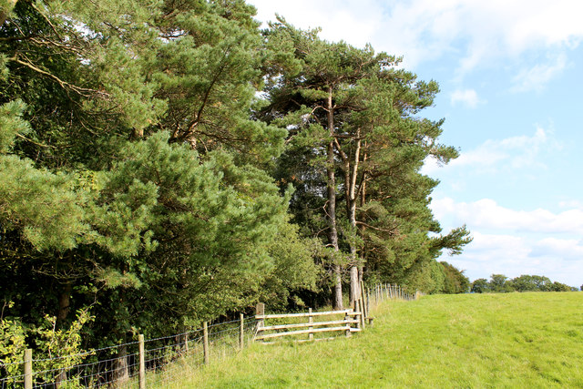
The plantation is named after the brooks that flow through its grounds, adding to its charm and providing a rich habitat for a variety of flora and fauna. The woodlands are primarily composed of native tree species such as oak, beech, and birch, creating a diverse and vibrant ecosystem. The dense canopy of these trees provides shade and shelter for various wildlife species, including birds, squirrels, and deer.
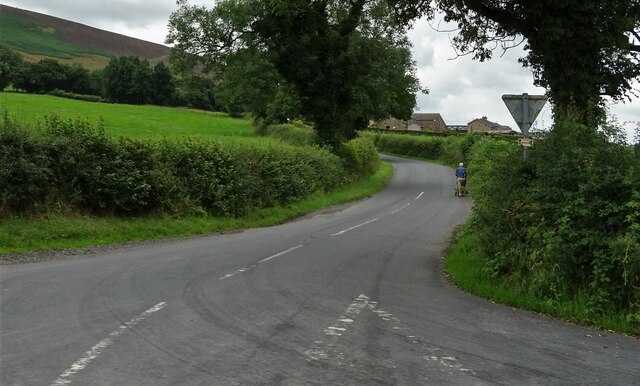
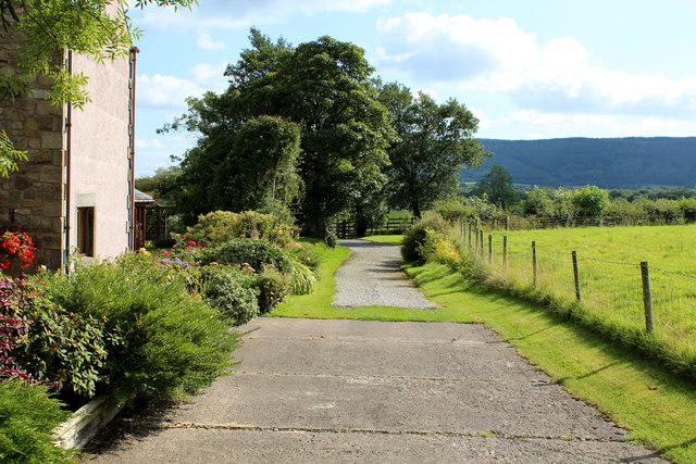
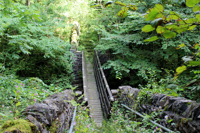
Walking through Brook Plantation, visitors can enjoy the tranquility of nature while exploring its well-maintained trails. The paths wind through the woodland, allowing visitors to immerse themselves in the sights, sounds, and scents of the forest. The plantation is a haven for nature enthusiasts, offering opportunities for birdwatching, photography, and peaceful picnics amidst the lush greenery.
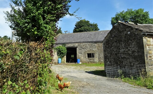
Brook Plantation is also of historical significance, with remnants of old structures and an ancient well that date back centuries. The plantation has been carefully preserved and managed, ensuring the conservation of its natural resources and historical heritage.
Overall, Brook Plantation in Lancashire is a haven of natural beauty, offering visitors a chance to connect with nature, discover its rich history, and experience the calming effects of the woodlands.
If you have any feedback on the listing, please let us know in the comments section below.
Brook Plantation Images
Images are sourced within 2km of 53.88273/-2.527899 or Grid Reference SD6543. Thanks to Geograph Open Source API. All images are credited.


Brook Plantation is located at Grid Ref: SD6543 (Lat: 53.88273, Lng: -2.527899)
Administrative County: Lancashire
District: Ribble Valley
Police Authority: Lancashire
What 3 Words
///hiker.approvals.spray. Near Longridge, Lancashire
Nearby Locations
Related Wikis

River Loud
The River Loud is a river of Lancashire, England. Starting out on Parlick, the Loud meanders mainly through the parish of Chipping, tracing its course...

Lower Lees Farmhouse
Lower Lees Farmhouse is a historic building in the English parish of Bowland Forest Low, Lancashire. It is Grade II listed, built in 1678, and is a sandstone...

Higher Lees Farmhouse
Higher Lees Farmhouse is an historic building in the English parish of Bowland Forest Low, Lancashire. It is Grade II listed, built around 1780, and is...

Longridge Fell
Longridge Fell is the most southerly fell in England, near the town of Longridge, Lancashire. It lies at the southern end of the Forest of Bowland Area...

Bowland-with-Leagram
Bowland-with-Leagram is a civil parish in the Ribble Valley district of Lancashire, England, covering part of the Forest of Bowland. According to the census...

Cow Ark Farmhouse
Cow Ark Farmhouse is a historic building in the English parish of Bowland Forest Low, Lancashire. It is Grade II listed, built around 1780, and is a sandstone...

Chipping, Lancashire
Chipping is a village and civil parish in the borough of Ribble Valley, Lancashire, England, within the Forest of Bowland Area of Outstanding Natural Beauty...
St Bartholomew's Church, Chipping
St Bartholomew's Church is in the village of Chipping, Lancashire, England. It is an active Anglican parish church in the deanery of Whalley, the archdeaconry...
Nearby Amenities
Located within 500m of 53.88273,-2.527899Have you been to Brook Plantation?
Leave your review of Brook Plantation below (or comments, questions and feedback).