Vetch Hole Wood

Wood, Forest in Lancashire

England

Vetch Hole Wood

Waste Water Conduit over Trout Brook A pipe bridge which transports raw sewerage from Blackburn to the treatment facility at Salmesbury.
Waste Water Conduit over Trout Brook Credit: Chris Heaton

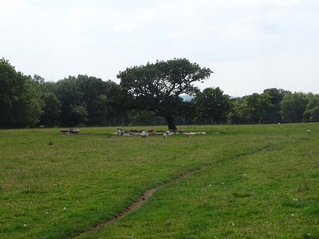
Vetch Hole Wood is a picturesque woodland located in Lancashire, England. Covering an area of approximately 100 acres, it is a popular destination for nature enthusiasts and outdoor enthusiasts alike. The wood is known for its diverse range of flora and fauna, making it an ideal spot for wildlife watching and nature walks.

The wood is characterized by its dense canopy of trees, which primarily consist of oak, beech, and birch. These towering trees provide shelter and food for a variety of bird species, including woodpeckers, owls, and songbirds. Additionally, the wood is home to small mammals such as squirrels, foxes, and badgers, which can often be spotted roaming through the undergrowth.

Vetch Hole Wood is crisscrossed by several walking trails, allowing visitors to explore its natural beauty at their own pace. The paths wind through the wood, leading to tranquil spots such as a babbling brook and a small pond. These areas provide opportunities for visitors to relax, picnic, or simply immerse themselves in the peaceful surroundings.

Moreover, the wood is managed by a local conservation group, ensuring its preservation and protection. This management includes regular tree maintenance, removal of invasive species, and the creation of wildlife habitats. As a result, Vetch Hole Wood is not only a beautiful natural space but also a thriving ecosystem that supports a wide range of plant and animal life.

Overall, Vetch Hole Wood offers a serene and enchanting escape from the hustle and bustle of everyday life, providing visitors with a chance to connect with nature and appreciate the wonders of Lancashire's woodland heritage.

If you have any feedback on the listing, please let us know in the comments section below.

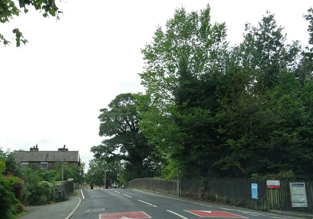
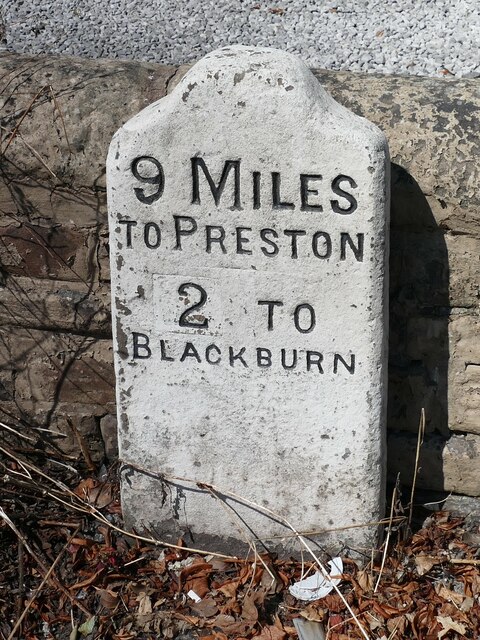
Vetch Hole Wood Images

Images are sourced within 2km of 53.745506/-2.5286027 or Grid Reference SD6527. Thanks to Geograph Open Source API. All images are credited.

Waste Water Conduit over Trout Brook A pipe bridge which transports raw sewerage from Blackburn to the treatment facility at Salmesbury.
Waste Water Conduit over Trout Brook
A pipe bridge which transports raw sewerage from Blackburn to the treatment facility at Salmesbury.
Long Lane Descending towards the community of Pleasington
Long Lane
Descending towards the community of Pleasington
Pleasington Priory churchyard Looking north from the church door.
Pleasington Priory churchyard
Looking north from the church door.
Gateway to Pleasington Priory The R.C. church is dedicated to Ss. Mary and John the Baptist. It is within the parish of St. Oscar Romero in the Diocese of Salford.
Gateway to Pleasington Priory
The R.C. church is dedicated to Ss. Mary and John the Baptist. It is within the parish of St. Oscar Romero in the Diocese of Salford.
The Butlers Arms The pub, in Pleasington, is currently closed and the lease is for sale.
The Butlers Arms
The pub, in Pleasington, is currently closed and the lease is for sale.
Car park entrance The church car park in Pleasington is off Priory Close.
Car park entrance
The church car park in Pleasington is off Priory Close.
Victoria Road, Pleasington At the bridge over the line at Pleasington railway station.
Victoria Road, Pleasington
At the bridge over the line at Pleasington railway station.
Old Milestone, A674, Preston Old Road, Blackburn The milestone is located against the wall at the back of the pavement, outside Mambo’s Tanning Centre, no. 434, on the north west side of the road. Parish of Livesey (Blackburn with Darwen District). Carved stone post, erected by the Bolton & Blackburn turnpike trust (Livesey branch) in the 19th century. 

Inscription reads:-
9 MILES / TO PRESTON / 2 TO / BLACKBURN 

Milestone Society National ID: LA_PSBB09
Old Milestone, A674, Preston Old Road, Blackburn
The milestone is located against the wall at the back of the pavement, outside Mambo’s Tanning Centre, no. 434, on the north west side of the road. Parish of Livesey (Blackburn with Darwen District). Carved stone post, erected by the Bolton & Blackburn turnpike trust (Livesey branch) in the 19th century. Inscription reads:- 9 MILES / TO PRESTON / 2 TO / BLACKBURN Milestone Society National ID: LA_PSBB09
A sculpture and flower bed at Pleasington Crematorium
The graveyard in Pleasington cemetery
A turn in the path, Billinge Woods One of the paths in Billinge Woods, heading in an easterly direction, turns gradually towards the north.
A turn in the path, Billinge Woods
One of the paths in Billinge Woods, heading in an easterly direction, turns gradually towards the north.
Black Hills Delf The pond at the old quarry beneath the knoll on the top of the Yellow Hills near the Wainwright viewfinder.
Black Hills Delf
The pond at the old quarry beneath the knoll on the top of the Yellow Hills near the Wainwright viewfinder.
Pond on Pleasington Moor This pond - perhaps an old marl pit associated with local farming - has recently seen some development, and is home to a small population of waterfowl.
Pond on Pleasington Moor
This pond - perhaps an old marl pit associated with local farming - has recently seen some development, and is home to a small population of waterfowl.
Ducks on the Lily Pond The Lily Pond is a surviving feature of Witton House, a former mansion owned by the Feilden family. It lies south east of the Witton Visitor Centre.
Ducks on the Lily Pond
The Lily Pond is a surviving feature of Witton House, a former mansion owned by the Feilden family. It lies south east of the Witton Visitor Centre.
Footbridge in Big Cover Wood A footbridge crosses the stream, taking the path up the west side of Big Cover Wood in Witton.
Footbridge in Big Cover Wood
A footbridge crosses the stream, taking the path up the west side of Big Cover Wood in Witton.
Steps in Big Cover Wood A series of steps has been installed in Big Cover Woods in order to facilitate the ascent and descent of the hillier part of the path.
Steps in Big Cover Wood
A series of steps has been installed in Big Cover Woods in order to facilitate the ascent and descent of the hillier part of the path.
The way to Underbillinge Boards provide a dry route over what can be a pretty damp section of the path from Witton up towards Under Billinge Lane. This picture is taken from the gate where the path moves between Red Delf Wood (to the southwest) and Higher Gardens Plantation (to the northeast). Billinge Woods are visible in the background.
The way to Underbillinge
Boards provide a dry route over what can be a pretty damp section of the path from Witton up towards Under Billinge Lane. This picture is taken from the gate where the path moves between Red Delf Wood (to the southwest) and Higher Gardens Plantation (to the northeast). Billinge Woods are visible in the background.
Animal track, Underbillinge The sheep seek shelter from the sun beneath a lone tree to the east of the path between Big Cover Wood and Under Billinge Lane. The "path" visible seems to be for farmers' use only: it's not marked as such on the Ordnance Survey.
Animal track, Underbillinge
The sheep seek shelter from the sun beneath a lone tree to the east of the path between Big Cover Wood and Under Billinge Lane. The "path" visible seems to be for farmers' use only: it's not marked as such on the Ordnance Survey.
Show me another place!

Vetch Hole Wood is located at Grid Ref: SD6527 (Lat: 53.745506, Lng: -2.5286027)

Unitary Authority: Blackburn with Darwen

Police Authority: Lancashire

What 3 Words

///glitz.refers.feed. Near Blackburn, Lancashire

Related Wikis

Billinge Hill, Blackburn

Billinge Hill is a prominent 246-metre-high (807 ft) wooded hill on the western edge of the town of Blackburn in the borough of Blackburn with Darwen in...

Witton Weavers Way

Witton Weavers Way is a waymarked long-distance footpath in Lancashire in England. == Length of the route == Witton Weavers Way runs for 51 km (32 mi)...

Witton Country Park

Witton Country Park is a 480-acre (1.9 km2) public park in the west of Blackburn, Lancashire, England. Around half of the country park is mixed woodland...

Westholme School

Westholme School is a coeducational private school in Blackburn, Lancashire, England. Founded in 1923, it caters for boys and girls aged from 3 years to...

Witton Park Academy

Witton Park Academy is a coeducational secondary school located in the west of Blackburn, Lancashire, England.Witton Park is for children aged 11–16. It...

River Blakewater, Lancashire

The River Blakewater is a river running through Lancashire, giving its name to the town of Blackburn. The Blakewater rises on the moors above Guide near...

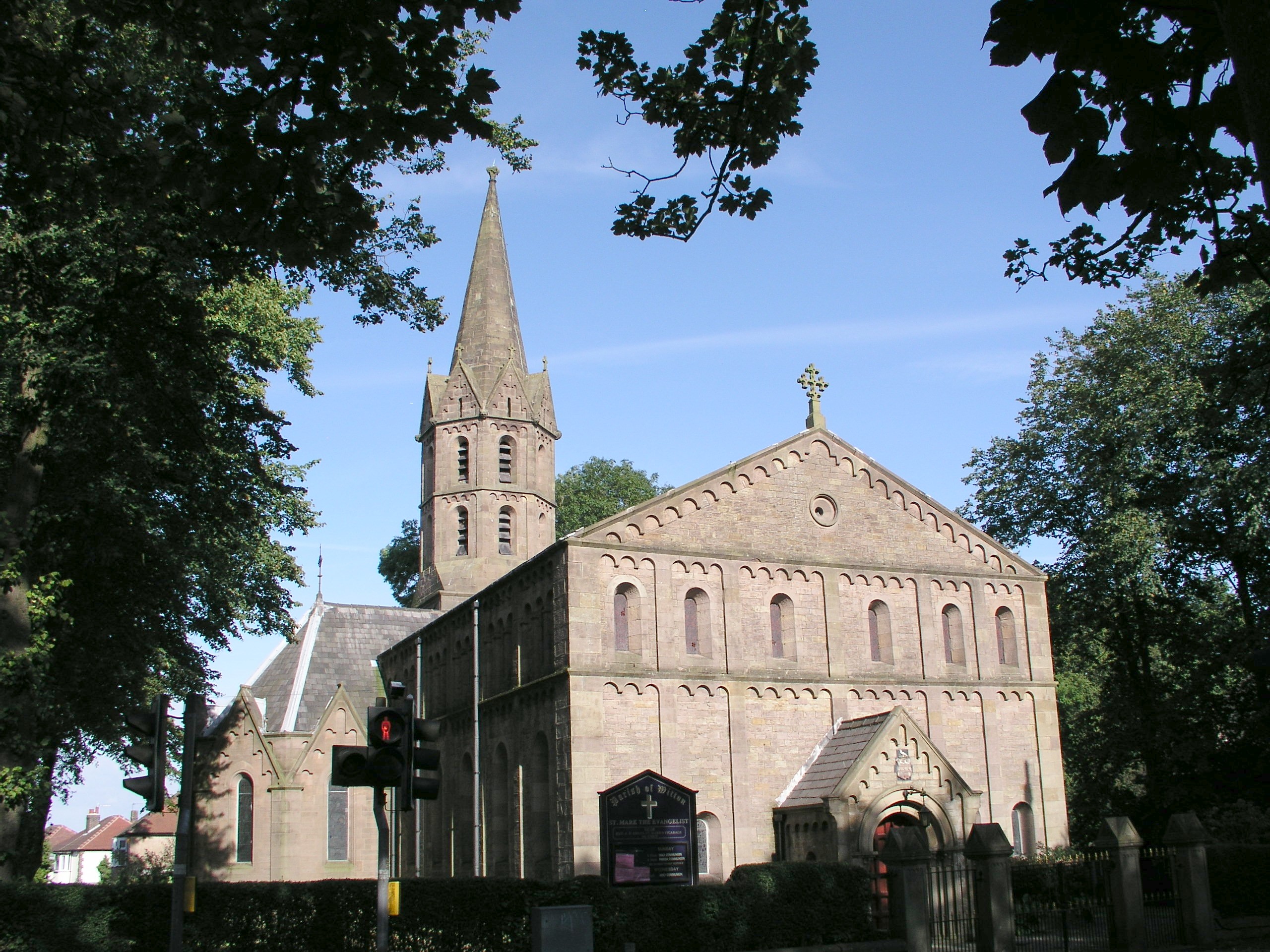
St Mark's Church, Blackburn

St Mark's Church is in Buncer Lane, in the former parish of Witton, Blackburn, Lancashire, England. It is a redundant Anglican church in the deanery of...

Billinge Scar

Billinge Scar was a 19th-century country house (now demolished) near Blackburn, Lancashire, England. It was built of stone in two storeys around an existing...

Nearby Amenities

Located within 500m of 53.745506,-2.5286027
Barrier: stile
Lat/Long: 53.7469465/-2.5325614
Barrier: stile
Lat/Long: 53.7483478/-2.5272464
Alfred Wainwright memorial
Historic: memorial
Lat/Long: 53.7464556/-2.5337749
Tourism: viewpoint
Lat/Long: 53.7467142/-2.5333166
Direction: SE
Generator Method: photovoltaic
Generator Output Electricity: yes
Generator Solar Modules: 28
Generator Source: solar
Generator Type: solar_photovoltaic_panel
Location: roof
Power: generator
Lat/Long: 53.7415178/-2.5288215
The data included in this document is from www.openstreetmap.org. The data is made available under ODbL.

Have you been to Vetch Hole Wood?

Leave your review of Vetch Hole Wood below (or comments, questions and feedback).