Corton
Settlement in Suffolk East Suffolk
England
Corton

Corton is a picturesque village located in the county of Suffolk, England. Situated on the North Sea coast, it is part of the larger town of Lowestoft and falls within the district of East Suffolk. With a population of around 1,500 residents, Corton boasts a charming and tranquil atmosphere that attracts both locals and tourists alike.
The village is known for its stunning natural surroundings, including beautiful sandy beaches and breathtaking cliffs, making it a popular destination for outdoor enthusiasts. Corton also offers fantastic views of the North Sea, providing a serene setting for relaxation and leisurely walks along the coast.
In addition to its natural beauty, Corton has a rich history that can be seen in its architecture and landmarks. The village is home to the Grade II listed Corton lighthouse, which stands proudly overlooking the sea and acts as both a historical and navigational landmark.
Corton offers a range of amenities and facilities for residents and visitors. It has a small but vibrant community, with a pub, a hotel, and a handful of shops and local businesses. The village is well-connected to the nearby town of Lowestoft, providing access to a wider range of services and attractions.
Overall, Corton is a hidden gem on the Suffolk coast, offering a peaceful retreat for those seeking natural beauty, historical charm, and a close-knit community.
If you have any feedback on the listing, please let us know in the comments section below.
Corton Images
Images are sourced within 2km of 52.516293/1.7464777 or Grid Reference TM5497. Thanks to Geograph Open Source API. All images are credited.


Corton is located at Grid Ref: TM5497 (Lat: 52.516293, Lng: 1.7464777)
Administrative County: Suffolk
District: East Suffolk
Police Authority: Suffolk
What 3 Words
///unlucky.finishers.suspect. Near Hopton on Sea, Norfolk
Nearby Locations
Related Wikis
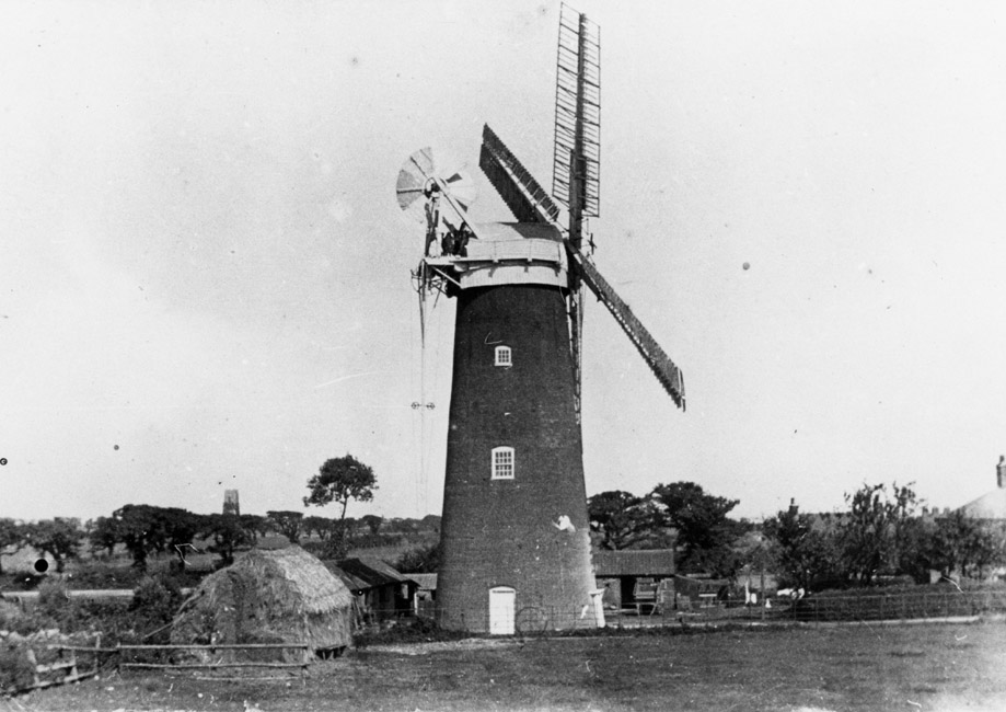
Corton Windmill
Corton Mill is a Grade II listed tower mill at Corton, Suffolk, England, which has been converted to residential accommodation. == History == Corton Mill...
Corton, Suffolk
Corton is a village and civil parish in the north of the English county of Suffolk. It is 3 miles (4.8 km) north of the centre of Lowestoft in the East...
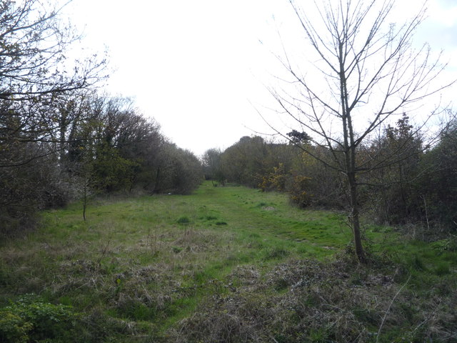
Corton railway station
Corton railway station was a railway station serving the village of Corton, Suffolk on the Norfolk and Suffolk Joint Railway line between Great Yarmouth...
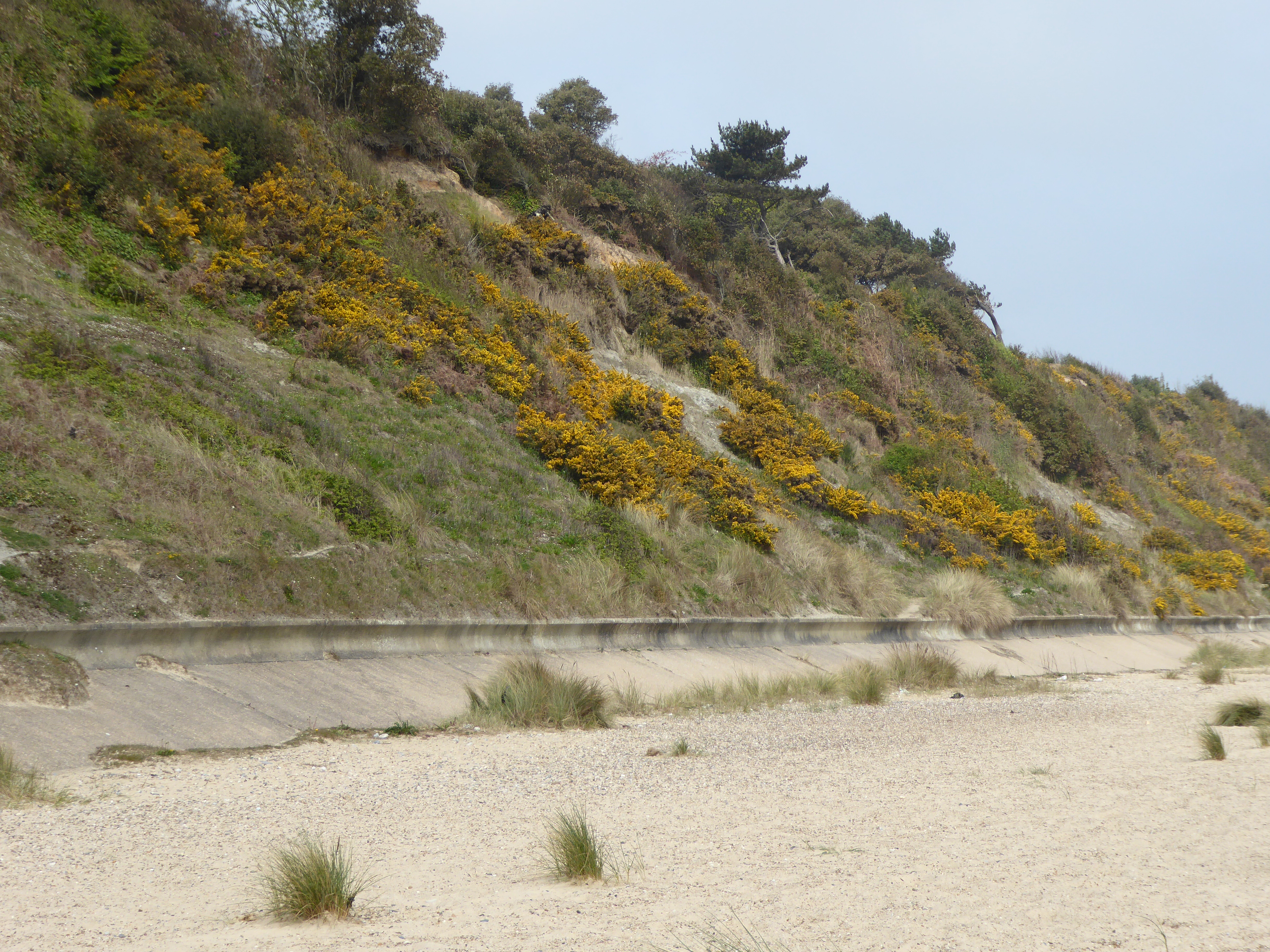
Corton Cliffs
Corton Cliffs is a 5.5-hectare (14-acre) geological Site of Special Scientific Interest north of Lowestoft in Suffolk. It is a Geological Conservation...
Nearby Amenities
Located within 500m of 52.516293,1.7464777Have you been to Corton?
Leave your review of Corton below (or comments, questions and feedback).