Cortachy

Settlement in Angus

Scotland

Cortachy

After Storm Arwen The results of a horrific storm on 26 November 2021
After Storm Arwen Credit: jamesnicoll

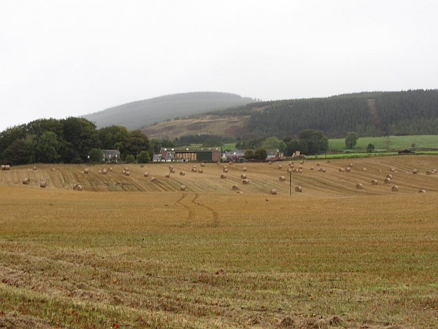
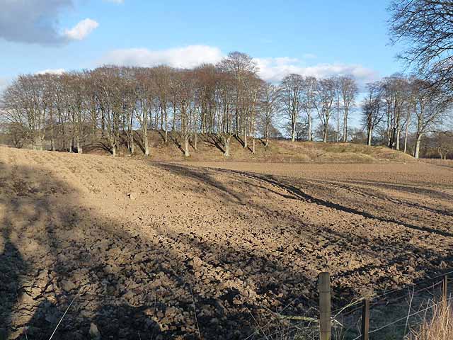
Cortachy is a small village nestled in the county of Angus, Scotland. Situated on the banks of the River South Esk, it lies approximately 6 miles southwest of Kirriemuir and 20 miles northeast of Dundee. The village is surrounded by picturesque rolling hills and lush green fields, offering a truly scenic setting.

Cortachy is primarily known for its historic castle, Cortachy Castle, which dates back to the 15th century. The castle, with its impressive turrets and sprawling grounds, stands as a testament to the area's rich history. It is privately owned and not open to the public, but its grandeur can be admired from afar.

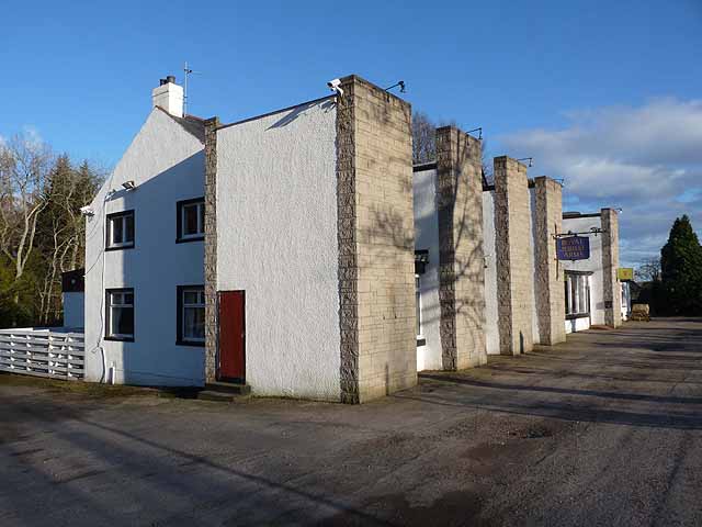
The village itself is quaint and charming, with a small population and a close-knit community. It boasts a few local amenities, including a village hall and a primary school, providing a sense of community for its residents. The surrounding area offers numerous opportunities for outdoor activities such as walking, cycling, and fishing, thanks to the river that runs through the village.

Cortachy is also strategically located for those wishing to explore the wider Angus region. Its close proximity to Kirriemuir allows for easy access to local shops, restaurants, and other amenities, while Dundee, with its vibrant cultural scene and historic landmarks, is just a short drive away.

Overall, Cortachy offers a peaceful and idyllic setting for those seeking a rural escape, with its historic castle, stunning natural beauty, and friendly community making it a hidden gem in Angus.

If you have any feedback on the listing, please let us know in the comments section below.
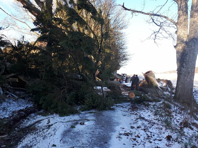
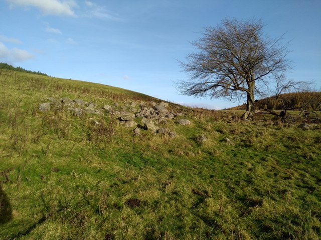
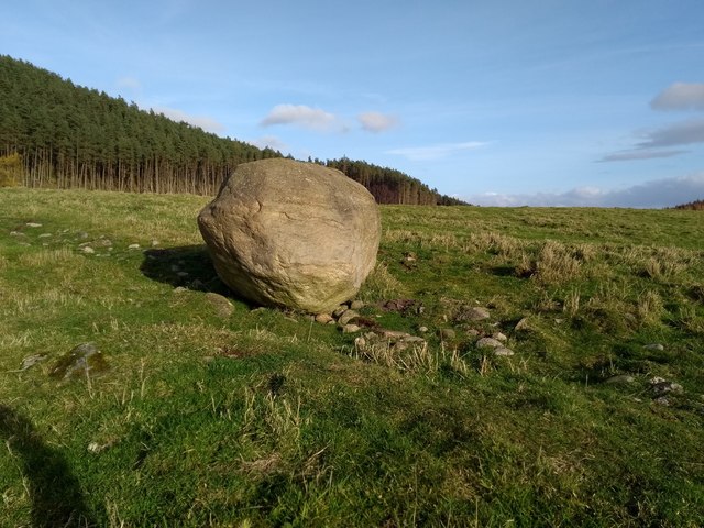
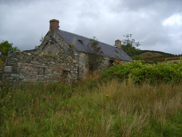
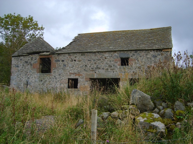
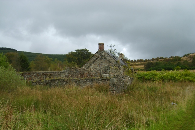
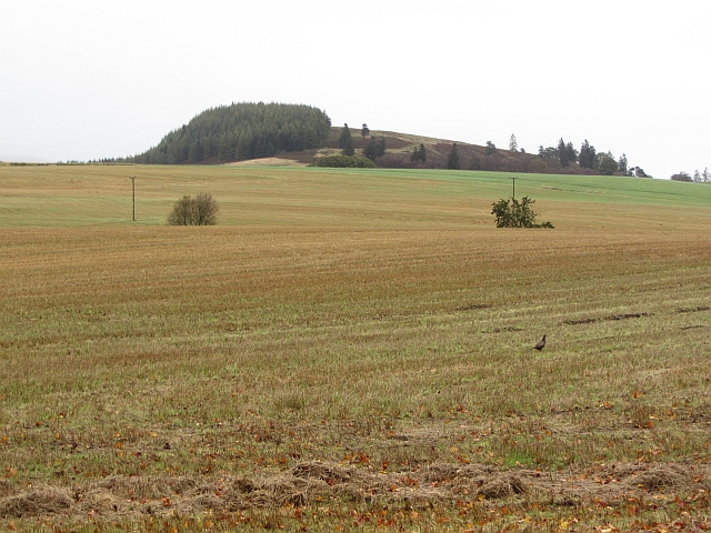
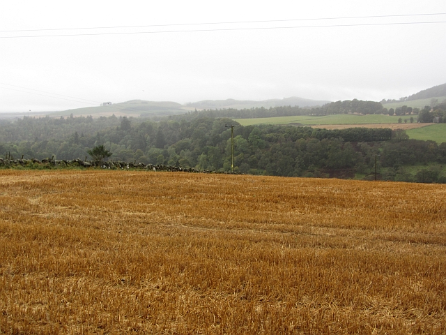
Cortachy Images

Images are sourced within 2km of 56.725003/-2.992144 or Grid Reference NO3959. Thanks to Geograph Open Source API. All images are credited.

After Storm Arwen The results of a horrific storm on 26 November 2021
After Storm Arwen
The results of a horrific storm on 26 November 2021
Slopes above the Prosen Water Taken from the minor road that runs along the top of a steep bank leading down to the Prosen Water. The road itself is almost level on a small ridge, but there is steep ground dropping off within a few metres either side, that to the south dropping down to the little Quharity Burn which follows a very strange course much influenced by glacial action. I suspect that the ridge from which the photo was taken is also of glacial origin. The Geology of Britain website confirms that the superficial deposits are glaciofluvial whilst the hidden bedrock is a conglomerate of the Devonian period, thus south of the Highland boundary fault.
Slopes above the Prosen Water
Taken from the minor road that runs along the top of a steep bank leading down to the Prosen Water. The road itself is almost level on a small ridge, but there is steep ground dropping off within a few metres either side, that to the south dropping down to the little Quharity Burn which follows a very strange course much influenced by glacial action. I suspect that the ridge from which the photo was taken is also of glacial origin. The Geology of Britain website confirms that the superficial deposits are glaciofluvial whilst the hidden bedrock is a conglomerate of the Devonian period, thus south of the Highland boundary fault.
Broomfauld Cottage Modernised house, Broomfauld.
Broomfauld Cottage
Modernised house, Broomfauld.
Track to Broomfauld Looking east to Broomfauld and the southern slope of Knock Hill.
Track to Broomfauld
Looking east to Broomfauld and the southern slope of Knock Hill.
Ruins of Greenhow Depicted on 19th century OS maps as Greenhow.
Ruins of Greenhow
Depicted on 19th century OS maps as Greenhow.
The Knock The Knock (or Knock Hill) between Glen Clova and Glenquiech.
The Knock
The Knock (or Knock Hill) between Glen Clova and Glenquiech.
Boulder An erratic, I think. The southern slope of Auld Man behind.
Boulder
An erratic, I think. The southern slope of Auld Man behind.
Bogside Farmhouse Derelict farm in Glenmoy
Bogside Farmhouse
Derelict farm in Glenmoy
Old mill at Bogside The threshing mill machinery was located in the left side of this building. The water was supplied from a small dam by the roadside. The upper part of this building was a loft.
Old mill at Bogside
The threshing mill machinery was located in the left side of this building. The water was supplied from a small dam by the roadside. The upper part of this building was a loft.
Bogside Farmhouse Another view of the derelict farm
Bogside Farmhouse
Another view of the derelict farm
Stubble and the Knock One of many pheasants in the stubble. The Cortachy area is densely stocked. The background hill is Knock Hill. NO4060
Stubble and the Knock
One of many pheasants in the stubble. The Cortachy area is densely stocked. The background hill is Knock Hill. NO4060
Stubble, Craigton The golden colour suggests that this was an oat crop. You grow it, I'll eat it! The land is quite high here and this is one of the last arable fields in the severely depopulated Glen Moy.
Stubble, Craigton
The golden colour suggests that this was an oat crop. You grow it, I'll eat it! The land is quite high here and this is one of the last arable fields in the severely depopulated Glen Moy.
Stubble, Kinallty Arable land in Glen Moy, Angus.
Stubble, Kinallty
Arable land in Glen Moy, Angus.
Long shadows Ploughed field and trees near Burnside Lodge, Dykehead.
Long shadows
Ploughed field and trees near Burnside Lodge, Dykehead.
Royal Jubilee Arms Hotel, Dykehead Rather unusual architecture, beside the B965 Glen Clova to Kirriemuir road.
Royal Jubilee Arms Hotel, Dykehead
Rather unusual architecture, beside the B965 Glen Clova to Kirriemuir road.
Burnside Lodge It was in this cottage that the Antarctic explorers Captain Robert Falcon Scott (1868-1912) and his chief scientist, Dr Edward Wilson (1872-1912), met on a number of occasions for planning their expedition to the South Pole in 1911-12.  See also the memorial nearby <a href="https://www.geograph.org.uk/photo/647843">NO3760 : Memorial Cairn at the foot of Glen Prosen, Angus</a> <a href="https://www.geograph.org.uk/photo/647853">NO3760 : Plaque on Memorial Cairn at foot of Glen Prosen, Angus</a>. The cottage has been greatly extended since those days.
Burnside Lodge
It was in this cottage that the Antarctic explorers Captain Robert Falcon Scott (1868-1912) and his chief scientist, Dr Edward Wilson (1872-1912), met on a number of occasions for planning their expedition to the South Pole in 1911-12. See also the memorial nearby NO3760 : Memorial Cairn at the foot of Glen Prosen, Angus NO3760 : Plaque on Memorial Cairn at foot of Glen Prosen, Angus. The cottage has been greatly extended since those days.
Royal Jubilee Arms Hotel, Dykehead to be demolished As it used to be: <a title="https://www.geograph.org.uk/photo/2868870" href="https://www.geograph.org.uk/photo/2868870">Link</a>  What a loss.

An email from Tricia Cook-Bosnell in Canada on 25/09/2017 

Thank you for taking a photo of the Royal Jubilee Arms (Dykehead) Hotel in Cortachy. My Grandfather, William Brow, was the last of the Brow children to be born there, it was owned by his family since the 1800's, a smaller hotel was on the same property known as the Brow's Hotel before the "Jube" was built. It has been a great part of my Mum's family history and now as she is getting up in age, 85, and we are now in Canada I can share the final phases of that history. Thank you for what you do to photograph some of our family history! It is appreciated. Yet so sad to see it in such terrible condition, it was once a family home for her father's family.
Royal Jubilee Arms Hotel, Dykehead to be demolished
As it used to be: Link What a loss. An email from Tricia Cook-Bosnell in Canada on 25/09/2017 Thank you for taking a photo of the Royal Jubilee Arms (Dykehead) Hotel in Cortachy. My Grandfather, William Brow, was the last of the Brow children to be born there, it was owned by his family since the 1800's, a smaller hotel was on the same property known as the Brow's Hotel before the "Jube" was built. It has been a great part of my Mum's family history and now as she is getting up in age, 85, and we are now in Canada I can share the final phases of that history. Thank you for what you do to photograph some of our family history! It is appreciated. Yet so sad to see it in such terrible condition, it was once a family home for her father's family.
Show me another place!

Cortachy is located at Grid Ref: NO3959 (Lat: 56.725003, Lng: -2.992144)

Unitary Authority: Angus

Police Authority: Tayside

What 3 Words

///dome.jigging.freshest. Near Kirriemuir, Angus

Nearby Locations

Cortachy

Related Wikis

Cortachy

Cortachy is a village in Angus, Scotland. It lies in at the mouth of Glen Clova, on the River South Esk, four miles north of Kirriemuir. Nearby lies Cortachy...

Cortachy Castle

Cortachy Castle is a castellated mansion House at Cortachy, Angus, Scotland, some four miles north of Kirriemuir. The present building dates from the 15th...

Mile Hill, Dykehead

There is another Mile Hill nearby which is a MarilynMile Hill is located in Angus, Scotland, 1000 metres west of Dykehead. It is a circular hill rising...

Inverquharity Castle

Inverquharity Castle is a 15th-century tower house in Angus, Scotland. It lies around 4.5 kilometres (2.8 mi) north-east of Kirriemuir near the River South...

Nearby Amenities

Located within 500m of 56.725003,-2.992144
Cortachy School
Local Ref: AT
Naptan AtcoCode: 6490IM1702
Naptan Bearing: E
Naptan BusStopType: CUS
Naptan CommonName: Cortachy School
Naptan Indicator: at
Naptan Landmark: Primary School
Naptan NaptanCode: 26427232
Naptan Verified: no
Source: naptan_import
Lat/Long: 56.7249402/-2.9922671
Primary School
Naptan AtcoCode: 6490IM58
Naptan Bearing: NW
Naptan BusStopType: CUS
Naptan CommonName: Primary School
Naptan Indicator: opp
Naptan Landmark: Primary School
Naptan NaptanCode: 26423969
Naptan Street: Unclassified Road
Naptan Verified: no
Source: naptan_import
Lat/Long: 56.7248684/-2.9922652
Cortachy
Name Gd: Cuairteachaidh
Place: village
Wikidata: Q1844238
Wikipedia: en:Cortachy
Lat/Long: 56.7232471/-2.98893
Historic: memorial
Memorial: war_memorial
Lat/Long: 56.723043/-2.9949623
Historic: memorial
Lat/Long: 56.7257639/-2.9872892
Material: wood
Power: pole
Lat/Long: 56.7252424/-2.9978654
Power: pole
Lat/Long: 56.725843/-2.9971038
Power: pole
Lat/Long: 56.7264213/-2.996382
Power: pole
Lat/Long: 56.7270262/-2.9956234
Power: pole
Lat/Long: 56.7275765/-2.9949017
Power: pole
Lat/Long: 56.7283933/-2.9939071
Power: pole
Lat/Long: 56.7288454/-2.9930462
Power: pole
Lat/Long: 56.7293006/-2.9921909
Power: pole
Lat/Long: 56.7233423/-2.991293
Power: pole
Lat/Long: 56.723623/-2.9922818
Power: pole
Lat/Long: 56.7238942/-2.993265
Power: pole
Lat/Long: 56.7241671/-2.9942424
Power: pole
Lat/Long: 56.724521/-2.995433
Power: pole
Lat/Long: 56.7248374/-2.9964559
Power: pole
Lat/Long: 56.7246379/-2.9944754
Power: pole
Lat/Long: 56.7244095/-2.9920645
Material: wood
Power: pole
Lat/Long: 56.7254977/-2.9989791
Power: pole
Lat/Long: 56.7222557/-2.9872795
Power: pole
Lat/Long: 56.7225566/-2.9883706
Power: pole
Lat/Long: 56.7228232/-2.9893623
Power: pole
Lat/Long: 56.7230913/-2.9903568
The data included in this document is from www.openstreetmap.org. The data is made available under ODbL.

Have you been to Cortachy?

Leave your review of Cortachy below (or comments, questions and feedback).