Quarry Covert

Wood, Forest in Somerset South Somerset

England

Quarry Covert

Horseshoe Villas
Horseshoe Villas Credit: Roger Cornfoot

Quarry Covert is a picturesque woodland located in Somerset, England. This hidden gem is nestled within the larger area of the Mendip Hills, offering visitors a tranquil escape from the hustle and bustle of everyday life. The covert spans an area of approximately 50 acres and is characterized by its dense woodlands, thriving wildlife, and unique rock formations.

The woodland boasts a diverse range of tree species, including oak, beech, and ash, which create a beautiful canopy of greenery throughout the year. Walking through Quarry Covert, visitors can admire the vibrant colors of wildflowers that dot the forest floor during spring and summer.

Quarry Covert is known for its striking rock formations, which were created due to centuries of quarrying activities in the area. These rock features add an interesting element to the woodland, providing opportunities for exploration and discovery. The covert is also home to a small stream that meanders through the woods, creating a peaceful ambiance and attracting a variety of wildlife.

Nature enthusiasts will be delighted by the abundant birdlife and woodland creatures that call Quarry Covert their home. It is not uncommon to spot woodpeckers, squirrels, and deer while strolling through the woodland. The area is also a designated Site of Special Scientific Interest (SSSI), highlighting the importance of its conservation and ecological value.

Quarry Covert offers visitors a chance to connect with nature, providing walking trails and picnic spots for a leisurely day out. The peaceful atmosphere and natural beauty of this hidden woodland make it a must-visit destination for those seeking a serene escape in Somerset.

If you have any feedback on the listing, please let us know in the comments section below.

Quarry Covert Images

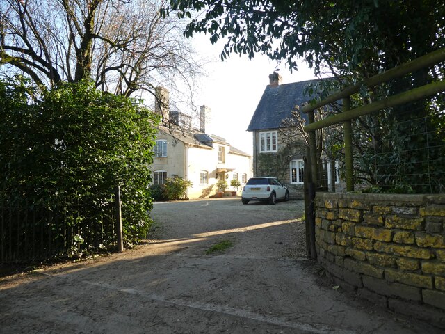
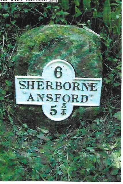
Images are sourced within 2km of 51.030764/-2.4996138 or Grid Reference ST6525. Thanks to Geograph Open Source API. All images are credited.

Horseshoe Villas
Horseshoe Villas
Entrance, Woolston Manor Farmhouse
Barns at Woolston Manor Farm
'Saltersford' Appears to have replaced a row of cottages.
'Saltersford'
Appears to have replaced a row of cottages.
Crossroads, near Woolston
Old Milestone by road, SouthWest of Blackford The Milestone is located buried in hedge on the E of the road.  Parish of Compton Pauncefoot (South Somerset District). Metal plate attached to stone post, Sherbourne iron plate design, erected by the Sherborne turnpike trust in the 19th Century, very rusty. An earlier photograph can be found here: <a title="https://www.geograph.org.uk/photo/6102260" href="https://www.geograph.org.uk/photo/6102260">Link</a> 

Inscription reads:-   
6 / SHERBORNE / ANSFORD / 5¾ 

Grade II listed. List Entry Number: 1056556 <span class="nowrap"><a title="https://historicengland.org.uk/listing/the-list/list-entry/1056556" rel="nofollow ugc noopener" href="https://historicengland.org.uk/listing/the-list/list-entry/1056556">Link</a><img style="margin-left:2px;" alt="External link" title="External link - shift click to open in new window" src="https://s1.geograph.org.uk/img/external.png" width="10" height="10"/></span> 

Milestone Society National ID: SO_SBAF06
Old Milestone by road, SouthWest of Blackford
The Milestone is located buried in hedge on the E of the road.  Parish of Compton Pauncefoot (South Somerset District). Metal plate attached to stone post, Sherbourne iron plate design, erected by the Sherborne turnpike trust in the 19th Century, very rusty. An earlier photograph can be found here: Link  Inscription reads:- 6 / SHERBORNE / ANSFORD / 5¾ Grade II listed. List Entry Number: 1056556 LinkExternal link Milestone Society National ID: SO_SBAF06
Compton Pauncefoot : Road A road off the A303.
Compton Pauncefoot : Road
A road off the A303.
Compton Pauncefoot: near the church and manor house In the 19th century the Manor House was Compton Farm's farmhouse. The church is dedicated to the Blessed Virgin Mary
Compton Pauncefoot: near the church and manor house
In the 19th century the Manor House was Compton Farm's farmhouse. The church is dedicated to the Blessed Virgin Mary
Compton Pauncefoot: church path The church is dedicated to the Blessed Virgin Mary
Compton Pauncefoot: church path
The church is dedicated to the Blessed Virgin Mary
Compton Pauncefoot: edge of the village Houses near the western end of Hockley Lane
Compton Pauncefoot: edge of the village
Houses near the western end of Hockley Lane
Compton Pauncefoot: Downyard This barn complex, now known as Downyard, was part of Compton Farm in the late 19th century. The barns have been converted and now provide residential accommodation
Compton Pauncefoot: Downyard
This barn complex, now known as Downyard, was part of Compton Farm in the late 19th century. The barns have been converted and now provide residential accommodation
Compton Pauncefoot: church and manor house Seen from a field path to Lower Woolston
Compton Pauncefoot: church and manor house
Seen from a field path to Lower Woolston
Compton Pauncefoot: towards the mill Seen from the field path to Lower Woolston and North Cadbury. The mill was at work in the late 19th century but is now a private house. The stream is a tributary of the River Cam
Compton Pauncefoot: towards the mill
Seen from the field path to Lower Woolston and North Cadbury. The mill was at work in the late 19th century but is now a private house. The stream is a tributary of the River Cam
Compton Pauncefoot: by Warren Hill By a public footpath to Lower Woolston and North Cadbury. In Compton Pauncefoot parish
Compton Pauncefoot: by Warren Hill
By a public footpath to Lower Woolston and North Cadbury. In Compton Pauncefoot parish
Compton Pauncefoot: nearing a stile On a field path from Compton Pauncefoot village to Lower Woolston and North Cadbury
Compton Pauncefoot: nearing a stile
On a field path from Compton Pauncefoot village to Lower Woolston and North Cadbury
Compton Pauncefoot: stile By Ash trees, with a field of oilseed rape beyond. On a public footpath from Compton Pauncefot village to Lower Woolston and North Cadbury
Compton Pauncefoot: stile
By Ash trees, with a field of oilseed rape beyond. On a public footpath from Compton Pauncefot village to Lower Woolston and North Cadbury
Compton Pauncefoot: by the mill On a field path beneath Warren Hill. The water-powered mill was at work in the late 19th century but has long since been converted to a private residence. In Compton Pauncefoot parish
Compton Pauncefoot: by the mill
On a field path beneath Warren Hill. The water-powered mill was at work in the late 19th century but has long since been converted to a private residence. In Compton Pauncefoot parish
Parish Hill Bridge, A303 The A303 is a main trunk road running 92 miles between Basingstoke and Honiton. Along with the A30 and M3 it forms a major route between London and the South West. Much of the road is dual carriageway, but some stretches remain single and prone to congestion.

Wikipedia: <span class="nowrap"><a title="http://en.wikipedia.org/wiki/A303_road" rel="nofollow ugc noopener" href="http://en.wikipedia.org/wiki/A303_road">Link</a><img style="margin-left:2px;" alt="External link" title="External link - shift click to open in new window" src="https://s1.geograph.org.uk/img/external.png" width="10" height="10"/></span>
Parish Hill Bridge, A303
The A303 is a main trunk road running 92 miles between Basingstoke and Honiton. Along with the A30 and M3 it forms a major route between London and the South West. Much of the road is dual carriageway, but some stretches remain single and prone to congestion. Wikipedia: LinkExternal link
Show me another place!

Quarry Covert is located at Grid Ref: ST6525 (Lat: 51.030764, Lng: -2.4996138)

Administrative County: Somerset

District: South Somerset

Police Authority: Avon and Somerset

What 3 Words

///plotter.curving.disbanded. Near Castle Cary, Somerset

Related Wikis

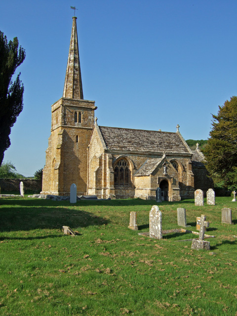
Church of St Mary, Compton Pauncefoot

The Anglican Church of St Mary in Compton Pauncefoot, Somerset, England was built in the 15th century. It is a Grade II* listed building. == History... ==

Church of St Michael, Blackford

The Anglican Church of St Michael in Blackford, Somerset, England was built in the 11th or 12th century. It is a Grade II* listed building. == History... ==

Compton Pauncefoot

Compton Pauncefoot is a village and civil parish in Somerset, England, situated beside the A303 road, 5 miles (8.0 km) south west of Wincanton in the South...

Blackford, Somerset

Blackford is a village and former civil parish in the county of Somerset, England, beside the A303 road, 4 miles (6.4 km) south west of Wincanton. There...

Nearby Amenities

Located within 500m of 51.030764,-2.4996138
Turning Circle
Lat/Long: 51.0291989/-2.5041677
The data included in this document is from www.openstreetmap.org. The data is made available under ODbL.

Have you been to Quarry Covert?

Leave your review of Quarry Covert below (or comments, questions and feedback).