Black Plantation
Wood, Forest in Lancashire Ribble Valley
England
Black Plantation
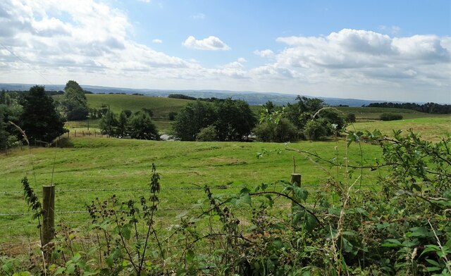
Black Plantation is a historic woodland located in the county of Lancashire, England. Situated in the peaceful village of Wood, the plantation spans over a vast area, encompassing dense forest and diverse flora and fauna.
The woodland derives its name from the dark appearance of the trees, primarily consisting of oak, beech, and ash, which create a striking contrast against the surrounding landscape. The plantation has a rich history dating back several centuries, with evidence of human presence and land management dating back to medieval times.
Black Plantation boasts a diverse ecosystem, supporting a wide range of wildlife. The woodland provides a habitat for numerous bird species, including woodpeckers, owls, and various songbirds. Small mammals such as rabbits, squirrels, and hedgehogs also thrive within the woodland's boundaries.
The plantation has long served as a recreational space for locals and visitors alike. It offers several walking trails, inviting people to explore its beauty and enjoy its tranquil surroundings. The woodland's peaceful ambiance makes it an ideal spot for nature enthusiasts, hikers, and photographers.
In recent years, efforts have been made to preserve and protect Black Plantation's natural beauty. Local conservation groups have worked tirelessly to maintain the woodland's delicate ecosystem, ensuring that it remains a haven for wildlife and a cherished recreational destination for generations to come.
Overall, Black Plantation in Lancashire is a captivating woodland, brimming with history, biodiversity, and natural beauty. Its serene atmosphere and stunning landscape make it a beloved destination for both locals and visitors seeking solace in nature.
If you have any feedback on the listing, please let us know in the comments section below.
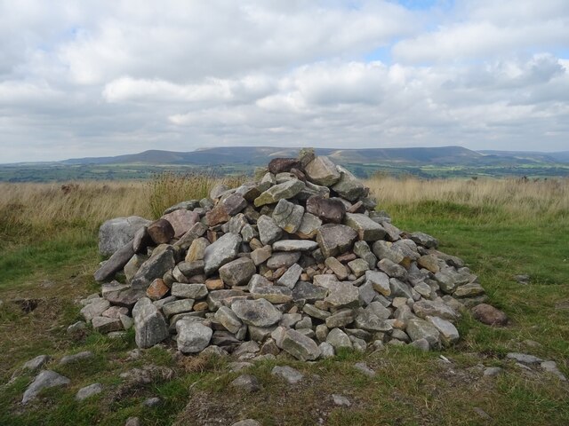
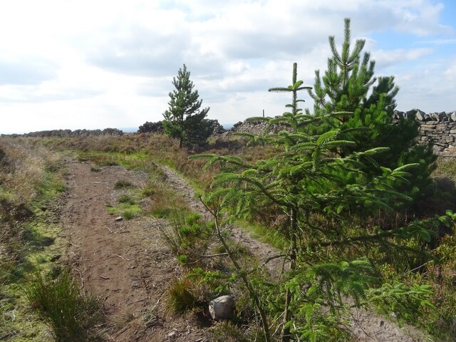
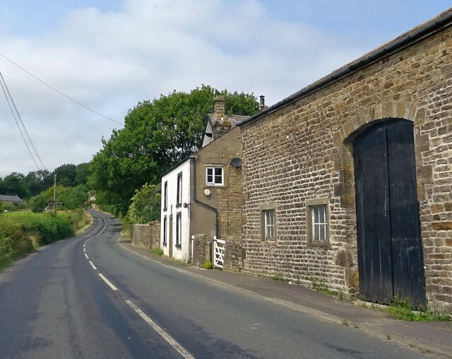
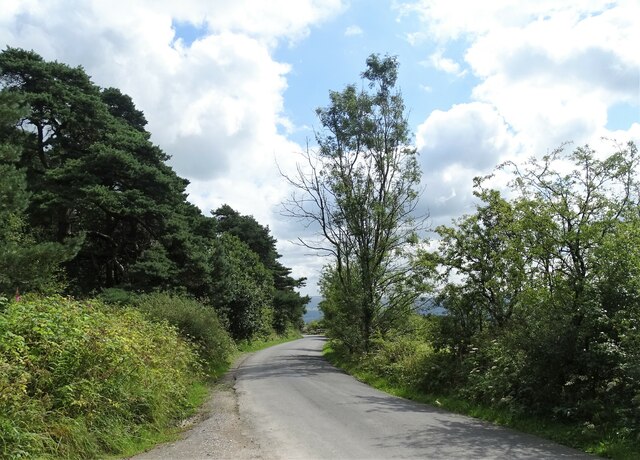
Black Plantation Images
Images are sourced within 2km of 53.846782/-2.5330551 or Grid Reference SD6539. Thanks to Geograph Open Source API. All images are credited.


Black Plantation is located at Grid Ref: SD6539 (Lat: 53.846782, Lng: -2.5330551)
Administrative County: Lancashire
District: Ribble Valley
Police Authority: Lancashire
What 3 Words
///recitals.blame.remind. Near Longridge, Lancashire
Nearby Locations
Related Wikis

Longridge Fell
Longridge Fell is the most southerly fell in England, near the town of Longridge, Lancashire. It lies at the southern end of the Forest of Bowland Area...
Thornley-with-Wheatley
Thornley-with-Wheatley is a civil parish in the Borough of Ribble Valley, Lancashire, England. It is entirely rural, with no villages or other substantial...
Longridge Golf Club
Longridge Golf Club, in Longridge, England, was founded around 1915, making it one of the oldest golf clubs in the county of Lancashire. Situated on Longridge...
Dutton, Lancashire
Dutton is a civil parish in the Borough of Ribble Valley in the English county of Lancashire, its principal settlement being the hamlet of Lower Dutton...
Have you been to Black Plantation?
Leave your review of Black Plantation below (or comments, questions and feedback).