Home Wood

Wood, Forest in Somerset Mendip

England

Home Wood

Entrance to Knapps Farm Knapps Farm is no longer a working farm but is a residential establishment with paddocks that could be used as an equestrian facility.
Entrance to Knapps Farm Credit: Nigel Mykura

Home Wood is a picturesque forest located in Somerset, England. Covering an area of approximately 100 acres, this woodland boasts an array of natural beauty and is a popular destination for nature enthusiasts and hikers alike.

The woodland is predominantly made up of broadleaved trees, such as oak, beech, and ash, which create a dense canopy overhead. The forest floor is covered in a lush carpet of ferns, bluebells, and wildflowers, adding to the enchanting atmosphere of the wood.

Home Wood offers a variety of walking trails, ranging from easy strolls to more challenging routes, allowing visitors to explore the diverse landscape at their own pace. The trails wind through the woodland, meandering past babbling brooks and small ponds, providing ample opportunities for wildlife spotting.

The forest is home to an abundance of wildlife, including deer, foxes, badgers, and a wide variety of bird species. Birdwatchers will be delighted to spot woodpeckers, owls, and various migratory birds in this woodland sanctuary.

Home Wood is managed by the local council, which ensures the preservation and maintenance of this natural habitat. The forest is open to the public year-round, with no admission fee, allowing visitors to enjoy the tranquility and beauty of the wood at their leisure.

Whether it's a leisurely stroll, a family picnic, or an exploration of nature, Home Wood in Somerset offers a peaceful and idyllic retreat for all who venture into its ancient and captivating embrace.

If you have any feedback on the listing, please let us know in the comments section below.
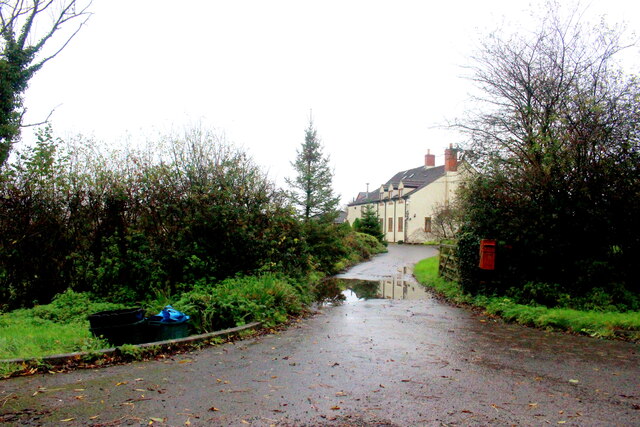
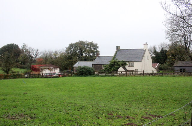
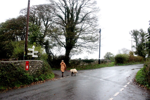
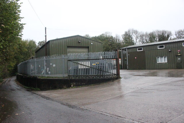
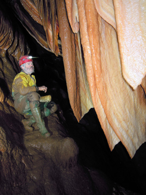
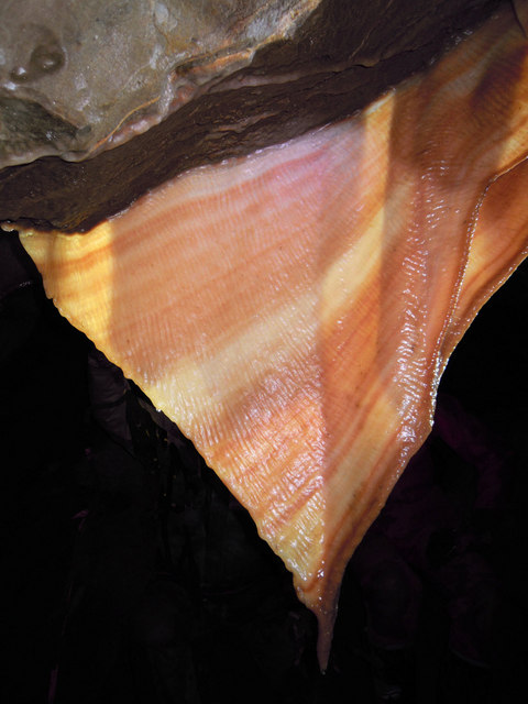
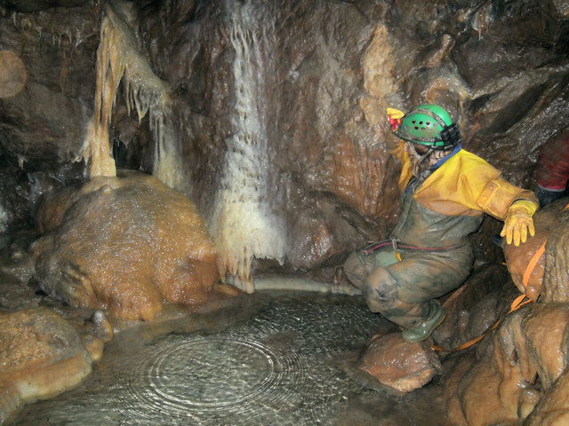
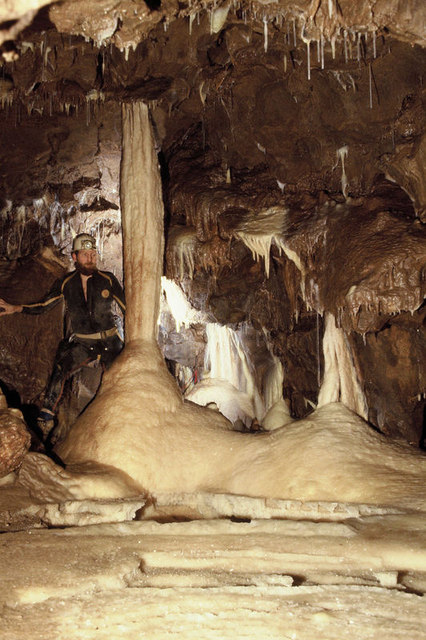
Home Wood Images

Images are sourced within 2km of 51.227582/-2.5061825 or Grid Reference ST6447. Thanks to Geograph Open Source API. All images are credited.

Entrance to Knapps Farm Knapps Farm is no longer a working farm but is a residential establishment with paddocks that could be used as an equestrian facility.
Entrance to Knapps Farm
Knapps Farm is no longer a working farm but is a residential establishment with paddocks that could be used as an equestrian facility.
House at Three Ashes Three Ashes was probably once a large working farm but today it seems to consist of several large houses and no working farms although some of the houses have adjacent paddocks.
House at Three Ashes
Three Ashes was probably once a large working farm but today it seems to consist of several large houses and no working farms although some of the houses have adjacent paddocks.
Wet Saturday Dog Walking near Withybrook The dog walker passing the box-in-the-wall post box is turning off the Fosse Road into the minor road that runs down to Stoke Bottom. The Fosse Rd carries on to Stoke St Michael. The road she is heading down is signposted to Nettlebridge.
Wet Saturday Dog Walking near Withybrook
The dog walker passing the box-in-the-wall post box is turning off the Fosse Road into the minor road that runs down to Stoke Bottom. The Fosse Rd carries on to Stoke St Michael. The road she is heading down is signposted to Nettlebridge.
Industrial Buildings at Stoke Bottom These buildings are heavily protected with large metal fences and razor wire but have no signage to indicate their use.
Industrial Buildings at Stoke Bottom
These buildings are heavily protected with large metal fences and razor wire but have no signage to indicate their use.
Path and Sign at Beacon Hill Wood
Old Milestone by A367, Fosse Way, outside front of "The George at Nettlebridge" PH The Milestone is located against front wall of inn on the East of the road.  Parish of Stratton On The Fosse (Mendip District). Cast iron post, plated iron casting design, erected by the Shepton Mallet turnpike trust in the 19th century. An earlier photograph can be found here: <a title="https://www.geograph.org.uk/photo/6037563" href="https://www.geograph.org.uk/photo/6037563">Link</a> 

Inscription reads:- 
SHEPTON / MALLET / 4 : : BATH / 13 : : CHELT.M / 50  

Grade II listed. List Entry Number: 1178363 <span class="nowrap"><a title="https://historicengland.org.uk/listing/the-list/list-entry/1178363" rel="nofollow ugc noopener" href="https://historicengland.org.uk/listing/the-list/list-entry/1178363">Link</a><img style="margin-left:2px;" alt="External link" title="External link - shift click to open in new window" src="https://s1.geograph.org.uk/img/external.png" width="10" height="10"/></span> 

Milestone Society National ID: SO_CMSM50
Old Milestone by A367, Fosse Way, outside front of "The George at Nettlebridge" PH
The Milestone is located against front wall of inn on the East of the road.  Parish of Stratton On The Fosse (Mendip District). Cast iron post, plated iron casting design, erected by the Shepton Mallet turnpike trust in the 19th century. An earlier photograph can be found here: Link  Inscription reads:- SHEPTON / MALLET / 4 : : BATH / 13 : : CHELT.M / 50 Grade II listed. List Entry Number: 1178363 LinkExternal link Milestone Society National ID: SO_CMSM50
2011 : Ashwick Court from Blackley Lane Blackley Lane follows the bottom of a small valley from Benter west to Badger's Cross. About half way along we see Ashwick Court at the top of the hill to the south.
2011 : Ashwick Court from Blackley Lane
Blackley Lane follows the bottom of a small valley from Benter west to Badger's Cross. About half way along we see Ashwick Court at the top of the hill to the south.
2011 : Crossroads with tractor at Badger's Cross A tractor with trailer waits to emerge carefully onto the minor road between Gurney Slade and Oakhill.
The signpost indicates Moorwood and Benter to the left and Shepton Mallet to the right.
2011 : Crossroads with tractor at Badger's Cross
A tractor with trailer waits to emerge carefully onto the minor road between Gurney Slade and Oakhill. The signpost indicates Moorwood and Benter to the left and Shepton Mallet to the right.
2011 : View north from Blackey Lane On the other side of Blackey Lane from <a href="https://www.geograph.org.uk/photo/2308116">ST6348 : 2011 : Ashwick Court from Blackley Lane</a> looking up the northern slope of the valley in the direction of West Farm which is out of shot to the right.
2011 : View north from Blackey Lane
On the other side of Blackey Lane from ST6348 : 2011 : Ashwick Court from Blackley Lane looking up the northern slope of the valley in the direction of West Farm which is out of shot to the right.
2011 : Blackey Lane heading east Down the valley toward Benter.
The footpath (see sign) to the right takes the walker to Ashwick, less than half a mile, another path to the left climbs the side of the valley to West Farm and T'other Side The Hill.
2011 : Blackey Lane heading east
Down the valley toward Benter. The footpath (see sign) to the right takes the walker to Ashwick, less than half a mile, another path to the left climbs the side of the valley to West Farm and T'other Side The Hill.
2011 : Up Blackley Lane toward Badger's Cross The lane follows the valley floor between Benter and Badger's Cross becoming steeper further on.
2011 : Up Blackley Lane toward Badger's Cross
The lane follows the valley floor between Benter and Badger's Cross becoming steeper further on.
2011 : Blackey Lane heading east from Badger's Cross Soon to drop into a small valley which it follows to Benter.
2011 : Blackey Lane heading east from Badger's Cross
Soon to drop into a small valley which it follows to Benter.
2011 : Bay's Lane or Simbriss Road Somewhere around here Bay's Lane, from the north, becomes Simbriss Road heading south, or it could be Blackey Lane from the east - who cares.
One thing is for sure, it is near Badger's Cross.
2011 : Bay's Lane or Simbriss Road
Somewhere around here Bay's Lane, from the north, becomes Simbriss Road heading south, or it could be Blackey Lane from the east - who cares. One thing is for sure, it is near Badger's Cross.
Fernhill Cave The fabulous curtains.
Fernhill Cave
The fabulous curtains.
Fernhill Cave Stalagmite curtain.
Fernhill Cave
Stalagmite curtain.
WL Cave, Fairy Cave Quarry Pink Pool Chamber.
WL Cave, Fairy Cave Quarry
Pink Pool Chamber.
WL Cave, Fairy Cave Quarry Pink Pool Chamber.
WL Cave, Fairy Cave Quarry
Pink Pool Chamber.
Show me another place!

Home Wood is located at Grid Ref: ST6447 (Lat: 51.227582, Lng: -2.5061825)

Administrative County: Somerset

District: Mendip

Police Authority: Avon and Somerset

What 3 Words

///hotspots.variety.steams. Near Chilcompton, Somerset

Nearby Locations

Home Wood

Related Wikis

Harridge Wood

Harridge Wood is an area of woodland in Somerset, England. From about 1300 AD part of the wood was the scene of coal mining, which continued until around...

Hillier's Cave

Hillier's Cave (grid reference ST65734753) is a cave in Fairy Cave Quarry, near Stoke St Michael in the limestone of the Mendip Hills, in Somerset, England...

Balch Cave

Balch Cave (grid reference ST65734753) is a cave in Fairy Cave Quarry, near Stoke St Michael in the limestone of the Mendip Hills, in Somerset, England...

Shatter Cave

Shatter Cave is a cave in Fairy Cave Quarry, near Stoke St Michael in the limestone of the Mendip Hills, in Somerset, England. It falls within the St....

Fairy Cave Quarry

Fairy Cave Quarry (grid reference ST65734753) is between Stoke St Michael and Oakhill in the limestone of the Mendip Hills, in Somerset, England. Quarrying...

W/L Cave

W/L Cave is part of the Fairy Cave Quarry group of caves between Stoke St Michael and Oakhill in the limestone of the Mendip Hills, in Somerset, England...

Ashwick

Ashwick is a village in Somerset, England, about three miles north of Shepton Mallet and seven miles east from Wells. It has also been a civil parish since...

Oakhill

Oakhill is a village in the Mendip district of Somerset, England, in Ashwick parish approximately 2.5 miles (4 km) north of Shepton Mallet. It lies between...

Nearby Amenities

Located within 500m of 51.227582,-2.5061825
Note: 40 mph speed limit sign (SW-bound)
Source: survey
Traffic Sign Forward: GB:670[40]
Lat/Long: 51.2302321/-2.5101638
Post Box
Mapillary: 2517514318409583
Operator: Royal Mail
Operator Wikidata: Q638098
Post Box Mounting: wooden_post
Post Box Type: lamp
Lat/Long: 51.2296892/-2.5116742
The data included in this document is from www.openstreetmap.org. The data is made available under ODbL.

Have you been to Home Wood?

Leave your review of Home Wood below (or comments, questions and feedback).