Bradley Hall Plantation
Wood, Forest in Lancashire Ribble Valley
England
Bradley Hall Plantation
Bradley Hall Plantation is a picturesque woodland area located in Lancashire, England. Covering an area of approximately 100 acres, it is a popular destination for nature enthusiasts and walkers alike.
The plantation is characterized by its dense forest, with a diverse range of trees including oak, birch, and beech. These trees create a vibrant and lush habitat for various wildlife species, making it an ideal spot for birdwatching and observing other small mammals.
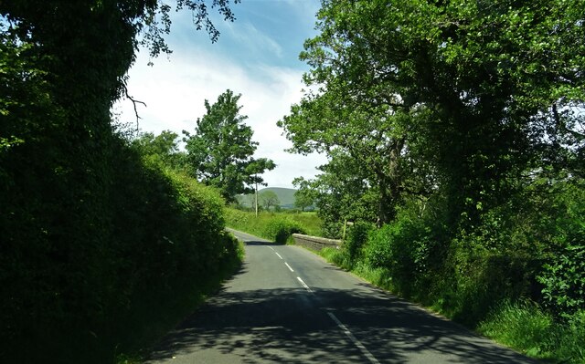
The woodland is crisscrossed by several well-maintained paths, providing easy access for visitors to explore the area. These paths offer stunning views of the surrounding countryside, with rolling hills and expansive meadows visible from certain vantage points.
One of the main attractions of Bradley Hall Plantation is its rich history. The site was originally part of a larger estate and dates back several centuries. The remains of Bradley Hall, a manor house that once stood on the grounds, can still be seen today. These ruins serve as a fascinating reminder of the area's past and add a touch of mystery and intrigue to the plantation.
Overall, Bradley Hall Plantation offers a tranquil and serene escape from the hustle and bustle of everyday life. Its natural beauty, diverse wildlife, and historical significance make it an enchanting place to visit for anyone seeking to connect with nature and immerse themselves in Lancashire's rich heritage.
If you have any feedback on the listing, please let us know in the comments section below.
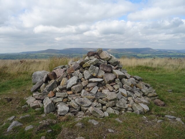
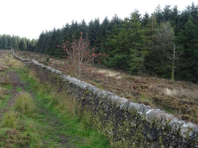
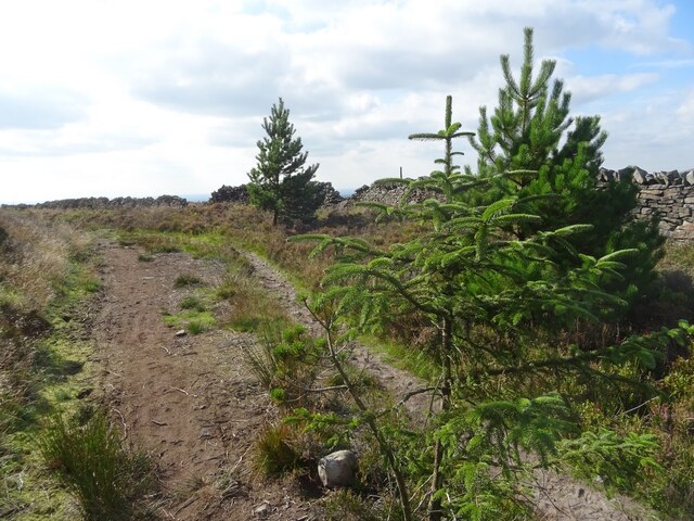
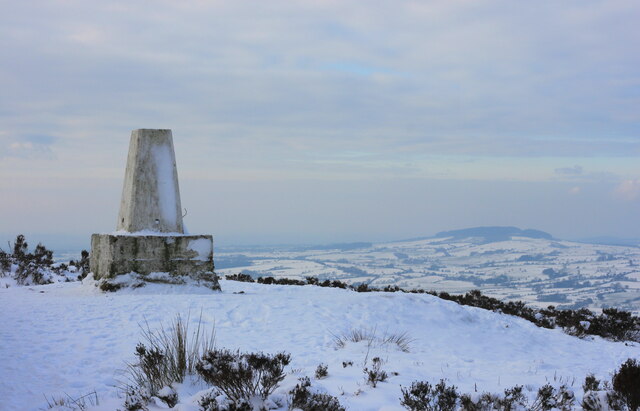
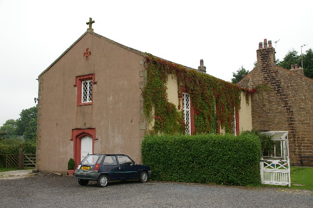
Bradley Hall Plantation Images
Images are sourced within 2km of 53.871578/-2.5395452 or Grid Reference SD6441. Thanks to Geograph Open Source API. All images are credited.


Bradley Hall Plantation is located at Grid Ref: SD6441 (Lat: 53.871578, Lng: -2.5395452)
Administrative County: Lancashire
District: Ribble Valley
Police Authority: Lancashire
What 3 Words
///overused.rock.promising. Near Longridge, Lancashire
Nearby Locations
Related Wikis

River Loud
The River Loud is a river of Lancashire, England. Starting out on Parlick, the Loud meanders mainly through the parish of Chipping, tracing its course...

Longridge Fell
Longridge Fell is the most southerly fell in England, near the town of Longridge, Lancashire. It lies at the southern end of the Forest of Bowland Area...
Thornley-with-Wheatley
Thornley-with-Wheatley is a civil parish in the Borough of Ribble Valley, Lancashire, England. It is entirely rural, with no villages or other substantial...

Lower Lees Farmhouse
Lower Lees Farmhouse is a historic building in the English parish of Bowland Forest Low, Lancashire. It is Grade II listed, built in 1678, and is a sandstone...
Nearby Amenities
Located within 500m of 53.871578,-2.5395452Have you been to Bradley Hall Plantation?
Leave your review of Bradley Hall Plantation below (or comments, questions and feedback).