Dusty Clough Wood
Wood, Forest in Lancashire Ribble Valley
England
Dusty Clough Wood

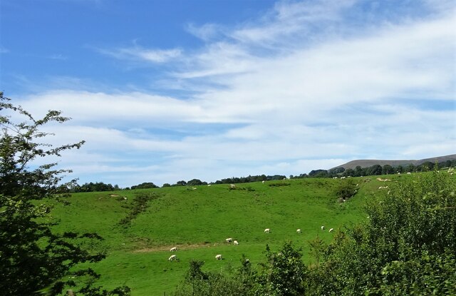
Dusty Clough Wood is a picturesque forest located in the county of Lancashire, England. Spread over an area of approximately 100 acres, it is known for its serene beauty and abundant wildlife. The wood is situated near the village of Clough, surrounded by rolling hills and scenic landscapes.
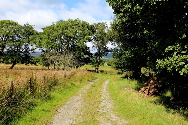
The wood is primarily composed of deciduous trees, including oak, beech, and birch, which create a dense canopy providing ample shade and shelter for various species of birds, butterflies, and small mammals. The forest floor is adorned with a carpet of wildflowers, adding a burst of color to the surroundings during the spring and summer months.
Dusty Clough Wood offers visitors a tranquil escape from the hustle and bustle of city life. It is a popular destination for nature enthusiasts, hikers, and birdwatchers, who can explore its well-maintained trails and enjoy the peaceful ambiance. The wood also features a small picnic area, allowing visitors to relax and enjoy a meal amidst nature.
Conservation efforts have been made to preserve the natural habitat and biodiversity of Dusty Clough Wood. The wood is managed by a local conservation organization, which ensures that the ecosystem remains undisturbed and protected.
Overall, Dusty Clough Wood is a hidden gem in Lancashire, offering visitors a chance to immerse themselves in the beauty of nature and experience the tranquility of a true woodland haven.
If you have any feedback on the listing, please let us know in the comments section below.
Dusty Clough Wood Images
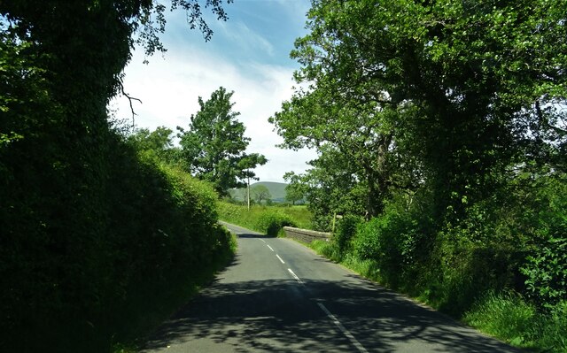
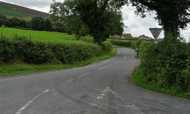
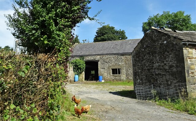
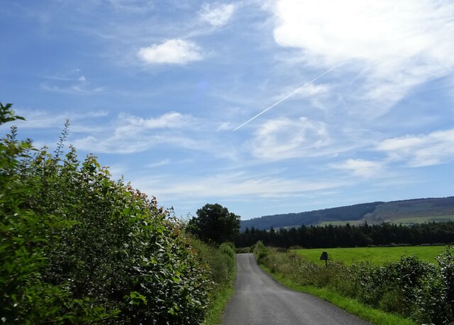
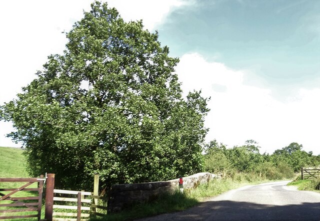
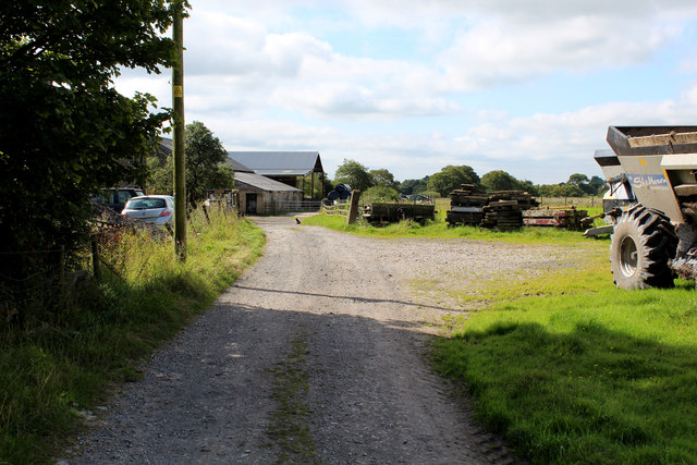
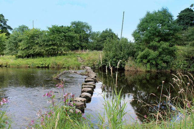
Images are sourced within 2km of 53.879323/-2.5401469 or Grid Reference SD6442. Thanks to Geograph Open Source API. All images are credited.


Dusty Clough Wood is located at Grid Ref: SD6442 (Lat: 53.879323, Lng: -2.5401469)
Administrative County: Lancashire
District: Ribble Valley
Police Authority: Lancashire
What 3 Words
///habit.pots.listening. Near Longridge, Lancashire
Nearby Locations
Related Wikis

River Loud
The River Loud is a river of Lancashire, England. Starting out on Parlick, the Loud meanders mainly through the parish of Chipping, tracing its course...

Lower Lees Farmhouse
Lower Lees Farmhouse is a historic building in the English parish of Bowland Forest Low, Lancashire. It is Grade II listed, built in 1678, and is a sandstone...

Longridge Fell
Longridge Fell is the most southerly fell in England, near the town of Longridge, Lancashire. It lies at the southern end of the Forest of Bowland Area...

Chipping, Lancashire
Chipping is a village and civil parish in the borough of Ribble Valley, Lancashire, England, within the Forest of Bowland Area of Outstanding Natural Beauty...
Nearby Amenities
Located within 500m of 53.879323,-2.5401469Have you been to Dusty Clough Wood?
Leave your review of Dusty Clough Wood below (or comments, questions and feedback).