Seven Ash Common
Wood, Forest in Dorset
England
Seven Ash Common
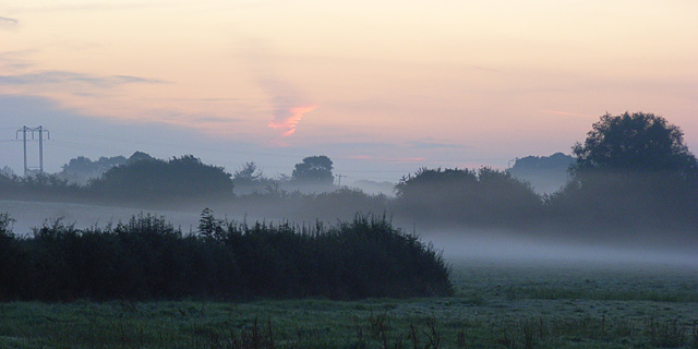
Seven Ash Common is a picturesque woodland located in the county of Dorset, England. Covering an area of approximately 100 acres, this beautiful common is a haven for nature lovers and outdoor enthusiasts. The common is situated near the charming village of Evershot, just a short distance from the famous Jurassic Coast.
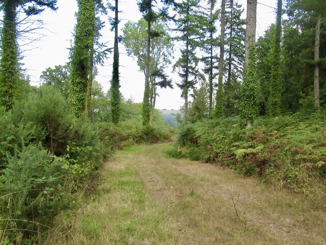
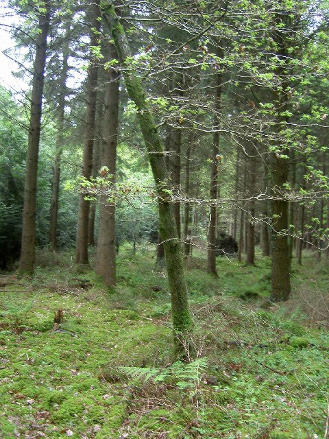
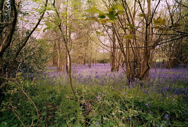
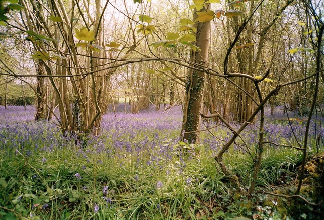
The common is predominantly made up of ancient woodlands, with a diverse range of tree species including oak, beech, and ash. The dense canopy provides a habitat for a variety of wildlife, making it a popular spot for birdwatchers and nature photographers. Visitors can expect to spot species such as woodpeckers, buzzards, and deer.
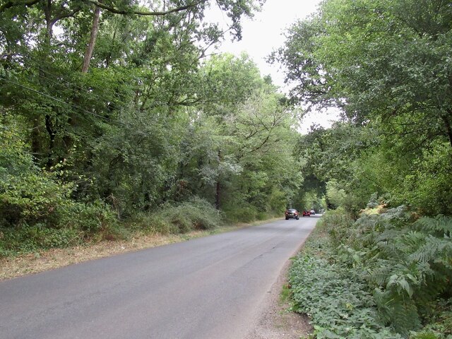
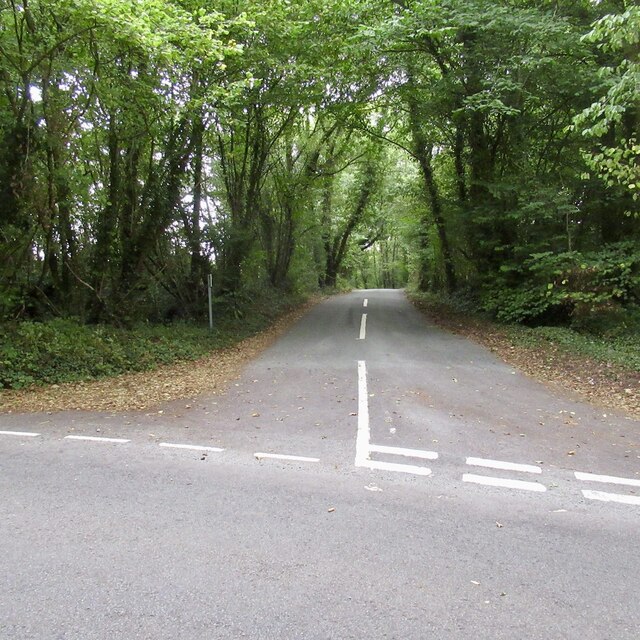
Walking trails wind their way through the common, allowing visitors to explore the tranquil surroundings at their own pace. The paths are well-maintained and clearly marked, making it easy for visitors to navigate their way through the woodland. There are also several picnic areas dotted throughout the common, providing the perfect spot to rest and enjoy a packed lunch.
Seven Ash Common is a designated Site of Special Scientific Interest (SSSI), recognizing its importance for its unique ecology and biodiversity. The common is managed by the local authorities, who work to preserve its natural beauty and protect the wildlife that calls it home.
Overall, Seven Ash Common is a hidden gem in the Dorset countryside, offering a peaceful retreat for those seeking a connection with nature. Whether you're a keen hiker, a birdwatcher, or simply someone who enjoys the tranquility of the great outdoors, this enchanting woodland is a must-visit destination.
If you have any feedback on the listing, please let us know in the comments section below.
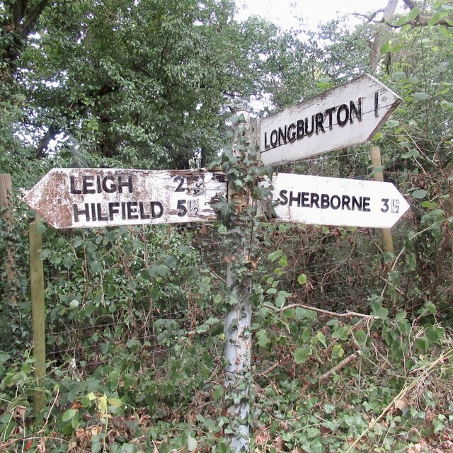
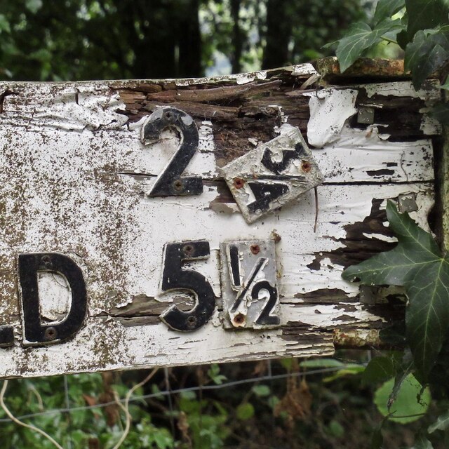
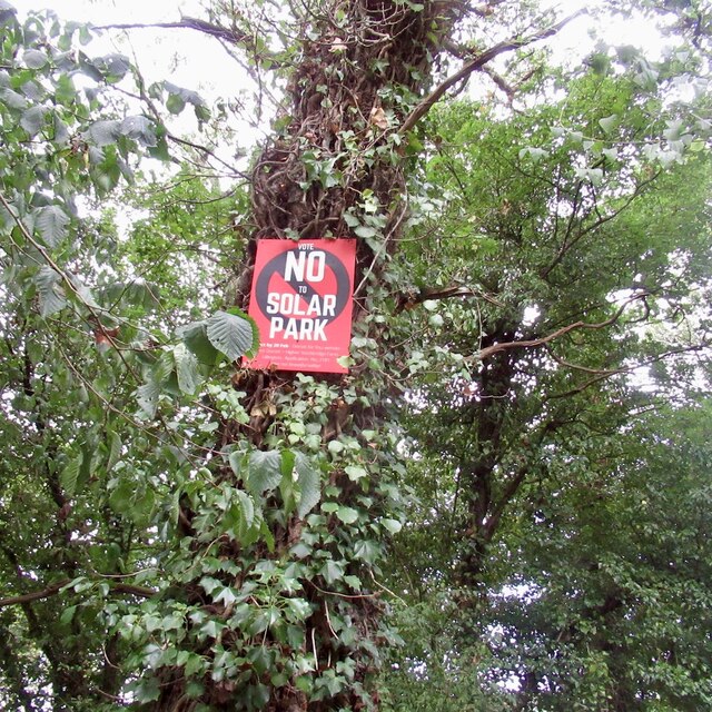
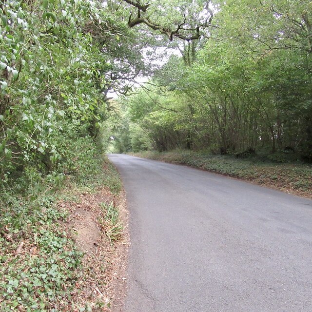
Seven Ash Common Images
Images are sourced within 2km of 50.889995/-2.5064653 or Grid Reference ST6410. Thanks to Geograph Open Source API. All images are credited.


Seven Ash Common is located at Grid Ref: ST6410 (Lat: 50.889995, Lng: -2.5064653)
Unitary Authority: Dorset
Police Authority: Dorset
What 3 Words
///flickers.irrigate.endlessly. Near Yetminster, Dorset
Related Wikis

Holnest
Holnest is a village and civil parish in the county of Dorset in southern England. It lies in the Blackmore Vale 4 miles (6.4 km) south of Sherborne. It...

Holnest SSSI, Dorset
Holnest SSSI, Dorset (grid reference ST667106) is a 54.83 hectare biological Site of Special Scientific Interest in Dorset, notified in 2004.The site has...
Leweston School
Leweston School is an independent day and boarding school near Sherborne in Dorset, England. The school is co-educational in the Nursery and Preparatory...
Longburton
Longburton or Long Burton is a village in Dorset, England, three miles (5 km) south of Sherborne. It is sited on a narrow outcrop of Cornbrash limestone...

Lillington, Dorset
Lillington is a hamlet and civil parish in north west Dorset, England, situated 3 miles (4.8 km) south of Sherborne. Dorset County Council estimate that...

Leigh, Dorset
Leigh ( ) is a village and civil parish in the county of Dorset in southern England, situated approximately 5 miles (8.0 km) south-southwest of Sherborne...

Hermitage, Dorset
Hermitage is a small village and civil parish in the county of Dorset in southern England. It is situated in the Blackmore Vale under the scarp of the...
Folke Wood
Folke Wood is a wood near Folke in Dorset, England. It was planted by the Woodland Trust in 1985. It consists of native broadleaved trees as well as apple...
Nearby Amenities
Located within 500m of 50.889995,-2.5064653Have you been to Seven Ash Common?
Leave your review of Seven Ash Common below (or comments, questions and feedback).