Blackway Coppice

Wood, Forest in Herefordshire

England

Blackway Coppice

Stretton Grandison Vicarage & Church Not easy to find anything more quintessentially English than this in the Herefordshire countryside.
Stretton Grandison Vicarage & Church Credit: John Phillips

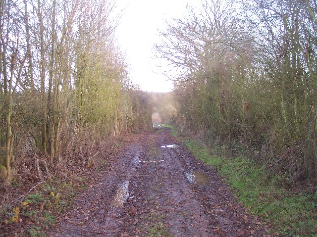
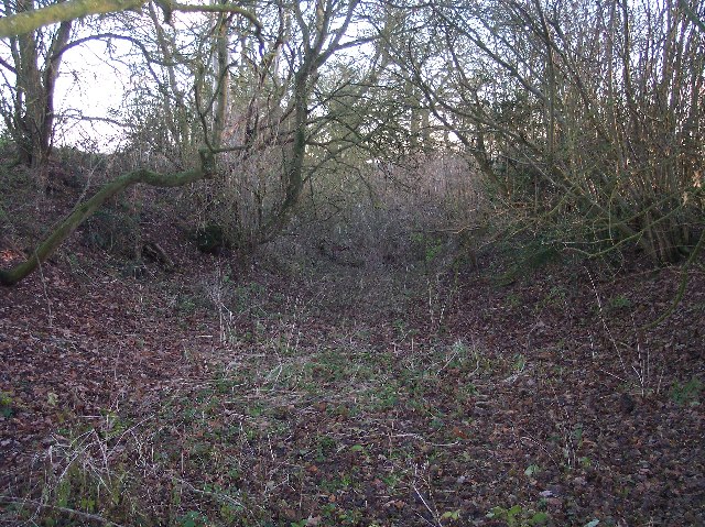
Blackway Coppice is a captivating woodland located in Herefordshire, England. This ancient forest covers an area of approximately 50 acres and is nestled within a picturesque landscape. The coppice is renowned for its rich biodiversity and is home to a diverse range of flora and fauna.

In terms of vegetation, Blackway Coppice is predominantly composed of deciduous trees, including oak, ash, and beech. These majestic trees provide a dense canopy that filters the sunlight, creating a tranquil and shaded environment below. The forest floor is adorned with a carpet of wildflowers, ferns, and mosses, adding to the enchanting atmosphere.

Wildlife thrives within the coppice, with an abundance of species calling it home. Birdwatchers will delight in the opportunity to spot various avian species, such as woodpeckers, thrushes, and owls. The forest is also a haven for mammals, including foxes, badgers, and deer, which can often be spotted grazing or foraging.

Blackway Coppice offers visitors a range of recreational activities. Nature enthusiasts can enjoy leisurely walks along the well-maintained trails, immersing themselves in the beauty of the woodland. The forest is also a popular spot for picnics and photography, providing ample opportunities to capture the natural splendor.

In conclusion, Blackway Coppice in Herefordshire is a captivating woodland that offers a serene and diverse natural environment. With its ancient trees, vibrant flora, and abundant wildlife, it is a must-visit destination for nature lovers and those seeking a peaceful retreat.

If you have any feedback on the listing, please let us know in the comments section below.

Blackway Coppice Images

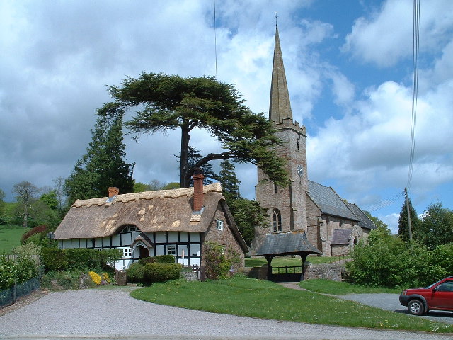
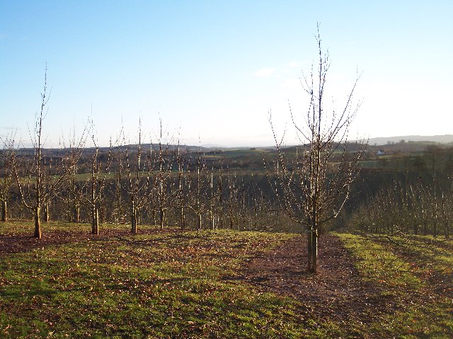
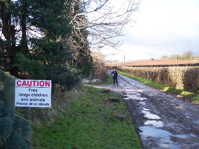
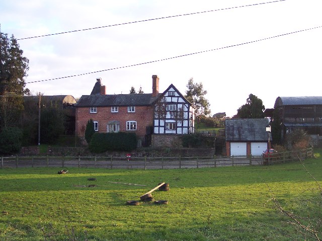
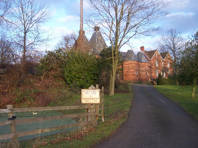
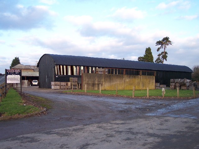
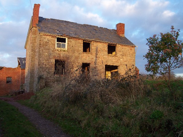
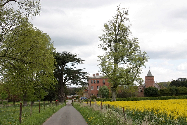
Images are sourced within 2km of 52.105807/-2.5224951 or Grid Reference SO6445. Thanks to Geograph Open Source API. All images are credited.

Stretton Grandison Vicarage & Church Not easy to find anything more quintessentially English than this in the Herefordshire countryside.
Stretton Grandison Vicarage & Church
Not easy to find anything more quintessentially English than this in the Herefordshire countryside.
Farm building near Canon Frome
Millend Farm, Castle Frome Millend Farm viewed through a hop field.
Millend Farm, Castle Frome
Millend Farm viewed through a hop field.
Old Road from Panks Bridge to Five Bridges Looking east close to the hamlet of Five Bridges.
Old Road from Panks Bridge to Five Bridges
Looking east close to the hamlet of Five Bridges.
Recent Orchard on the site of Moorend Coppice At the highest point of the old road from Five Bridges to Hope's Rough, quite close to Bromtree's Hall. Looking south through the recently planted trees looking towards May Hill on the horizon (but barely visible on this picture).
Recent Orchard on the site of Moorend Coppice
At the highest point of the old road from Five Bridges to Hope's Rough, quite close to Bromtree's Hall. Looking south through the recently planted trees looking towards May Hill on the horizon (but barely visible on this picture).
Holloway, Old Road from Hope's Rough to Five Bridges Looking SE down the holloway. No longer used as a right of way though a footpath follows the route in the fields to the right of the track.
Holloway, Old Road from Hope's Rough to Five Bridges
Looking SE down the holloway. No longer used as a right of way though a footpath follows the route in the fields to the right of the track.
Old Road to Hope's Rough - Free Range Wife Taken near what was the Five Bridges Inn. The route along the old road is only a right of way on foot. The well used farm track, coincident at this point, deceptively takes one in the wrong direction for a very muddy, but interesting New Years Day ramble.
Old Road to Hope's Rough - Free Range Wife
Taken near what was the Five Bridges Inn. The route along the old road is only a right of way on foot. The well used farm track, coincident at this point, deceptively takes one in the wrong direction for a very muddy, but interesting New Years Day ramble.
Lower Eggleton Court Looking south from the A4103 Hereford to Worcester road.
Lower Eggleton Court
Looking south from the A4103 Hereford to Worcester road.
Upper Eggleton Court Now a Fine Art Gallery
Upper Eggleton Court
Now a Fine Art Gallery
Leighton Court Business Centre Diversification from farm to business units. With at least 5 business units already let.
Leighton Court Business Centre
Diversification from farm to business units. With at least 5 business units already let.
River Frome Footpath Looking south. The footpath follows the River Frome downstream.
River Frome Footpath
Looking south. The footpath follows the River Frome downstream.
Old Hillend Farm, Much Cowarne Caught in the last rays of sun - undergoing restoration.
Old Hillend Farm, Much Cowarne
Caught in the last rays of sun - undergoing restoration.
Footpath to Upper Eggleton From close to Old Hillend Farm. Looking south just as the sun was about to set.
Footpath to Upper Eggleton
From close to Old Hillend Farm. Looking south just as the sun was about to set.
View South from Old Hillend Farm Winter sunset (15:30) looking south over the fields of Much Cowarne parish towards Stretton Coppice and Windmill Hill.
View South from Old Hillend Farm
Winter sunset (15:30) looking south over the fields of Much Cowarne parish towards Stretton Coppice and Windmill Hill.
Five Bridges A small hamlet with a now closed Inn at what was once an important T junction (or even earlier a crossroads). Now holiday accommodation <span class="nowrap"><a title="http://www.fivebridgescottage.co.uk/home.php" rel="nofollow ugc noopener" href="http://www.fivebridgescottage.co.uk/home.php">Link</a><img style="margin-left:2px;" alt="External link" title="External link - shift click to open in new window" src="https://s1.geograph.org.uk/img/external.png" width="10" height="10"/></span> and the road "straightened" into a gentle curve on the other side of the Inn. The modern road is visible on the right of the photo.
Five Bridges
A small hamlet with a now closed Inn at what was once an important T junction (or even earlier a crossroads). Now holiday accommodation LinkExternal link and the road "straightened" into a gentle curve on the other side of the Inn. The modern road is visible on the right of the photo.
Half Timbered House and Orchard Looking north from the access road to "New House" the house in the photograph is off the bridleway to Hutt Farm.
Half Timbered House and Orchard
Looking north from the access road to "New House" the house in the photograph is off the bridleway to Hutt Farm.
Poultry Houses, Blackway Located close to the old road which has since been bypassed as part of a straightening programme for the busy Hereford to Worcester road.
Poultry Houses, Blackway
Located close to the old road which has since been bypassed as part of a straightening programme for the busy Hereford to Worcester road.
Church Cottage, Stretton Grandison Attractive chocolate box thatched cottage next to the church at Stretton Grandison.
Church Cottage, Stretton Grandison
Attractive chocolate box thatched cottage next to the church at Stretton Grandison.
Show me another place!

Blackway Coppice is located at Grid Ref: SO6445 (Lat: 52.105807, Lng: -2.5224951)

Unitary Authority: County of Herefordshire

Police Authority: West Mercia

What 3 Words

///photocopy.roofed.received. Near Moreton Jeffries, Herefordshire

Nearby Locations

Blackway Coppice

Related Wikis

Eggleton, Herefordshire

Eggleton (or Egleton) is a small civil parish in Herefordshire, England. Its main centres of population are Lower Eggleton and Upper Eggleton. The parish...

Canon Frome

Canon Frome is a hamlet and small rural parish on the River Frome, 5 miles northwest of Ledbury, Herefordshire, England with a population of 139. Its most...

Stretton Grandison

Stretton Grandison is a hamlet and small civil parish in Herefordshire, England. The population of the civil parish at the 2011 census was 175.It is on...

Much Cowarne

Much Cowarne is a village and civil parish in the English county of Herefordshire, located off the A417 about 16 miles from Hereford and 10 miles from...

Nearby Amenities

Located within 500m of 52.105807,-2.5224951
Power: pole
Lat/Long: 52.1097837/-2.5234866
Power: pole
Lat/Long: 52.1077905/-2.5267589
Power: pole
Lat/Long: 52.1058564/-2.5284162
Power: pole
Lat/Long: 52.1067427/-2.5276815
Power: pole
Lat/Long: 52.1092399/-2.5255841
Tapper Meadow
Power: pole
Transformer: distribution
Voltage Primary: 11000
Lat/Long: 52.1051288/-2.5164109
Power: pole
Lat/Long: 52.1045019/-2.51752
Power: pole
Lat/Long: 52.1045703/-2.5192045
Power: pole
Lat/Long: 52.104436/-2.5209975
Power: pole
Lat/Long: 52.1042902/-2.5227195
Power: pole
Lat/Long: 52.1047606/-2.5238742
Power: pole
Lat/Long: 52.1052013/-2.5250182
Blackway
Power: pole
Transformer: distribution
Voltage Primary: 11000
Lat/Long: 52.106833/-2.5248089
Power: pole
Lat/Long: 52.1061197/-2.5255197
Power: pole
Lat/Long: 52.1091681/-2.5261165
Leighton Court Poultry
Location Transition: yes
Power: pole
Transformer: distribution
Voltage Primary: 11000
Lat/Long: 52.109785/-2.5256934
Power: pole
Lat/Long: 52.1076954/-2.527121
Power: pole
Lat/Long: 52.1084207/-2.5266268
Power: pole
Lat/Long: 52.1073058/-2.5273979
Power: pole
Lat/Long: 52.1062251/-2.526826
Power: pole
Lat/Long: 52.1068866/-2.5276846
Power: pole
Lat/Long: 52.1059298/-2.5264404
Power: pole
Lat/Long: 52.1056053/-2.5260159
Power: pole
Lat/Long: 52.1051292/-2.5264867
Power: pole
Lat/Long: 52.1044409/-2.5271599
Power: pole
Lat/Long: 52.1037828/-2.5277963
Power: pole
Lat/Long: 52.1030912/-2.527874
The data included in this document is from www.openstreetmap.org. The data is made available under ODbL.

Have you been to Blackway Coppice?

Leave your review of Blackway Coppice below (or comments, questions and feedback).