Captain Wood
Wood, Forest in Westmorland Eden
England
Captain Wood

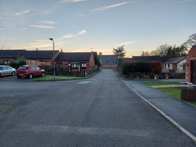
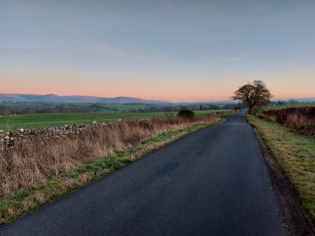
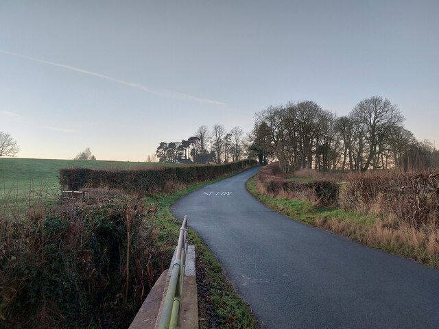
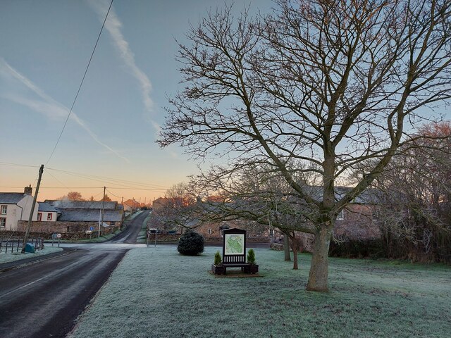
Captain Wood, Westmorland (also known as Wood, Forest) is a small village located in the county of Cumbria, England. Situated in the Westmorland Dales National Park, this picturesque village is surrounded by stunning natural beauty and offers a peaceful retreat for residents and visitors alike.
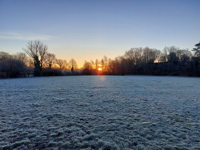
The village is known for its dense woodland, which gives it its name. The woodlands are home to a variety of flora and fauna, making it a popular destination for nature enthusiasts and hikers. The village itself consists of a cluster of traditional stone houses, giving it a charming and rustic feel.
Despite its small size, Captain Wood has a strong sense of community. The villagers are friendly and welcoming, and there is a close-knit community spirit that is evident in the various local events and activities that take place throughout the year. The village has a small primary school, a village hall, and a quaint local pub that serves as a gathering place for residents.
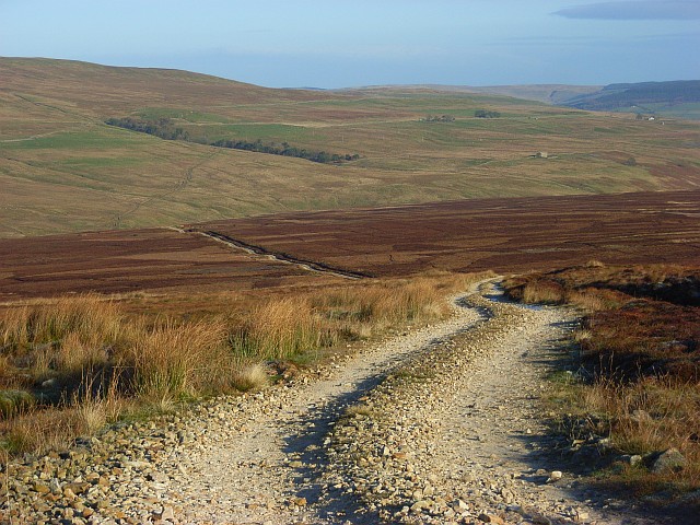
For those seeking outdoor activities, Captain Wood offers plenty of opportunities. The surrounding area is ideal for walking, cycling, and even horse riding, with numerous trails and paths to explore. The nearby Westmorland Dales National Park provides breathtaking landscapes, including rolling hills, rivers, and moorlands.
Overall, Captain Wood, Westmorland is a hidden gem in the English countryside, offering a peaceful and idyllic setting for those looking to escape the hustle and bustle of city life.
If you have any feedback on the listing, please let us know in the comments section below.
Captain Wood Images
Images are sourced within 2km of 54.603896/-2.5563405 or Grid Reference NY6423. Thanks to Geograph Open Source API. All images are credited.


Captain Wood is located at Grid Ref: NY6423 (Lat: 54.603896, Lng: -2.5563405)
Administrative County: Cumbria
District: Eden
Police Authority: Cumbria
What 3 Words
///absorb.booklets.evoked. Near Appleby-in-Westmorland, Cumbria
Nearby Locations
Related Wikis

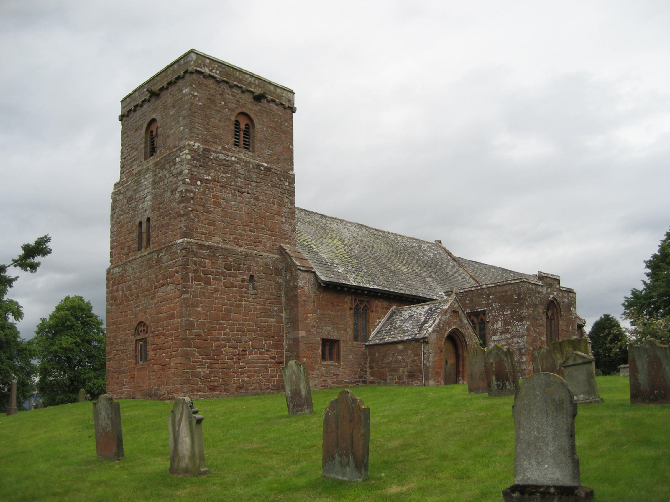
All Saints Church, Bolton
All Saints Church is in the village of Bolton, Cumbria, England. It is an active Anglican parish church in the deanery of Appleby, the archdeaconry of...
Bolton, Cumbria
Bolton is a village and civil parish in the Eden District of Cumbria, England, about 4 miles (6 km) north west of Appleby-in-Westmorland, and on the River...

Eden Grove School
Eden Grove School was a residential special school in Bolton near the town of Appleby-in-Westmorland in Cumbria, England. The school was opened in September...
Kirkby Thore railway station
Kirkby Thore railway station was a railway station situated on the Eden Valley Railway between Penrith and Kirkby Stephen East. It served the village of...
Maiden Way
The Maiden Way or Maidenway (Middle English: Maydengathe; Medieval Latin: Via Puellarum) was a roughly 20-mile (32 km) Roman road in northern Britain connecting...

Kirkby Thore
Kirkby Thore is a small village and civil parish in Cumbria, England (grid reference NY639257), in the historic county of Westmorland. It is close to the...
St Margaret and St James' Church, Long Marton
St Margaret and St James' Church is located about 0.5 miles (0.8 km) to the south of the village of Long Marton, Cumbria, England. It is an active Anglican...

Broom, Cumbria
Broom is a hamlet near the village of Long Marton, in the Eden district, in the county of Cumbria, England. == Location == It is located about two miles...
Nearby Amenities
Located within 500m of 54.603896,-2.5563405Have you been to Captain Wood?
Leave your review of Captain Wood below (or comments, questions and feedback).