Hunstrete Plantation
Wood, Forest in Somerset
England
Hunstrete Plantation

Hunstrete Plantation is a picturesque woodland area located in Somerset, England. Covering approximately 100 hectares, it is a designated Site of Special Scientific Interest (SSSI) due to its ecological importance and diverse range of flora and fauna.
The plantation is predominantly made up of broadleaf woodland, with species such as oak, beech, and ash dominating the landscape. These ancient trees provide a habitat for a variety of wildlife, including deer, badgers, and numerous bird species. In spring, the woodland floor is carpeted with bluebells, creating a stunning display of color.
The management of Hunstrete Plantation is focused on preserving and enhancing its biodiversity. Conservation efforts include selective tree felling to encourage new growth and create glades, as well as the creation of ponds to support amphibians and invertebrates. The plantation is also managed for sustainable timber production, with careful consideration given to maintaining the health and vitality of the woodland.
Visitors to Hunstrete Plantation can enjoy a network of well-maintained paths and trails, allowing for leisurely walks and exploration of the woodland. The area is popular with nature enthusiasts, photographers, and families seeking outdoor activities. The plantation is also home to a number of educational programs and events, providing an opportunity for people of all ages to learn about the importance of woodland conservation.
Hunstrete Plantation offers a tranquil escape from the hustle and bustle of everyday life, providing a haven for both wildlife and visitors alike. Its natural beauty and ecological significance make it a cherished asset to the Somerset community.
If you have any feedback on the listing, please let us know in the comments section below.
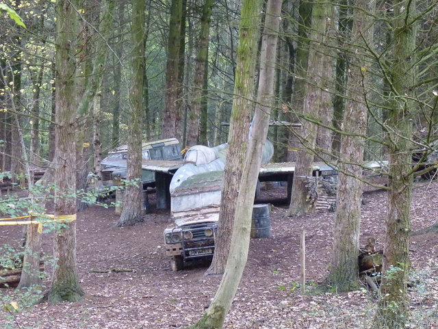
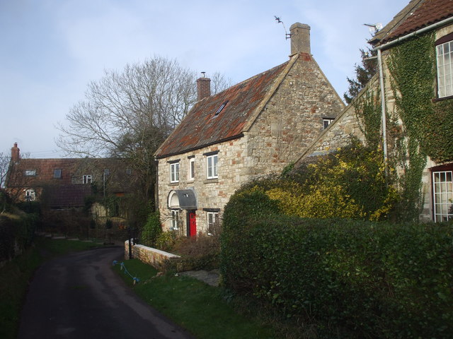
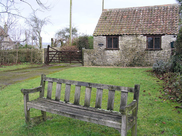
Hunstrete Plantation Images
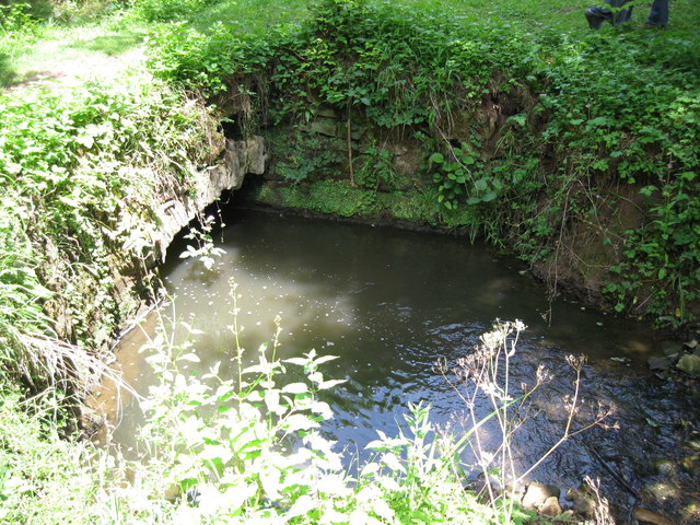
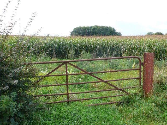
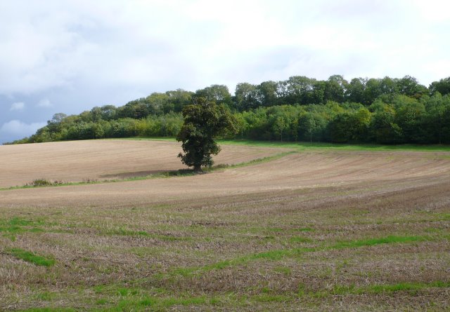
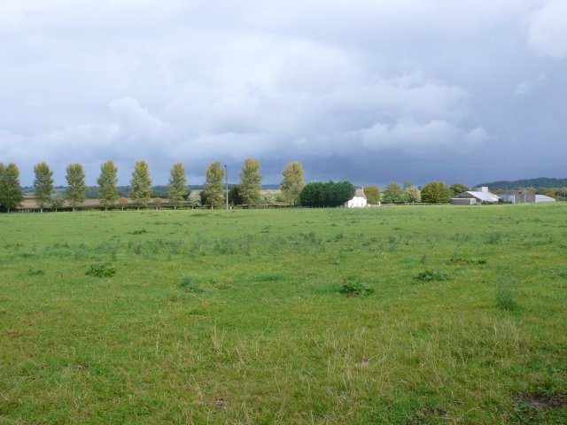
Images are sourced within 2km of 51.358899/-2.516505 or Grid Reference ST6462. Thanks to Geograph Open Source API. All images are credited.


Hunstrete Plantation is located at Grid Ref: ST6462 (Lat: 51.358899, Lng: -2.516505)
Unitary Authority: Bath and North East Somerset
Police Authority: Avon and Somerset
What 3 Words
///playful.stereos.crackles. Near Compton Dando, Somerset
Nearby Locations
Related Wikis
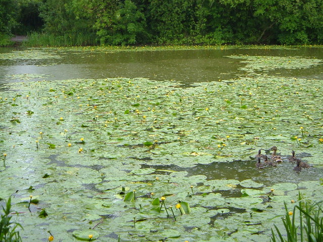
Hunstrete Lake
Hunstrete Lake (grid reference ST646622) is a mature lake of 5 acres (20,000 m2). Two new lakes of 3.5 acres (14,000 m2) were constructed alongside in...
Hunstrete
Hunstrete (grid reference ST625643) is a small village on the River Chew in the Chew Valley, Bath and North East Somerset, England. It falls within the...

Chelwood
Chelwood is a small village and civil parish in Somerset, England, and is in the affluent Chew Valley in the Bath and North East Somerset council area...
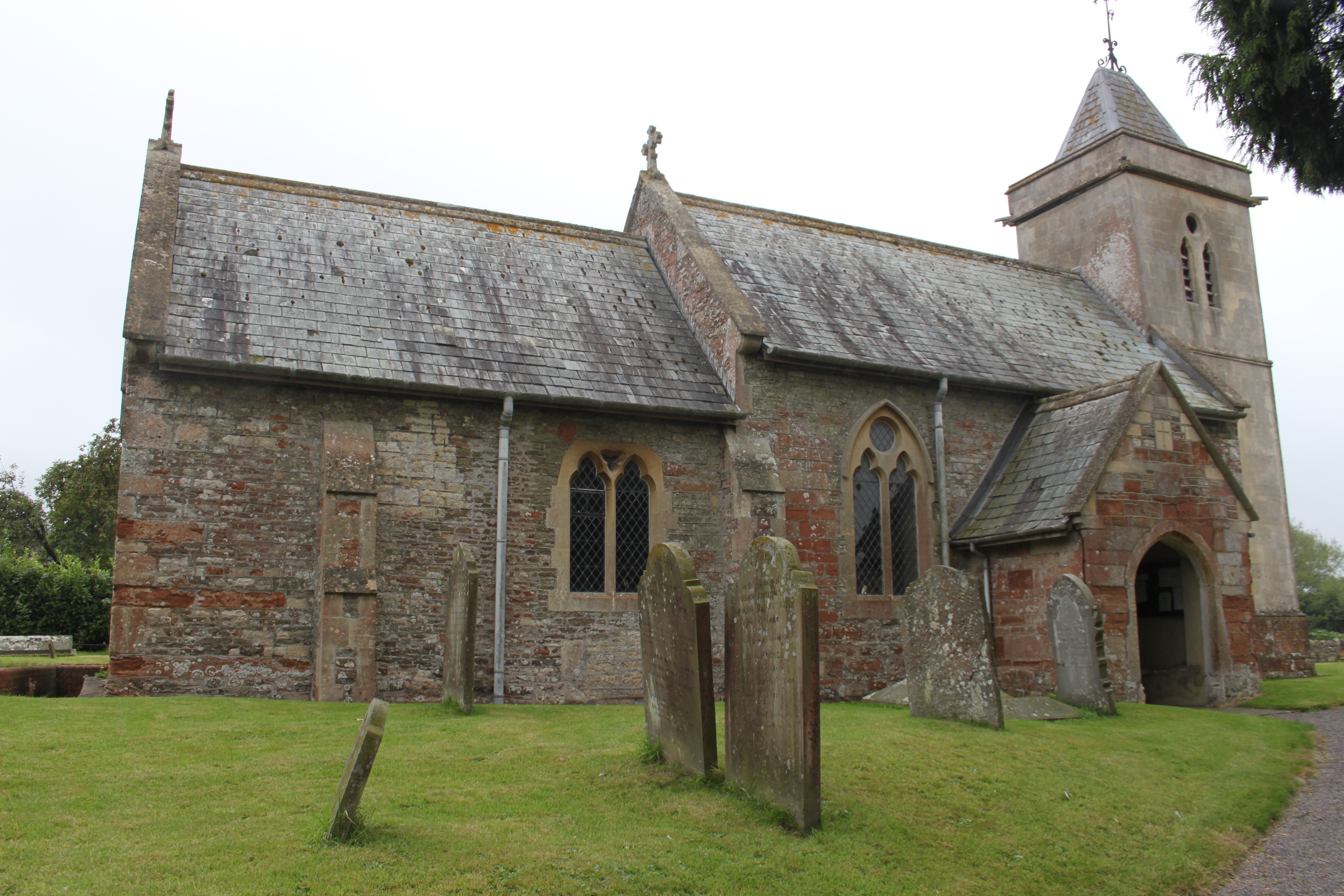
Church of St Leonard, Chelwood
The Church of St Leonard is a redundant church in Chelwood, Somerset, England. It was built in the 14th century and has been designated as a Grade II...
Nearby Amenities
Located within 500m of 51.358899,-2.516505Have you been to Hunstrete Plantation?
Leave your review of Hunstrete Plantation below (or comments, questions and feedback).